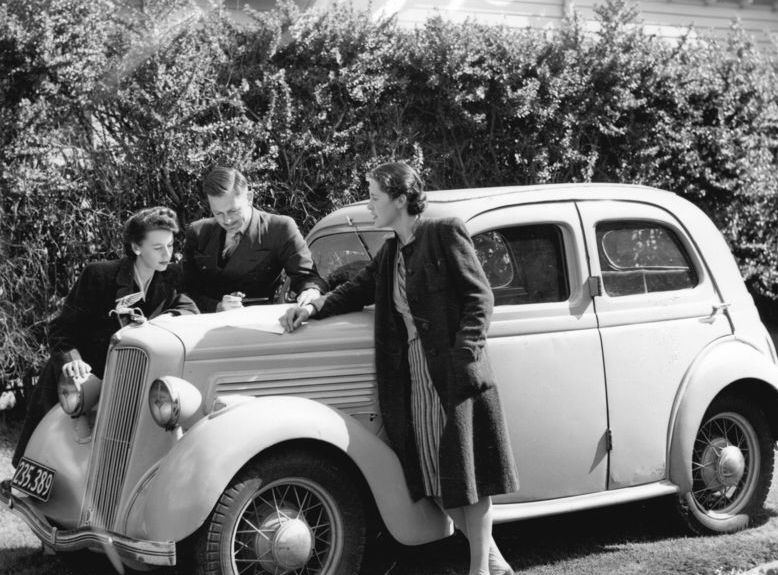
In 1968 a long journey required two people doing two different jobs. One drove, and one held a sheet of paper the size of a windscreen, worked out where the car currently was, calculated distances out loud and said what to do next. The second job was frequently given to a child, because somebody had to do it and the driver could not. Getting lost was expected, the argument was structurally guaranteed and the map was ruined by its own folds within a year. Here are fifteen things every family did in the car before satellite navigation, and what disappeared along with the job. The planning started the night before, on a table, with the whole route worked out in advance because there was no useful way to reconsider it once the car was moving. Distances were calculated by hand against a printed scale. Arrival times were invented. The maps themselves were given away free at service stations and were often excellent, and within a year of use every one of them had torn along the folds in the middle, which is exactly where the route was.
1. Somebody in the Car Had to Be the Navigator and It Was a Real Job
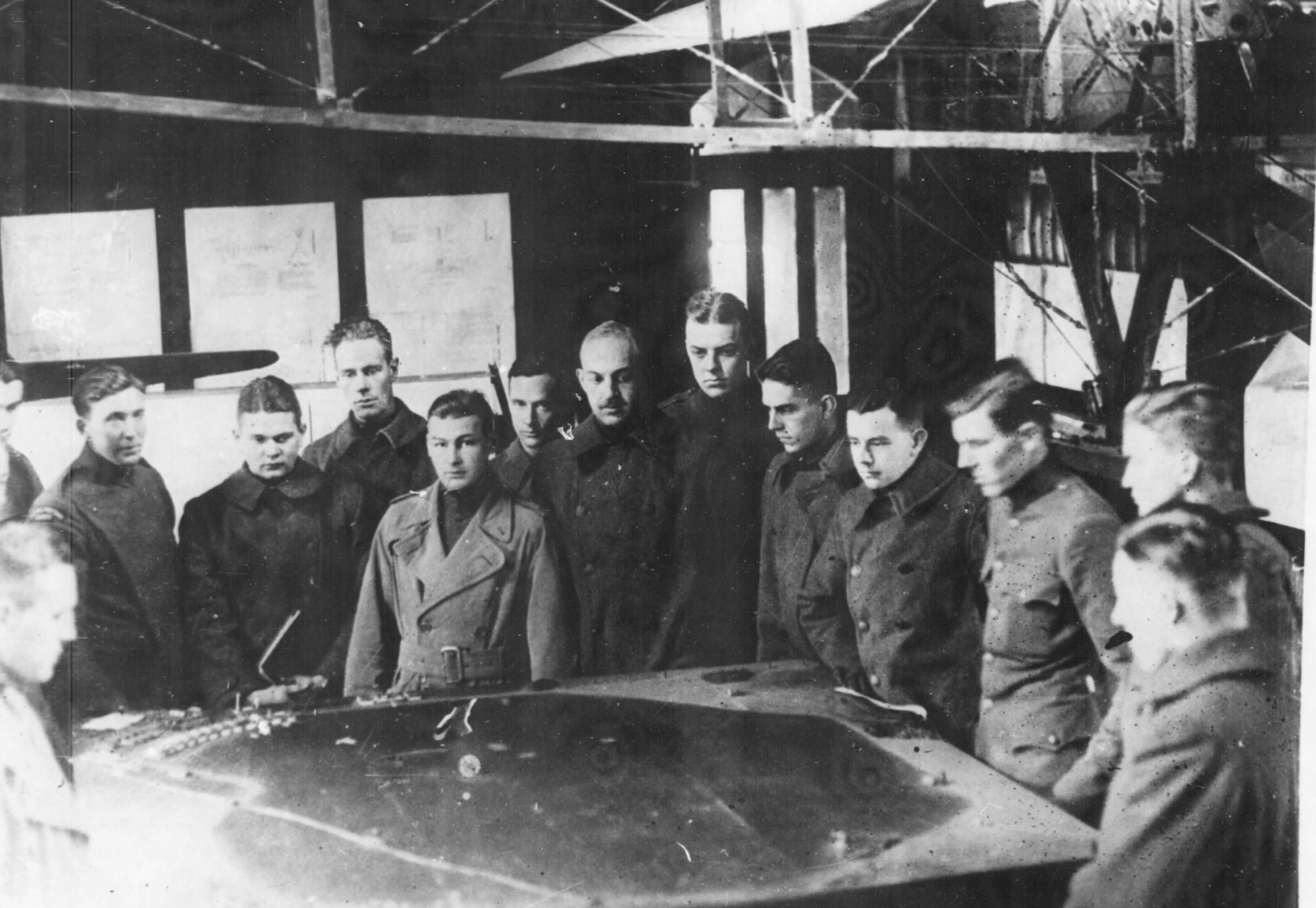
One person held the map, answered questions and was responsible for the route, and the driver could not do it.
The division of labour was absolute because it had to be. A person driving cannot read a map, and a map cannot be consulted at speed, which means the only workable arrangement is one person operating the vehicle and another operating the information.
The job was frequently given to a child. A ten-year-old in the front seat with a map across their knees was performing a task the journey genuinely depended on, which is a weight of responsibility children very rarely carried.
Like our content? Follow us for more.
2. The Map Was Enormous and Could Not Be Folded Back
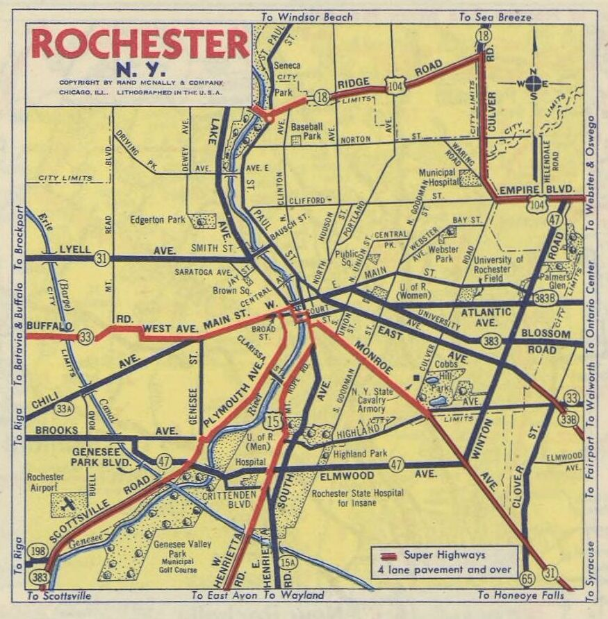
Opened out it covered the whole front of a car, and returning it to its original folded state was effectively impossible.
The folding problem was universal and permanent. A sheet creased in two directions by a machine cannot be reproduced by hand in a moving vehicle, and every map in every glovebox was progressively worse folded than the day it was bought.
The creases eventually destroyed them. A map opened and closed a hundred times tears along its folds first, which means the sections most used – the ones in the middle of the route – were the ones that disappeared.
3. Finding Where You Actually Were Was the Hard Part
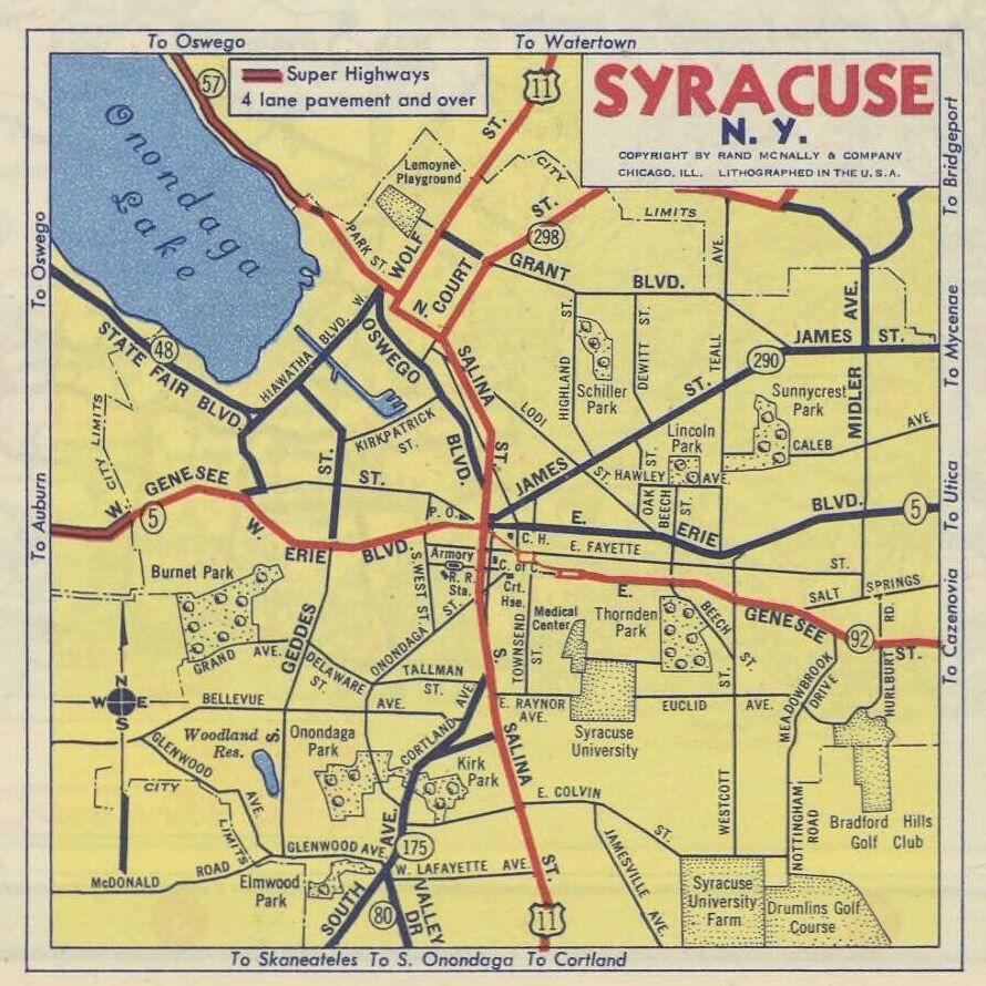
Reading the map was simple. Locating your own position on it was the skill that took practice.
The asymmetry is what people forget. Anybody can follow a line on a page; the difficulty is establishing which line you are currently on, using nothing but the last few things you have driven past.
The method was entirely inferential. A navigator worked from the last known point, the time elapsed and whatever signs had appeared since, and the whole business collapsed the moment somebody stopped paying attention for ten minutes.
4. Getting Lost Was a Normal Part of Any Long Journey
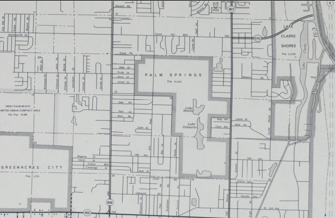
It happened on most trips of any length and was treated as an ordinary complication rather than a failure.
The frequency is the thing that is hardest to convey now. A journey into unfamiliar territory in 1968 was genuinely likely to involve a wrong turning, and everybody in the vehicle expected it.
The recovery procedure was standardised. Stop, find a landmark, locate it on the map, work out where you are, decide what to do – a sequence every family performed several times a year, usually with the engine running at the side of a road.
5. The Argument Was Structurally Inevitable
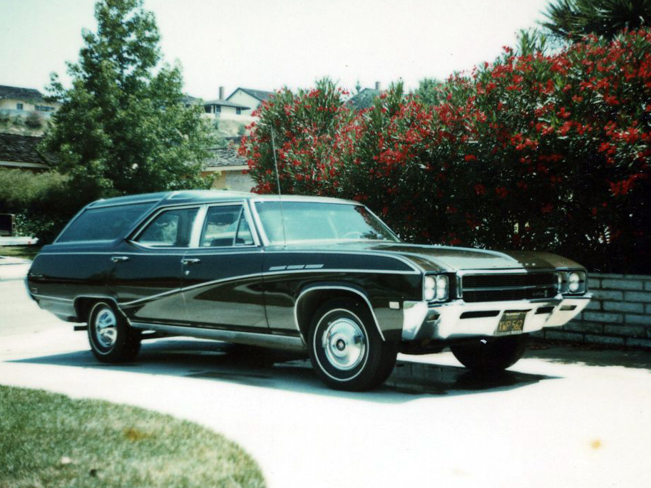
A driver with an opinion and a navigator with the information produces a disagreement that no amount of goodwill prevents.
The conflict is built into the arrangement. One person has the data and no control, the other has control and no data, and neither can verify what the other is saying – which is a design guaranteed to produce friction.
Everybody who travelled this way has a version of it. The precise words varied and the structure did not, and the argument is remembered far more vividly than any destination it was had on the way to.
6. Stopping to Ask Was a Whole Negotiation
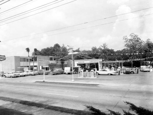
The decision to pull over and ask somebody for directions was contested and frequently resisted.
The reluctance is a genuine historical phenomenon rather than a joke. Asking required finding somebody, stopping, getting out and admitting the position, and there was a real reluctance in a great many drivers to do any of those things.
The directions received were often worse than the map. A stranger giving verbal instructions supplies landmarks a visitor cannot recognise and distances they cannot judge, which is why the asking frequently made things worse rather than better.
7. Mileage Had to Be Calculated by Hand
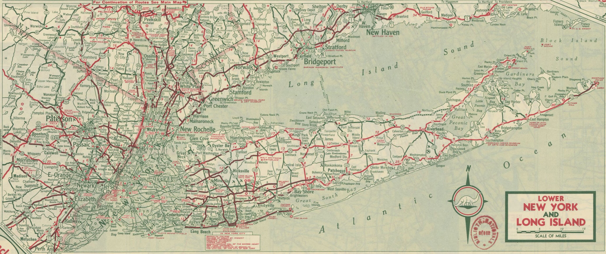
Distances were worked out using a scale, the figures printed between towns, or a piece of string against the key.
The arithmetic was a real part of the job. A navigator asked how far it was to somewhere had to do a calculation, out loud, under pressure, with everybody in the vehicle waiting for the answer.
Time estimates were pure guesswork. Converting a distance into an arrival time requires an assumption about speed that nobody could make reliably, which is why every estimate given from the passenger seat was wrong.
8. The Route Was Planned Before Anybody Left
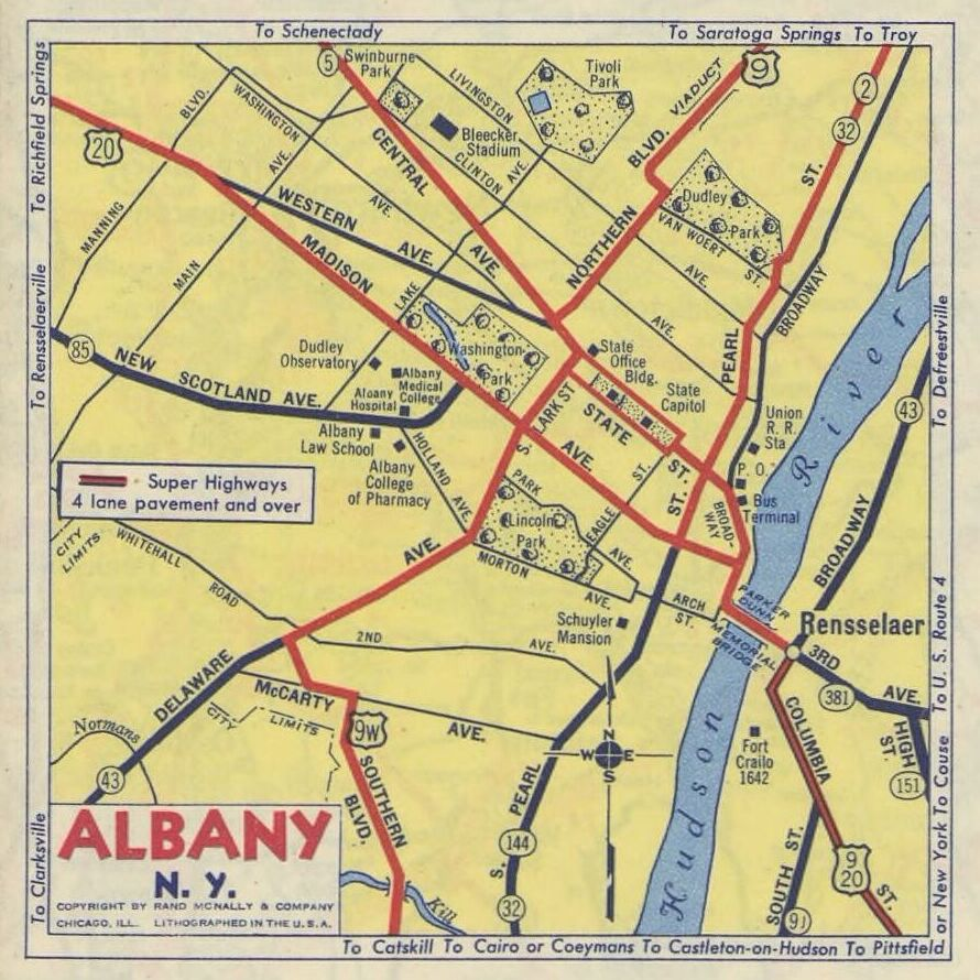
The whole thing was worked out on a table the night before, sometimes marked, sometimes written out as a list.
The advance planning is the part that has completely disappeared. A journey had to be decided in full before it began, because there was no way to reconsider it usefully once it was underway without stopping.
Changes of plan were expensive. Deciding halfway through to go somewhere else meant reopening the map, finding both points and working out a connection from scratch, which is why most families simply did not.
9. Maps Went Out of Date and Nobody Noticed
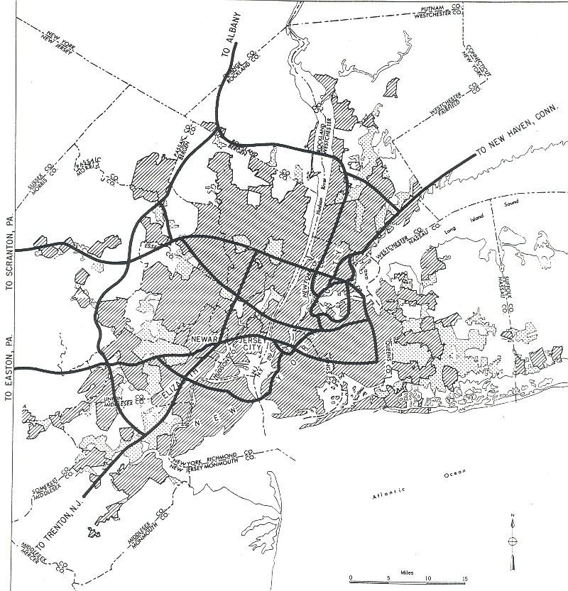
Roads were built, numbers changed and a map two years old could be confidently wrong.
The silent obsolescence caused real problems. A map does not announce that it is outdated, so a navigator following it faithfully could be led somewhere that no longer connected to anything.
It also made new roads disorienting. A driver on a road that does not exist on the map in the car has no way to establish where they are at all, which is a specific kind of alarm nobody experiences now.
10. The Glovebox Accumulated Them
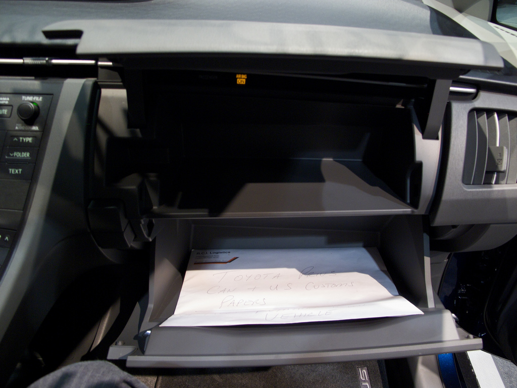
Maps were kept rather than discarded, and a vehicle gradually acquired a collection covering everywhere it had ever been.
The accumulation was involuntary and revealing. Nobody set out to keep them, but throwing one away felt wasteful, and the result was a compressed record of a family’s travels sitting in the front of the car.
They were rarely reread. A map for somewhere you went once in 1965 has no further use, and the collection was almost entirely sediment rather than resource.
11. Free Maps Came From Service Stations
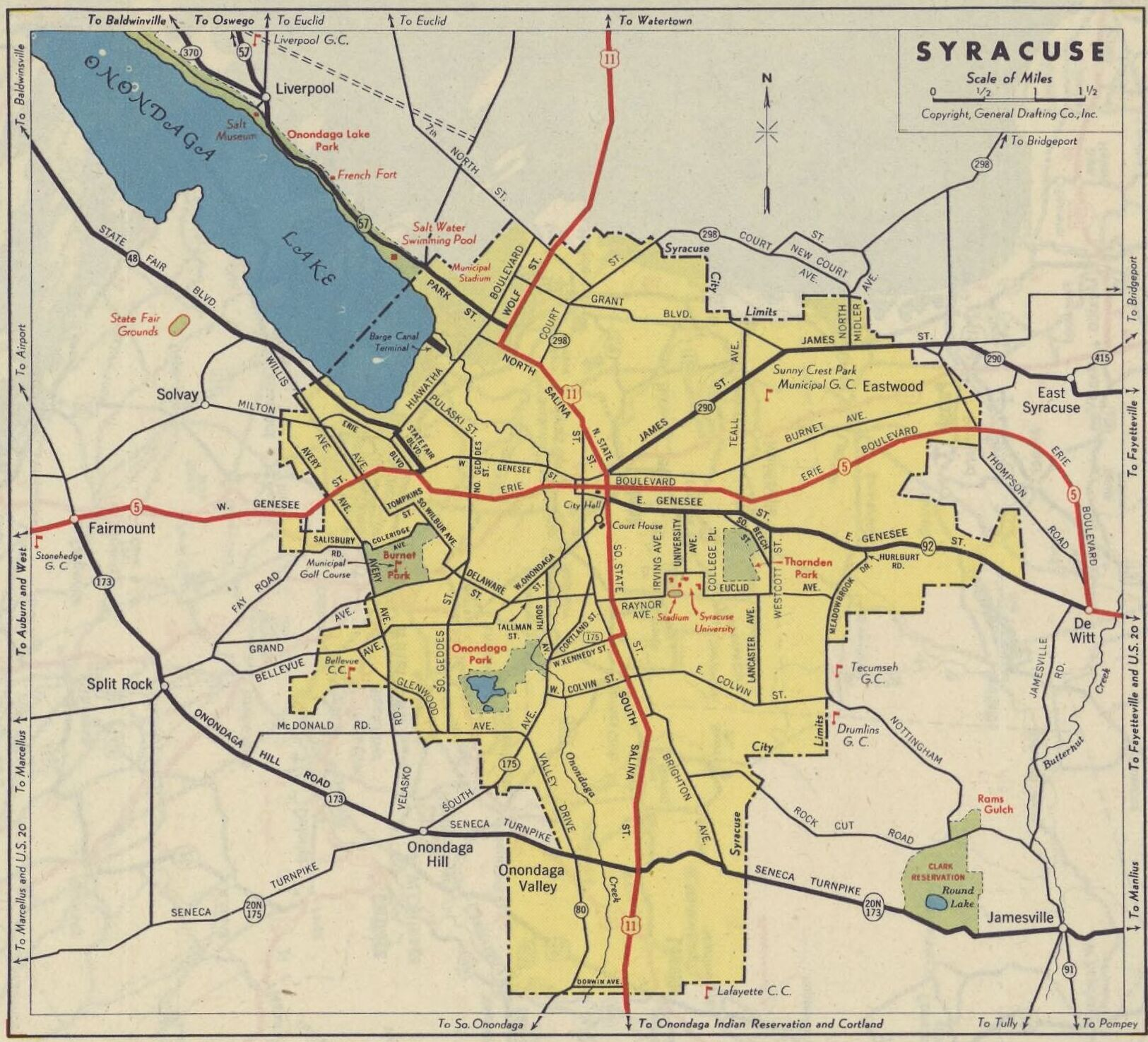
They were handed out at no charge, as a courtesy, and taking one was expected rather than cheeky.
The economics made sense to everybody involved. A business that benefits from people travelling further has an obvious interest in making the journey easier, and the map carried the name of whoever gave it out.
The quality was frequently excellent. These were not promotional items with a map on them; they were proper maps that happened to be free, which is a combination that has essentially disappeared.
12. Children Learned Geography Without Being Taught Any
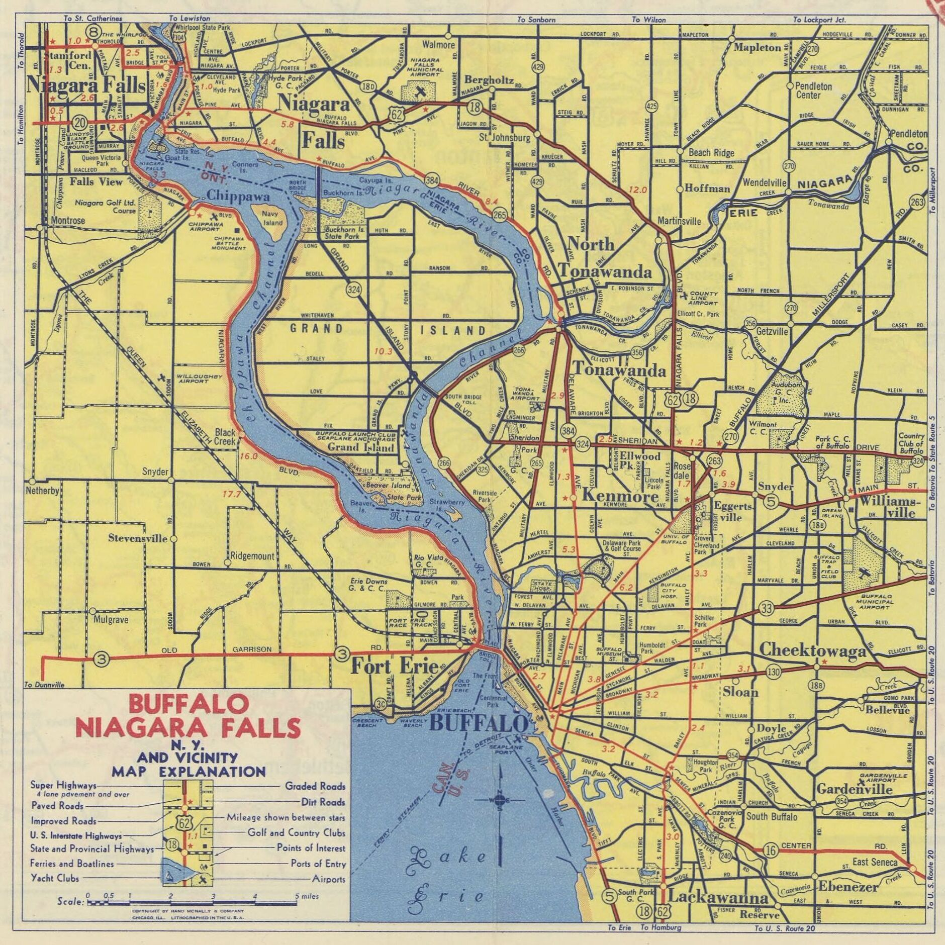
A child who navigated for several years acquired a detailed mental picture of a region that no lesson produced.
The learning was a by-product and was far more durable than the classroom version. Knowing where somewhere is because you have located it yourself, under pressure, with your family waiting, is not the same as knowing it because you were told.
It also produced a sense of scale. A child who has worked out that one place is three hours from another has a feeling for distance that looking at a screen does not supply.
13. The Map Had to Be Held a Particular Way
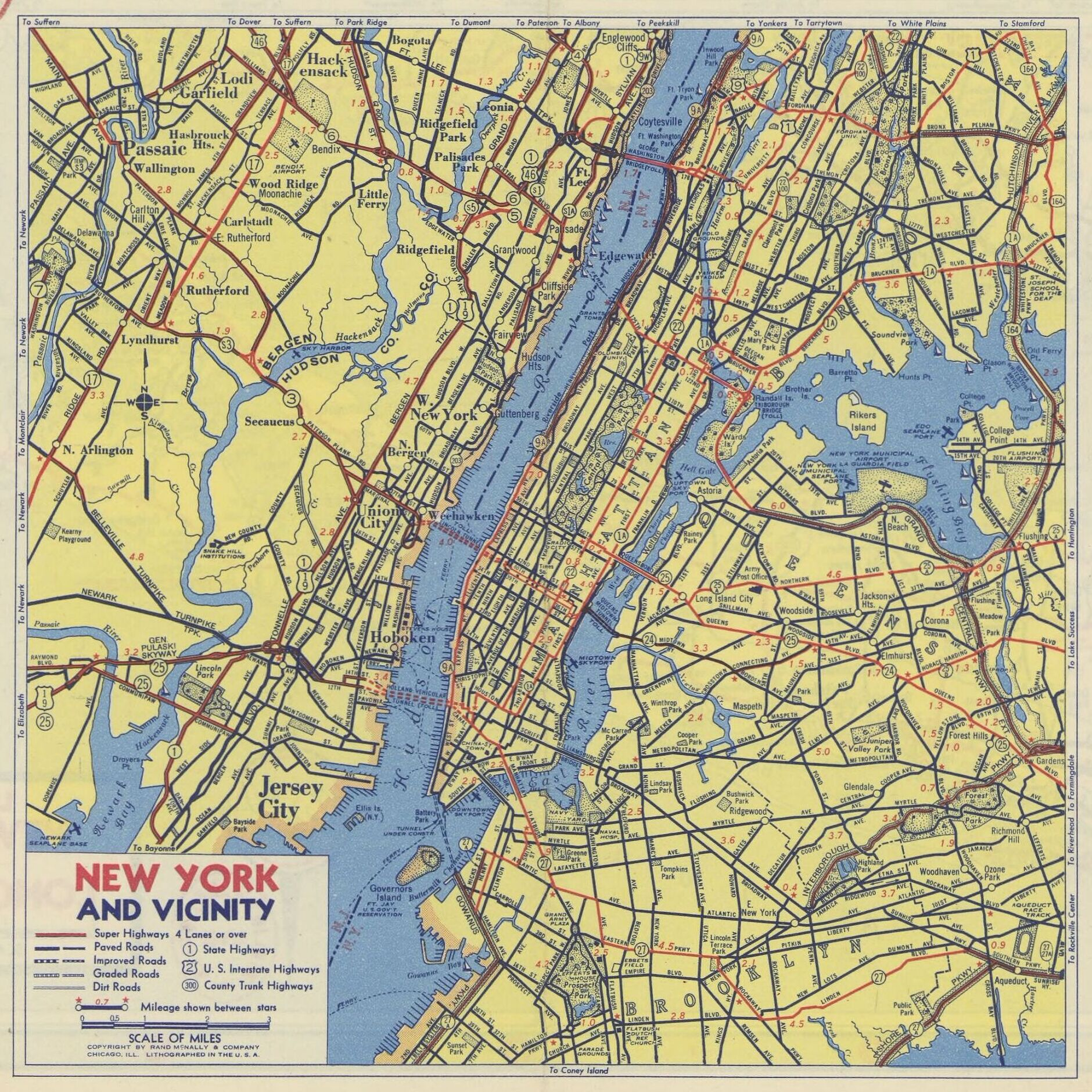
Many people turned the map to match the direction of travel, and many others insisted this was wrong.
The disagreement is about two genuinely different ways of thinking. Orienting the map to the vehicle makes left and right correspond directly; keeping north at the top preserves a consistent mental image, and people are strongly committed to one or the other.
Children almost always turned it. A beginner matches the page to the world because that is the obvious thing to do, and whether they were corrected depended entirely on who was driving.
14. Arriving Was the Navigator’s Achievement
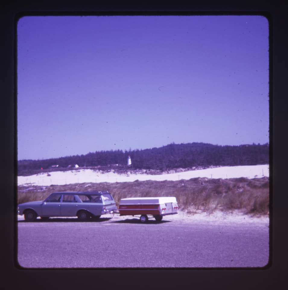
Getting there without a serious error was a performance, and the navigator knew whether it had gone well.
The accountability was unusually clear. Almost nothing a child does has a result that unambiguous – either the car arrived efficiently or it did not, and everybody in the vehicle knew which.
Praise was rare and remembered. A driver who acknowledged a good job of navigating was crediting a child with something that actually mattered, and the people who received that credit have generally not forgotten it.
15. Then the Voice in the Car Did All of It
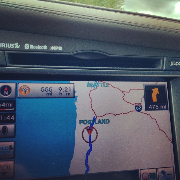
Satellite navigation removed the map, the planning, the calculation, the argument and the job in a single step.
The improvement is total and nobody seriously disputes it. The new system knows where you are, which was the hard part, and it recalculates instantly, which removes the entire category of problem the old one created.
What went was the role. One person in the car responsible for knowing where everybody was, doing arithmetic out loud under pressure, holding a sheet that would not fold, being argued with by the driver, and learning the shape of a whole region by accident while doing it. The gloveboxes are mostly empty now, and the maps that were in them have been thrown out or have fallen apart along their own creases. The few that survive are curiosities rather than tools: a sheet of paper covering a region somebody drove through once in 1968, folded wrongly, torn where the route was, and completely useless for finding anything today.
What the Navigator Was Really Doing
Read in order, the fifteen describe a role rather than an object. Anybody can follow a printed line; the difficulty was always establishing which line you were currently on, and that could only be done by inference – the last known point, the time since, the signs that had gone past. It was a continuous act of attention that collapsed the moment anybody stopped paying it, and the person doing it was frequently ten years old. They did arithmetic out loud under pressure, gave arrival times that were always wrong, were argued with by the driver, and could not prove they were right about anything. In exchange they acquired a detailed mental map of a region that no lesson has ever produced, and a feeling for distance that comes only from having worked one out yourself with your family waiting for the answer. The accountability is the other half of it, and it is unusually clean for anything handed to a child. Almost nothing a ten-year-old does produces a result that unambiguous. Either the car arrived without a serious error or it did not, everybody in the vehicle knew which, and there was no way to argue about it afterwards. Praise was rare, because the job was expected rather than admired, and it is remembered for exactly that reason: a driver who said that the navigating had been good was crediting a child with something that had actually mattered to the whole family that day.
Satellite navigation did not improve the old system; it removed the problem the old system existed to solve. Knowing where you are was the entire difficulty, and a device that simply knows makes every other part of the job unnecessary – the planning the night before, the calculation, the landmark-hunting at the side of a road, the argument. Nobody is going back. What went with it is a role that one person in every car used to hold: responsible for knowing where everybody was, working it out from evidence, holding a sheet that would not fold back, and learning the shape of a whole region by accident while doing it.
Like our content? Follow us for more.