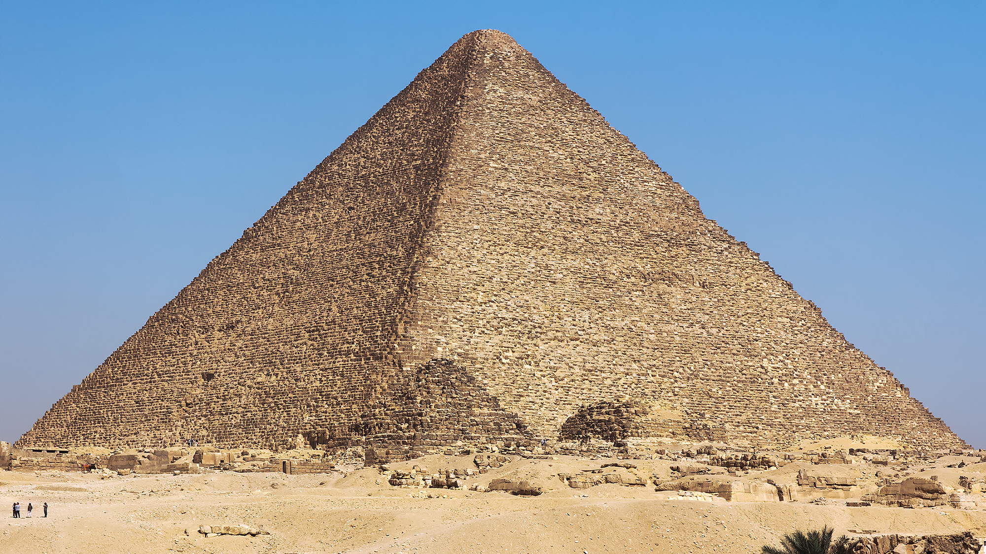
The mystery of how the pyramids were built has attracted more nonsense than almost any question in archaeology. But underneath the noise sits a real and specific engineering problem that Egyptologists have taken seriously for a very long time.
The pyramids were assembled from enormous quantities of stone. Individual blocks weigh in excess of a ton, and much of the material came from quarries hundreds of kilometers to the south. Moving that volume of rock across desert, by land, using the technology available between roughly 2700 and 1700 BCE, is close to impossible at the required scale.
Archaeologists therefore assumed, sensibly, that a waterway must have been involved, since floating heavy stone is vastly easier than dragging it. As the lead author of the 2024 study put it, the difficulty was that nobody was certain of the location, shape, size, or proximity of this waterway to the pyramid sites.
It turned out to be right there, buried under the fields, invisible from the air and from optical satellites. Here is how it was found.
Thirty-One Pyramids in a Line
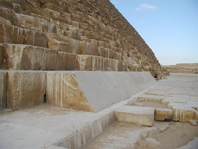
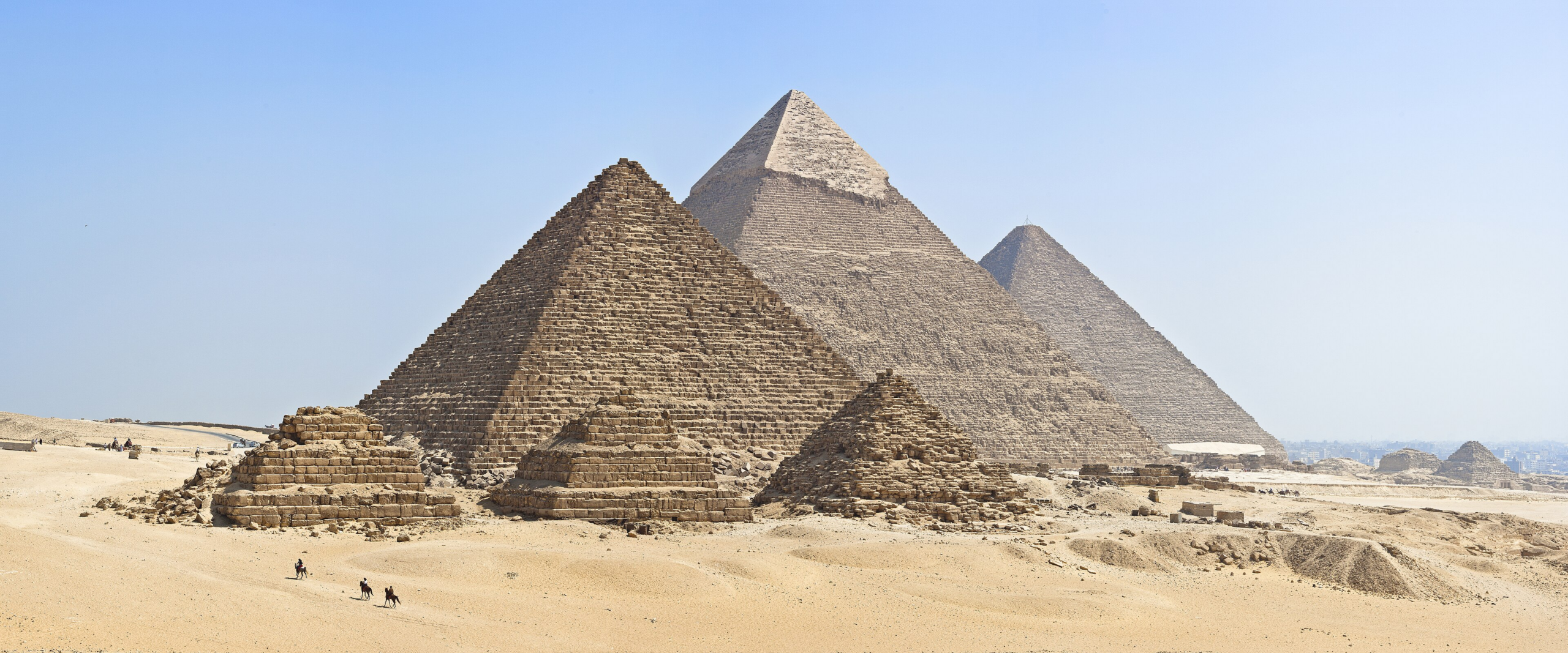
Start with the pattern that needed explaining. Between Giza and the village of Lisht, south of Cairo, there is a chain of 31 pyramids strung along a narrow strip near the edge of the Western Desert plateau. They were built across roughly a thousand years, from the Old Kingdom through the Second Intermediate Period, spanning dynasties three to thirteen.
The strip includes the Great Pyramid of Giza, the only surviving structure of the seven wonders of the ancient world, along with the Khafre and Menkaure pyramids and the Red Pyramid at Dahshur.
Their arrangement is the clue. Thirty-one major monuments, built over ten centuries by different rulers, all placed in a line along an otherwise unremarkable and now waterless desert margin. Something about that specific strip made it the right place to build, repeatedly, for a millennium.
Like our content? Follow us for more.
The Accidental Discovery
The find came out of unrelated work. Eman Ghoneim, a geomorphologist at the University of North Carolina Wilmington, was examining radar satellite data across the wider region looking for ancient rivers and lakes that might indicate new groundwater sources. She had form for this: in 2007 she had used similar methods to identify a vast buried megalake beneath the Sahara in northern Sudan.
While working through the imagery she noticed something unexpected in the Nile floodplain near the pyramid field.
The reason it had not been spotted before comes down to what different instruments can see. Optical satellites and aerial photographs record the surface, and the surface here is cultivated farmland; the old channel is completely masked by agriculture and sediment. Radar behaves differently. As Ghoneim explained, it can penetrate the sand surface and produce images of hidden features including buried rivers and ancient structures.
The team used synthetic aperture radar imagery together with high-resolution radar elevation data, then confirmed the result on the ground with geophysical surveys and deep soil coring, which recovered the river sediments directly. The findings were published in Communications Earth and Environment in May 2024.
They named the channel the Ahramat Branch, from the Arabic word for pyramids.
A River the Size of the Nile
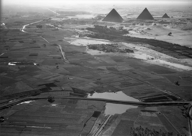
The scale of what they mapped is the striking part. The Ahramat Branch ran for about 64 kilometers, between 200 and 700 meters wide, comparable to the modern Nile, along a course between roughly 2.5 and 10 kilometers west of where the river runs today.
And its position relative to the monuments is what makes the case. The branch borders all 31 pyramids in the study area. As Ghoneim noted, the large size and extended length of the branch, together with its proximity to those pyramids, strongly suggests a functional waterway of considerable importance.
The most persuasive detail concerns the causeways. Many Egyptian pyramids have a raised ceremonial walkway running out from the monument. These causeways had always been understood as processional architecture, and they are. But the study found that they run perpendicular to the course of the Ahramat Branch and terminate directly on its former riverbank, ending at valley temples that would have functioned as river harbors.
In other words, the causeways are not just ceremonial. They are the connection between the pyramid site and a working port. The architecture had been pointing at the river all along; the river was simply gone.
What It Means for the Building Problem
The implication is straightforward and, in engineering terms, enormously significant. A navigable waterway running directly past the construction sites, connecting to valley temples serving as harbors, would allow limestone blocks, granite from the south, workers, food, and equipment to be moved by boat rather than dragged overland.
Ghoneim described the lost river to National Geographic as a superhighway for ancient Egypt, which captures the point well. The hard part of pyramid logistics was never lifting the stones at the site; it was getting millions of tons of material to the site at all. Water transport solves that.
It also explains the siting pattern. The pyramids form a chain along that particular desert strip because that is where the river ran. Build near the water, connect to it with a causeway and a harbor, and the supply problem becomes manageable.
Two caveats are worth stating. The study establishes the existence, scale, and position of the branch, and the strong association with the causeways; it makes the transport role highly plausible rather than directly proven, since nobody has excavated a Fourth Dynasty barge loaded with blocks. And this is one piece of a larger construction picture that also involves ramps, sledges, work-gang organization, and quarrying techniques, all of which remain areas of active research.
What the Cores Confirmed
Radar produces an image, and an image needs verifying. The most persuasive part of the study is the least visually striking.
The team drilled deep soil cores into the floodplain along the mapped course and examined what came up. Buried river channels leave a characteristic sedimentary signature: well-sorted sands and gravels laid down by moving water, quite unlike the surrounding silts of an agricultural floodplain.
The cores found exactly that, at the depths and positions the radar predicted. Geophysical survey work on the ground added a further independent line of evidence about subsurface structure.
That combination is what moves the finding from an interesting anomaly in satellite imagery to an established feature. Radar located it; the sediment proved it was a river.
Why Nobody Had Found It
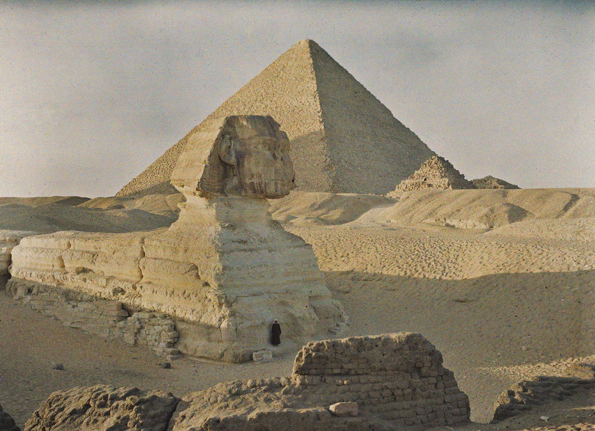
It is reasonable to ask how a river the width of the Nile, running past the most studied monuments on Earth, went unnoticed until 2024.
Part of the answer is that it was not entirely unnoticed. Egyptologists had long inferred that water transport must have been involved, and there had been proposals about ancient channels. What was missing was the location, the dimensions, and the evidence.
The rest of the answer is about what different tools can see. The Nile floodplain is intensively farmed and has been for millennia, and agriculture is remarkably effective at erasing surface traces. Sediment has accumulated on top. Optical imagery, whether from aircraft or satellites, records that surface and nothing beneath it.
Radar, by contrast, penetrates dry sand and sediment to a useful depth and responds to differences in subsurface material, which is why a buried channel shows up as a coherent feature in radar data while remaining invisible in a photograph.
There is also the matter of who was looking. The find came from a geomorphologist studying landforms and groundwater, using a technique from earth science, applied to a region normally examined by archaeologists. The pattern recurs often enough to be worth noting: some of the more striking archaeological results of recent years have come from instruments and specialists imported from other fields entirely.
Where the River Went
The final question is what happened to a waterway that size, and the answer connects to a much broader story about the region’s climate.
The branch was progressively covered by windblown sand and silt. Researchers suggest the process may have begun with a major drought around 4,200 years ago, an episode that appears in climate records across the eastern Mediterranean and Near East. Over time the river migrated eastward to its present course and the old channel filled in, until the strip that had been a riverbank became desert edge and farmland.
That is why the pyramids look so strangely placed today. We are seeing the monuments without the landscape that made sense of them, like a row of docks with the sea drained away.
There is something satisfying about the shape of this discovery. A problem that has attracted centuries of speculation, including a good deal of the extraterrestrial variety, turns out to have a mundane and entirely human answer: the builders put the monuments next to a river, used the river, and then the river moved. The evidence was under the fields the whole time, waiting for an instrument that could see through sand, deployed by someone who was looking for something else.
Like our content? Follow us for more.