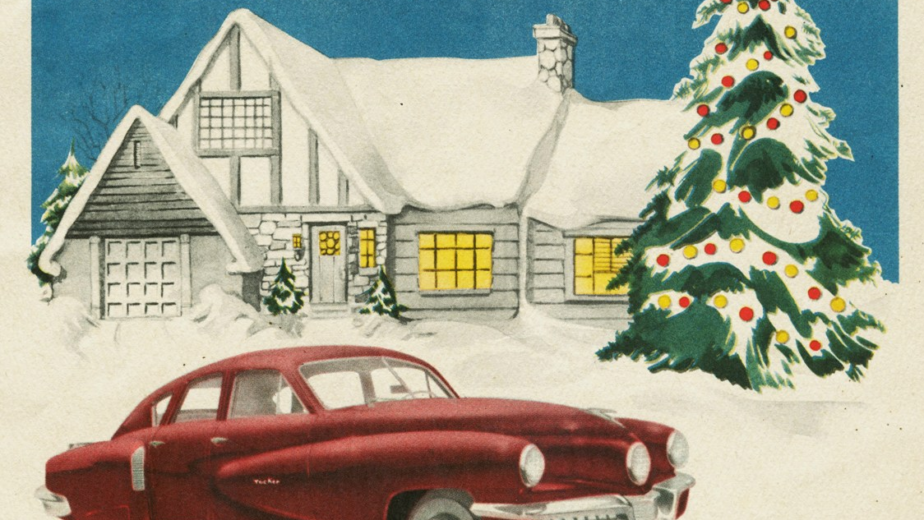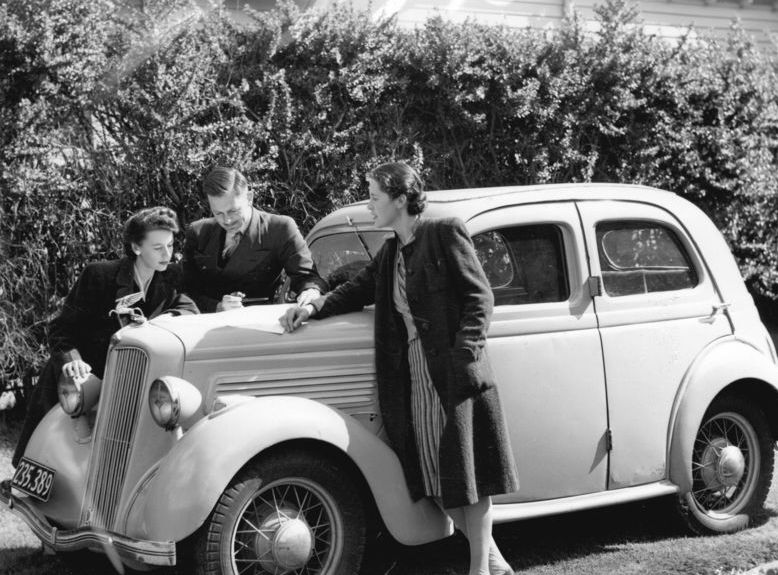
In 1974 a road trip had to be built before it could be driven. You wrote to a motoring club a month ahead and a person at a desk assembled a custom turn-by-turn routing for your specific journey and posted it to you.
The atlas lived in the car and went soft at the folds. Somebody wrote the turns out as a numbered list and read them aloud. Local directions came as water towers and churches rather than street names. And you could not find out about a closed bridge until you reached it.
Here are fifteen things every American family did to plan a road trip in 1974, and what replaced each one.
1. The Route Was Planned Weeks Ahead on Paper and Posted to You
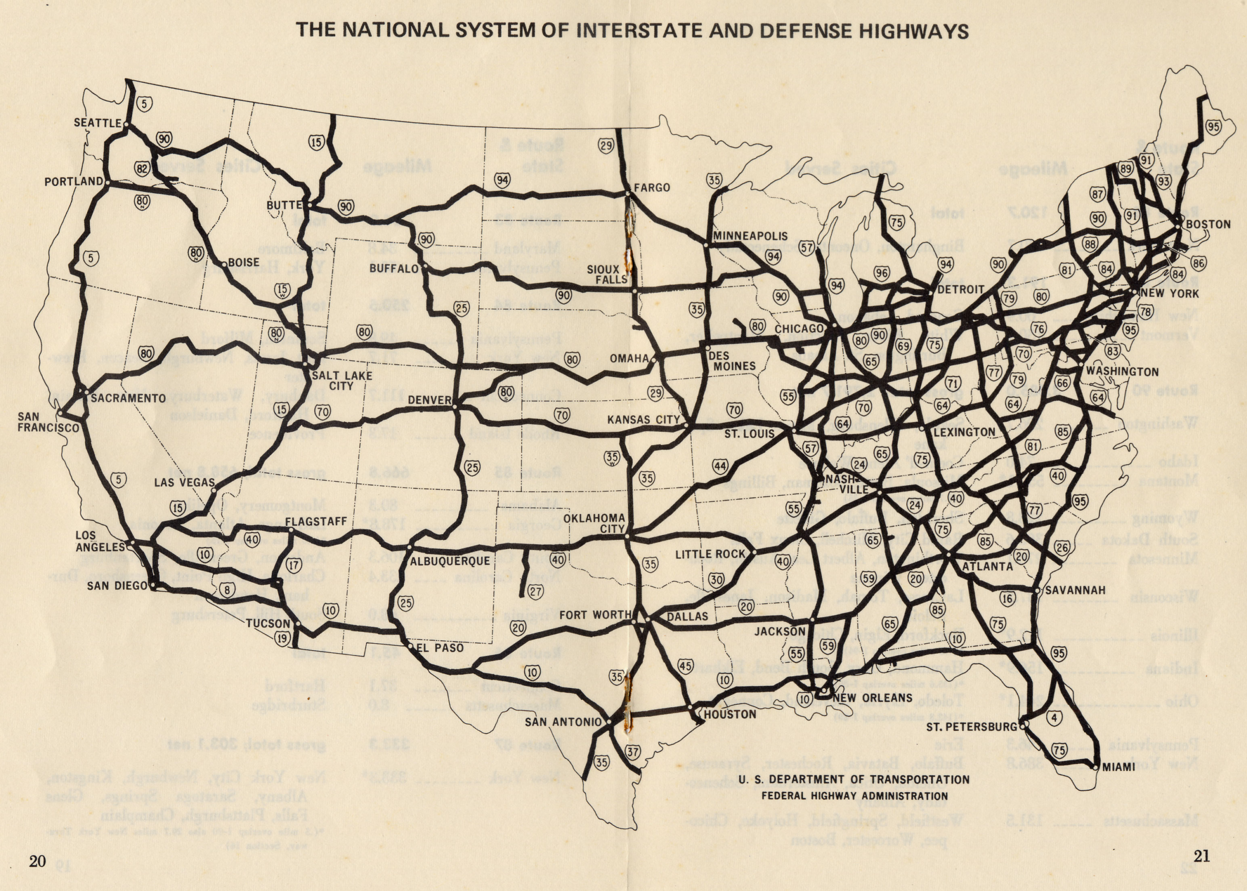
Motoring clubs produced custom routings on request – a spiral-bound set of narrow strip maps covering your specific journey turn by turn, prepared by a member of staff and mailed out, which took a fortnight.
An instant route on a phone, recalculated continuously. The custom routing was a genuine service performed by a person who drew a line on a map for one particular family’s trip.
The fortnight is the detail that lands. You decided where you were going a month before you went, somebody at a desk assembled the strips in order, and the package arriving in the post was the start of the holiday – which also meant the route was fixed before you had seen any of it.
Like our content? Follow us for more.
2. The Road Atlas Lived in the Car and Was Replaced Every Few Years
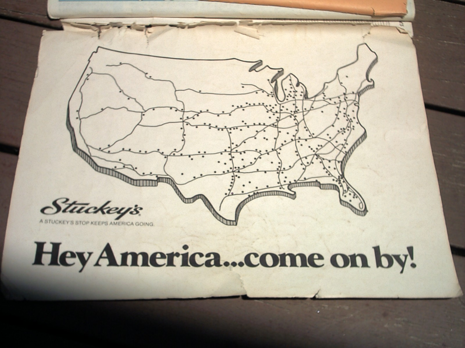
A large-format paper atlas, one page per state, with an index of place names and a mileage chart, was standard equipment that stayed in the car permanently and went soft at the folds.
An application with current data, satellite imagery and live conditions. The atlas was accurate on the day it was printed and progressively less so afterwards, and nobody replaced it often.
Which caused real problems that people simply absorbed. New interchanges were missing, renumbered routes were wrong, and a four-year-old atlas would send you confidently to a junction that had been rebuilt – and the only way to find out was to arrive there.
3. Folding the Map Back Up Correctly Was a Recognised Skill
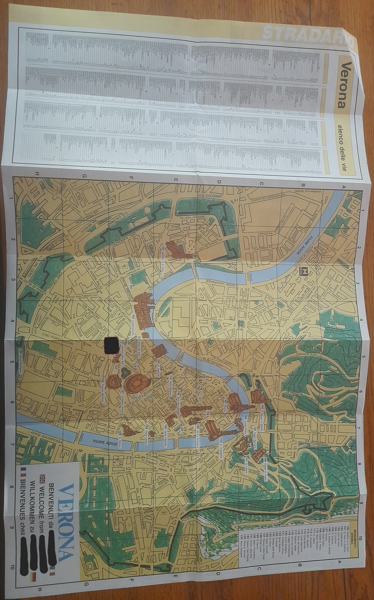
Full-size road maps folded along fixed creases into a shape that fitted a glovebox, and getting it back into that shape in a moving car, in the wind, was difficult enough to be a running family joke.
Nothing – the problem does not exist. The folded paper map is probably the single most universally remembered object of pre-satellite travel, and the reason is the folding.
The maps did not survive it, which is the real point. Repeated refolding wore the creases through until the map parted along them, the most-used corner went first, and a map used for one long trip came back with the relevant section held together by tape or missing altogether.
4. Somebody Wrote the Turns Out as a List and Read Them Aloud

The driver’s companion wrote the route as a numbered sequence of instructions on a notepad or an envelope – route numbers, junction names, distances between turns – and read them out in sequence.
Spoken turn-by-turn directions generated automatically and timed to the vehicle’s position. The handwritten list was prepared the night before and read by a person watching for the next sign.
It made navigation a job somebody held, with status and blame attached. The navigator was responsible for the route, got credit for a clean run and carried the fault for a missed exit, and the front-seat argument about whether a turn had been called in time is one of the defining sounds of American family travel.
5. Directions Were Given in Landmarks, Not Street Names
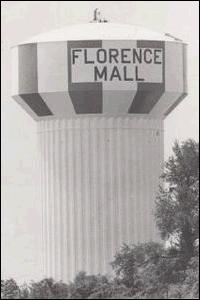
Local directions came as a sequence of visible things – a water tower, a church, a feed store, a bridge, the second light after the railway – rather than as named streets and distances.
Street names, numbered distances and a map that shows your position. Landmark directions worked well locally and failed completely for anybody who had never been there.
They failed in a specific way that everybody experienced at least once. The landmark had been demolished, repainted or rebuilt, or it was only obvious to somebody who already knew, and a set of directions that was perfectly clear to the person giving them became useless two turns in – with no way to go back and ask again.
6. You Could Not Find Out About Construction Until You Reached It
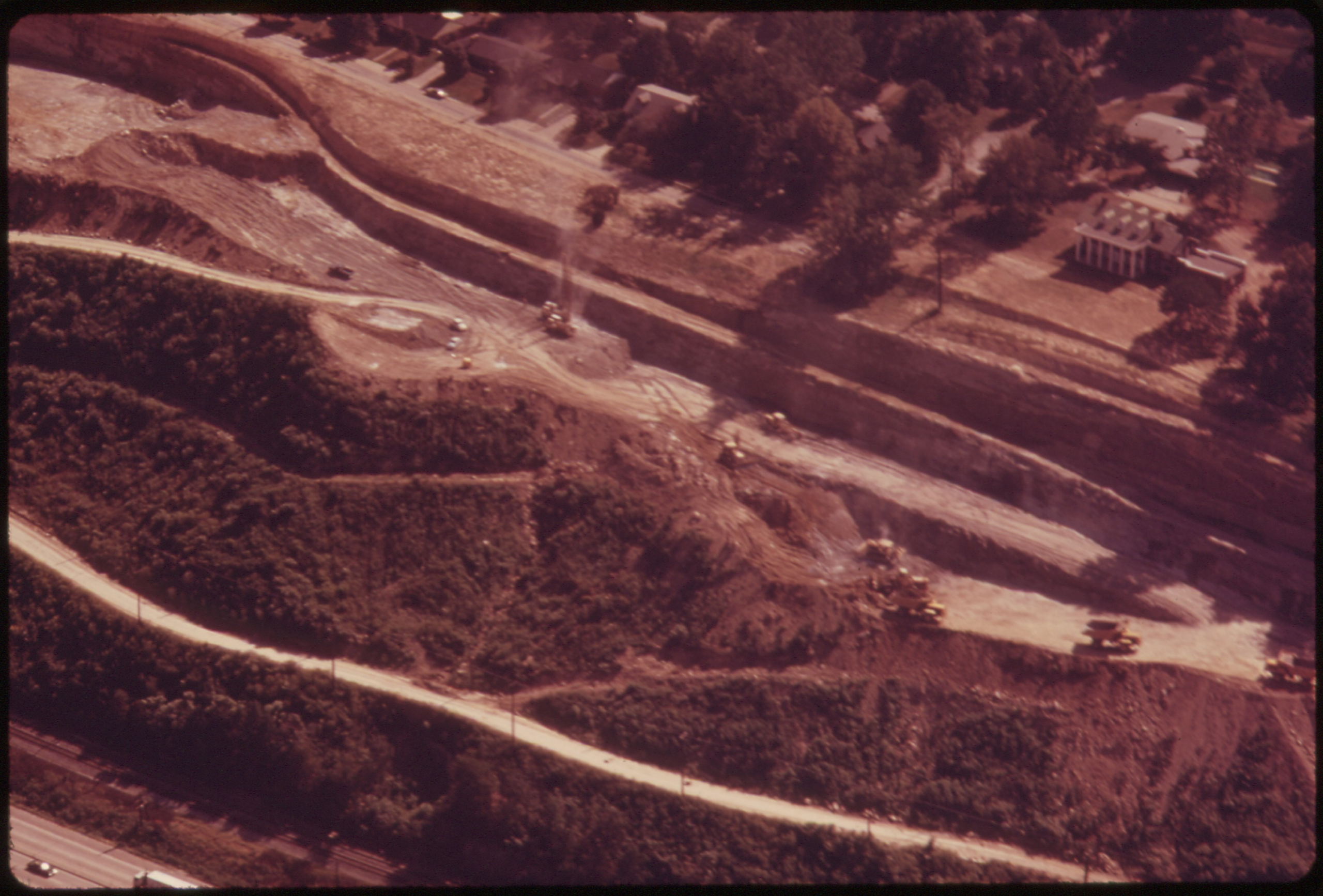
Road closures, bridge work, detours and seasonal closures were unknowable in advance. You met them, read the sign, and worked out an alternative from the atlas at the roadside.
Live traffic data, closure reporting and automatic rerouting before you get near it. The detour was an improvisation performed with a paper map on the shoulder of a highway.
A single detour could cost half a day and change the whole trip. A closed bridge in a rural county with no obvious alternative meant a long backtrack to the last place the atlas showed a crossing, and families arrived at destinations hours late having been entirely unable to warn anybody.
7. Mileage and Timing Were Worked Out by Hand From a Chart
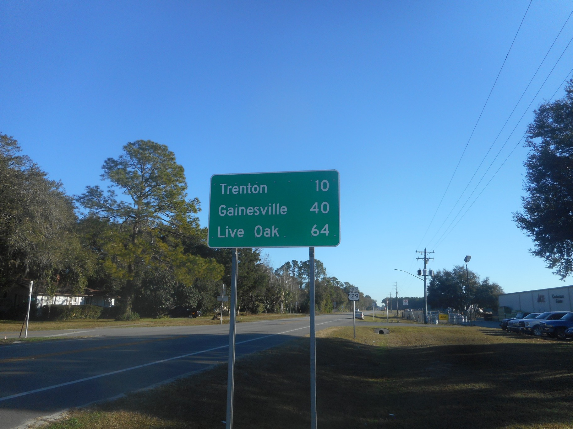
Planning a day’s driving meant reading distances off the atlas mileage chart, adding them up, dividing by an assumed average speed, and estimating arrival times with a pencil.
Automatic arrival estimates that account for actual speeds, conditions and stops, updated continuously. The pencil calculation used a flat assumed average and was consistently optimistic.
The optimism was structural and every family learned it the hard way. The chart gave highway distances, the assumed average ignored towns, stops, meals, children and getting lost, and the arrival time written on the envelope at the kitchen table was routinely two or three hours out – which is why so many of these trips ended with the last stretch driven in the dark.
8. Asking a Stranger Was the Fallback and People Were Good at It
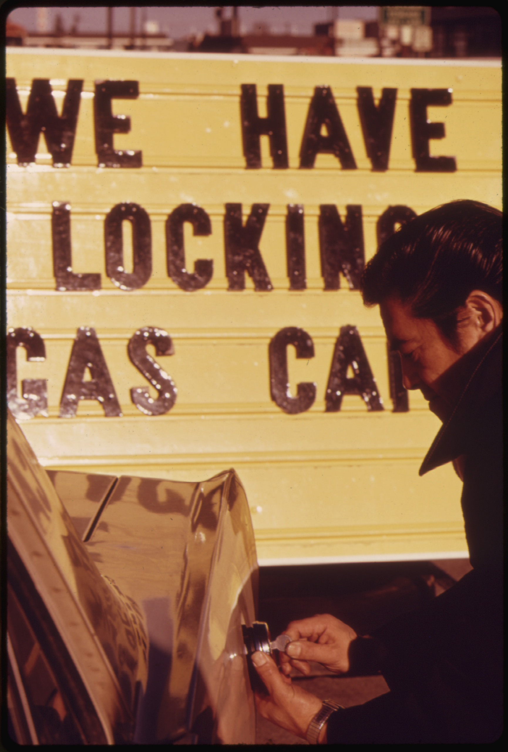
When the route failed you stopped and asked – at a counter, a shop, a farmhouse, a diner – and the person asked usually gave a competent set of directions from memory.
A device that already knows. The exchange is gone, and with it a small routine piece of contact between travellers and the people who lived on the route.
The skill on both sides was real and has atrophied. People who lived in a place could describe a twenty-mile route accurately from memory in under a minute, travellers learned to ask two people and compare, and the convention that you asked at a counter rather than flagging someone down was understood by everybody.
9. There Was No Way to Telephone Ahead Without It Costing Something
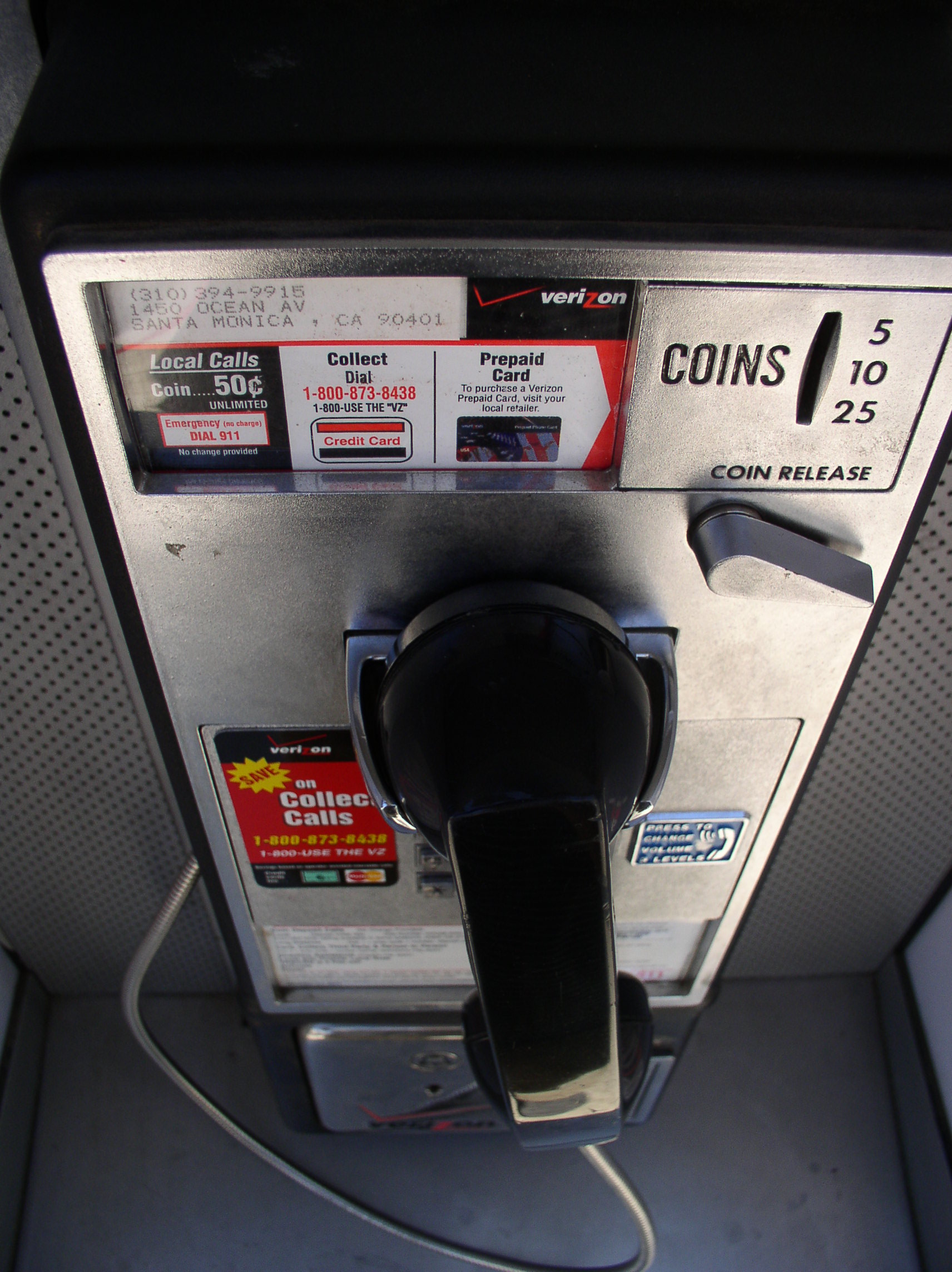
Long-distance calls were charged by the minute at rates that made them a considered expense, placed from a coin box at the roadside, frequently reversed to the person being called.
Included calls, messaging and live location sharing. Telephoning ahead on a trip was a deliberate act with a cost attached, planned into the day rather than done casually.
Which is why families went genuinely uncontactable for days. A call home was made at an arranged time from an arranged place, one short conversation stood in for everything, and relatives at home had no information about where a car was for stretches of forty-eight hours or more – and treated that as unremarkable.
10. Nothing Was Booked, Because There Was Nothing to Book Through
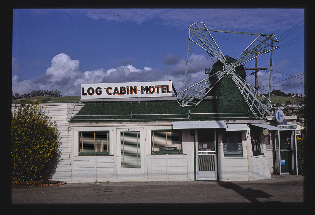
Independent roadside lodging and small-town restaurants had no central reservation system a traveller could reach, so you drove until the time felt right and then asked.
Online booking with photographs, prices, reviews and instant confirmation for almost everything. The absence of any booking channel meant the day’s distance was decided while driving it.
This is why the trips feel improvised in retrospect – because they were. You could not know whether anywhere had room until you got there, which meant the decision about when to stop was a real gamble, and on a holiday weekend in a popular area that gamble was sometimes lost.
11. You Had No Idea What Anywhere Looked Like Before You Arrived
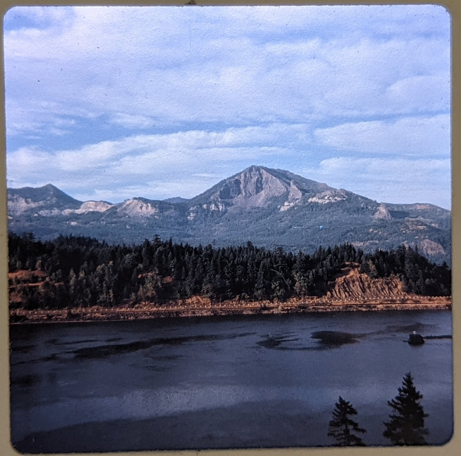
Beyond a postcard rack or a magazine photograph, there was no way to see a destination in advance – no imagery, no reviews, no accounts from other travellers.
Photographs, video, satellite views, street-level imagery and thousands of reviews for essentially everywhere. The information asymmetry was total and ran entirely in favour of whoever was selling.
The loss and the gain are both genuine, which is why the argument never settles. You arrived somewhere with no expectations and the place landed on you whole, which cannot be replicated – and you also had no warning about the places that were not worth the detour, and a great many of those detours were made.
12. Photographs Were Rationed Because Film Cost Money
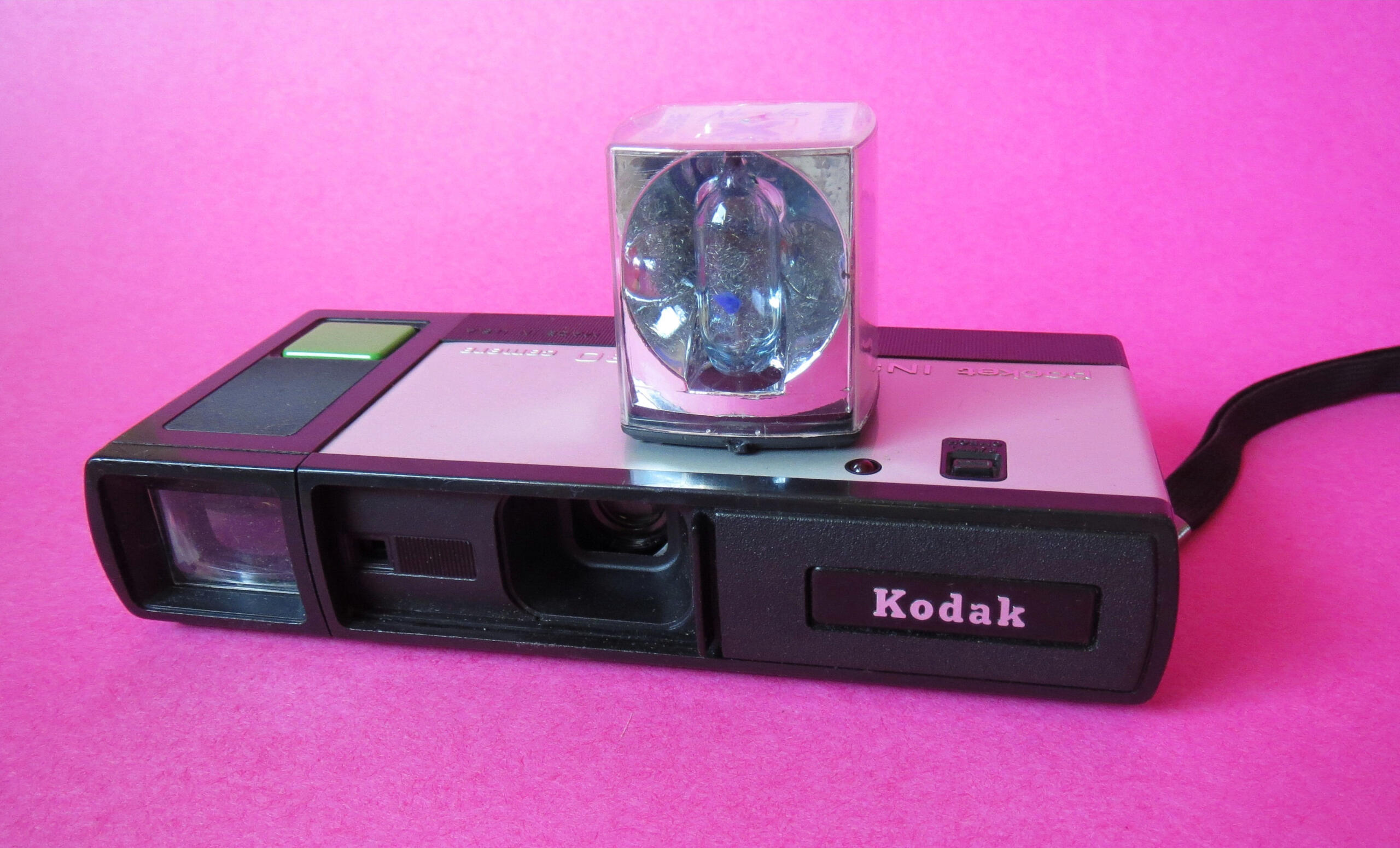
A trip was documented on a small number of rolls – perhaps two or three dozen frames each – bought in advance, with the results unseen until the film was processed after you got home.
Unlimited photography reviewed instantly. The frame count was a hard budget that shaped what got photographed and what did not.
It forced a kind of editing that nobody does now. You did not photograph a meal, a road sign or a parking lot, you waited for the thing worth a frame, and a two-week trip produced perhaps sixty pictures – all of which were looked at, more than once, by everybody.
13. The Radio Changed Every Eighty Miles and That Was the Soundtrack
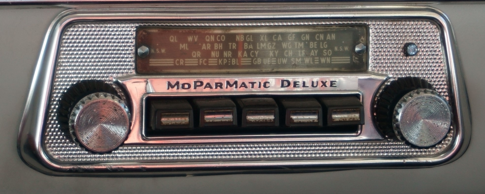
Reception was local. Stations faded in and out across a day’s drive, retuning was constant, and what you heard was determined entirely by where you happened to be.
The same playlists and podcasts everywhere, by satellite and cellular. Local radio was the only audio available to most cars and it changed with the geography.
Which made the journey audible in a way it no longer is. You heard local advertising, local news, local weather and regional music you would not otherwise encounter, the signal fading as you left one place and another arriving as you entered the next – and people who drove long distances in that era describe the retuning as how they knew they were getting somewhere.
14. Getting Lost Was Normal and There Was No Remedy But Going Back
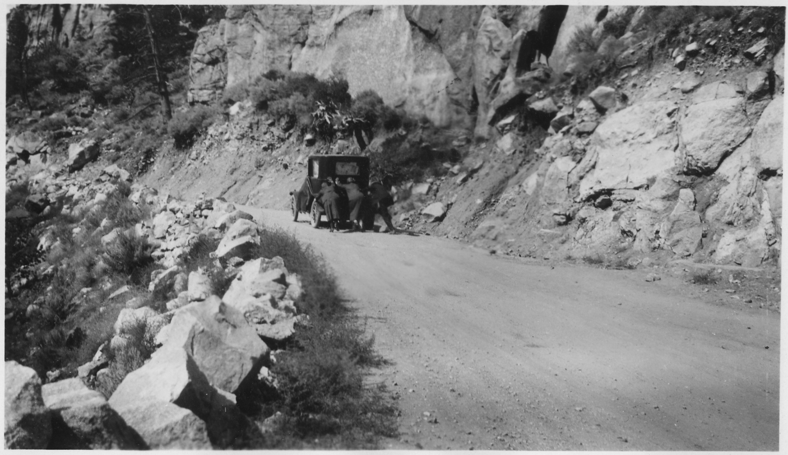
Without position information, a wrong turn was undetectable until something failed to match the map, by which point you might be twenty miles down an unintended road.
Immediate off-route detection and automatic recalculation. Being lost was a routine condition of long-distance travel rather than an unusual failure.
The only remedy was retracing, and the cost of that is what generated the arguments. Nobody wanted to concede that the last half hour had been wrong, the discussion about whether to turn around or press on was conducted at speed with a map on somebody’s knees, and the decision to press on was very often the wrong one.
15. Then Satellite Navigation Removed the Preparation and the Argument
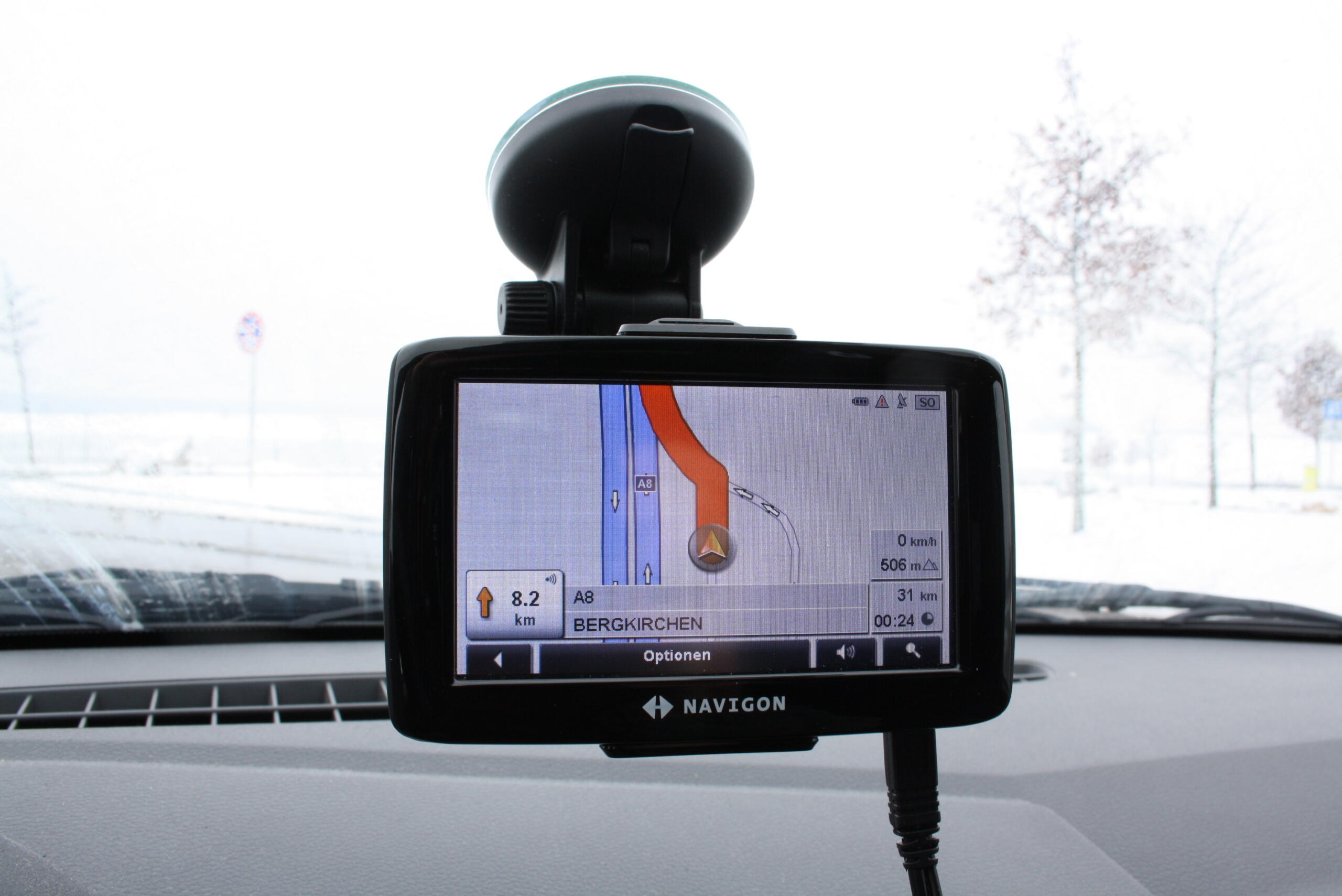
The whole thing rested on preparing in advance – the posted routing, the atlas, the written list of turns, the mileage arithmetic – and on improvising when the preparation failed.
Consumer satellite navigation from the 1990s, then smartphones, which collapsed routing, live conditions, booking, imagery and reviews into one device that also knows exactly where you are.
The gains are not in dispute and should not be minimised: fewer hours lost, fewer wrong roads, no dark arrivals, and the end of the front-seat argument about a missed exit. What went with it was the preparation itself – the month of anticipation while the routing came in the post, the atlas on the kitchen table, the list written the night before – and the particular quality of a journey nobody could look up in advance. The trip got easier and considerably shorter. It also stopped being something you had to build first.
The Preparation Was Most of the Holiday
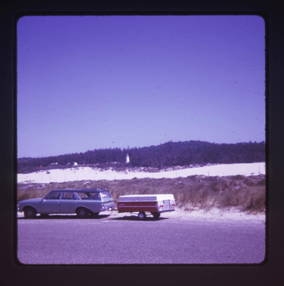
Set the convenience argument aside for a moment, because it is not really in dispute. Satellite navigation and a phone removed a large amount of lost time, wrong roads, roadside arithmetic and bad temper from long-distance travel, and anybody who claims otherwise has forgotten what a closed bridge in a rural county actually cost.
The interesting change is structural, and it is this: the trip used to require construction, and now it does not.
Look at what preparation consisted of. You decided your destination a month ahead, because the custom routing took a fortnight to arrive by post. The atlas came out onto the kitchen table and distances were added up with a pencil against a mileage chart. Somebody wrote the turns out as a numbered list the night before. Film was bought in advance, in a quantity that fixed how many photographs the whole trip would produce.
All of that happened before anybody got in the car, and all of it is gone – not shortened, but abolished. A journey is now decided and routed in the time it takes to type a place name.
Which means the anticipation went with it. The month of waiting while the routing came in the post was part of the holiday, arguably the most reliable part, and the envelope arriving was an event. You cannot anticipate something you can have immediately.
And the improvisation went too. Every item on this list that now sounds like a hardship – the detour met at the sign, the landmark that had been demolished, the stranger asked at a counter, the gamble about when to stop – was a situation that required the family in the car to work something out together. The trip contained problems, and solving them was what people remember about it.
The honest accounting runs both ways. Nobody should want the dark arrivals, the forty-eight hours uncontactable, the half-days lost to a closed crossing, or the argument conducted at speed with a map on somebody’s knees. Those were real costs paid by real families.
But the thing that replaced them did not just remove the friction. It removed the preparation, the anticipation and the improvisation along with it, because all four were the same thing seen from different angles.
The journey got shorter and easier, and it stopped being something you had to build.
If you travelled like this, somebody in your family was the navigator, and everybody knew who it was.
And the map came home held together with tape, torn along the crease where you needed it most.
Like our content? Follow us for more.