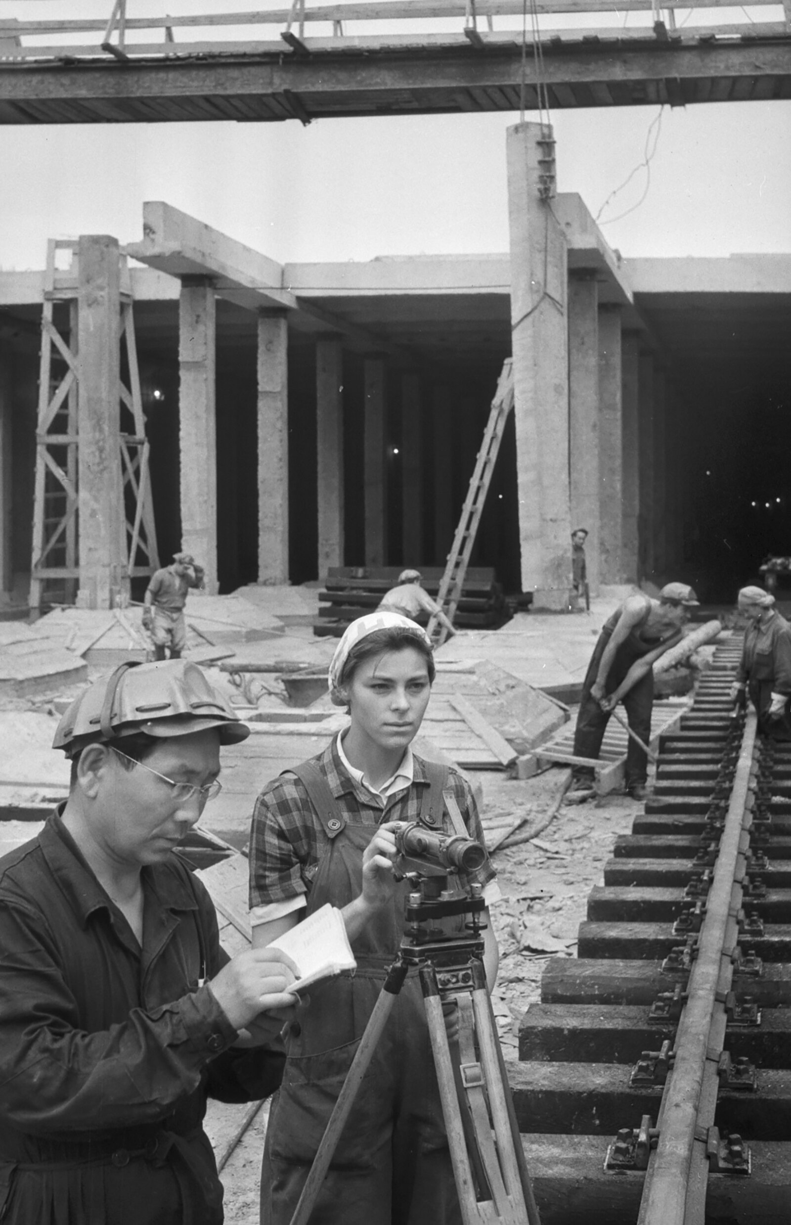
In 1960 measuring a distance meant two people dragging a steel band across the ground and correcting the result for temperature, sag and slope. Measuring a height meant walking the line twice to prove it closed. Fixing a position meant working outwards from a mark cut into a wall by somebody in the previous century.
Everything was written in pencil, in one book, and there was no second copy.
Here are eleven things that were ordinary for a land surveyor in 1960, and what happened to each of them.
1. The Measuring Was Done With a Steel Band Dragged Across the Ground
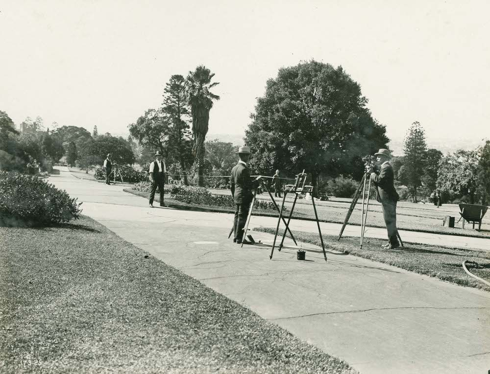
Distances were measured by laying a steel band along the ground between marked points, in lengths, with corrections applied for temperature, for the sag of the band between supports and for the slope of the ground.
Electronic distance measurement – timing a light or microwave signal to a reflector – arrived in the 1960s and had replaced the band almost entirely within twenty years. A measurement that took two men an hour and three corrections now takes one person a few seconds and needs none of them. The physical skill of laying a band straight and at constant tension was real and is gone.
Like our content? Follow us for more.
2. Two People Were Needed and One of Them Just Held Things
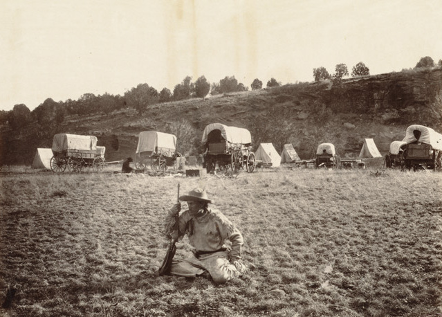
Survey work came in pairs. One read the instrument, the other stood at the far point holding a staff or a pole, moved where he was waved to, and spent the day walking between positions.
Robotic instruments that track a target automatically, and satellite positioning that needs nobody at the far end at all, turned a two-person operation into a one-person one. The chainman’s job – and it was frequently a young person’s first job, learned entirely by doing it – does not exist. It was also how the trade was taught, which is the part that was harder to replace.
3. Everything Was Written in Pencil in a Field Book and the Field Book Was Irreplaceable
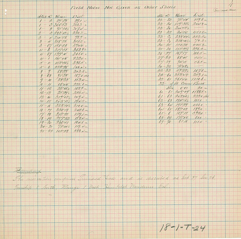
Observations went into a hardbound field book in pencil, in a prescribed layout, with the arithmetic done on the page. There was one copy. Losing the book meant doing the survey again.
Data loggers, then instruments that record internally, then direct upload from the field removed the single point of failure. Old field books survive in archives and are genuinely useful, because they record what was on the ground on a particular day in handwriting that can be dated – which is more than can be said for a file on a dead hard drive.
4. The Arithmetic Was Done by Hand and It Took Longer Than the Fieldwork
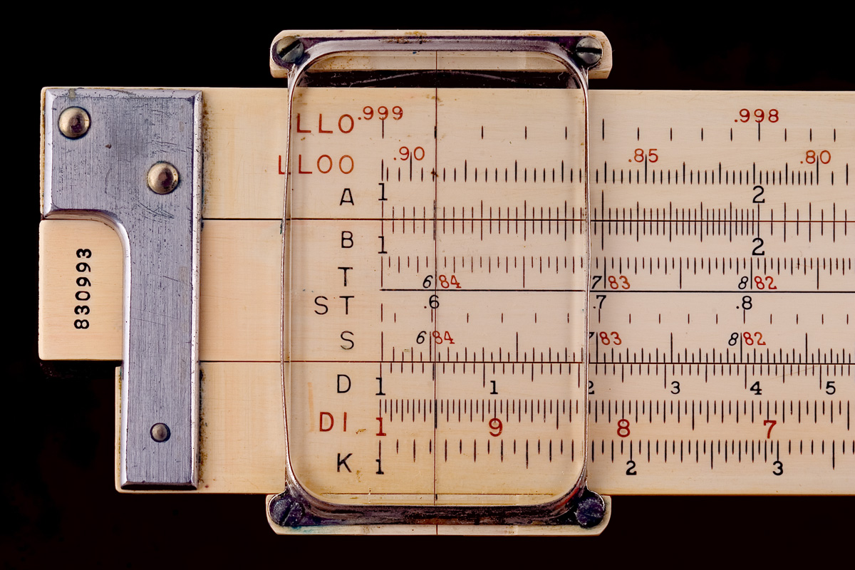
Reducing a survey – converting angles and distances into coordinates – meant trigonometric tables, logarithms and long columns of figures, checked twice. A day in the field produced several days at a desk.
Calculators, then computers, then instruments that compute as they observe collapsed that. The checking culture it produced was its real legacy: everything booked twice, every closure verified, every figure independently recomputed. That habit transferred to the software era and is the reason survey data is still among the better-disciplined numerical records anybody keeps.
5. A Great Deal of the Work Was Walking Onto Other People’s Land
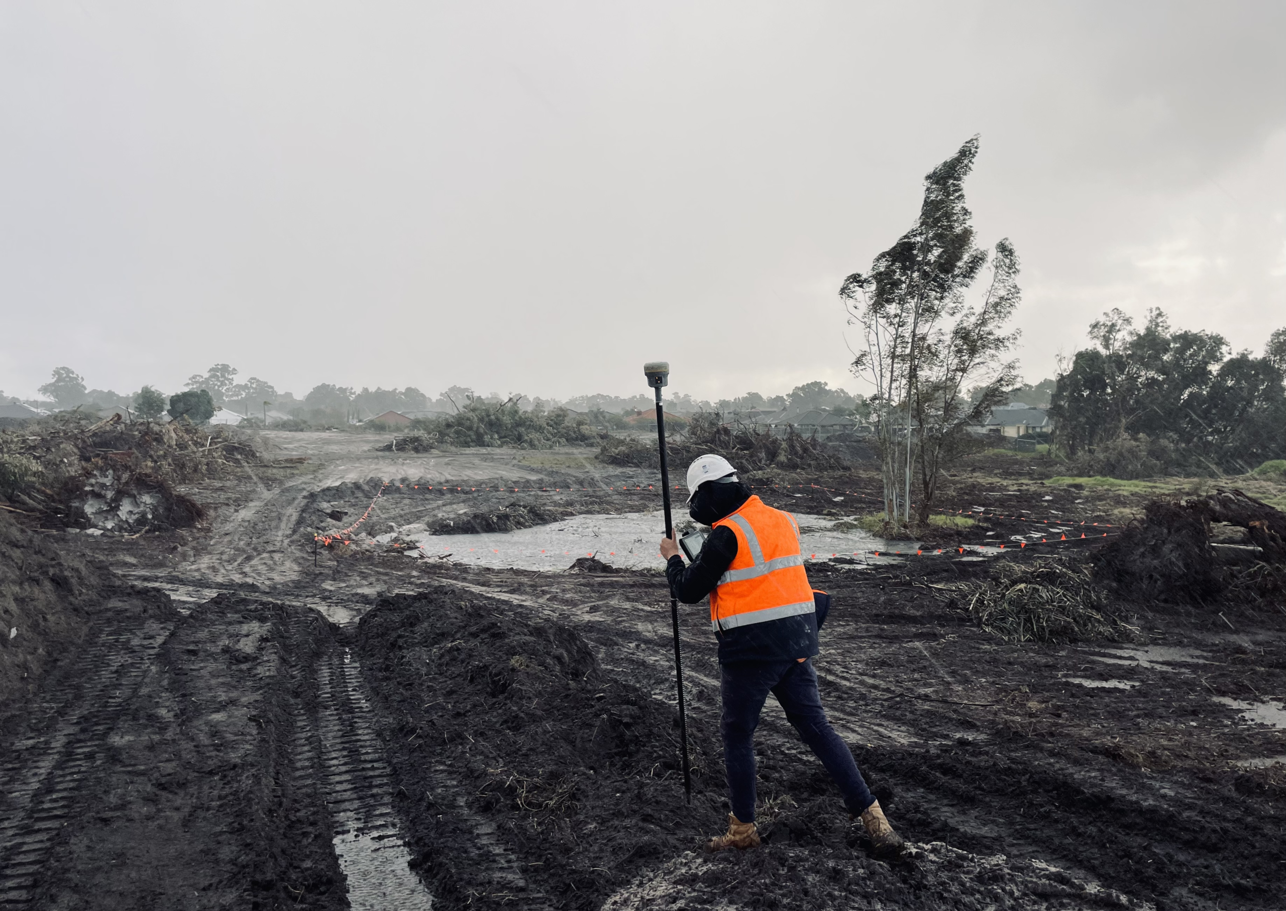
Surveyors went where the survey went – across fields, through yards, over walls – and dealt with the occupier when they met him. The relationship ranged from tea to dogs to being run off.
Statutory powers of entry for certain surveys, notice requirements, and in a great many cases aerial and satellite imagery that removes the need to be there, have changed this entirely. Boundary disputes still put a surveyor on contested ground in person, and that is still the least comfortable part of the job.
6. The Instrument Was Brass, Heavy and Carried Everywhere by Hand
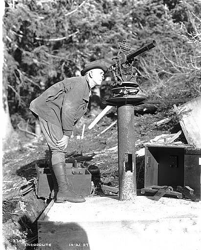
A theodolite in a wooden case, a tripod, a staff, poles, bands and a bag of pegs made a load that two people carried up a hill. The instrument was worth a good deal of money and was treated accordingly.
Instruments are now a fraction of the weight, far more capable and, importantly, no longer the most valuable thing on site. The care taken with an optical instrument – never set down, never left, cleaned and cased every evening – was proportionate to what it cost and how long replacement took.
7. Levelling Across a Site Meant Walking It Twice
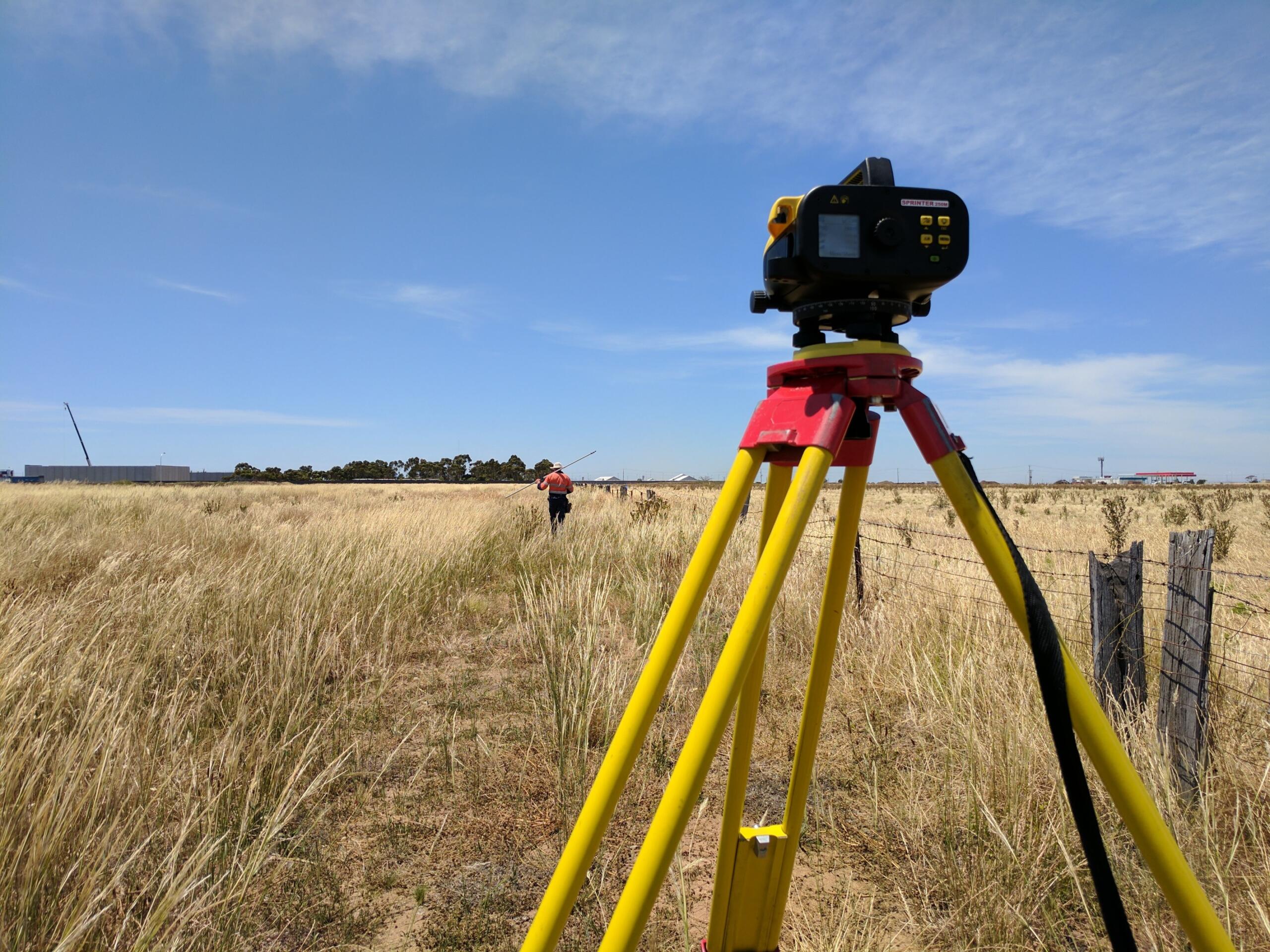
Establishing heights meant setting up an instrument, reading a staff fore and back, moving forward, and repeating – then running the whole line in reverse to prove the result closed on itself.
Automatic and digital levels and, for most purposes, satellite height determination have made this far quicker, though precise levelling is still done essentially this way because nothing else matches it for accuracy over short distances. It is one of the few 1960 field techniques that survives in near-original form, which is a genuine compliment to it.
8. Height Was Fixed Against Marks Cut Into Walls Across the Whole Country
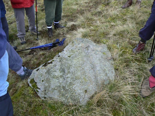
Heights referred to bench marks – arrows and horizontal bars cut into church walls, bridges, milestones and kerbs, tens of thousands of them, each with a published value. Finding the nearest one was the first task on any job.
Those marks are no longer maintained, and heights now come from a satellite-based model instead. The marks themselves are still on the walls in enormous numbers, unremarked, and most people have looked straight past hundreds of them. They are the most widespread piece of surviving survey infrastructure and almost nobody knows what they are.
9. The National Framework Was Pillars on Hilltops and Men Camped Beside Them
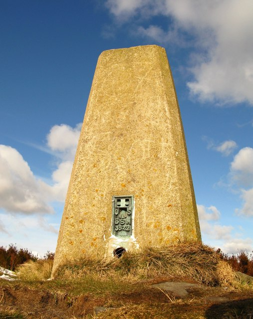
The concrete pillars on summits were observation stations for the national framework, and establishing them meant teams carrying instruments up hills and waiting, frequently for weeks, for the visibility to observe to the next one.
Satellite positioning made the whole observational framework redundant as a working tool, and the pillars were decommissioned. They have been adopted as walkers’ landmarks and a good many are now informally maintained by the people who visit them, which is an unusually happy ending for obsolete infrastructure.
10. Plans Were Drawn by Hand in Ink and a Mistake Meant Starting Again
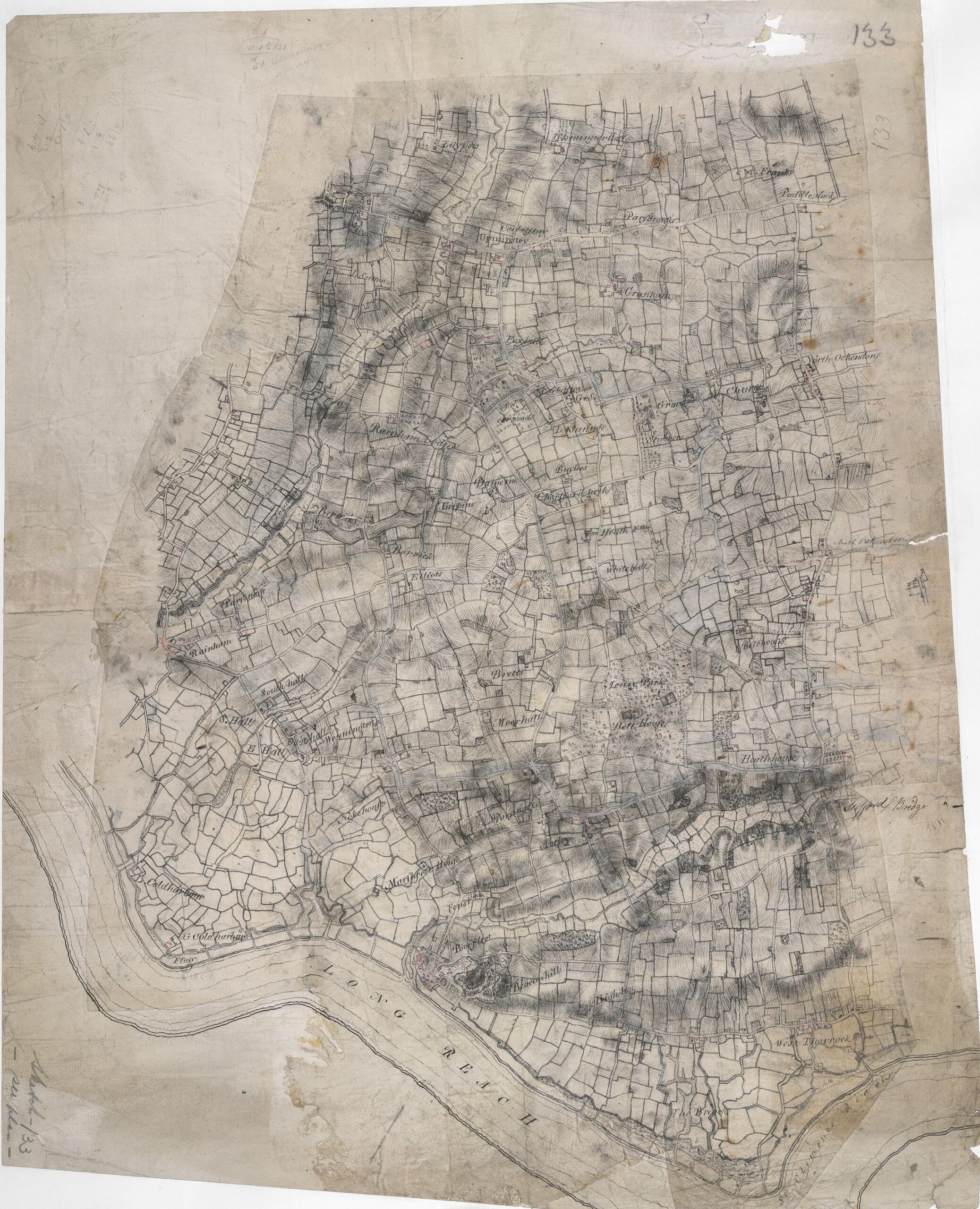
The output was a drawing – plotted by hand, inked, lettered by hand, on linen or film, with scale and north point drawn. Corrections were scraped off with a blade.
Computer-aided drafting replaced it completely. The drawings that survive are better looking than anything produced now and far less useful, because they cannot be queried, recombined or corrected. The lettering in particular was a taught skill with its own conventions and tools, and it vanished within about a decade.
11. Nobody Thought the Position Would Come Out of the Sky
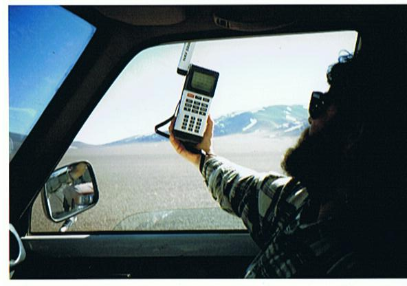
In 1960 fixing a position meant working outwards from a known point by measurement. The idea that an instrument could determine where it was by itself, anywhere, to within a few centimetres, was not part of the trade’s imagination.
It is now the ordinary case, and the same technology is in every phone. The trade absorbed this better than most – surveyors adopted satellite positioning early and enthusiastically, because accuracy was always the point and the new method was simply more accurate. What changed was the number of people needed, which fell sharply, and the apprenticeship route that the chainman’s job used to provide.
The Marks Are Still on the Walls
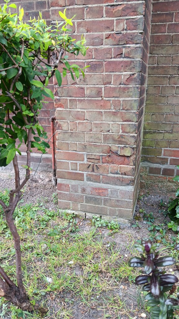
The detail from this list worth going outside for is the bench marks.
For roughly a century and a half, heights across the country were defined by physical marks cut into permanent structures – an arrow with a horizontal bar above it, a few inches across, chiselled into a church buttress, a bridge abutment, a milestone, a boundary wall, the plinth of a public building. Each one had a published height. A surveyor starting a job found the nearest one, levelled from it, and every height on the resulting drawing traced back to that mark.
There were tens of thousands of them. They were put there by people walking the country with instruments and chisels, and the network they formed was the physical definition of height for everything built during that period.
They are no longer maintained and no longer used. Heights come from satellites and a gravity model now, which is more accurate and requires nobody to walk anywhere. But the marks were cut into stone, and stone is patient, so the overwhelming majority of them are exactly where they were left.
Which means there is almost certainly one within a short walk of wherever you are reading this – on the church, on the bridge, low down on a wall where you would not look. Once you know the shape you cannot stop seeing them.
If you did this work, you will know the weight of the instrument case and the walk back to the van.
And if you have found a bench mark on a wall near you, that arrow was cut by somebody doing the job described above.
Like our content? Follow us for more.