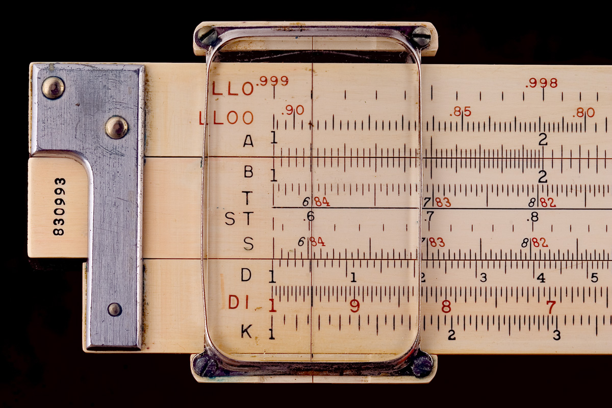
Source: Wikimedia Commons
In 1960 measuring a distance meant two people dragging a steel band across the ground and correcting the result for temperature, sag and slope. Measuring a height meant…
Source: Wikipedia
There is a standard way of looking at old maps that produces a confident and entirely wrong conclusion.
The method is to compare the map against a modern one…
Picture a world map. Almost everyone picturing one is imagining the same thing: a rectangle, with a large Greenland floating at the top, Canada and Russia spread enormously across the…