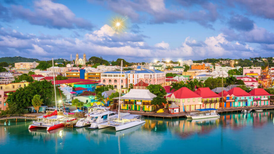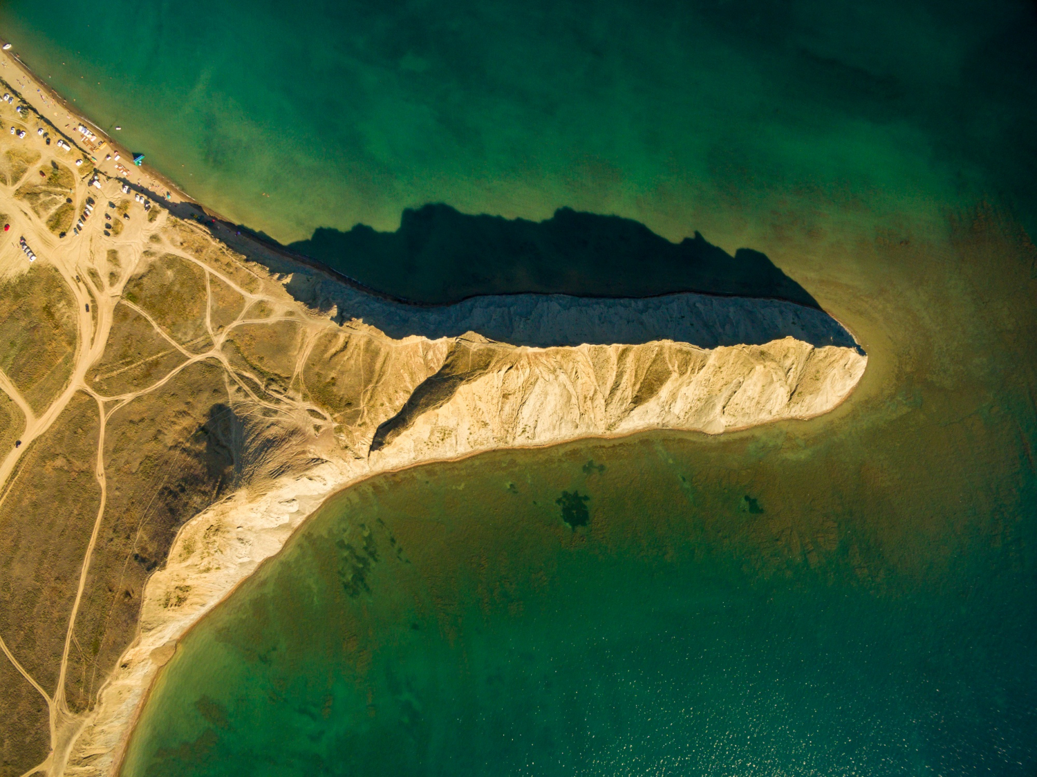
Everything below follows from the same arrangement: water on three sides or more, and one narrow way in by land. Here are seventeen things that produces.
1. The Spit That Kept Growing
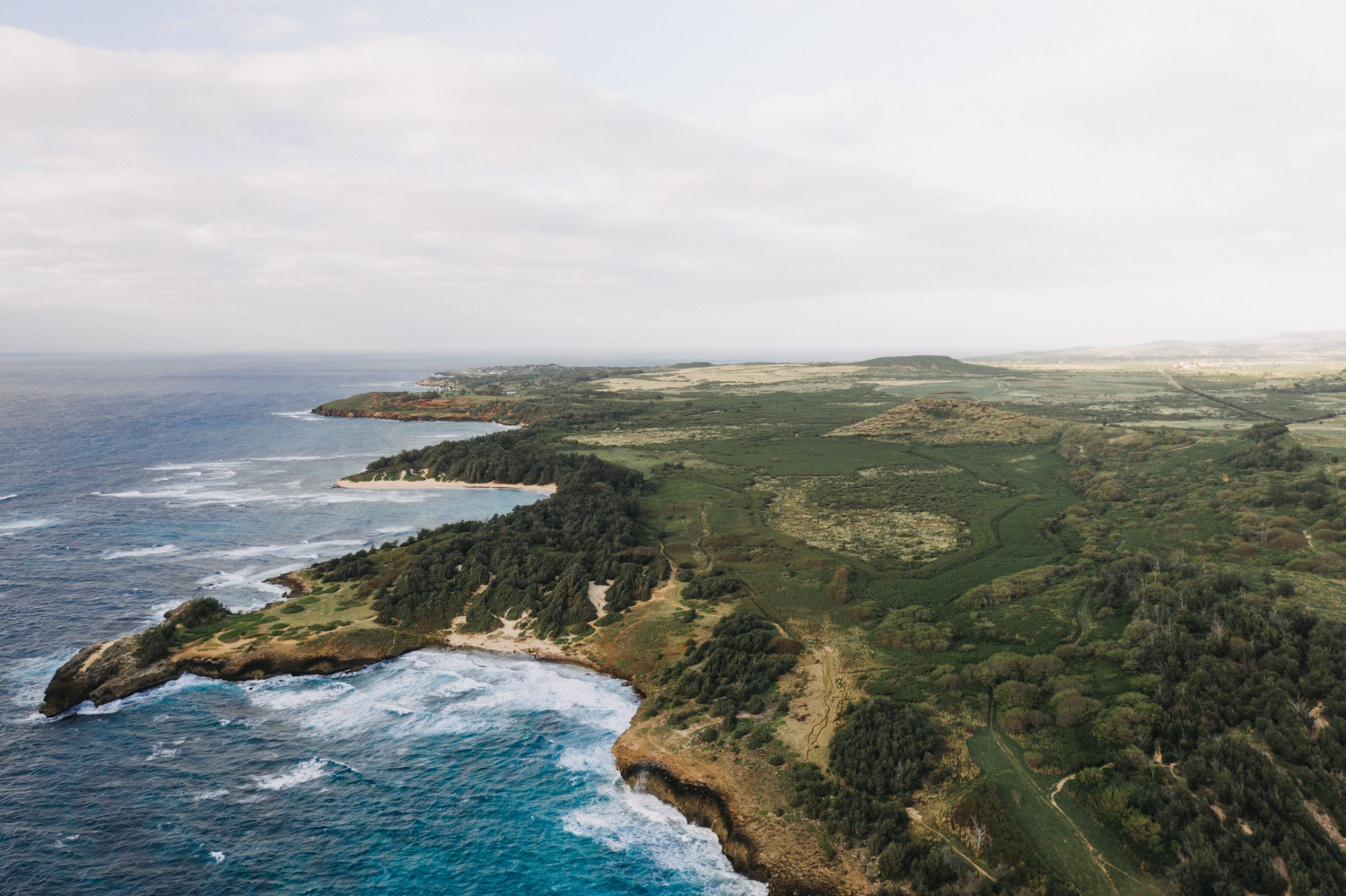
Longshore drift carries sediment along a coast and deposits it where the shoreline turns, building a bar that extends outward and can eventually become substantial land.
It is constructed rather than eroded. The depositional peninsula is the form that the sea built rather than cut.
Like our content? Follow us for more.
2. The Rock That Refused to Erode
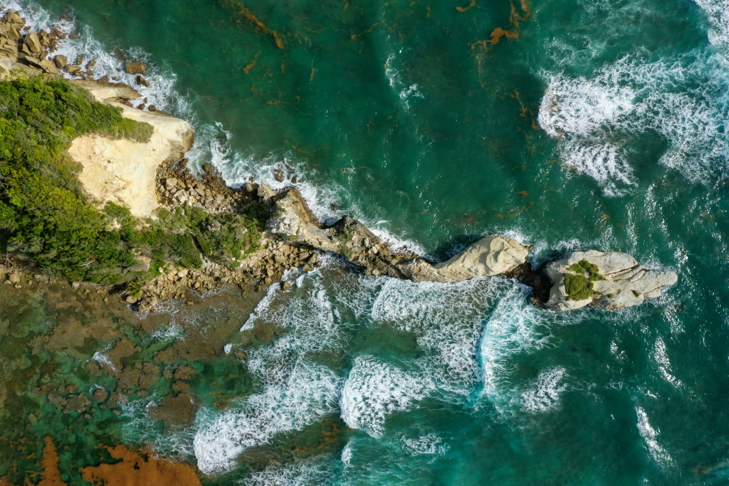
Where a band of resistant rock meets the coast, the softer material either side is cut back while the hard band remains, projecting further out with every century.
It is a peninsula by subtraction of everything around it. The resistant peninsula is the form defined by what has already gone.
3. The Drowned High Ground
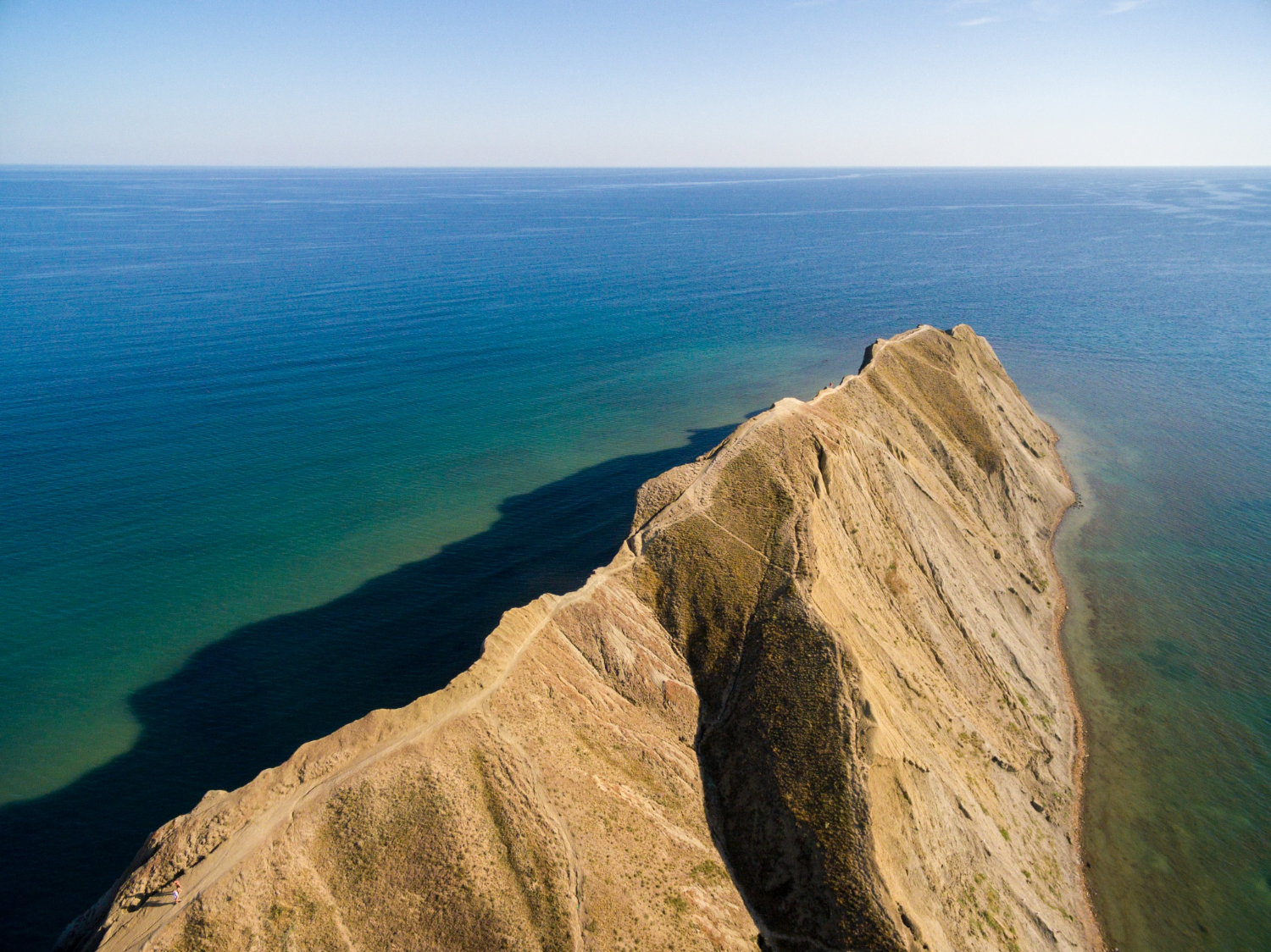
When sea level rises, ridges and higher land remain above water while valleys flood, leaving projections that were hilltops rather than coast.
The shape follows old topography rather than any marine process. The drowned peninsula is the form whose outline predates the sea.
4. The One Built by a Volcano
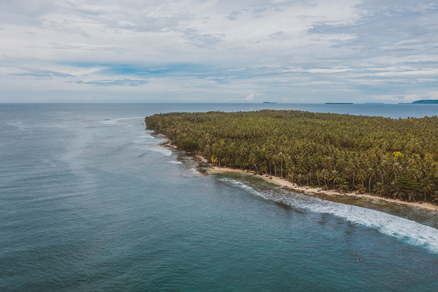
Volcanic construction can extend land seaward, producing peninsulas of young rock with steep profiles and, in some cases, active building still under way.
They are the newest land on any coast. The volcanic peninsula is the form still being added to.
5. An Enormous Amount of Coastline
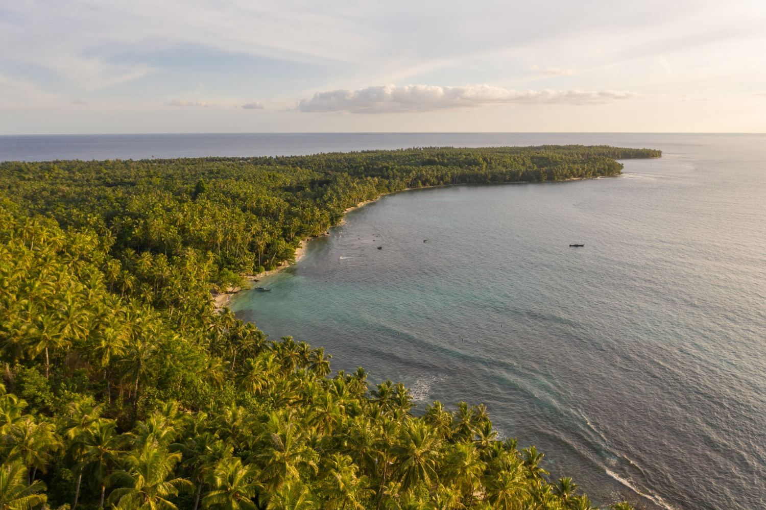
A peninsula has far more shoreline per unit of area than a comparable inland region, which affects everything from fishing to erosion management to how many settlements sit on water.
The ratio is the defining statistic. Coastline concentration is the property that makes a peninsula economically maritime by default.
6. The Climate Gets Moderated From Every Side
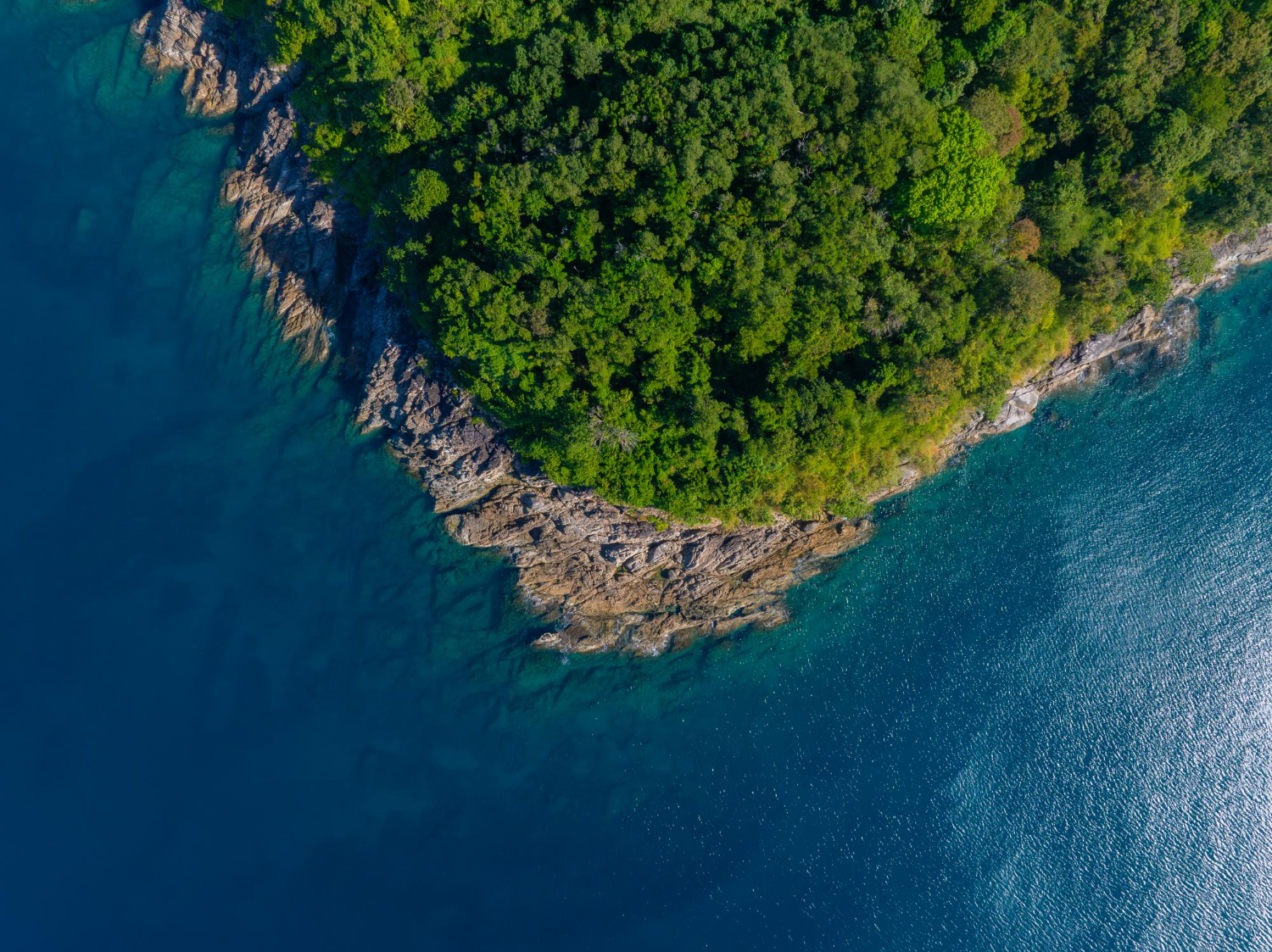
Water heats and cools far more slowly than land, so a peninsula experiences milder winters and cooler summers than an inland location at the same latitude.
With water on several sides the effect is amplified. Maritime moderation is the reason peninsulas grow things their latitude should not permit.
7. The Weather Arrives From Anywhere
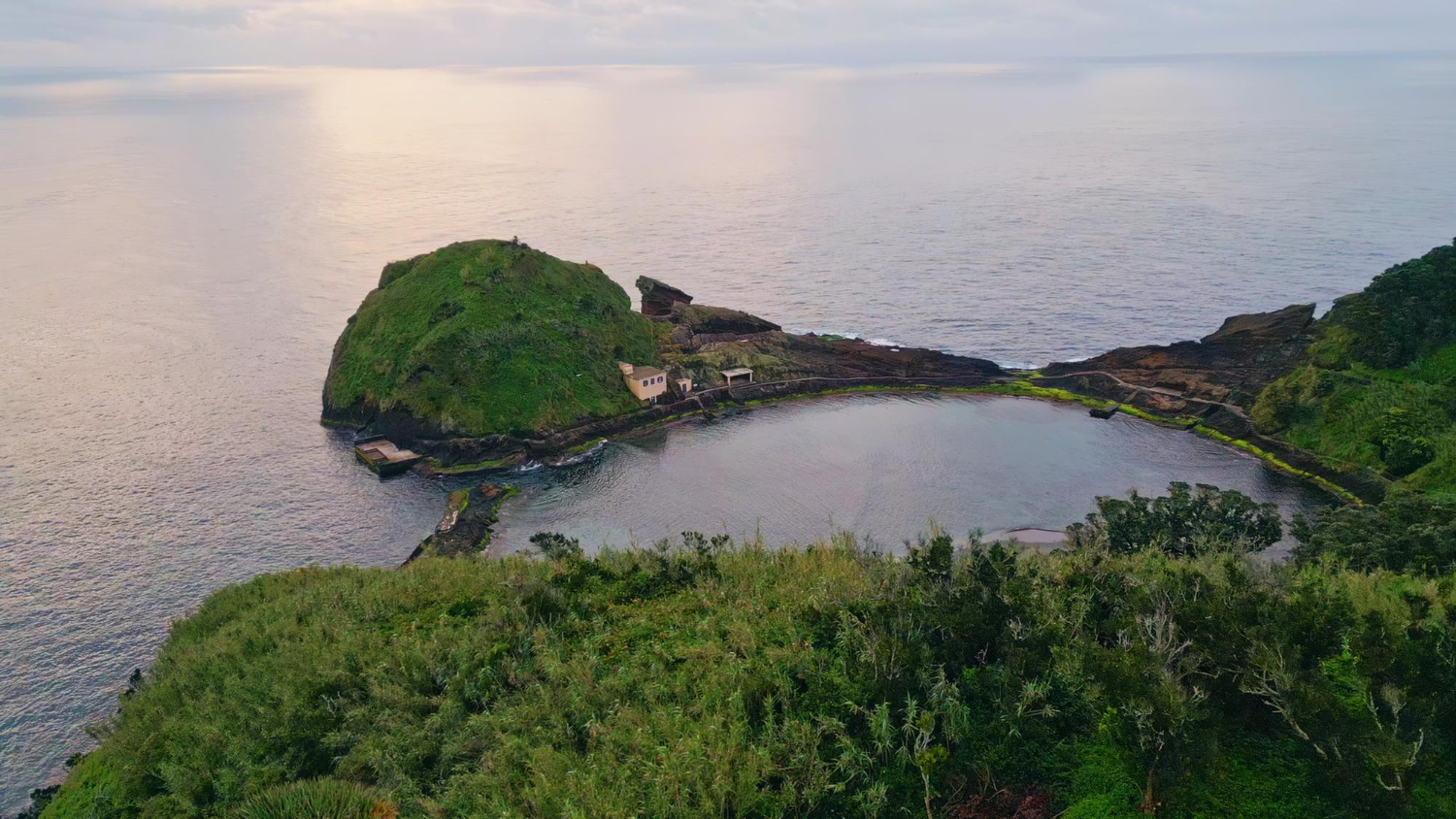
With no land upwind in most directions, weather reaches a peninsula from several quarters, and conditions can change with the wind direction rather than with any front.
Local forecasting is correspondingly difficult. Multi-directional exposure is the condition that makes peninsula weather unpredictable.
8. The Isthmus Controls Everything
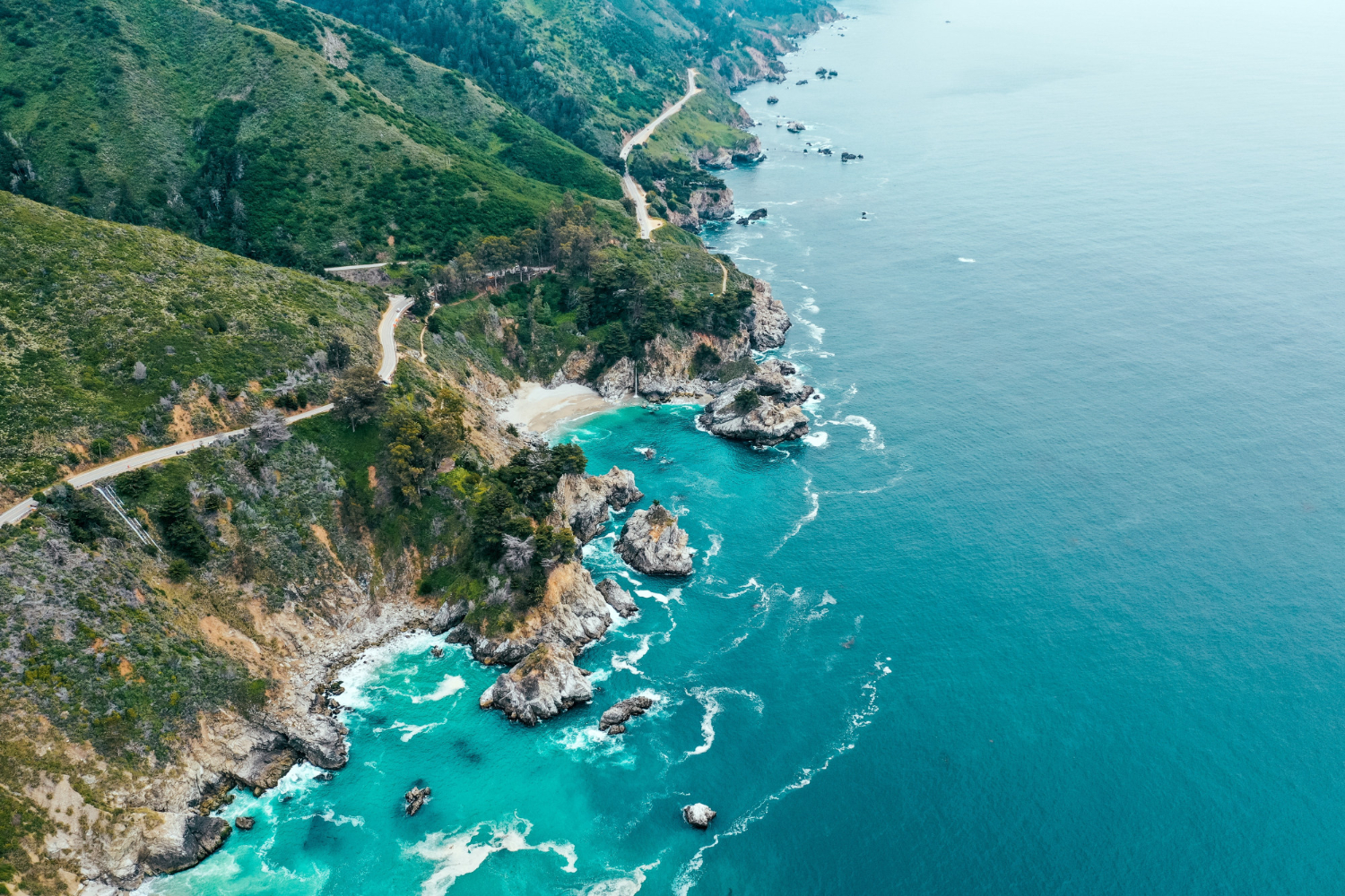
Land access is confined to a single narrow connection, which makes that strip disproportionately important for transport, supply and communication.
Everything overland passes through one place. The isthmus is the bottleneck that determines how a peninsula functions.
9. Which Is Where People Cut Canals
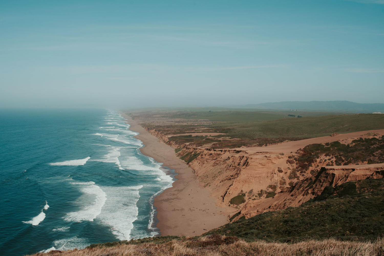
A narrow neck separating two bodies of water is the obvious place to dig, since a short cut saves an enormous voyage around the point.
Several of the world major canals exist for exactly that reason. The cut isthmus is the engineering response to a long way round.
10. Shipping Has to Round the Point
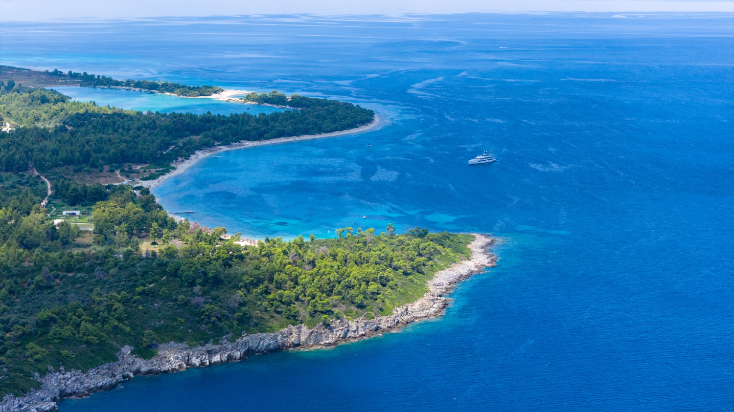
Vessels must pass the tip or take a cut, which concentrates traffic and makes peninsula points among the busiest and most hazardous waters on any coast.
Lighthouses cluster there accordingly. The rounding point is the reason peninsula tips carry so much navigational infrastructure.
11. Currents Concentrate at the Tip
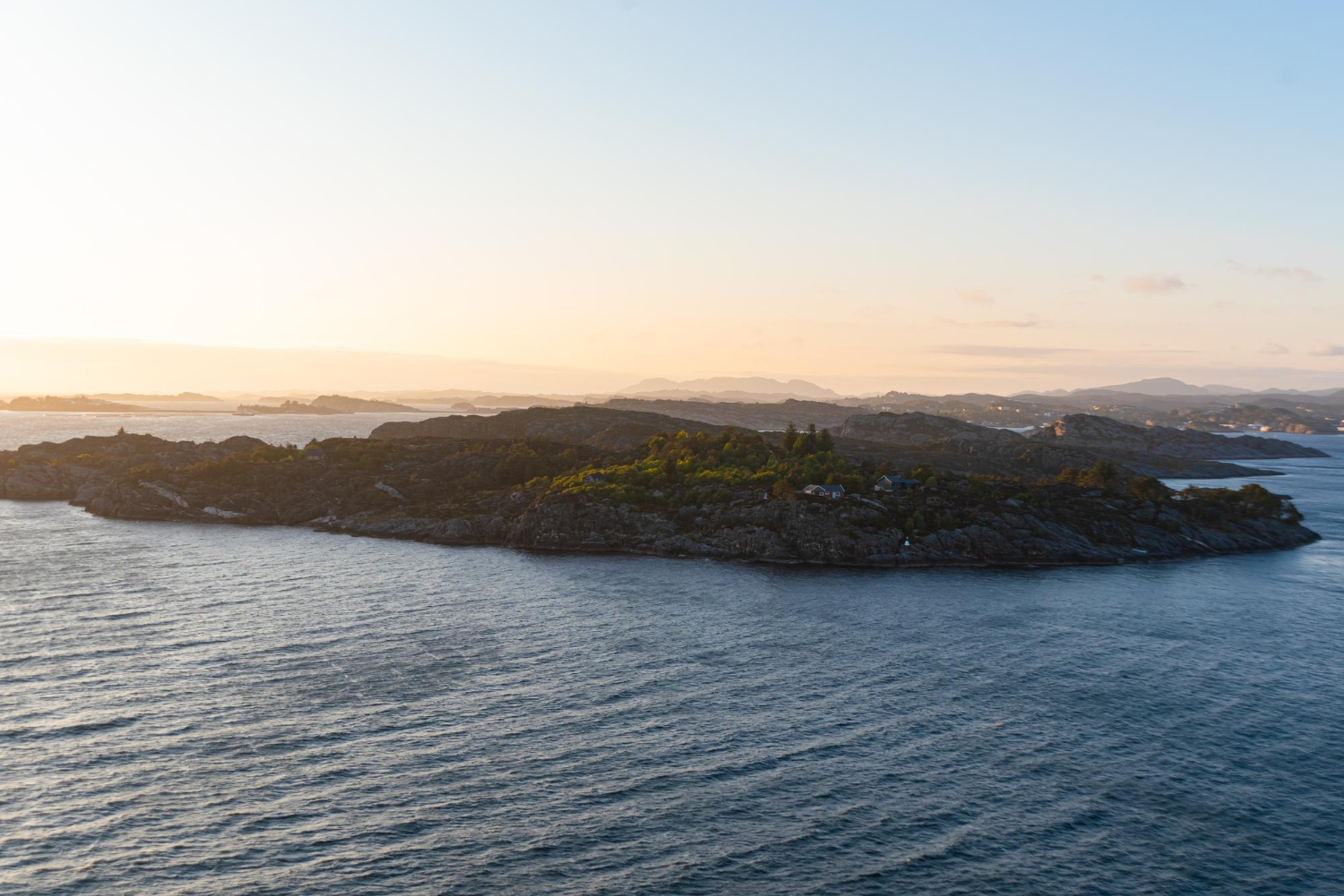
Water forced around a projection accelerates, producing strong tidal streams, overfalls and confused conditions off the end of almost every peninsula.
The sea there behaves differently from the coast either side. Tip currents are the hazard that peninsula geography creates automatically.
12. Species Thin Out Toward the End
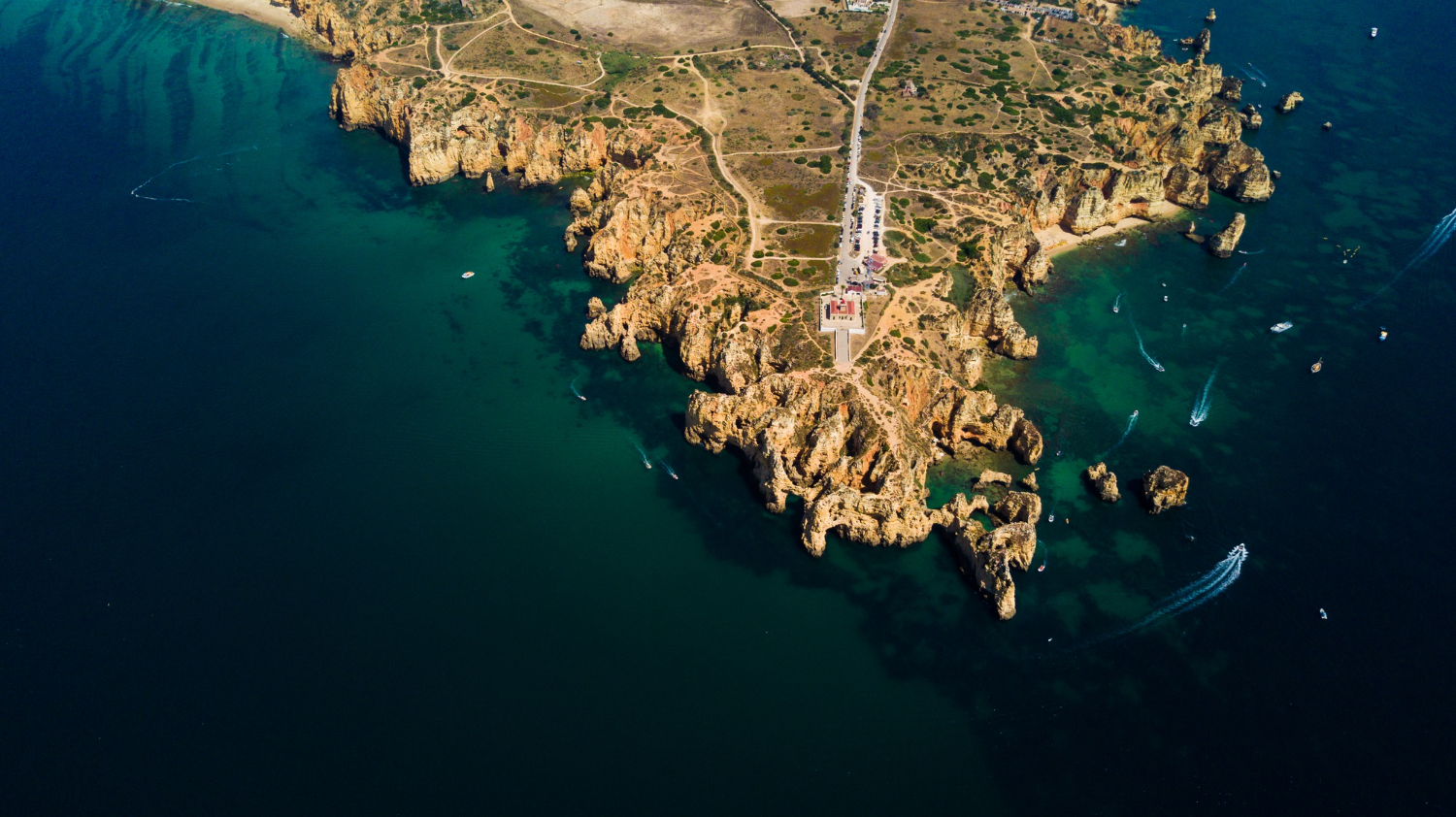
Terrestrial diversity frequently declines along a peninsula, since colonising species arrive along one narrow route and populations near the tip are smallest and most isolated.
The pattern is documented across many peninsulas. The diversity gradient is the ecological signature of a one-way entrance.
13. And Marine Species Do the Opposite
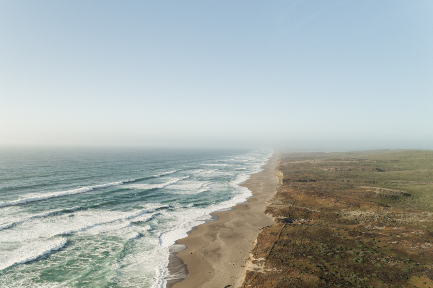
Concentrated currents and mixing bring nutrients toward peninsula tips, so the waters around them are frequently far richer than the land is.
The contrast between the two can be extreme. The marine reversal is the pattern where the sea is more productive than the ground.
14. Distinct Culture and Frequently Distinct Language
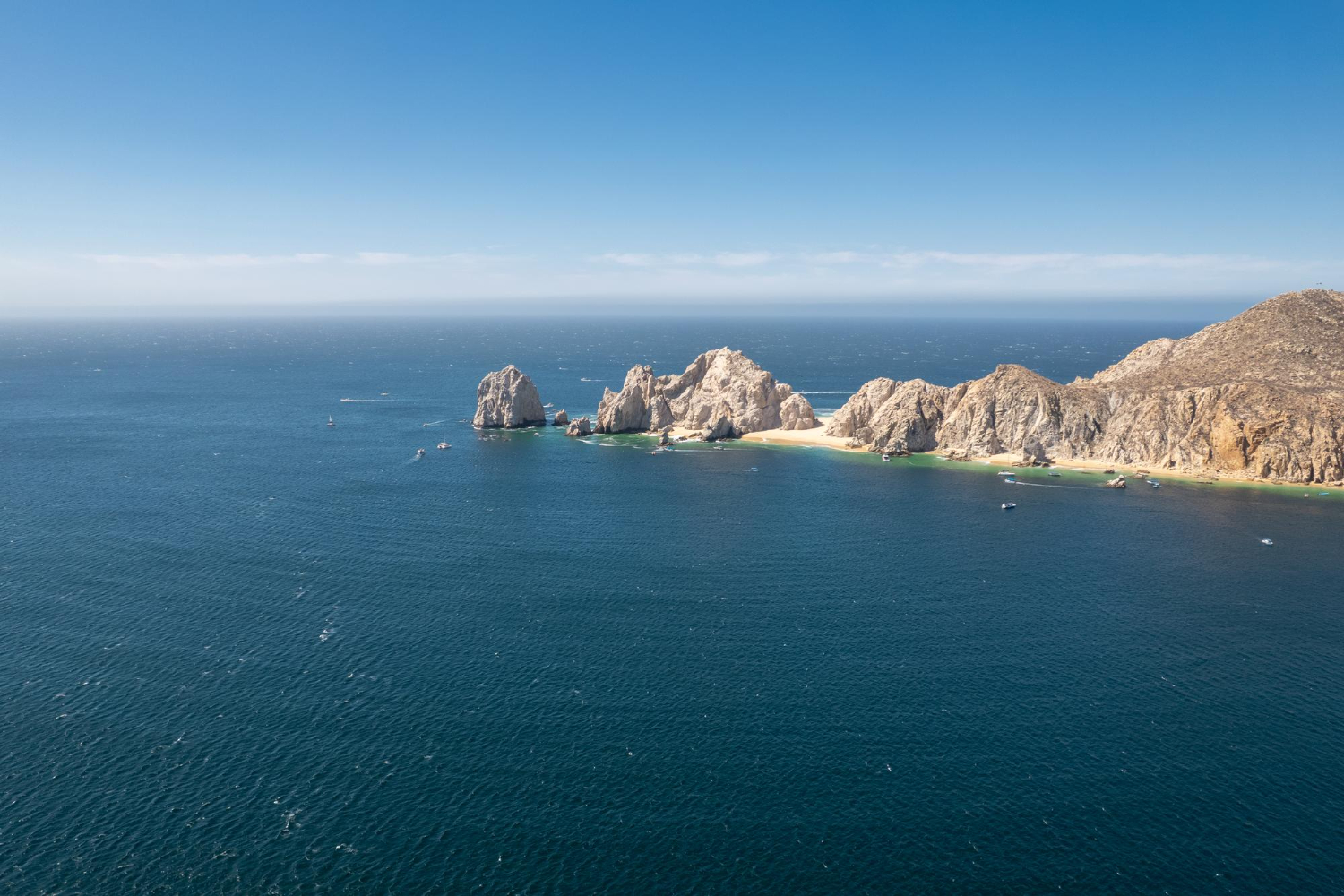
Restricted land access slows the movement of people and ideas, so peninsulas repeatedly develop identities, dialects and in some cases languages that differ from the interior behind them.
Water connects them outward more readily than land connects them inward. Cultural distinctness is the human consequence of a single land route.
15. They Face Outward Rather Than Inward
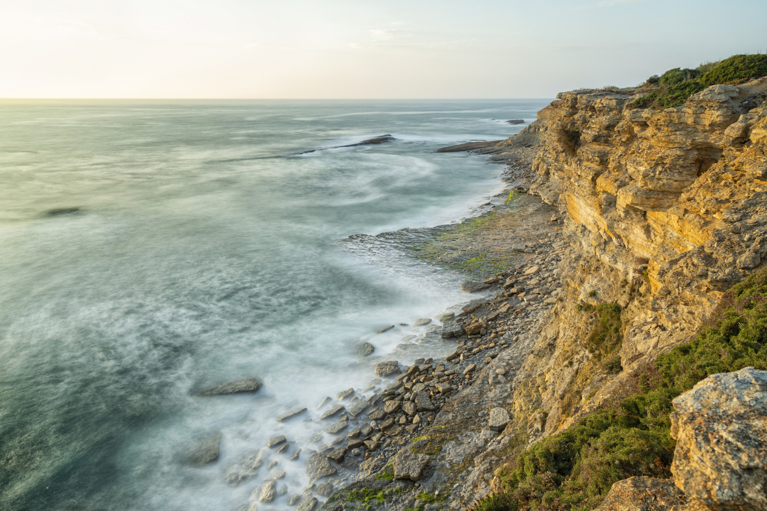
A peninsula generally has more contact by sea with distant places than by land with its immediate neighbours, which shapes trade, settlement and outlook.
The nearest place is frequently not the most connected. Seaward orientation is the pattern that makes peninsula economies maritime.
16. Settlements Sit on the Sheltered Side
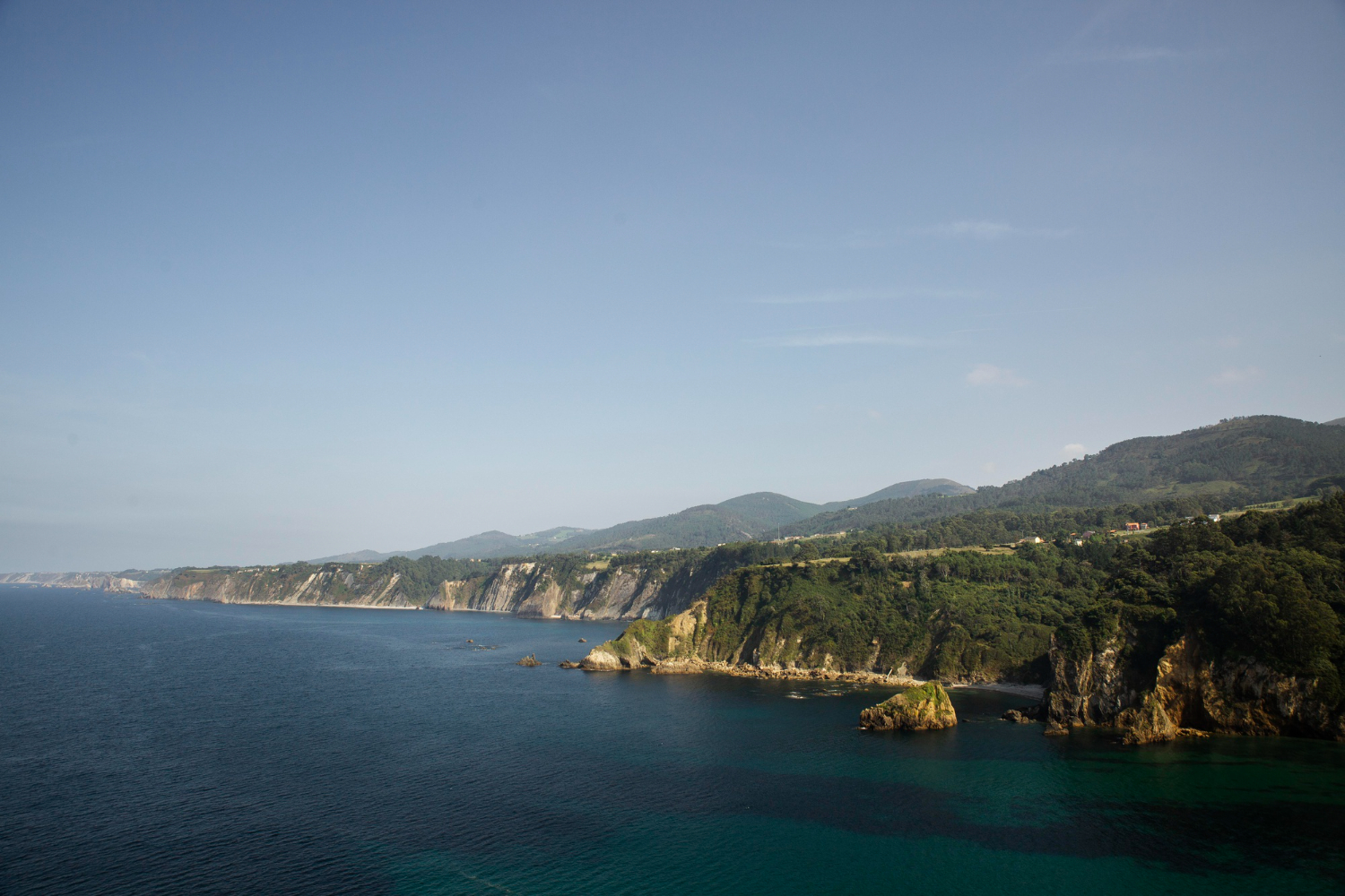
Prevailing weather comes predominantly from one direction, so ports, towns and harbours cluster on the leeward coast while the exposed side stays comparatively empty.
The asymmetry is visible on any map. Sheltered-side settlement is the pattern that a single glance at the coast reveals.
17. The Tip Is Always Somewhere People Go
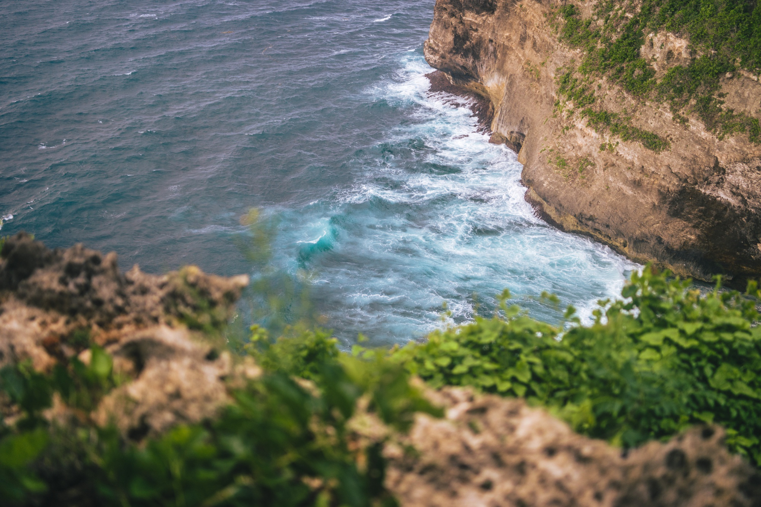
The end of a peninsula is a definite place – a limit, a point, a last piece of land – and almost every one has acquired significance out of proportion to what is there.
Frequently there is very little. The point as a destination is the human response to somewhere obviously ending.
Water on Most Sides, One Way In
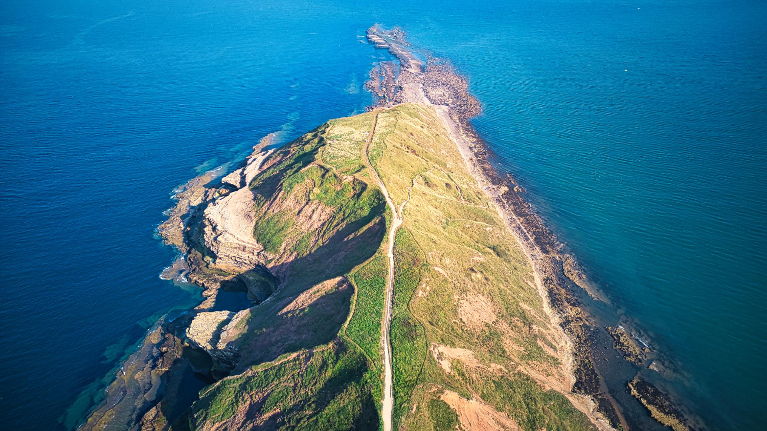
Every consequence here traces to the same arrangement. Water surrounds and moderates, the coastline is enormous, the currents concentrate, the wildlife thins, and everything by land funnels through one narrow neck.
Practical notes: peninsulas are exposed, weather can arrive from several directions and change with the wind rather than with a forecast, and the water off the tip is frequently far rougher than the coast either side suggests. Check conditions locally rather than regionally, and treat the point at the end as the most exposed place available rather than simply the furthest.
Like our content? Follow us for more.