

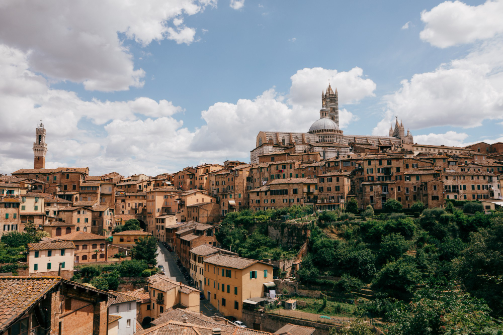
There is a question that seems too large to answer and turns out to have a small number of recurring answers.
The question is why a particular city is where it is. Not why cities exist, but why this one is here and not five miles away, on ground that looks equally suitable.
The answers fall into a limited set of categories, and once you know them you can generally work out the reason for any old settlement from a map — which is a substantially more useful skill than it sounds.
The general principle is that settlements form where movement is interrupted, because an interruption is where goods must be handled, where travellers must stop and where somebody can charge for either.
The Break of Bulk
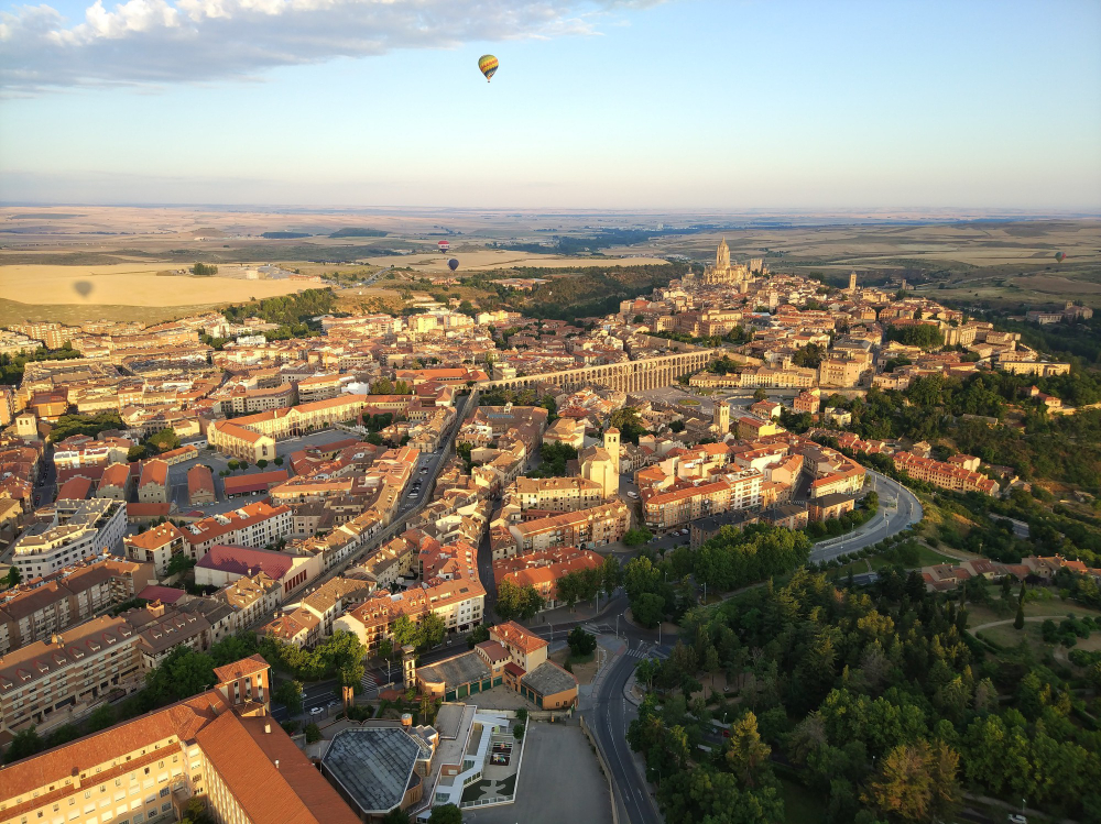
The underlying concept explains more cases than anything else.
Wherever goods must be transferred from one mode of transport to another — from ship to cart, from river boat to sea vessel, from pack animal to wagon — the transfer requires labour, storage, handling and time.
That creates employment, warehousing, and a place where goods sit and can be bought and sold. It also creates an opportunity to tax, which attracts authority.
Every point where a journey has to change character is therefore a candidate site, and a great many cities are at exactly such points.
The most common version is where a river stops being navigable — either because of rapids, shallows or a fall — which forces cargo onto land. That point is fixed by geology and does not move, and a settlement there is permanent.
Like our content? Follow us for more.
The Crossing Point
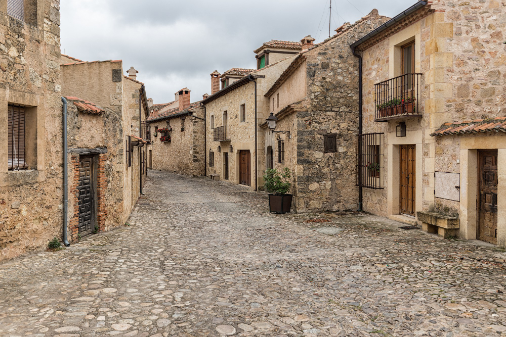
River crossings are the second major category and produce a specific pattern.
A river can be crossed at limited points, and the lowest such point — furthest downstream — is disproportionately important, because everybody travelling along the coast or the valley must use it.
That concentrates traffic from a wide area onto one location, which is exactly the condition that produces a town.
Bridging technology changed which points were usable, so a settlement at an ancient ford may have been superseded by one at the first bridging point, and both may survive with different characters.
The pattern is visible on any map. Roads converge from several directions onto a crossing, and the town sits at the convergence rather than being distributed along the river.
The Gap and the Pass
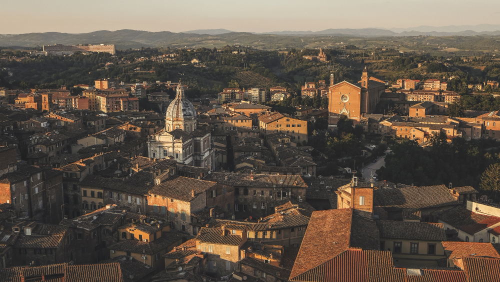
Where terrain restricts movement, the restriction concentrates it.
A gap through a ridge, a pass through mountains, a dry route across marsh or a narrow point between two obstacles all force travellers onto a single line.
Anything that must pass through a narrow point can be controlled there, which is why such places acquire fortifications, and why the fortification frequently precedes the town rather than following it.
Those sites are also defensible, which matters enormously in periods when that was a consideration, and the combination of control and defence explains a great many older settlements in awkward positions.
There is a point about persistence worth adding here. Once a settlement exists at an advantageous point, it becomes an advantage in itself – other things locate near it because it is there, which reinforces the position independently of the original reason.
That is why sites that were marginally better than their neighbours end up dramatically larger. A small initial advantage compounds over centuries.
The Edge Between Two Countries
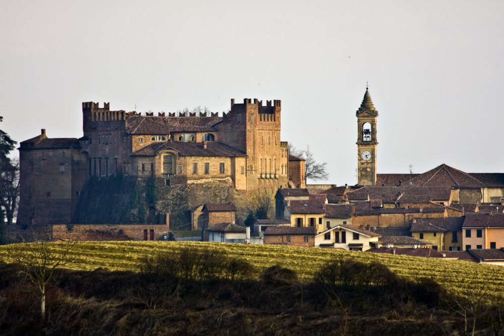
A less obvious category concerns boundaries between different kinds of land.
Where two contrasting environments meet — upland and lowland, forest and open ground, marsh and dry land, arable and pasture — the products of each are available at the junction.
That produces exchange, because people on either side have what the other lacks, and exchange produces a market, and a market produces a town.
Such sites are frequently in positions that look unremarkable, because the resource is the boundary itself rather than anything present at the location.
A line of settlements along the foot of a range of hills, or along the edge of a marsh, is generally this pattern, and the regularity of the spacing is a clue.
Some conditions are necessary without being sufficient, and they filter the possible sites.
Fresh water is the absolute requirement, which is why springs, wells and rivers underlie almost every old settlement regardless of what else recommended the location.
Defensibility mattered in many periods, favouring high ground, peninsulas, islands and river bends.
Dry ground above the flood level was essential, which is why riverside settlements sit on terraces slightly above the water rather than beside it.
And building material and fuel within reach mattered, which is why so many older towns are built of whatever the local geology provided.
Those requirements do not explain why a particular site was chosen, since many sites satisfy them. They explain which sites were eliminated.
There is a category worth adding for completeness. Some settlements exist because somebody decided they should – a planned foundation, an administrative capital, a company town, a fortress placed for strategic reasons.
Those are recognisable by their regularity and by sitting in positions that no gradual process would have selected, and they succeed or fail depending on whether the situation eventually justifies the decision.
Reading It From a Map
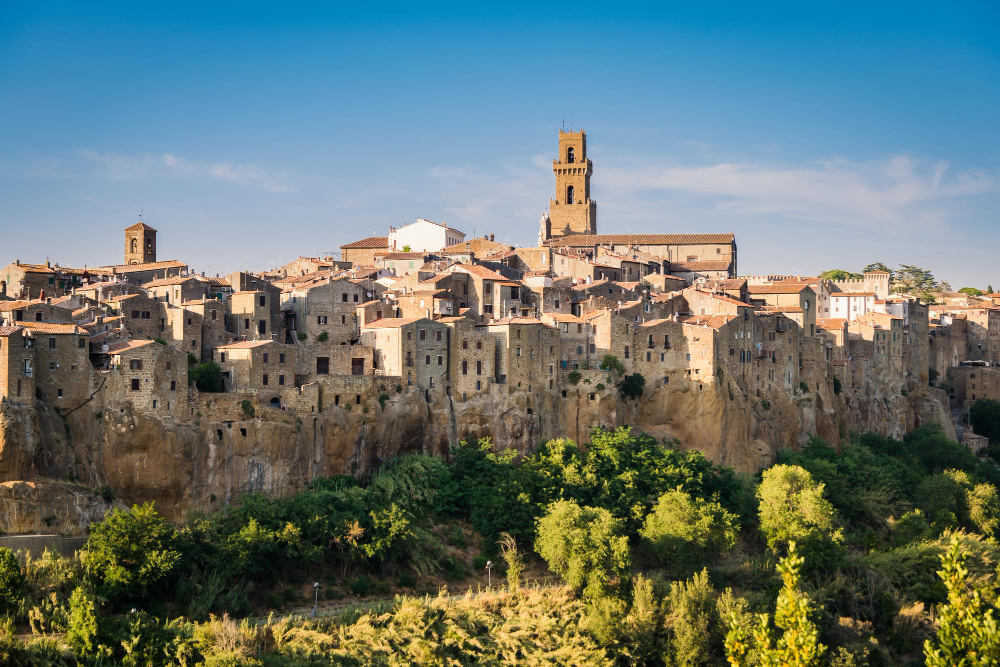
The practical method is straightforward and works surprisingly often.
Look at where the roads converge, because roads follow terrain and converge where terrain forces them to.
Look at the river — where it narrows, where it stops being navigable, where the lowest crossing is, and whether the town is at any of those.
Look at the surrounding country for a boundary between two different kinds of land, and check whether the town sits on it.
Look for the constriction: a gap, a pass, a neck of land, a route between obstacles.
And look at the oldest part of the settlement rather than the modern extent, because the original site is what was chosen and everything since has grown outward from it.
When the Site and the Situation Disagree
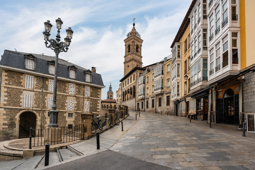
There is a distinction worth drawing that resolves a number of puzzling cases.
The site is the ground itself — whether it is dry, defensible, supplied with water, buildable. The situation is its position relative to everything else — routes, resources, other settlements, markets.
Those are independent, and a place can be strong in one and weak in the other.
A settlement with an excellent site and a poor situation stays small. It has everything it needs locally and no reason for anybody to come, so it remains a village regardless of how pleasant the ground is.
A settlement with a poor site and an excellent situation grows anyway, and then spends centuries solving the problems of its own ground — draining marsh, building on unstable material, importing water, defending an indefensible position.
A number of substantial cities are in that category, occupying ground nobody would choose, because the position was worth the trouble and the trouble was solvable with enough effort.
That explains the cases that otherwise look inexplicable. A city on a flood plain, on soft ground, in an exposed position or without a local water supply is generally there because of where it is rather than what it is on — and the engineering that made it habitable came afterwards, paid for by the advantages of the situation.
Which also means that site problems are visible in the built fabric. Embankments, drainage, foundations, water supply and defensive works are the record of a settlement overcoming ground it was placed on for other reasons.
Why the Reason Frequently Stops Mattering
The final observation is the one that makes this interesting rather than merely explanatory.
A great many cities exist for reasons that have entirely ceased to apply. The river is no longer a transport route. The crossing is one of a dozen. The pass carries a motorway that does not stop. The exchange between two kinds of country happens elsewhere entirely.
The city remains, because a city is self-sustaining once it exists — the people, the buildings, the connections and the economy are reasons in themselves, independent of whatever put them there.
So the geography explains the origin and stops explaining the present, which means the answer to why a city is where it is frequently concerns conditions that ended centuries ago.
And it is usually still legible. The convergence of roads, the bend in the river, the gap in the hills are all still there, doing nothing in particular, having already done the only thing that mattered.
Which is a reasonable thing to look for anywhere. The reason a place exists is usually still visible in the ground it sits on, and it is usually no longer the reason anybody is there.
Like our content? Follow us for more.
