The defining property is that nothing here is constant. Salinity at any given point changes twice a day and again with the seasons, and every organism and process in an estuary is adapted to that rather than to any particular condition. Here are twelve.
1. Fresh Water Floats on Salt
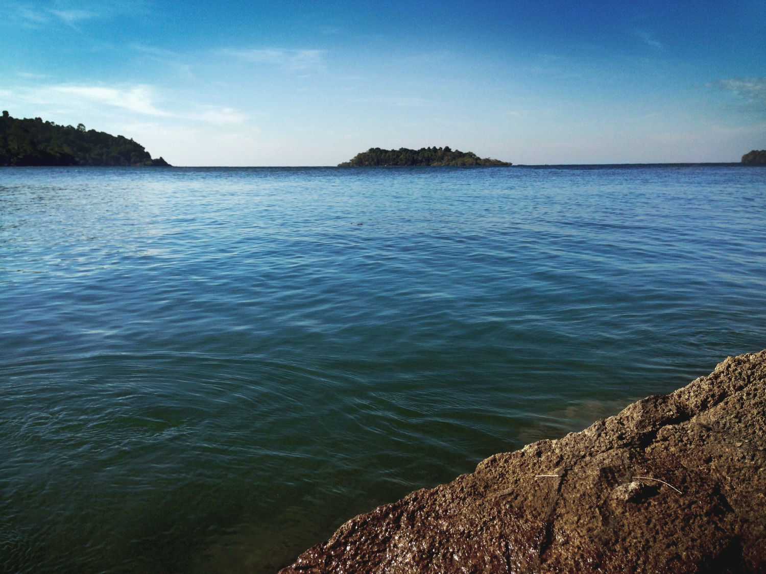
Fresh water is less dense, so where a river meets the sea it rides over the top rather than mixing immediately, producing distinct layers with a boundary between them.
The two can be metres apart vertically. Density stratification is the arrangement everything else follows from.
Like our content? Follow us for more.
2. The Salt Wedge Moves Up and Down
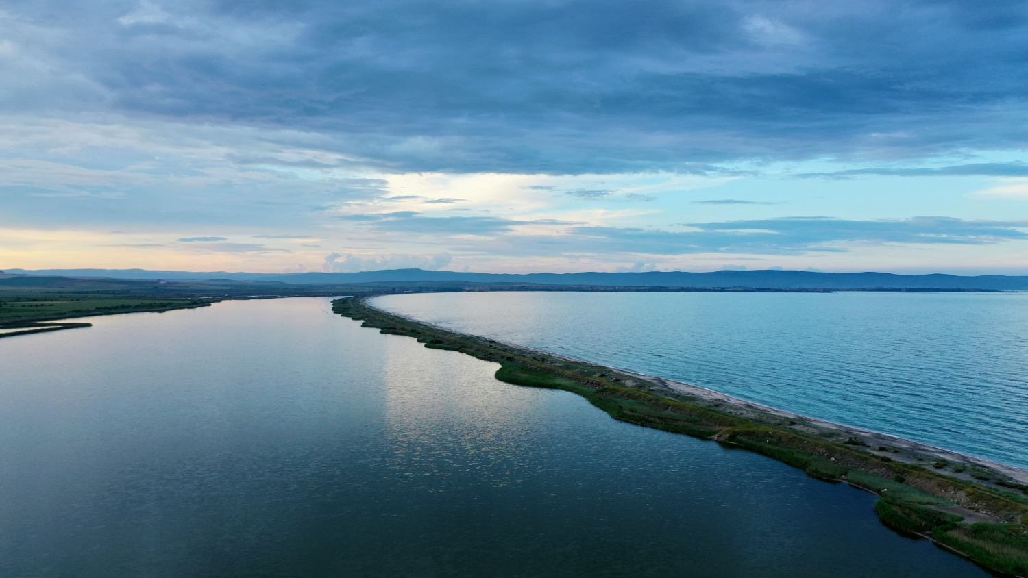
Denser seawater pushes upstream along the bottom as the tide rises and retreats as it falls, so a point on the riverbed may be salt at one hour and fresh at another.
The wedge can extend a considerable distance inland. Tidal intrusion is why salinity is a schedule rather than a location.
3. How Well It Mixes Varies Enormously
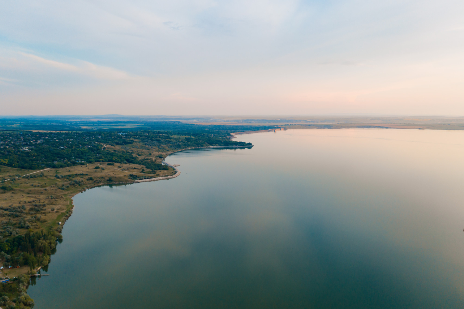
Where tidal energy is strong and river flow modest, the water column mixes thoroughly; where the river is powerful and the tide weak, the layers stay separate.
The same coastline can contain both types. Mixing regime is the variable that makes estuaries so different from one another.
4. Salt Makes Mud Out of Suspension
Fine particles carried by a river repel one another and stay suspended in fresh water. When they meet dissolved salts, the repulsion is neutralised, the particles clump and they settle out.
That is a chemical trigger rather than a slowing of the current. Flocculation is why estuaries are muddy and rivers are not.
5. Which Is Why They Fill Themselves In
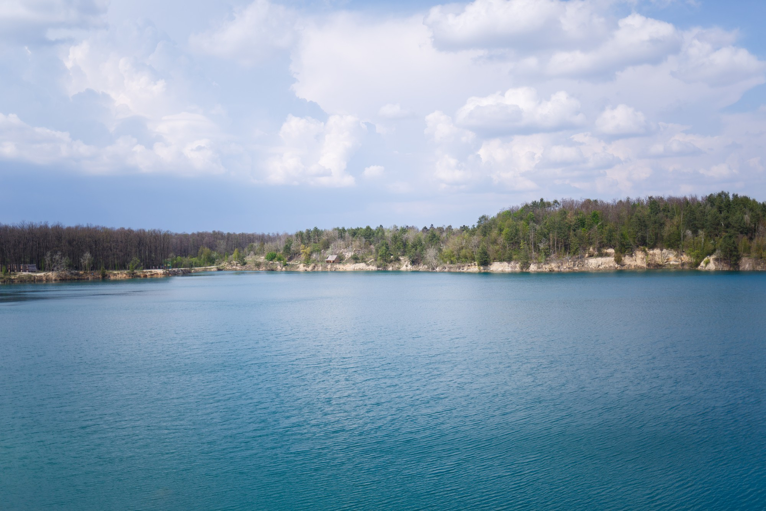
Because sediment drops out where the water turns salty, estuaries accumulate material continuously and the channels within them shift, silt and require constant dredging where they are used.
The trap operates permanently. Sediment accumulation is the process that works against every port in one.
6. The Mud Is Extraordinarily Productive
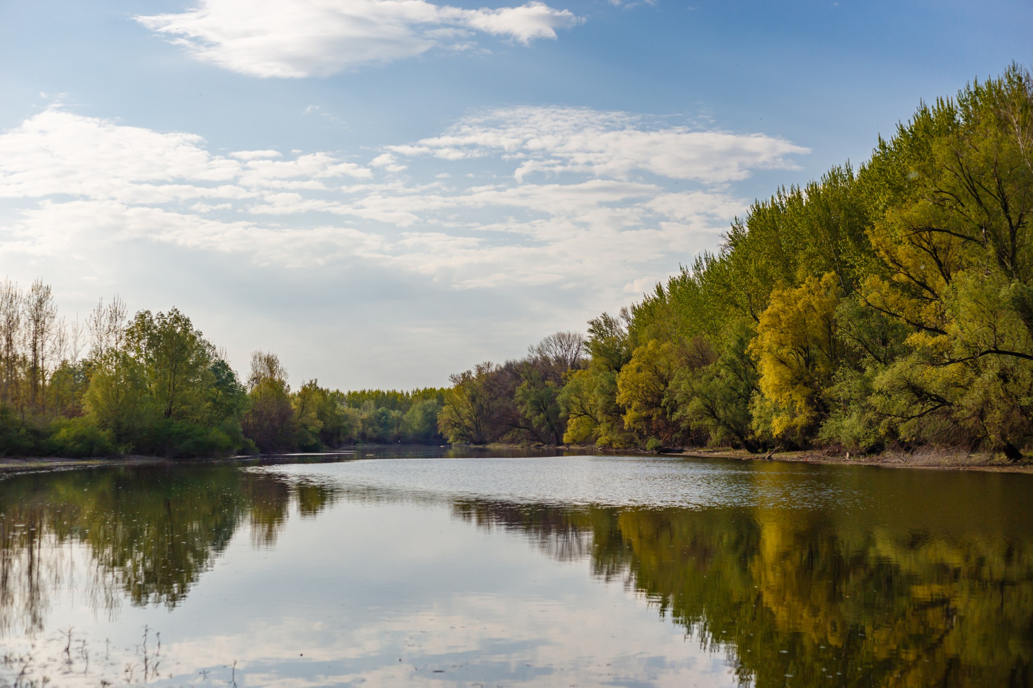
Estuarine mud is rich in organic material and supports enormous densities of small organisms living within it, at concentrations far exceeding most marine sediments.
It looks like nothing and contains a great deal. Mudflat productivity is the reason the place matters ecologically.
7. Which Is Why the Birds Are There
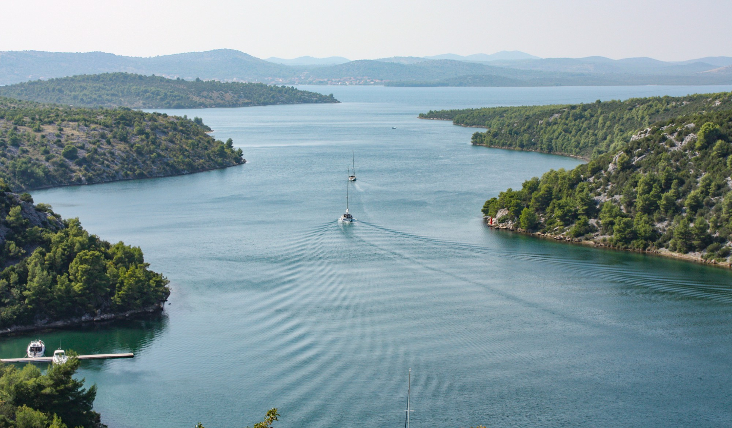
Those organisms support very large populations of wading birds, whose different bill lengths allow them to feed at different depths in the same mud without competing directly.
Species partition the sediment vertically. Bird concentration is the visible consequence of what is in the mud.
8. The Vegetation Arranges Itself in Bands
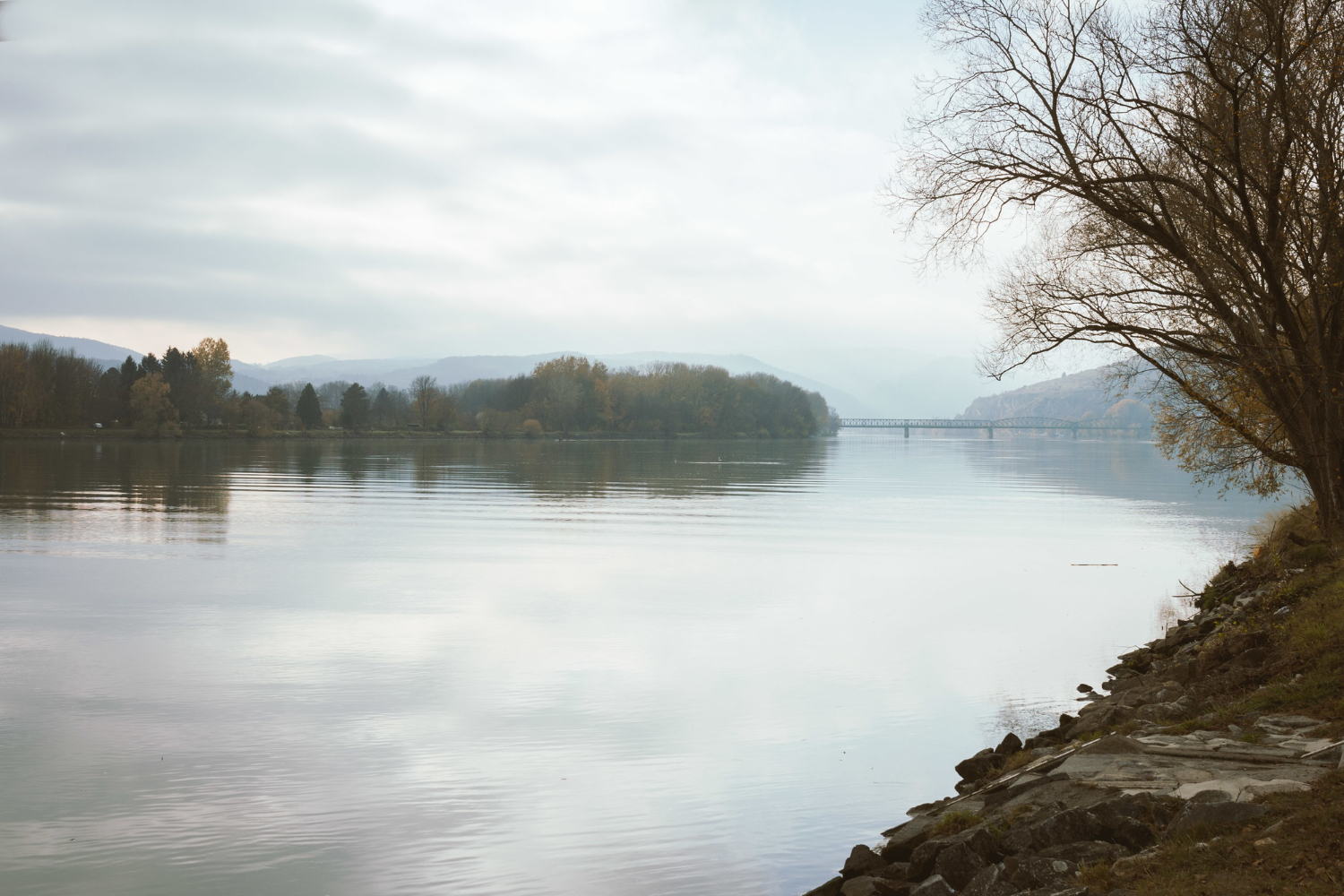
Plants tolerant of different immersion frequencies occupy different heights, producing visible horizontal zonation from open mud through marsh to dry land.
The stripes are a map of the tide. Vegetation zonation is the tidal record written in plants.
9. Very Few Species Can Live There
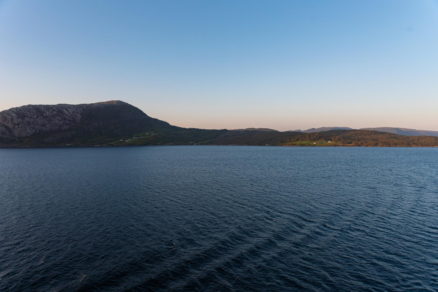
Constant salinity change is physiologically demanding, and most marine and most freshwater organisms cannot tolerate it, which is why estuarine species diversity is low while abundance is high.
A few tolerant species in enormous numbers. Low diversity and high abundance is the estuarine signature.
10. It Works as a Nursery
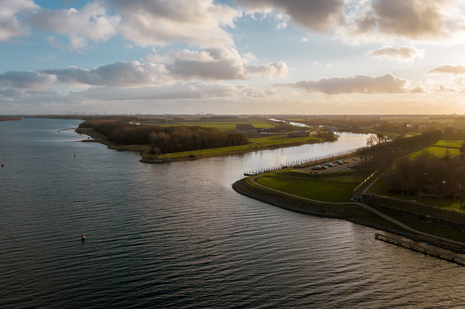
Many fish species use estuaries as juvenile habitat, because the variable salinity excludes many predators and the food supply is exceptional.
They move out to sea as adults. Nursery function is the role estuaries play for populations that live elsewhere.
11. The Tidal Range Can Grow Inland
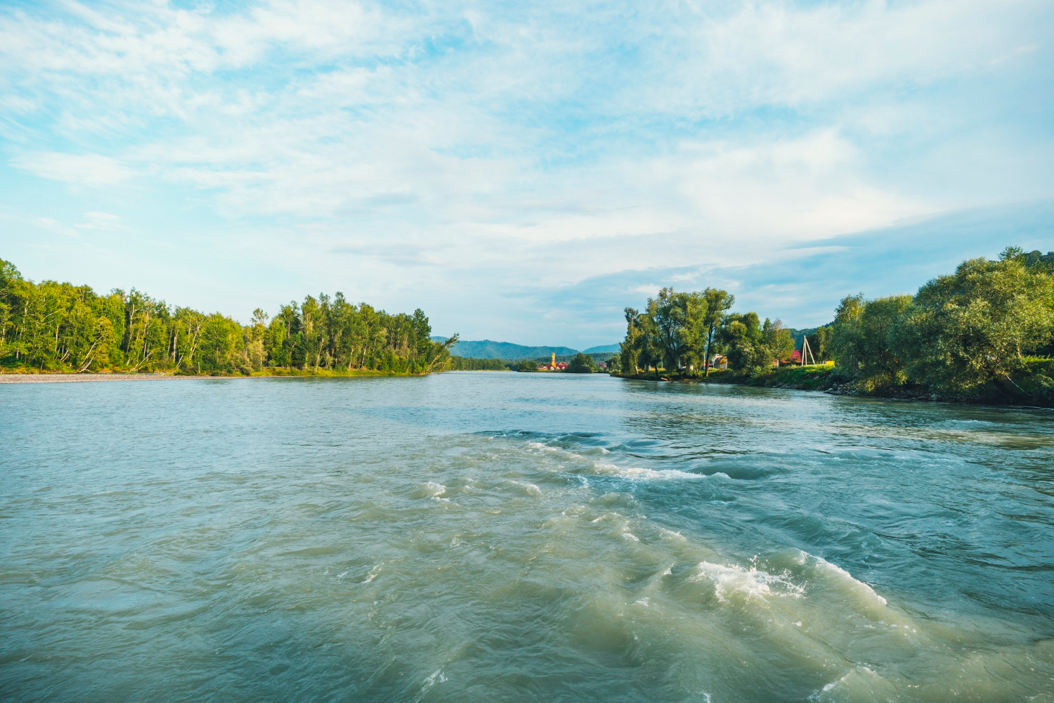
Where an estuary narrows and shallows, the same volume of tidal water is forced into a smaller cross-section, so the range at the head can exceed that at the mouth.
It is the opposite of what people expect. Tidal amplification is why the water rises further upstream.
12. Almost Every Major Port Is in One
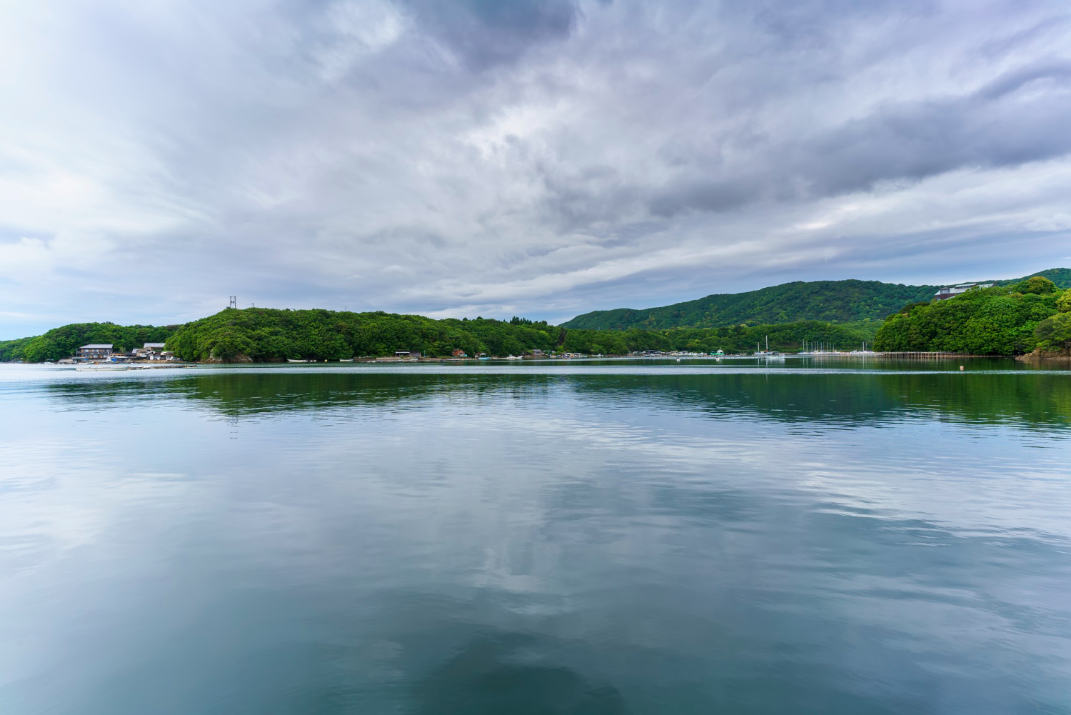
Estuaries combine shelter from open sea, sufficient depth, a route inland and a defensible position, which is why they have been the standard location for ports and cities for as long as either has existed.
The geography chose the sites. Port location is the human consequence of everything above.
A Zone Rather Than a Boundary
Layers of different density, a salt wedge moving with the tide, sediment dropping out where the chemistry changes, and a community adapted to conditions that never settle.
Practical notes: estuarine mud is soft and substantially deeper than it appears, tides move across flats far faster than anybody expects and can fill channels behind you, and open mudflats are truly disorienting in poor visibility with few fixed reference points. Stay on marked paths and check tide times from an official source before going onto any flat.
Like our content? Follow us for more.