
The American Interstate Highway System — the 48,756-mile network of limited-access freeways officially designated as the Dwight D. Eisenhower National System of Interstate and Defense Highways — is approximately 99 percent complete by the original 1956 federal legislation’s mileage authorization. The remaining gaps are not random. Five specific American highway corridors connect major population centers, carry substantial commercial truck traffic, and meet most of the engineering criteria for Interstate designation — but remain regular U.S. highways rather than Interstates. The reasons are specific: federal funding constraints, state-level prioritization decisions, geographic challenges, and in some cases active political opposition. Each of the five gaps below represents a corridor where Interstate-grade infrastructure would substantially improve regional commerce and travel — but where the federal-state cooperative process required to designate and fund a new Interstate has stalled for decades. Here are the five American highway corridors that should be Interstates, with the specific reasons each one remains a regular highway.
The Interstate Highway System was authorized by the Federal-Aid Highway Act of 1956 and developed continuously through the 1990s, with the system officially declared complete in 1991. Since then, additional Interstate-grade routes have been designated case by case through congressional approval, typically as additions to the existing system rather than entirely new corridors. The five corridors below have been periodically proposed as Interstate additions over the past 30 years, with proposals advancing varying distances through the federal designation process. None has reached completion. Each represents a real gap in American highway infrastructure that has measurable consequences for regional commerce, commute times, and traffic safety.
1. U.S. Highway 287 from Fort Worth, Texas to Limon, Colorado
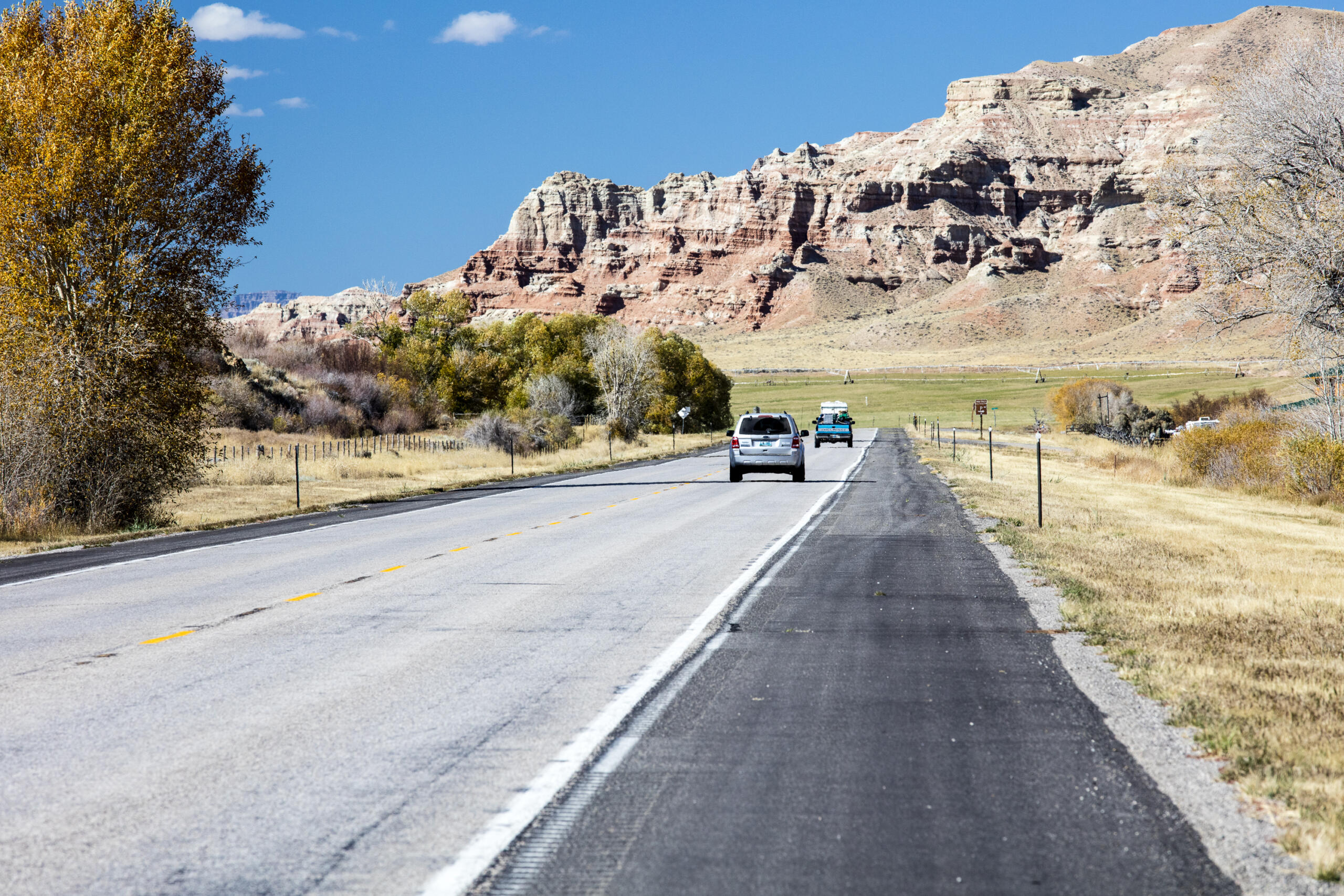
U.S. Route 287 runs approximately 770 miles from Port Arthur, Texas through Fort Worth, Wichita Falls, Amarillo, the Texas Panhandle, the Oklahoma Panhandle, and Eastern Colorado to Limon and onto Denver. The corridor carries substantial commercial truck traffic — the route is the most direct path between the Texas Triangle (Dallas-Fort Worth-Houston-San Antonio-Austin metropolitan complex) and Denver, the broader Rocky Mountain region, and the Pacific Northwest. The current U.S. 287 is partially upgraded to four-lane divided highway but includes substantial stretches of two-lane rural road through the Texas Panhandle and Eastern Colorado. The proposed I-27 corridor extension, known as the “Ports-to-Plains” initiative, would upgrade U.S. 287 to Interstate-grade standards from Laredo, Texas to Denver. Texas Department of Transportation has approved the project conceptually. Funding remains the obstacle — full upgrade cost estimates exceed $20 billion across multiple decades, and the federal Highway Trust Fund has not provided adequate funding.
2. U.S. Highway 23 from Jacksonville, Florida to Detroit, Michigan
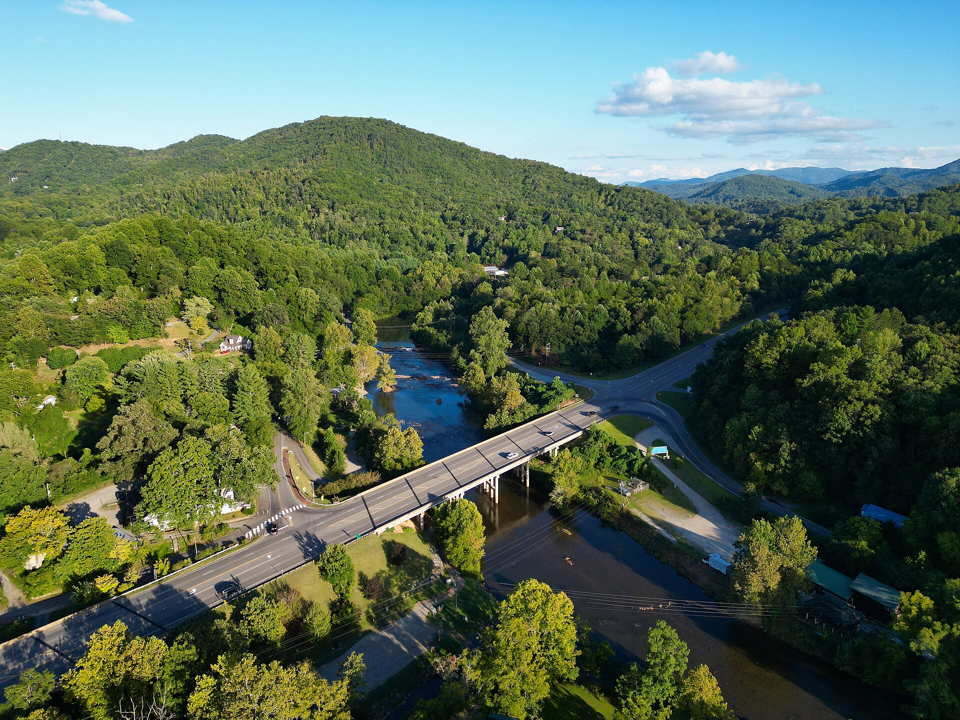
U.S. Route 23 runs approximately 1,300 miles from Jacksonville, Florida through Georgia, North Carolina, Tennessee, Kentucky, Ohio, and Michigan to Mackinaw City. The corridor traverses major Appalachian populations and connects multiple regional centers — Asheville, Knoxville, Lexington, Columbus — but is not designated an Interstate. The route is partially limited-access four-lane through Ohio and parts of Kentucky, but substantial sections remain conventional two- and four-lane highway. The proposed I-66 Appalachian Development Highway System would have addressed part of this corridor as part of a broader Appalachian Regional Commission infrastructure development program. The ADHS has built approximately 86 percent of its authorized 3,090 miles. The U.S. 23 corridor specifically has been deprioritized due to terrain challenges through eastern Kentucky and southern Ohio.
3. U.S. Highway 50 from Sacramento, California to Cincinnati, Ohio
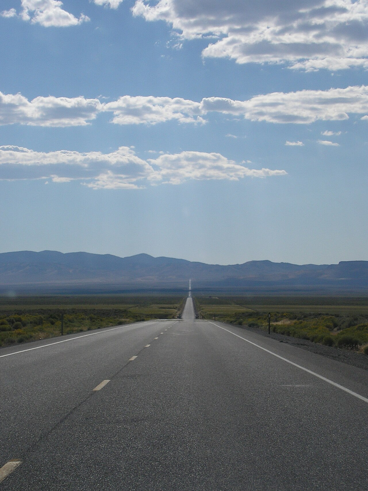
U.S. Route 50 — famously dubbed “The Loneliest Road in America” along its Nevada segment — runs approximately 3,007 miles across the continental United States from West Sacramento to Ocean City, Maryland. The route is the most direct path across the central United States but remains entirely a U.S. highway rather than an Interstate. Several sections are limited-access four-lane (particularly through Missouri, Indiana, and Ohio), but the Nevada and Utah sections include some of the longest stretches of two-lane rural highway in the continental United States. The remoteness of the Nevada segment is part of its identity — the “Loneliest Road” designation produces tourist traffic that would be lost with Interstate conversion — but it also means commercial trucks routing between Sacramento and Salt Lake City typically take I-80 north instead. The corridor will likely remain a U.S. highway indefinitely.
4. U.S. Highway 281 from Wichita, Kansas to McAllen, Texas
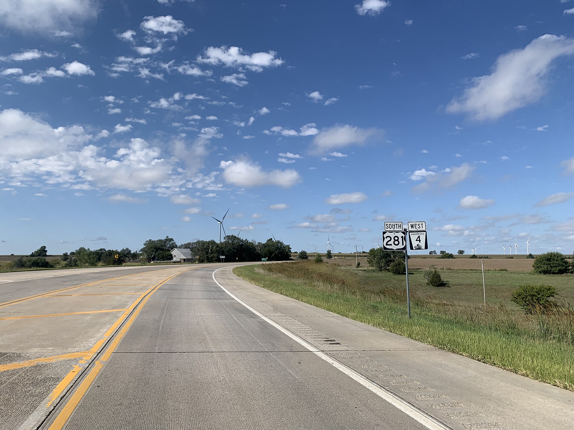
U.S. Route 281 runs approximately 1,872 miles from the U.S.-Canada border in North Dakota to the U.S.-Mexico border at McAllen, Texas — making it one of the longest American north-south U.S. highways. The route traverses the Great Plains through North Dakota, South Dakota, Nebraska, Kansas, Oklahoma, and Texas, connecting smaller regional centers along the way. Most of the corridor remains two-lane rural highway. The route carries substantial agricultural commercial traffic but has consistently lost out in federal Highway Trust Fund prioritization to more populous routes. The proposed Heartland Expressway concept, which would upgrade portions of U.S. 281, has advanced slowly since the 1990s with most of the Nebraska section now four-lane but Kansas and Texas segments still rural. The route is unlikely to become an Interstate in the foreseeable future.
5. The Mobile, Alabama to Atlanta, Georgia Corridor
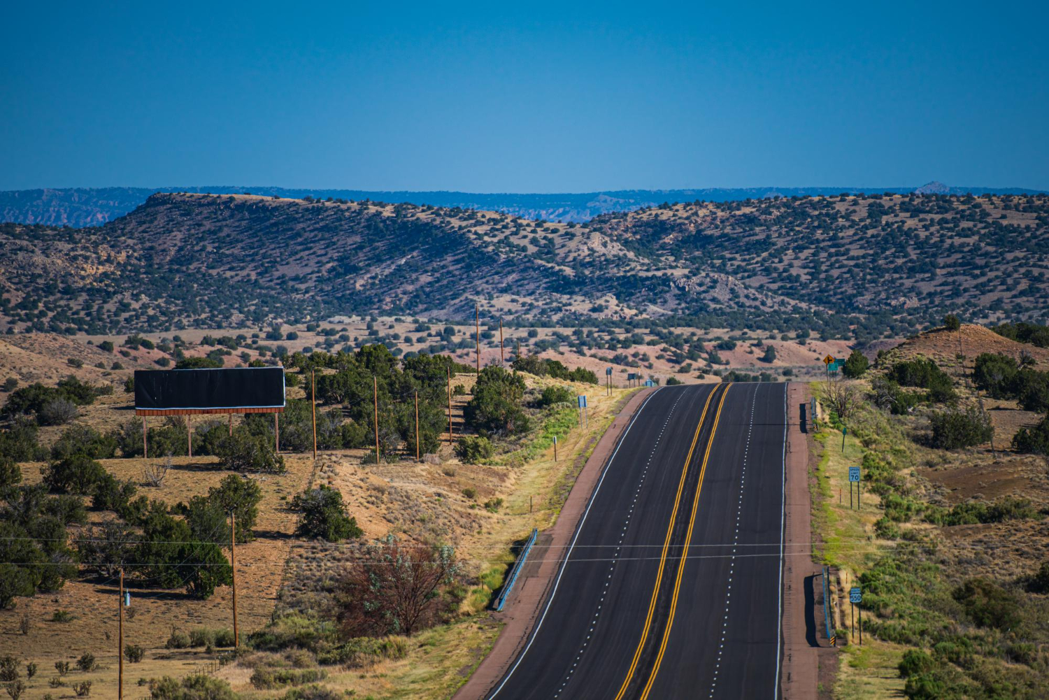
The corridor between Mobile, Alabama and Atlanta, Georgia is currently served by U.S. Route 280 and various secondary routes through eastern Alabama. The corridor lacks an Interstate connection despite running between two major metropolitan areas — Mobile (the only Gulf port city in Alabama) and Atlanta (the largest Southeastern metropolitan area). Traffic between Mobile and Atlanta currently routes via I-65 to Birmingham, then I-20 east to Atlanta — adding approximately 75 miles to the direct distance. The proposed I-85 connector or a new I-X3 designation has been periodically proposed by Alabama and Georgia state planners but has not advanced through federal designation. The corridor would require approximately 250 miles of new Interstate-grade construction at an estimated $8 to $12 billion cost.
Why These Gaps Persist
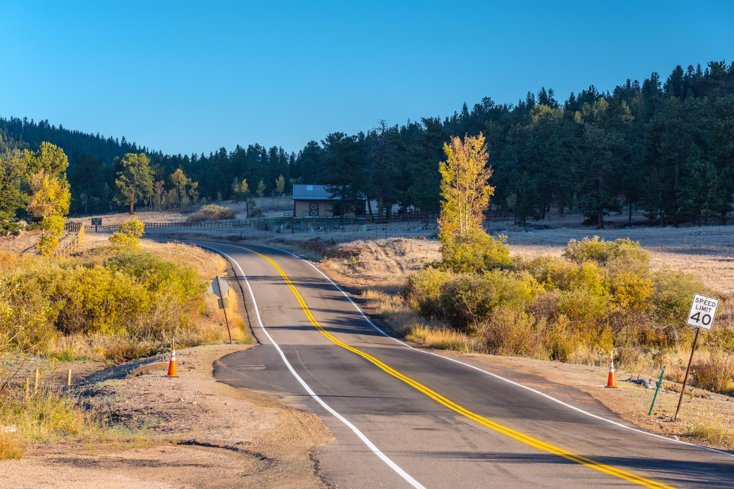
The five corridors above share specific characteristics that explain why they remain U.S. highways rather than Interstates. Each crosses primarily rural areas, meaning the population density does not justify the federal investment under the standard formulas. Each requires multi-state coordination, which substantially complicates federal funding processes. Each competes against urban Interstate expansion and repair projects that produce more votes per dollar for the relevant Congressional delegations. The federal Highway Trust Fund, which provides most Interstate funding, has been chronically underfunded since the 2008 financial crisis and continues to operate with general-fund supplements rather than the original gasoline-tax-funded mechanism designed in 1956. The trust fund’s structural deficit makes new Interstate construction extraordinarily difficult.
What Travelers Should Actually Know

The practical implication for American travelers is that the U.S. highway system — distinct from the Interstate Highway System — remains a substantial transportation network that often offers better routes than the Interstate alternatives for specific trips. Travelers planning long-distance American driving should not default to Interstate-only routing. The U.S. Route 287 corridor through Texas and Colorado, the U.S. 50 cross-country route, and the various Appalachian U.S. highways often produce more interesting and scenic trips than their Interstate equivalents. The trade-off is travel time — the U.S. highways typically run at 55 to 65 mph posted limits rather than the 70 to 80 mph Interstate standards.
For commercial truck planning, the gaps matter substantially more. The absence of Interstate-grade infrastructure on the five corridors above adds operating costs to American supply chains that have been documented in multiple American Trucking Associations reports. The cost impact runs in the billions of dollars annually across the affected commercial routes. The infrastructure gap is therefore not a purely abstract policy issue — it affects American freight costs in measurable ways.
The most likely trajectory for the next 20 years is that one or two of these corridors will eventually receive Interstate designation as state DOT funding combines with federal grants from the Infrastructure Investment and Jobs Act and successor legislation. The most likely candidates are the Ports-to-Plains I-27 extension (Texas to Colorado) and the Mobile-to-Atlanta corridor. The other three are likely to remain U.S. highways for the foreseeable future. The American Interstate Highway System, as designed in 1956 and substantially completed by 1991, is essentially the final national highway network — additional Interstates will be incremental rather than transformative.
Like our content? Follow us for more.