In 1948, the Tennessee Valley Authority closed the gates on Watauga Dam in East Tennessee. Behind the dam, the river rose. By the time it stopped, an entire incorporated town of 600 people, 125 homes, three churches, a hardware store, a hotel, and a high school sat sixty feet below the surface of a new lake. Butler, Tennessee was the only incorporated town ever flooded by the TVA. When the lake was drained in 1983 for dam repairs, the original streets were still there.
1. The Town That Wouldn’t Drown
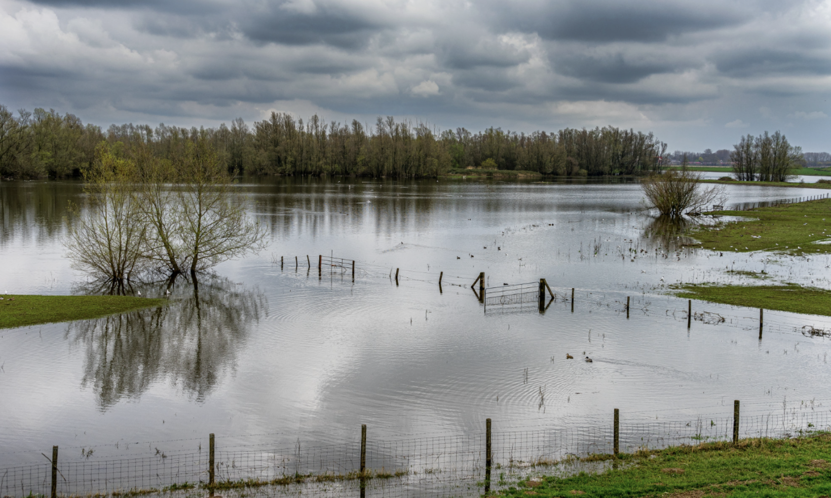
Butler called itself “The Town That Wouldn’t Drown” — a name born from the seven major floods that hit it between 1867 and 1940. The Watauga River sat at the bottom of a narrow Appalachian valley, fed by mountain runoff from the Roan Highlands and the Cherokee National Forest watershed. Floods in 1867, 1886, 1901, 1902, 1916, 1924, and 1940 each rewrote some portion of the town. Houses were rebuilt on the same foundations. Storefronts were dragged out of the mud and reopened. The 1940 flood was the one that broke the pattern — six people died, the railroad to Mountain City washed out, and the federal government decided the river itself was the problem. Butler had survived every flood up to that point. It would not survive the dam built to stop them.
2. The 1940 Flood That Sealed It
On August 13, 1940, the Watauga River rose fifteen feet in two hours after a series of severe mountain thunderstorms drained the slopes above the valley directly into the river. Six people drowned in the immediate flood waters. The Elizabethton-to-Mountain City railroad washed away in several places. Mountain communities downstream — Hampton, Roan Mountain, Carter’s Depot — were also damaged. TVA engineers, who had begun preliminary surveys of the watershed in 1937 as part of the broader regional flood-control mission, concluded that no levee, no wall, and no zoning would protect the valley reliably. The river had to be stopped at the upstream end. The flood-control argument was strong enough that within two years, the TVA Board had approved construction of a major dam on the Watauga and had begun the political process of moving the town that lay directly in the future reservoir’s footprint.
3. The Original Settlement
The town began in 1768, when a Scotch-Irish settler named John Honeycutt built an arbor shelter at the spot where Roan Creek emptied into the Watauga River. The location was already known to Cherokee hunters as a fishing camp. Within a decade, James Millican joined Honeycutt, and other families followed. By 1820, a man named Ezekiel Smith ran a gristmill at the confluence, and the community became known locally as Smith’s Mill. The mill ground corn for farmers across Johnson County and traded with settlers as far as Boone, North Carolina. After the Civil War, residents renamed the town Butler — for Colonel Roderick R. Butler, who had commanded the 13th Tennessee Cavalry for the Union Army during the war and who had represented the area in the state legislature. By 1900, Butler had about 500 residents, a Baptist church, a Methodist church, a Presbyterian church, two general stores, a depot, and Watauga Academy.
4. The Wartime Pause
Construction of Watauga Dam began in early 1942. The site was a narrow gorge upstream of the town, where the river had cut through a hard limestone ridge. Within nine months of breaking ground, the federal government halted the project. Wartime materials, equipment, and labor were redirected to Douglas Dam on the French Broad River and Fontana Dam on the Little Tennessee River, both of which were urgently needed for the Manhattan Project’s plutonium operations at Oak Ridge. Watauga sat on a slower timeline. Butler residents who watched the unfinished concrete piers through the war years began to believe the dam would never be completed. Some sold property and moved on the assumption the project was dead. By 1945, the local belief was that Butler had been spared. When TVA crews returned in March 1946 to resume construction, the town had four years of unrealistic hope to unwind.
5. The Buyout
When TVA resumed construction in 1946, the property buyout began in earnest. The federal government, using its eminent domain authority under the TVA Act of 1933, purchased every property in the floodplain — a total of 12,000 acres affecting 761 families. The buyout was conducted in waves. Farmers received per-acre prices based on agricultural value; town residents received per-property assessments based on improvements. On September 6, 1947, the TVA closed on the town of Butler itself, including the city hall, the jail, and the streets, for a total price of $35,000. One Butler resident told a Knoxville News-Sentinel reporter that “the next mayor of Butler will be a catfish.” The quote was reprinted across newspapers in the South and became the most-quoted line of the entire relocation effort. Local memory holds that the speaker was a former Watauga Academy teacher named C.B. Russell, though the original byline did not name him.
6. The Houses That Moved

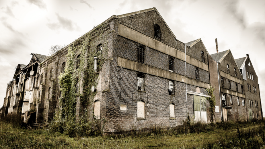
Five contractors specialized in moving entire houses across the southeastern United States, and TVA hired four of them to handle Butler. Between 1946 and the end of 1948, those contractors hoisted 125 residences and 50 businesses onto rolling timbers and transported them up the mountain to higher ground at a planned community originally called Carderview. The work was visible from the bluff above the valley, and Butler residents would gather to watch their neighbors’ houses inch up the road. One family reported sleeping in their house on a Monday night, having it moved Tuesday morning, and sleeping in it again Tuesday night — with the refrigerator still cold and the ice in the trays unmelted. Several of the relocated buildings still stand today in modern Butler. The original Watauga Academy was not moved; it was demolished in 1948 after a successful campaign by graduates failed to identify a financially viable destination.
7. The Cemetery Relocations

More than 20,000 graves were exhumed and relocated across all TVA reservoir projects between 1933 and 1960. At Butler, the cemetery relocations took most of 1947. Family members had to identify remains, sign forms, and pay nothing — the federal government covered every cost, including the new headstones, new markers, and reinterment ceremonies. The work was undertaken with surprising care. Local funeral homes coordinated the schedule with descendants, and Lutheran, Baptist, and Methodist clergy were brought in to perform reburial services at the new cemetery sites. Some graves were unmarked or held remains of unknown identity. Those were grouped and moved together to a section of the relocated cemetery designated for unknown burials. Photographs at the Butler Museum today show coffins being lifted out of fresh-cut graves under heavy gray skies. The 1947 relocations remain one of the most documented mass cemetery moves in American history.
8. The Gates Close
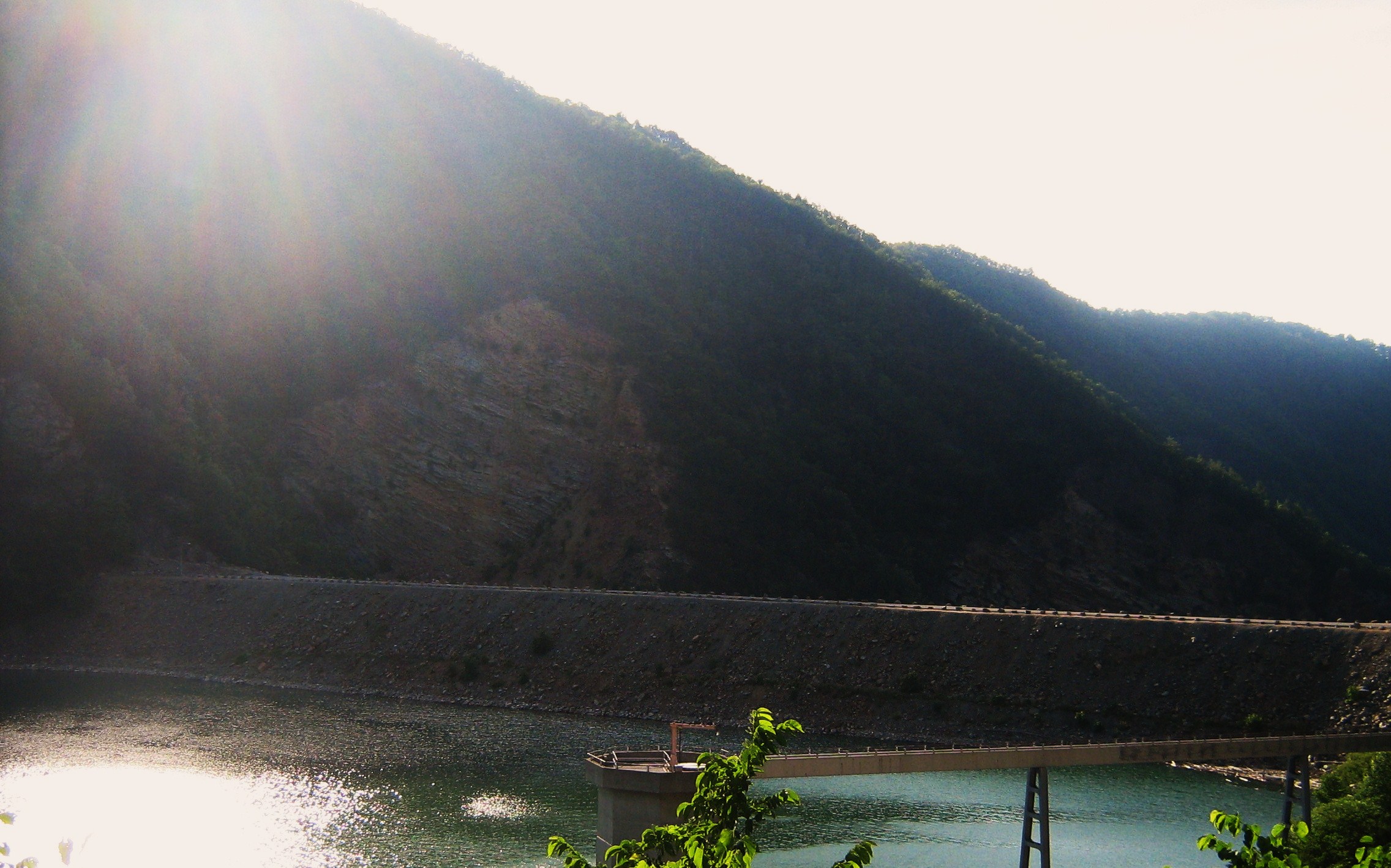
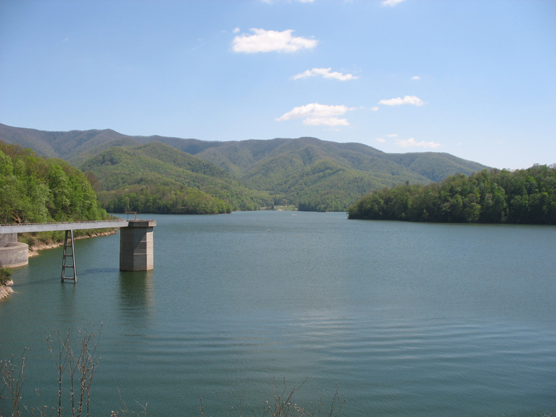
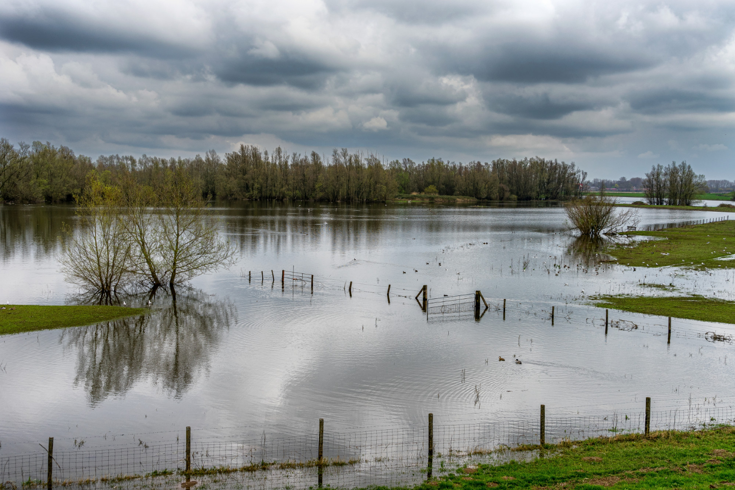
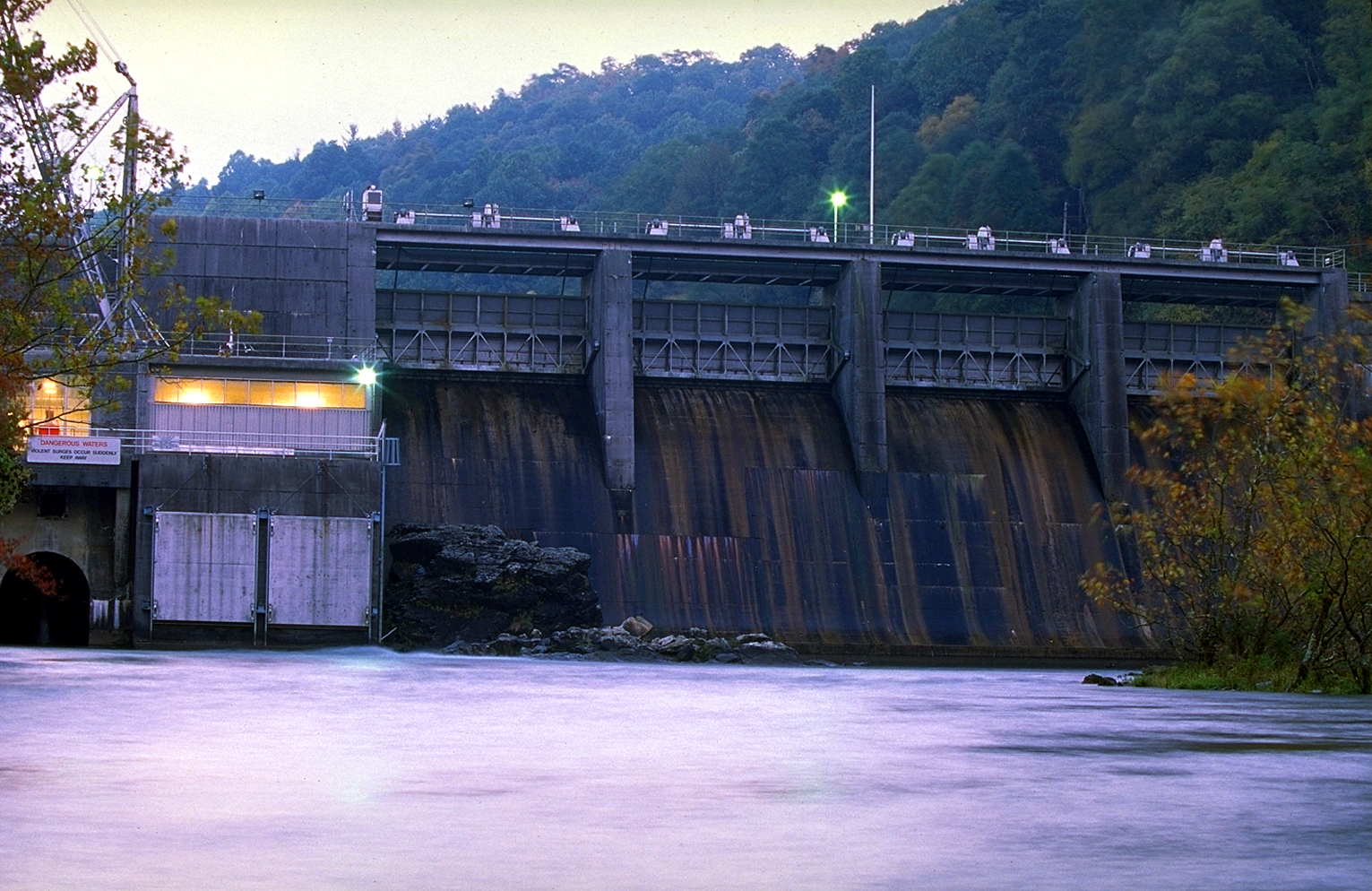
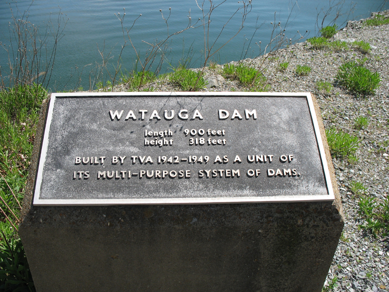
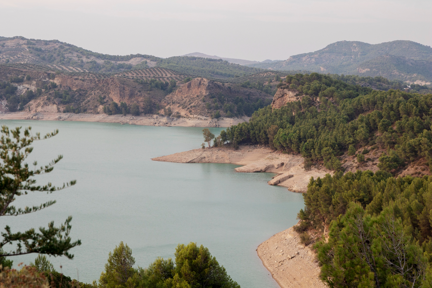
On December 1, 1948, the TVA closed the gates of Watauga Dam. Water began to rise behind the 318-foot rock-and-earth structure — at the time, the highest dam of its kind ever built anywhere in the world. The dam’s core was 1,484,700 cubic yards of compacted clay, surrounded by 2,000,000 cubic yards of rock fill on each side, terraced in steps to manage the water pressure. The original Butler — main street, schoolhouse, post office, Baptist church, train depot, the W.S. Stout Store at the center of town — slowly submerged over the following four months. By the spring of 1949, the lake had reached its full elevation of 1,975 feet above sea level. Watauga Reservoir is now sixteen miles long with 109 miles of shoreline, and it remains the highest reservoir in the entire TVA system. The original Butler townsite sits roughly sixty feet below the surface at the lake’s deepest section near the dam.
9. The Town Above
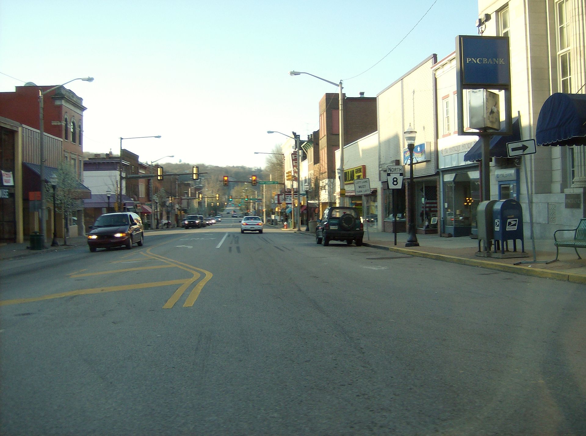
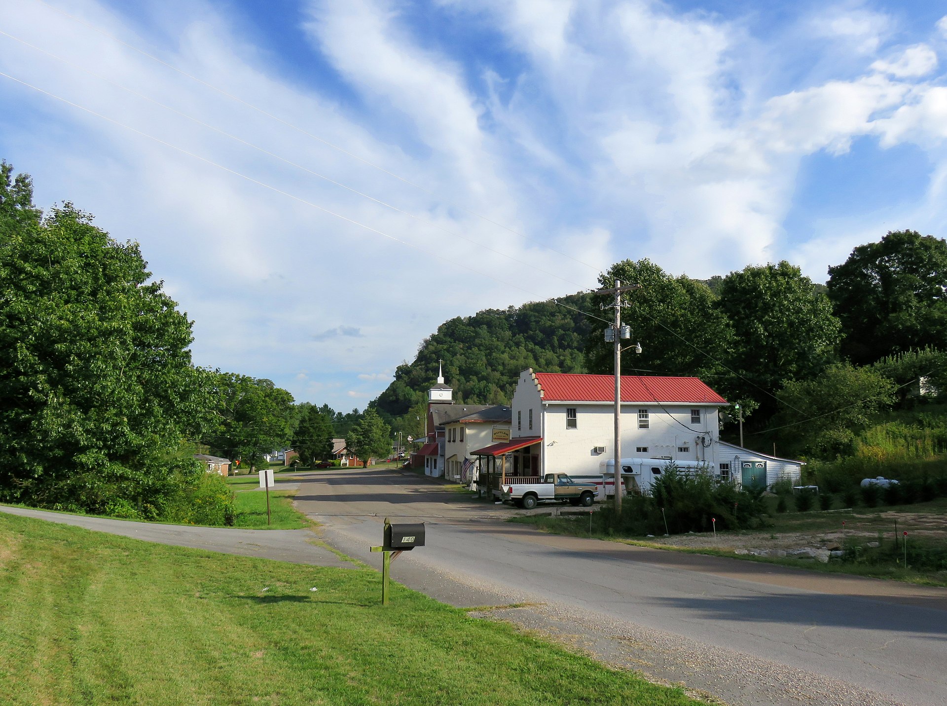
Butler’s relocated residents rebuilt on higher ground in the planned community that had been mapped out by TVA and the Tennessee State Planning Commission in 1946. The new town was originally named Carderview, after a TVA engineer named Carder who had supervised the relocation effort. Residents, however, voted within a few years to take back the old name. The new Butler still stands today as an unincorporated community of about 300 people in Johnson County. The Butler Museum, located near Highway 67, was established in 1992 by a non-profit corporation formed by former Old Butler residents and their descendants. The museum houses photographs, salvaged furniture, pieces of the original general store, the W.S. Stout Store laid out as it appeared in Old Butler’s heyday, and personal artifacts donated by families across three generations. The museum draws about 4,000 visitors per year.
10. The Drain of 1983
In 1983, the TVA partially drained Watauga Lake to inspect the dam’s spillway and downstream structures. For several weeks during the late summer, the original streets of Old Butler reemerged from the mud at the bottom of the receded reservoir. Locals and former residents walked the foundations. Sidewalks, the train depot platform, stone steps from the Methodist church, and a few intact iron fence sections were visible above the silt. Lynn Farmer, whose mother and great-grandmother had both been Old Butler residents, was one of the people who walked the streets in 1983. She told WJHL News in 2018 that the experience was “like a year-long funeral all over again.” Divers from the Tennessee Aquarium and amateur historians have continued to map the underwater site in the decades since, using sonar and submersible cameras to document foundations, roads, and structures still recognizable on the lakebed.
11. The Artifacts That Came Back
Items recovered during the 1983 draining now sit in the Butler Museum: pieces of the original post office counter, a barbershop chair from the Lipford barbershop, the metal frame of the W.S. Stout Store sign, parts of the original schoolhouse blackboard, several intact iron stoves, and a brass bell from the Methodist church. The museum also holds dozens of personal photographs of the relocation effort itself, donated by descendants of TVA workers and Butler residents. Several intact graves were also relocated late in 1983 after the 1948 deadline had already passed — three coffins emerged from the mud where they had apparently been missed or unknown during the original 1947 relocations. Those remains were reinterred at the new cemetery with full ceremonies. The TVA contributed funding for the late reinterment work as a quiet acknowledgment of the original effort’s gaps.
12. What Butler Means Today
Butler is one of dozens of American towns deliberately flooded by federal water projects between the 1930s and 1960s. The Army Corps of Engineers and the TVA together buried hundreds of communities under reservoirs from Tennessee to Texas. Loyston, Tennessee. Maxie, Tennessee. Spencer, Tennessee. North Bend, North Carolina. Williamsville, Pennsylvania. Eight named communities lie under Norris Lake alone. Butler is unusual in only one respect — its surviving residents preserved enough of the original town’s records, furniture, and artifacts to make it the best-documented drowned community in the entire American South. The Butler Museum and the photographs taken during the 1947-1948 relocation effort survive as a kind of accidental archive of a federal infrastructure program that, in the name of progress, erased hundreds of small American places. The town that wouldn’t drown eventually did. The town’s memory has not.