
Driving from New York to Disney World in 1985 required substantially different skills than the same trip in 2026. AAA TripTik routings. Paper road maps unfolded across passenger laps. Stopping at gas stations to ask directions. The constant search for next exits with food and fuel. The whole infrastructure of pre-GPS American road travel has substantially disappeared within one generation. The specific rituals families practiced for decades — and the specific frustrations that defined road trip culture — exist now mostly as nostalgic memory. Here’s what’s actually been lost.
The American road trip experience has been transformed substantially since GPS navigation became widely available in cars (Garmin’s first portable GPS units in 2002-2005, then progressive integration into cars and smartphones). Families taking road trips before GPS used specific techniques and tools that have substantially disappeared. The transformation has produced both substantial benefits (fewer wrong turns, less family fighting about directions, better arrival times) and specific losses (less serendipitous discovery, reduced map literacy, weaker sense of geography). Walking through the actual pre-GPS road trip ritual reveals how dramatically American family travel has changed.
The AAA TripTik Phenomenon

For decades, American families planning road trips visited their local AAA office to obtain custom-routed TripTiks — spiral-bound flip-page route guides showing turn-by-turn directions for specific journeys. AAA staff would sit with members at counters, identify destinations, and create custom routings using physical maps and route-planning expertise. The TripTik would be ready for pickup days later, providing detailed routing including specific highways, mileages, recommended stops, and various other information.
The TripTik was AAA’s signature member service for generations. Families relied on these custom routings as authoritative travel guides. The format — spiral-bound pages showing strip maps with specific routings highlighted in yellow marker — became iconic American road trip equipment. By the 2010s, AAA had essentially discontinued the traditional TripTik service in favor of digital routing through TripTik mobile apps. The physical custom-routed paper TripTik that defined family road trips has substantially disappeared.
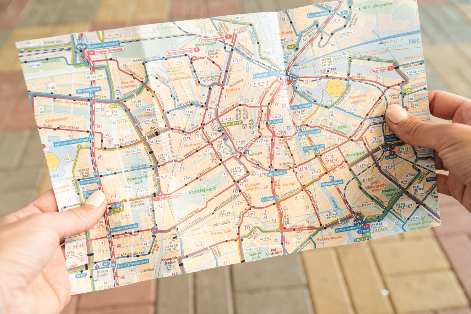
The Paper Road Maps
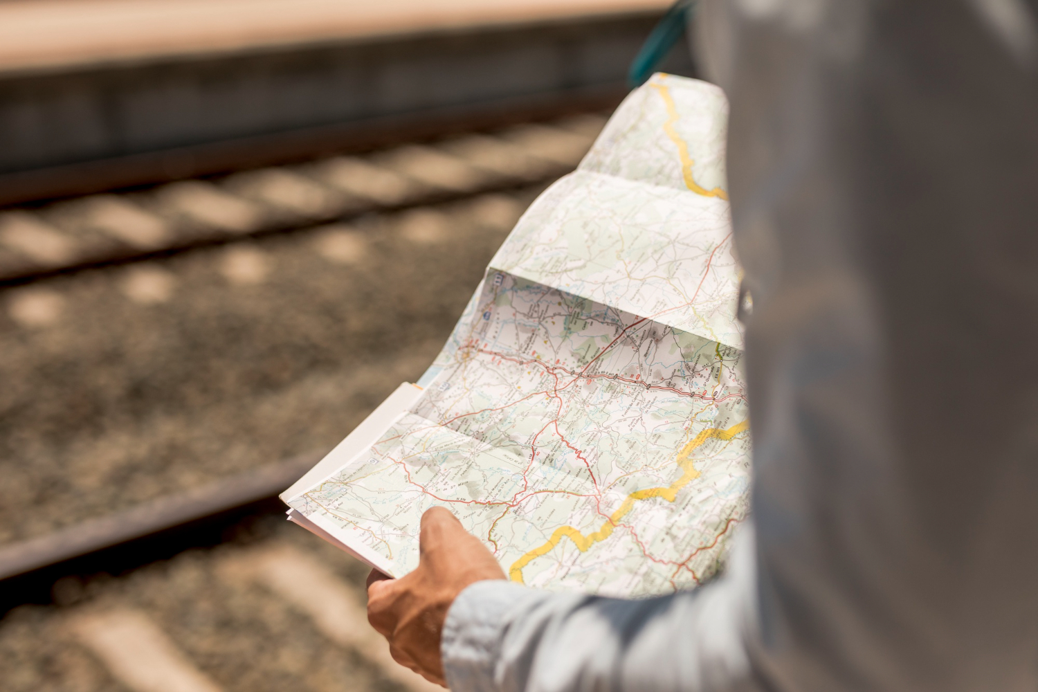
Beyond AAA TripTiks, American families maintained substantial collections of paper road maps. State maps for any state likely to be visited. Regional maps covering multi-state areas. City maps for specific destinations. Specialty maps showing scenic routes, historical sites, or specific attractions. The maps came from various sources: gas stations (free maps were standard customer service through the 1970s-80s), AAA membership benefits, state tourism offices, and various commercial publishers.
The paper maps required specific skills to use effectively. Map reading is a learned skill — interpreting symbols, calculating distances, planning routes, and orienting yourself relative to your current position requires practice. Pre-GPS Americans developed substantial map literacy through routine use. Modern Americans typically lack equivalent skills because GPS provides answers without requiring map interpretation. The cumulative loss of map literacy across one generation has been substantial.
The Family Map-Reader Position
In typical pre-GPS American family road trips, the front passenger served as the official navigator — responsible for reading the map, calling out upcoming turns, and managing routing decisions. Children often learned navigation as future drivers by sitting in the passenger seat during family trips and watching the navigation process. The role required specific combination of skills: spatial reasoning, time estimation, attention management, and various other capabilities.
The navigator role created specific family dynamics. Disagreements between drivers and navigators about routing decisions were genuinely common. “We should have turned back there” arguments produced family conflicts that GPS systems have largely eliminated. The specific stress of getting lost while a passenger insisted you weren’t lost defined many family road trip memories. Modern navigation systems eliminate the disagreement basis but also eliminate the cooperative skill development that defined pre-GPS family travel.
Asking for Directions at Gas Stations

The fundamental backup when family map-reading failed was asking for directions at gas stations. Local gas station attendants typically knew the surrounding area thoroughly and could provide useful directions to almost any destination. The specific ritual involved: parking somewhere visible, walking into the gas station, asking the attendant for directions, listening carefully to the response, often writing down key points, and sometimes purchasing a soda or snack to acknowledge the help.
The practice required specific social skills. Approaching strangers for help, communicating destinations clearly, listening to local guidance, and managing the social transaction. Some travelers found the practice uncomfortable and avoided it; others enjoyed the brief social interactions. The practice has substantially disappeared. Modern travelers rarely need to ask gas station attendants for directions, and gas station staff often lack local knowledge that previous generations possessed.
The Constant Exit Sign Watching

Pre-GPS road travel required constant attention to exit signs and roadside information. Drivers and passengers watched continuously for: exit numbers (to identify upcoming turns), service signs indicating gas/food/lodging at upcoming exits, advance warning signs about lane changes, mileage markers indicating distance to destinations. The constant attention was genuinely tiring on long trips.
The fundamental information had specific structures. Service signs typically showed which restaurants, gas stations, and motels were available at each exit. Lane closure warnings appeared multiple miles in advance. Distance signs at regular intervals helped track progress. The whole roadside information system was designed to support long-distance travelers without electronic navigation. Modern travelers have largely stopped paying attention to this information because GPS systems have substantially replaced its function. Some traditional roadside information has been reduced or simplified as drivers no longer rely on it.
The “Are We There Yet?” Children Question

The signature pre-GPS road trip question — children asking “Are we there yet?” repeatedly — reflected specific informational asymmetry. Children couldn’t easily determine remaining trip distances themselves. Maps required interpretation skills children typically lacked. Time estimation required experience. The question was asking parents for information children couldn’t access independently.
Modern children can typically check GPS estimates themselves. The “Are we there yet?” question has become substantially less common because children have direct access to remaining-time information. Various other family travel dynamics have also shifted as children have more independent access to travel information than previous generations possessed. The specific frustration of children repeatedly asking unanswerable questions about remaining trip time has substantially disappeared from American family travel.
The Roadside Restaurant Selection Process

Pre-GPS travelers selected restaurants through specific processes involving service signs at exits, recognized chain identification, and sometimes spontaneous selection of unfamiliar establishments. The visible-from-highway restaurant chains (McDonald’s, Burger King, Dairy Queen, various others) succeeded partly because their highway visibility made them obvious choices for travelers who couldn’t research alternatives. Specific chains spent substantially on highway-visible signage as essential marketing.
Modern travelers can research restaurant options before exits, read reviews, identify specific dishes, and make informed choices about where to stop. The information advantage has substantially affected which restaurants travelers visit. Highway-visible chains have lost some competitive advantage as travelers can identify better local alternatives through online research. The traditional roadside dining culture — eating at whatever happened to be at the next exit — has substantially diminished as travelers exercise more informed choice.
The “Where Are We?” Family Discussion

Pre-GPS road travel routinely produced moments where families genuinely didn’t know exactly where they were. Highway construction had altered planned routes. Wrong turns had taken families onto unfamiliar roads. Various other factors produced uncertainty about current position relative to maps and intended routes. The “where are we?” discussions involved everyone in the car attempting to identify location through various clues: visible landmarks, road signs, passing town names, and various other information.
The discussions produced specific family bonding. Solving the location puzzle together created shared experience. The eventual discovery of position — through finding a useful sign, asking someone for help, or recognizing a landmark — produced specific satisfaction that GPS-guided travel cannot replicate. The whole “we don’t know exactly where we are but we’re not lost” experience has substantially disappeared from American family travel because GPS systems eliminate the underlying uncertainty.
What This All Reveals

The pre-GPS road trip required specific skills, generated specific family dynamics, and produced specific experiences that have substantially disappeared from modern American family travel. GPS navigation provides clear benefits — better arrival times, fewer wrong turns, reduced family conflict about directions, more efficient travel generally. But specific things have been lost: navigation skill development, serendipitous discoveries from wrong turns, social interactions with locals at gas stations, geography knowledge from active map reading, family cooperation around shared navigation challenges, and various other elements. The trade-off is real on both sides. Modern American children have substantially less geographic knowledge than their parents possessed at equivalent ages. They’ve also wasted substantially less time on wrong turns and family arguments about directions. Whether the change represents progress or loss depends on specific values about what travel should accomplish. The pre-GPS American road trip — with its TripTiks, paper maps, gas station direction-asking, and constant exit sign watching — represents a specific cultural moment in American transportation that exists now mostly as memory among adults old enough to have experienced it firsthand. Children who’ve grown up with GPS often find descriptions of pre-GPS travel almost incomprehensible — the casual reliance on stranger help, the constant uncertainty about location, the specific cooperative skills required. Both versions of American road travel have produced family memories. The pre-GPS version is genuinely gone for almost everyone except people deliberately choosing to travel without modern technology.