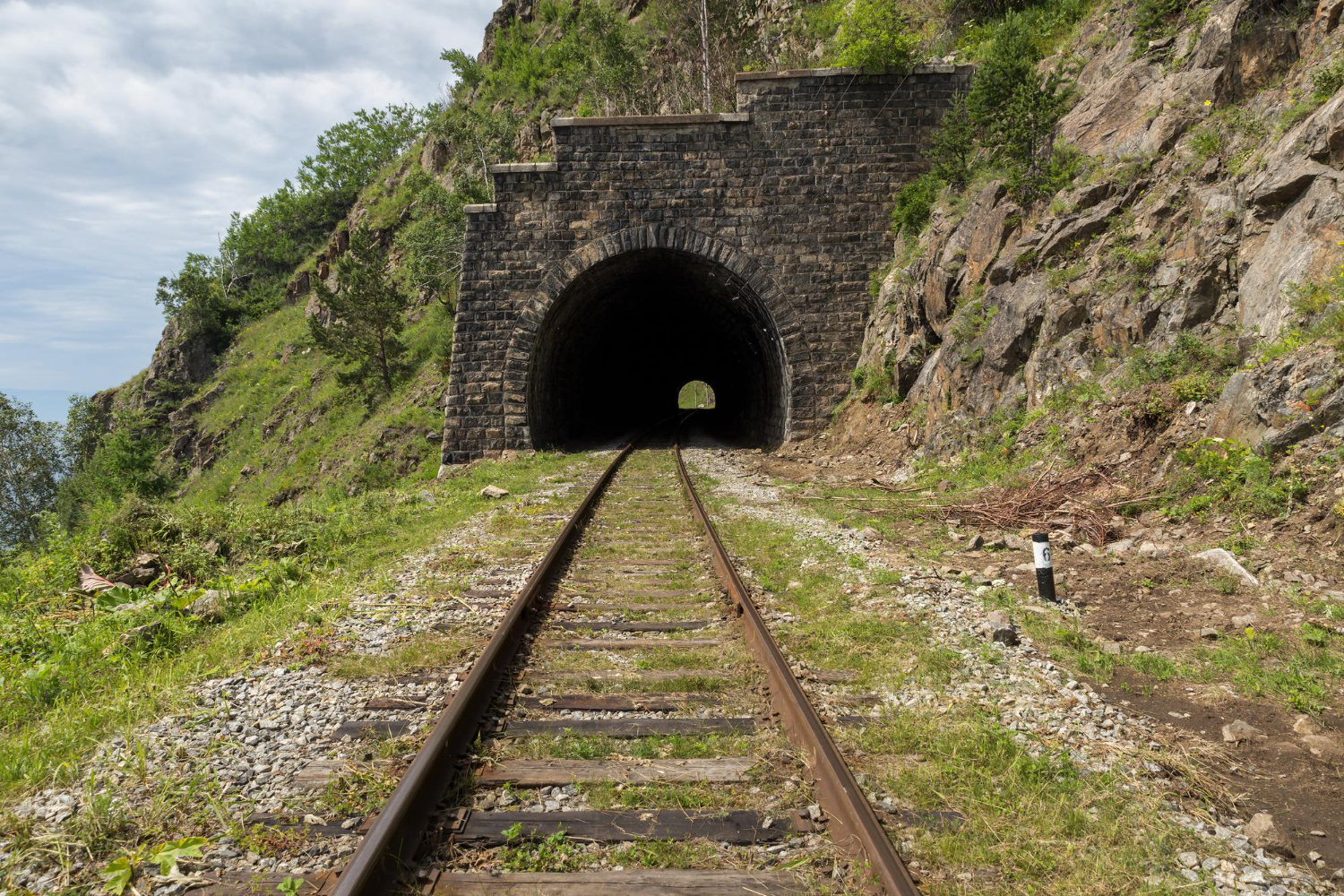
The gradient is the point. Railways were engineered to keep climbs gentle, which means a converted line is walkable and cyclable by almost anyone regardless of the terrain it crosses. Here are fifteen.
1. The Otago Central Rail Trail, New Zealand
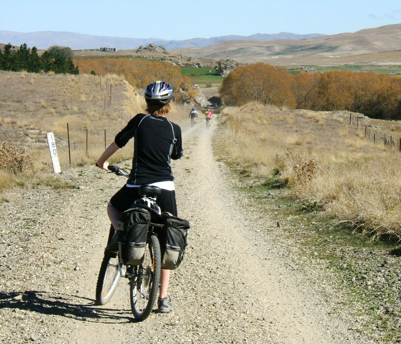
A long route through the interior of the South Island, crossing high country on a former branch line with viaducts and tunnels intact.
It was among the earliest large-scale conversions and became the template for others. The Otago trail is the disused railway that showed a country what a rail trail could be.
Like our content? Follow us for more.
2. The Via Verde Network, Spain
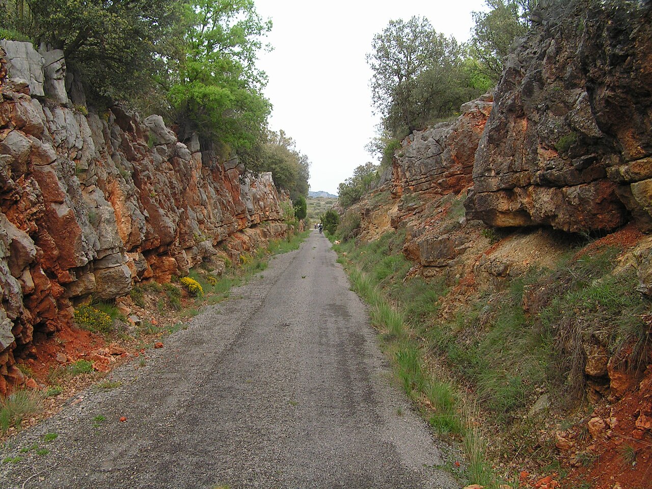
A national programme converting hundreds of kilometres of abandoned lines into signed walking and cycling routes, many with restored station buildings serving as cafes and accommodation.
The scale is unusual – this is a coordinated network rather than isolated local projects. The Spanish greenways are the disused railways treated as national infrastructure.
3. The Parenzana Trail, Croatia, Slovenia and Italy
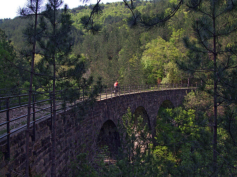
A former narrow-gauge line running through three countries along the Istrian coast and hills, with tunnels and viaducts along the route.
Crossing borders on a former railway is an unusual experience in itself. The Parenzana is the disused railway that connects three countries on foot.
4. The High Line, New York, USA
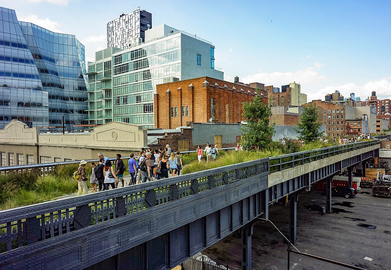
An elevated freight line through Manhattan, converted into a linear park rather than a transport route, planted with vegetation of the kind that colonised it while derelict.
It is the most influential railway conversion anywhere and prompted a great many imitators. The High Line is the disused railway that became a garden above a city.
5. The Camel Trail, England
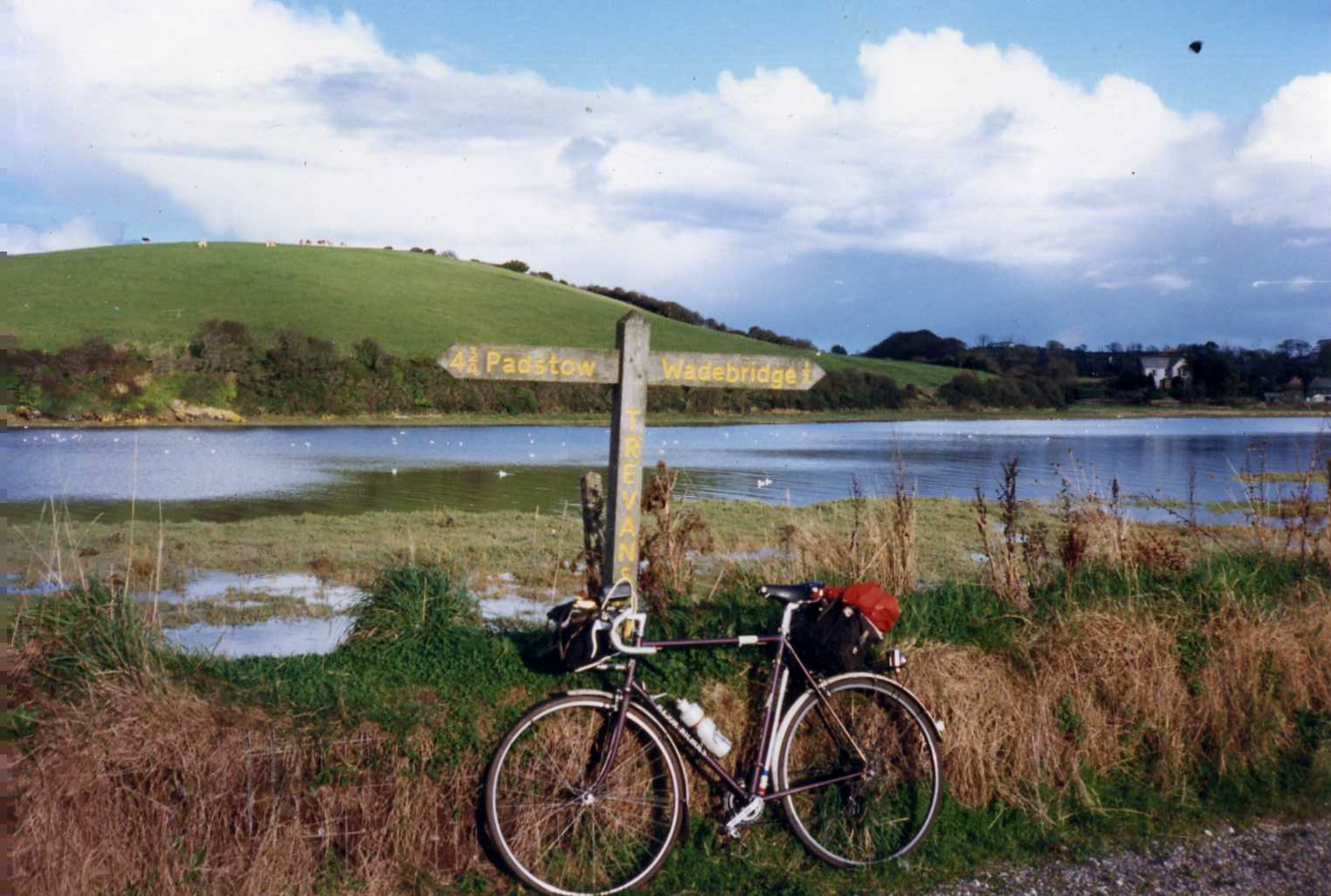
A route along a former line following an estuary and a river valley in the south-west, almost entirely level and largely traffic-free.
It is one of the most used recreational routes in the country. The Camel Trail is the disused railway that follows the water the whole way.
6. The Great Allegheny Passage, USA
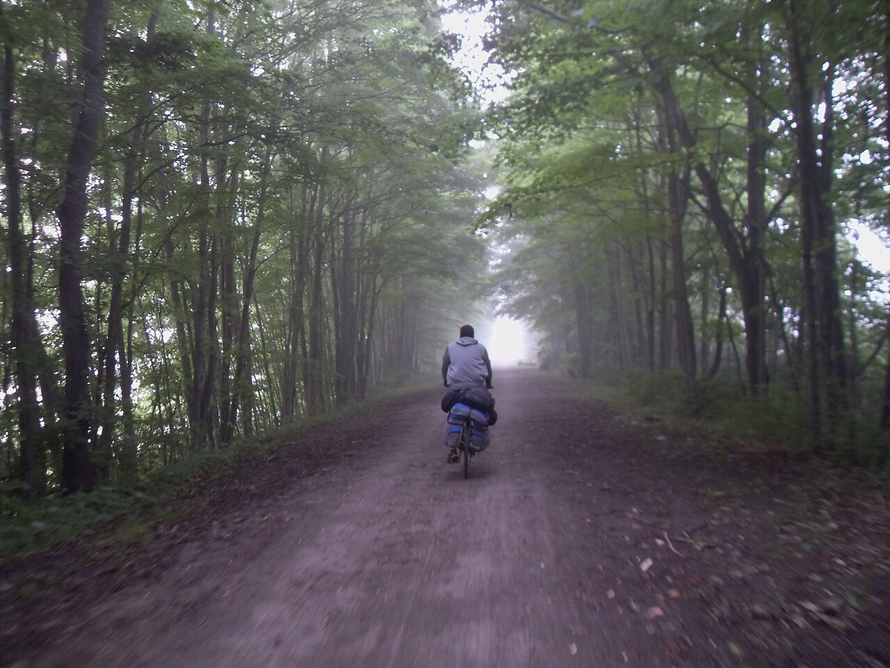
A long-distance route on former rail lines through mountains, connecting with a canal towpath to form a continuous corridor of several hundred miles.
The rail engineering makes a mountain crossing gentle enough for a loaded touring bicycle. The Allegheny passage is the disused railway that crosses mountains without a serious climb.
7. The Ciclovia dell’Olio and the Italian Ferrovie Dismesse
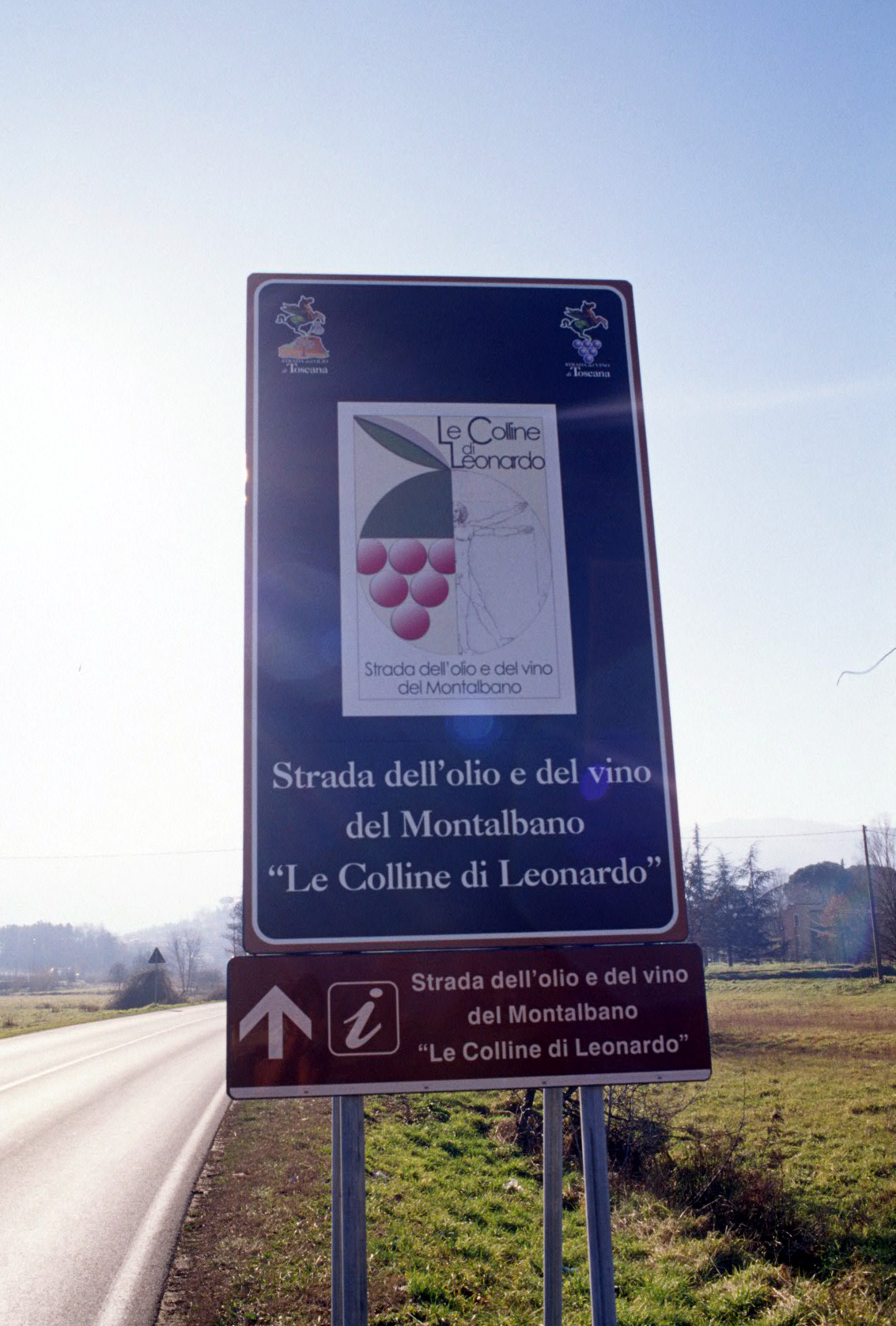
Italy has converted numerous abandoned lines into cycle routes through agricultural country, frequently linking small towns that lost their rail service.
Several pass through wine and olive-growing regions. The Italian converted lines are the disused railways that reconnected towns the closures had isolated.
8. The Vennbahn, Belgium and Germany
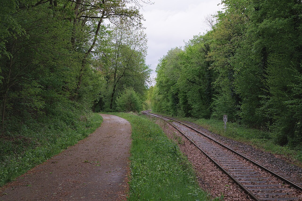
A route on a former line running through forest and moorland along a historic border, with sections where the trail itself is a territorial oddity.
The border arrangement along the old railway corridor is truly unusual. The Vennbahn is the disused railway whose route is a geographical curiosity in its own right.
9. The Monsal Trail, England
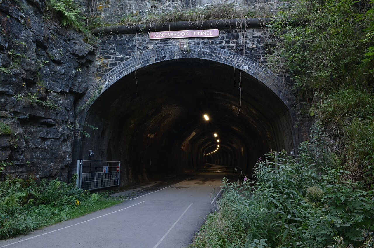
A route through a limestone dale using several long tunnels reopened for walkers and cyclists after decades sealed shut.
The tunnels are lit and are the reason most people come. The Monsal Trail is the disused railway where the tunnels are the attraction.
10. The Petite Ceinture, Paris, France
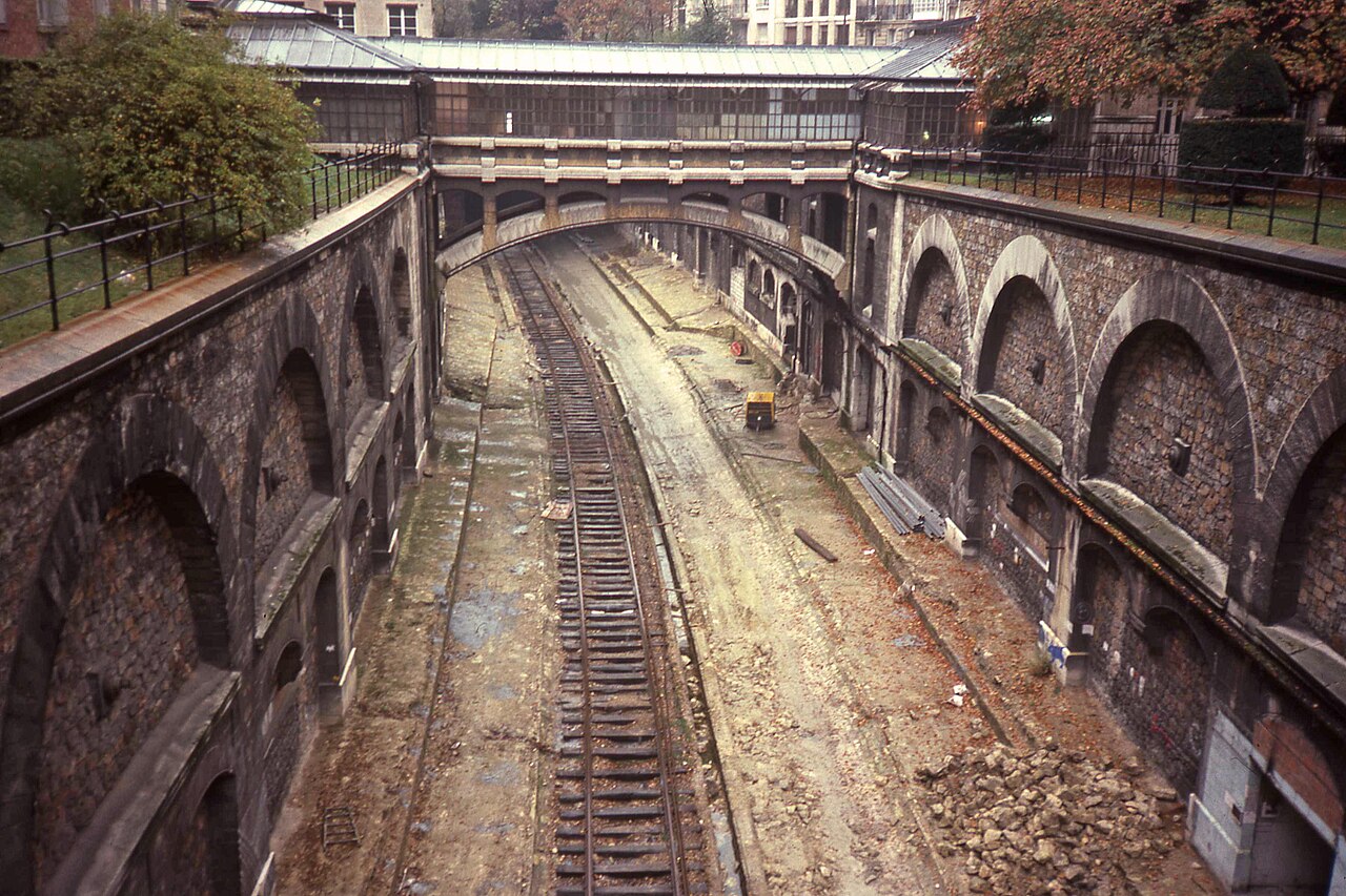
A former circular railway around the inner city, partly reclaimed as walking sections and partly left overgrown, running through cuttings below street level.
It is a strange, quiet corridor inside a very large city. The Petite Ceinture is the disused railway hidden inside a capital.
11. The Rail Trails of Victoria, Australia
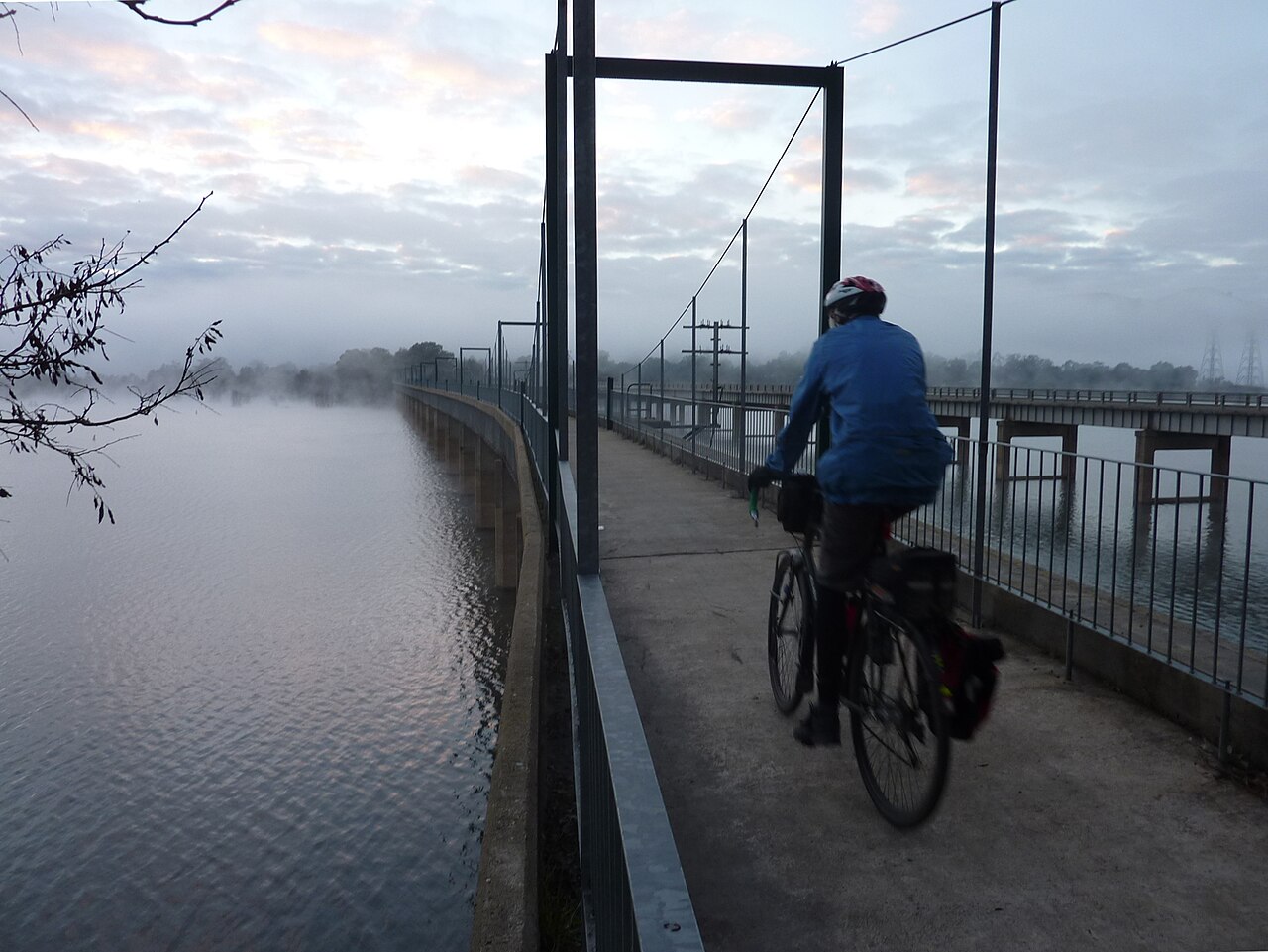
A substantial network of converted lines across the state, running through farmland, forest and old goldfields towns.
Many pass through settlements whose economies were built around the line that has gone. The Victorian rail trails are the disused railways that trace an older economic map.
12. The Danube Cycle Path Sections and the Central European Conversions
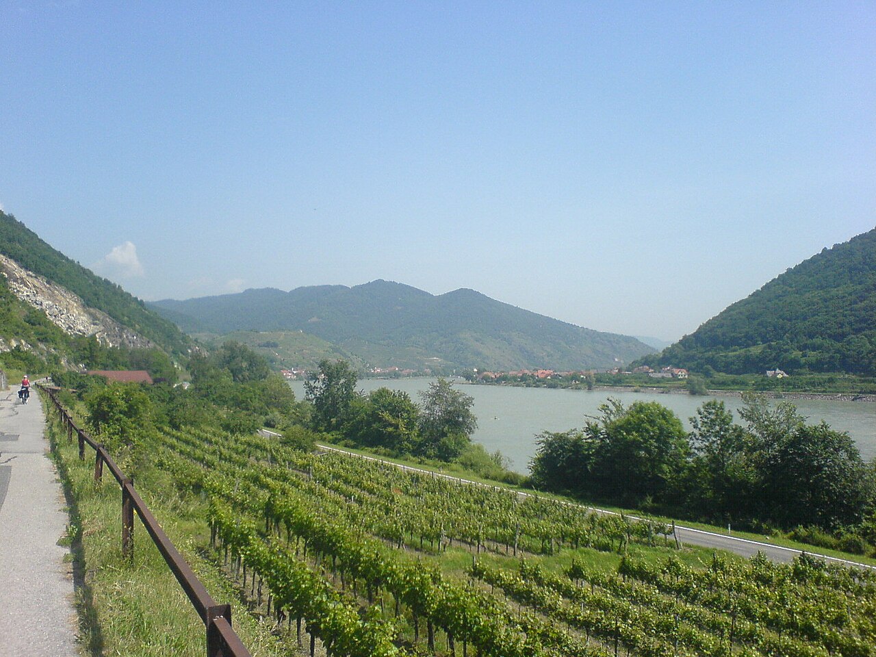
Several central European countries have converted disused lines into long-distance routes, frequently linking into larger river-based cycling networks.
The combination of former railway and river towpath produces very long flat corridors. The central European conversions are the disused railways that plug into something bigger.
14. The Trans Canada Trail Rail Sections
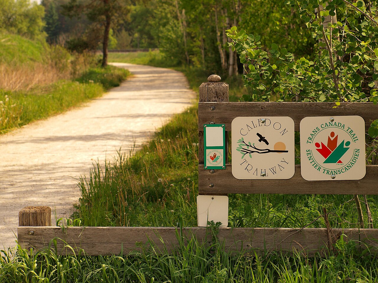
Long stretches of a national trail system use former railway corridors across prairie and forest, in some places running for enormous distances in near-straight lines.
The straightness is a legacy of railway surveying across flat country. The Canadian rail sections are the disused railways that go furthest without turning.
15. The Waterford Greenway, Ireland
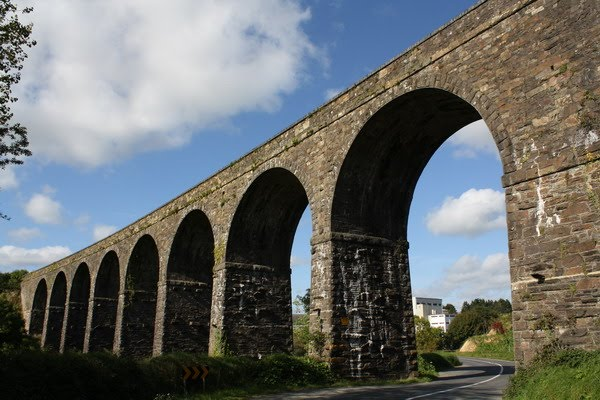
A route on a former line running between a city and the coast, crossing viaducts and passing through a long tunnel, entirely separated from roads.
It transformed visitor numbers along its length within a few years of opening. The Waterford Greenway is the disused railway that changed a region’s economy after the trains had gone.
Built for Freight, Kept for Everyone
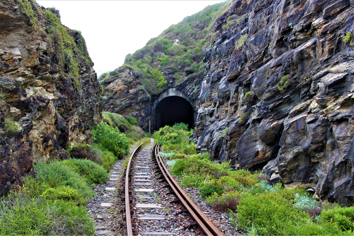
Every route here exists because someone engineered a nearly level corridor through difficult country, and because when the trains stopped, the tunnels, cuttings and viaducts were still perfectly good.
Practical notes: surfaces vary from sealed tarmac to loose gravel, some tunnels are unlit or closed seasonally, several routes have limited facilities over long stretches, and access at either end frequently requires planning since the stations that served them are gone. Check the current condition and the transport at both ends before setting out.
Like our content? Follow us for more.