The useful question at any causeway is what it is crossing, because the answer determines whether it is always there, sometimes there, or being maintained against something actively trying to remove it. Here are fourteen.
1. The Tidal Crossing
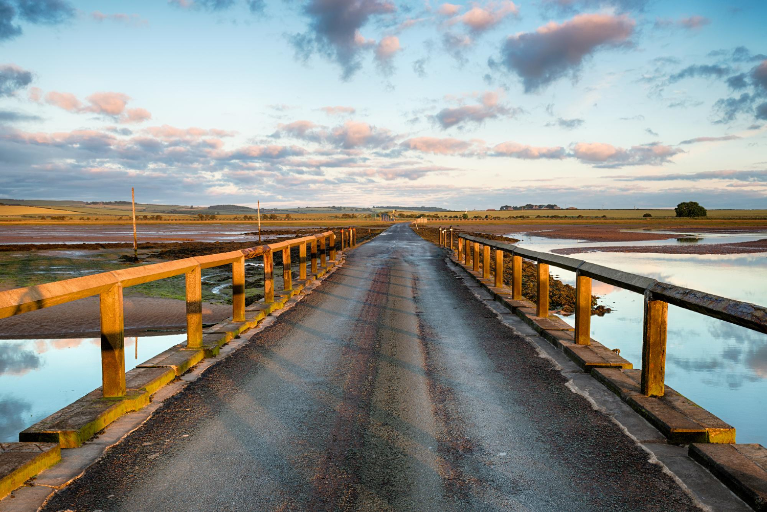
A route across sand or mud that is dry at low water and submerged at high, so it exists for a few hours either side of low tide and not otherwise.
The crossing window is published locally and is not a suggestion. The tidal causeway is the road with an opening and closing time.
Like our content? Follow us for more.
2. The Refuge on Stilts
Tidal crossings frequently carry a raised box or platform partway along, built specifically for anybody who has misjudged the tide and cannot continue or return.
Their existence tells you how often it happens. The refuge is the fitting that exists because the crossing catches people out.
3. The Marker Posts
Lines of posts mark the safe route across flats where the surface offers no other guidance and where leaving the line means soft ground.
They have guided crossings for centuries in some places. Marker posts are the infrastructure that makes an invisible route followable.
4. The Natural Sand Link
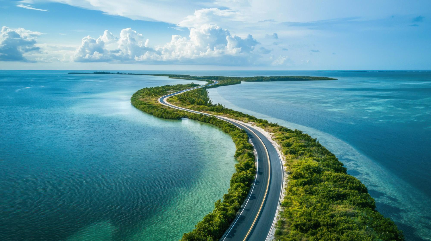
Where longshore drift builds a bar between the mainland and an island, a causeway forms without anybody constructing it, and may be permanent or may come and go.
The sea built it and the sea maintains it. The natural causeway is the crossing nobody paid for.
5. The Embankment Across Soft Ground
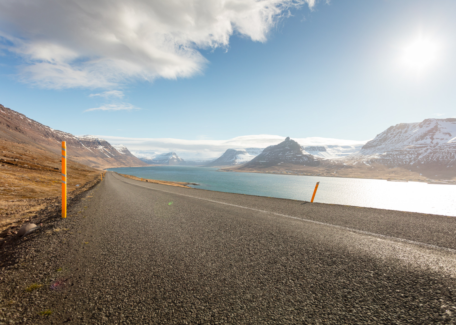
Where the difficulty is marsh, bog or floodplain rather than depth, a raised bank of stone and earth carries the route above ground that will not bear weight.
The engineering is about bearing rather than about water. The embanked causeway is the crossing built for mud rather than sea.
6. The Route to Somewhere Deliberately Hard to Reach
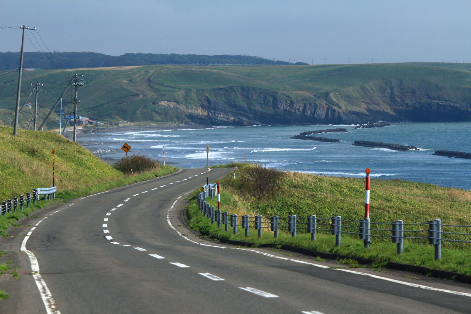
A number of causeways lead to sites chosen precisely because they were difficult to get to – islands used for retreat, defence or separation.
Building a road to them partly defeats the original point. The access causeway is the crossing that undid the reason the site was chosen.
7. The Stone Track Across the Mud
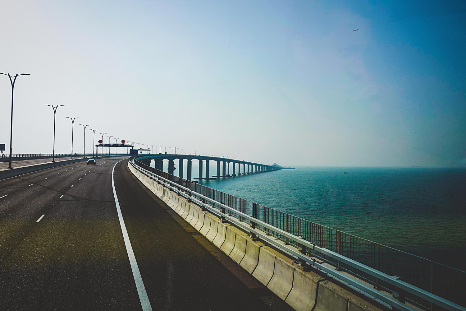
Ancient crossings laid with stone or timber over tidal flats have carried routes for centuries and are still walkable in places.
They predate any road on either shore. The historic causeway is the crossing older than the settlements it connects.
8. The One That Carries a Railway
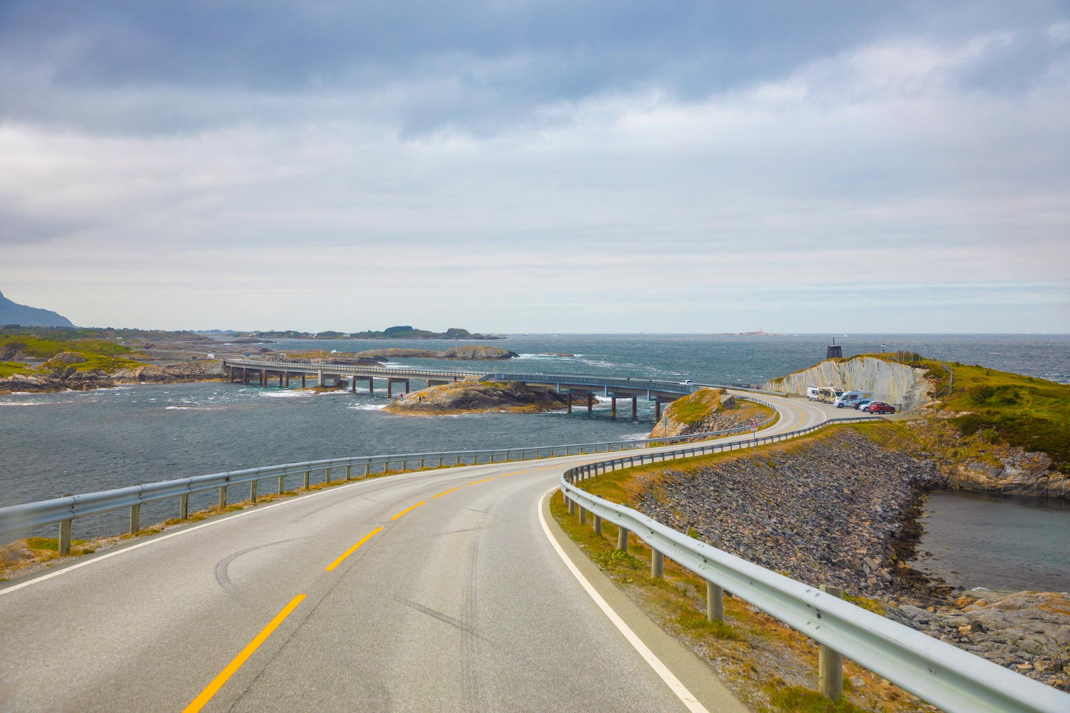
Some causeways were built or rebuilt to carry a line across water or marsh, which required a far more substantial structure than a road needed.
The engineering is visible in the width. The railway causeway is the crossing built to a different specification entirely.
9. The Causeway That Became a Dam
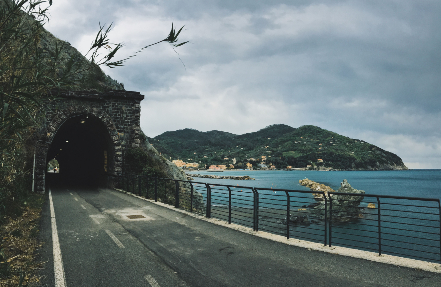
A solid crossing blocks water movement, so several were adapted or repurposed to hold water back, changing the environment on one side permanently.
The route and the barrier became the same object. The dammed causeway is the crossing that acquired a second and larger function.
10. The One That Changed the Water
Any solid structure across a channel alters currents, sediment movement and drainage, so the coast either side of an old causeway is frequently not what it was.
The effects appear over decades. The altering causeway is the structure whose consequences outgrew its purpose.
11. The Seasonal Rather Than Tidal Crossing
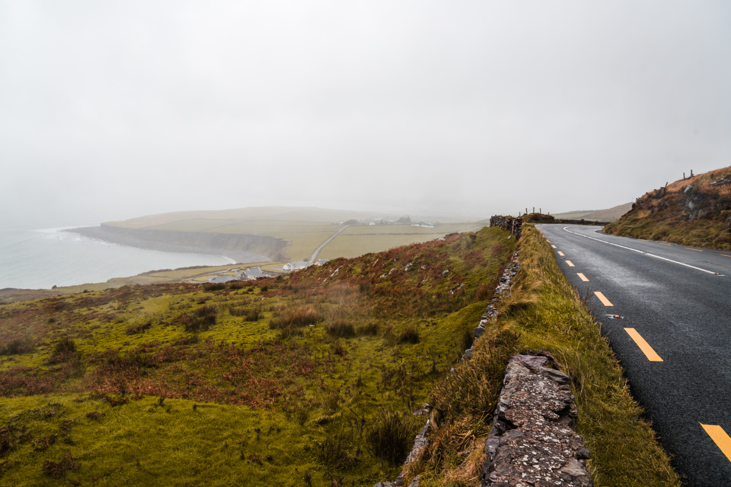
Some routes are passable only when water levels are low, which makes them available for months rather than hours and unavailable for the rest of the year.
Local knowledge determines when. The seasonal causeway is the crossing with a calendar rather than a timetable.
12. The Ford That Was Upgraded
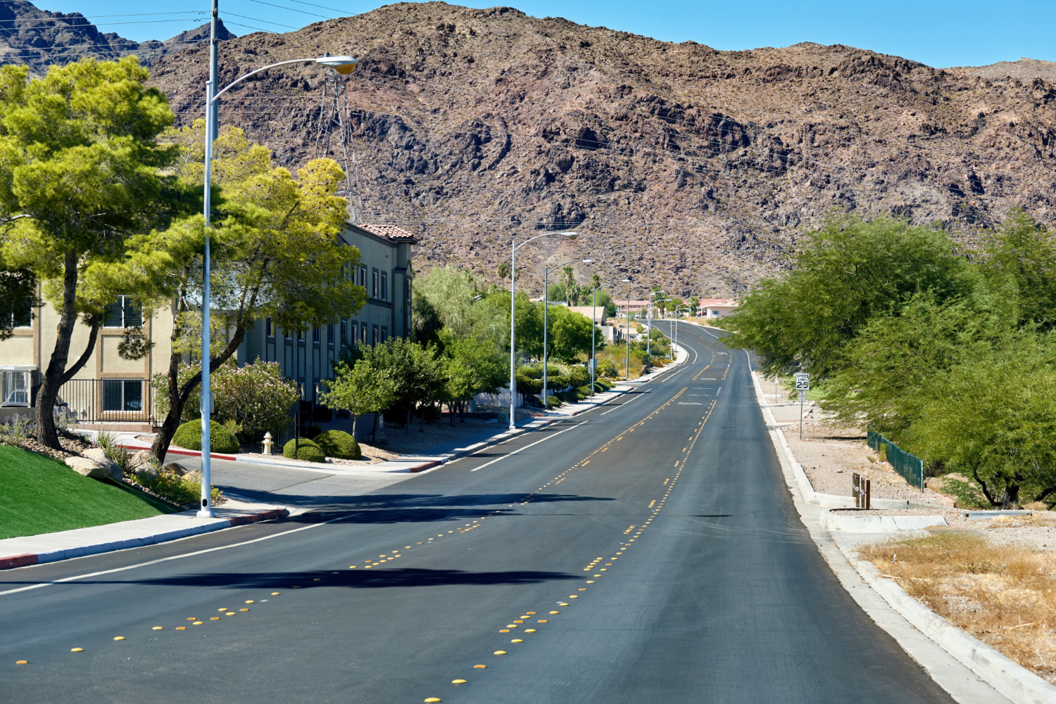
A number of causeways began as shallow crossings and were progressively raised, surfaced and widened until they became permanent structures.
The original route is generally still underneath. The upgraded causeway is the crossing that grew out of a ford.
13. The Walkway Alongside
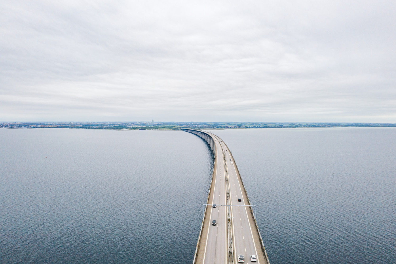
Some crossings carry a separate raised footway beside the vehicle route, which stays clear slightly longer and gives walkers a margin drivers do not have.
It is a deliberate provision rather than a decoration. The parallel walkway is the feature that acknowledges different users have different risks.
14. The One That Is Only There in Photographs
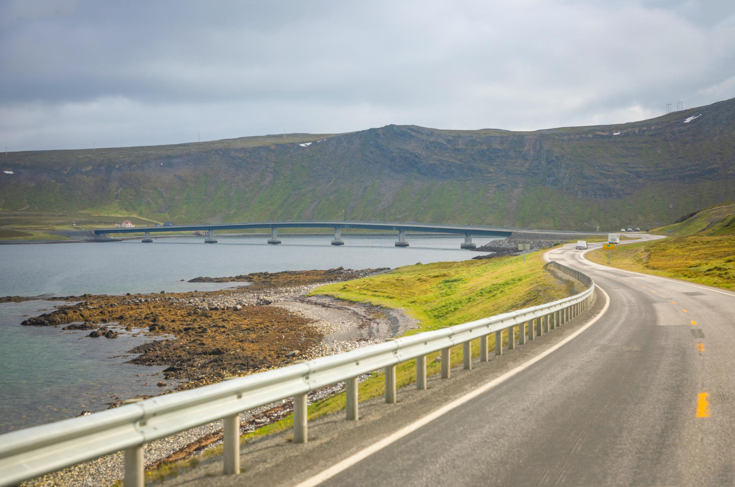
Several historic causeways have been lost to erosion, storms or changing water levels, leaving a route on old maps and nothing on the ground.
The settlements at either end frequently remain. The vanished causeway is the crossing that stopped existing while the places it joined did not.
A Route Across Something That Was Not Offering One
Water, mud, marsh or sand – every causeway is a decision that crossing was worth building for, and the tidal ones are the only roads anywhere that stop existing on a schedule.
This one needs saying plainly. Tidal crossings catch people out constantly, the water comes in faster and from more directions than anybody expects, and vehicles are the most common problem because a road that looks fine at the start is not the issue. Safe crossing times are published by the local authority for each crossing, they are calculated rather than estimated, and they are not advisory. Check them for the specific crossing on the specific day, and if you are already late, do not start.
Like our content? Follow us for more.