


Most Americans drive on these roads for a lifetime without discovering that the numbers mean something. They are treated as names – arbitrary labels that happen to be numerals.
They are not. The numbering is a deliberate scheme, laid out before most of the system was built, and it carries a surprising amount of information in two or three digits. Once you know the rules you can look at a shield in a state you have never visited and say, correctly, which way the road runs, roughly where in the country you are, and whether the road you are on is going into a city or around it.
Rule One: Odd and Even, and Which Way They Count

The first rule is the orientation, and it has two halves.
Odd numbers run north to south. Even numbers run east to west. That alone is useful, because a driver who knows only that one fact can tell from a sign whether the road ahead is going to take them across the country or up and down it.
The second half is the counting direction, and this is where it becomes properly navigational. The odd north-south routes are numbered from west to east, with the lowest numbers on the Pacific side and the highest on the Atlantic. The even east-west routes are numbered from south to north, with the lowest along the southern border and the highest near the Canadian one.
So a low odd number is a west coast road and a high odd number is an east coast road. A low even number is a southern road and a high even number is a northern one. The number is a coordinate.
That is why the two numbers almost everybody knows are what they are: the long route down the west coast carries one of the lowest odd numbers in the system, and the one down the east coast carries one of the highest. Neither was chosen for prominence. They were chosen by position.
Like our content? Follow us for more.
Why It Counts Backwards From the Older System
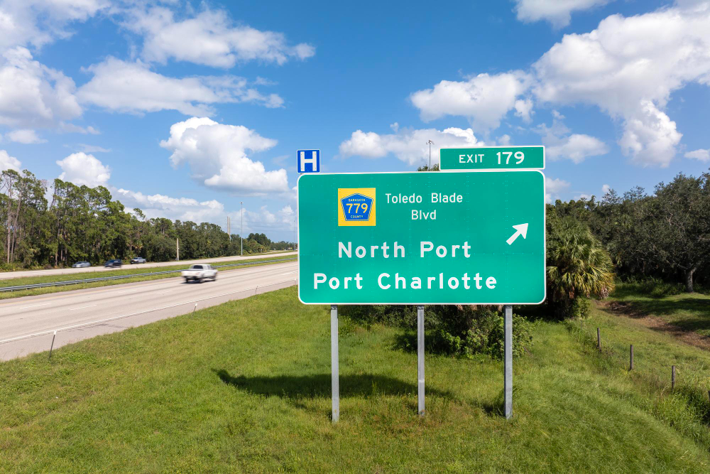
There is a deliberate inversion here that catches people out, and the reason for it is a good piece of practical thinking.
The older network of American numbered highways – the system that preceded the interstates and still exists alongside them – counts the other way. In that system, odd north-south routes are numbered from east to west and even east-west routes from north to south, so the low numbers are in the northeast.
The interstate scheme was deliberately reversed. The point was to make it difficult to confuse the two systems where they overlap, which they do constantly: a road in the older system and an interstate can both exist in the same corridor with similar numbers, and if both counted the same way you would get a low number from each in the same place.
By inverting the direction, the designers ensured that a given region has characteristically different numbers in the two systems. It is a collision-avoidance measure applied to a numbering scheme, and it is the kind of detail that only becomes visible once you know both systems exist.
Rule Two: Three Digits Means It Is a Branch
The second rule handles the short routes around and into cities, and it is the more useful one in practice.
A three-digit interstate number is always a branch of a two-digit route, and the parent is the last two digits. So any three-digit number ending in a given pair belongs to that road.
The first digit then tells you what kind of branch it is, and this is the part that is most practical.
An even first digit means the route rejoins its parent, or connects to another interstate at both ends. These are the loops, bypasses and beltways – the roads that take you around a city and put you back on the highway you were on.
An odd first digit means the route is a spur. It leaves the parent, goes somewhere – usually into a city centre, an airport or a port – and ends. It does not come back.
So a driver who wants to skip a city takes the even-prefixed branch, and a driver who wants to go into it takes the odd-prefixed one. That single distinction is the most immediately useful thing in the whole scheme, and it is signposted nowhere.
Why Three-Digit Numbers Repeat

The branch numbers are reused across the country, which strikes people as a flaw and is actually a consequence of arithmetic.
There are only so many available first digits, and a busy two-digit parent route can pass dozens of cities each wanting a loop and a spur. The combinations run out quickly.
So the same three-digit number can appear on branches of the same parent in several different states, hundreds of miles apart. It is unambiguous in practice because you are never in two places at once and because the branch is always physically connected to its parent, but it does mean a three-digit number is not a unique identifier nationally the way a two-digit one is.
There are also a small number of exceptions and oddities across the system – routes whose numbers do not fit the scheme because of how the network developed, segments that were renumbered, and a handful of cases where the orientation rule is broken by geography. Those exist and they are documented, and they are exceptions in the proper sense: the rule holds nearly everywhere, which is what makes it worth knowing.
The Mile Markers and Exit Numbers Are Part of It
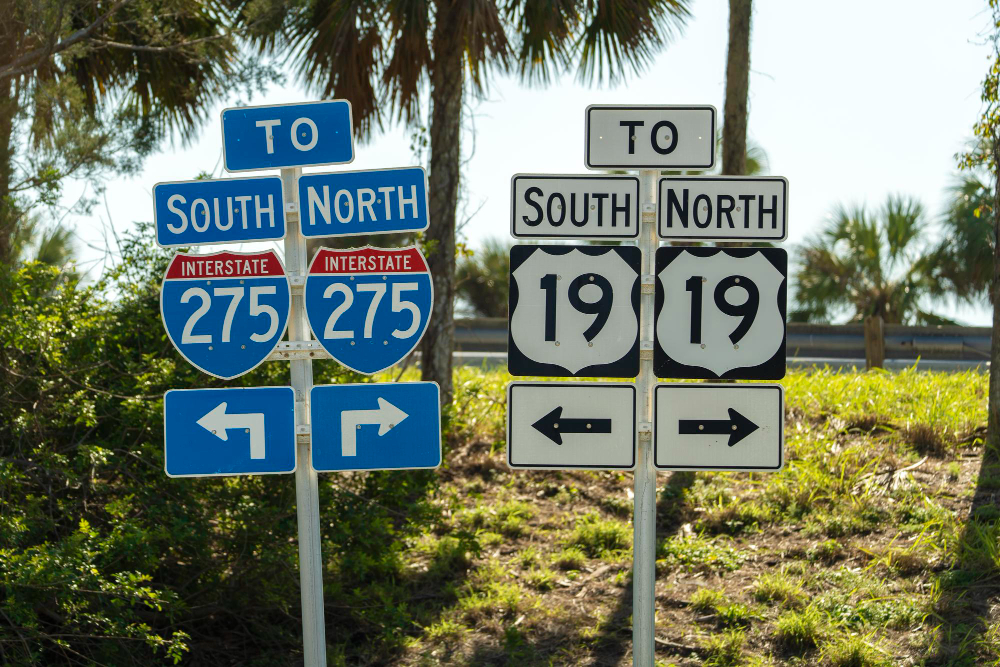
The numbering does not stop at the shield, and the rest of it is arguably more useful day to day.
Mile markers on an interstate count from the point where the road enters each state, from the south on a north-south route and from the west on an east-west route – which is the same direction the route numbers themselves count. So the markers increase as the route numbers would.
And on most American interstates the exit numbers are the mile markers. Exit 94 is at mile 94. Which means that if you are at mile 60 and your exit is 94, your exit is thirty-four miles away, and you can work that out without any sign telling you.
This is a very good system and it is not universal – a minority of states historically numbered exits sequentially, so that exit 12 was simply the twelfth exit regardless of where it was, and some have converted since. Sequential numbering tells you how many exits are left and nothing about distance; distance-based numbering tells you how far and nothing about how many. The second is more useful to somebody who does not know the road, which is who the whole system was designed for.
It also means that when a new interchange is built between two existing exits, it gets a letter rather than a new number, because the numbers are not a sequence and cannot absorb an insertion.
What the System Was Actually For
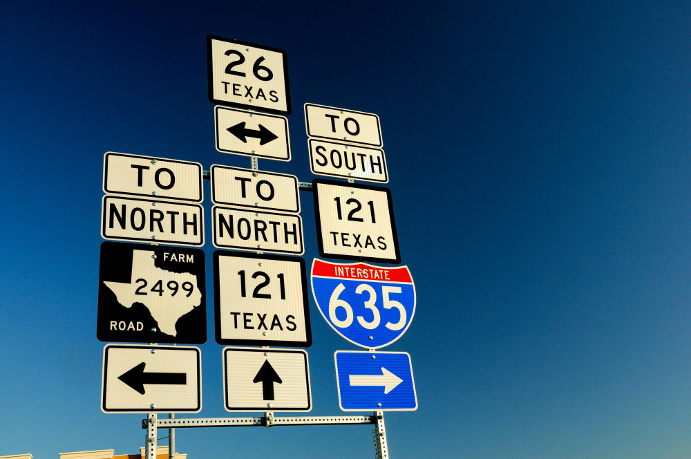
It is worth being clear about the design brief, because it explains the choices.
The network was planned as a national system with a strategic purpose as well as a civilian one, and that meant it had to be legible to somebody who had no local knowledge at all. A driver crossing six states in a day cannot learn six local conventions, and a vehicle moving under direction cannot wait for somebody to consult a map.
So everything about the signage was standardised nationally and designed for reading at speed: the shield shape, the colours, the typeface, the sign placement, the lane markings and the numbering scheme itself. The numbering is one component of a single legibility system, and it is the component that encodes geography.
That is also why it is not advertised. The scheme was designed to work without being taught – you do not need to know the rules for the signs to function, because the signs also tell you the destination. The encoding is a redundancy, a second channel carrying the same information for anybody who happens to know how to read it.
The Honest Summary
Two rules decode almost the whole system.
Odd numbers run north-south and count up from the west coast; even numbers run east-west and count up from the southern border. The scheme deliberately counts in the opposite direction to the older highway network so that the two cannot be confused where they share a corridor.
A three-digit number is a branch of the two-digit route in its last two digits. An even first digit means it loops back and will return you to your road – take it to go around a city. An odd first digit means it is a spur that ends – take it to go into one.
And on most of the network the exit numbers are the mile markers, counting from the state line in the same direction the route numbers count, which lets you calculate the distance to your exit from any point without a sign.
None of it is signposted, none of it needs to be known, and all of it has been sitting on the shields the entire time.
Like our content? Follow us for more.


