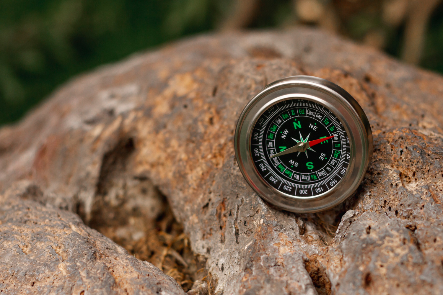
A compass needle points north. Almost everyone knows this and almost nobody knows what it means.
It does not point at the North Pole. The geographic North Pole is a fixed point where the Earth’s axis of rotation meets the surface, and it stays exactly where it is.
Magnetic north is something else: the location where the planet’s magnetic field lines converge and point vertically downward. It is not a fixed geographic feature, it is not marked by anything, and it moves — currently at a pace that has required emergency updates to the models the world navigates by.
That movement has consequences well beyond curiosity, and the underlying cause is roughly 1,800 miles beneath your feet. Here is what is going on.
Where the Field Comes From
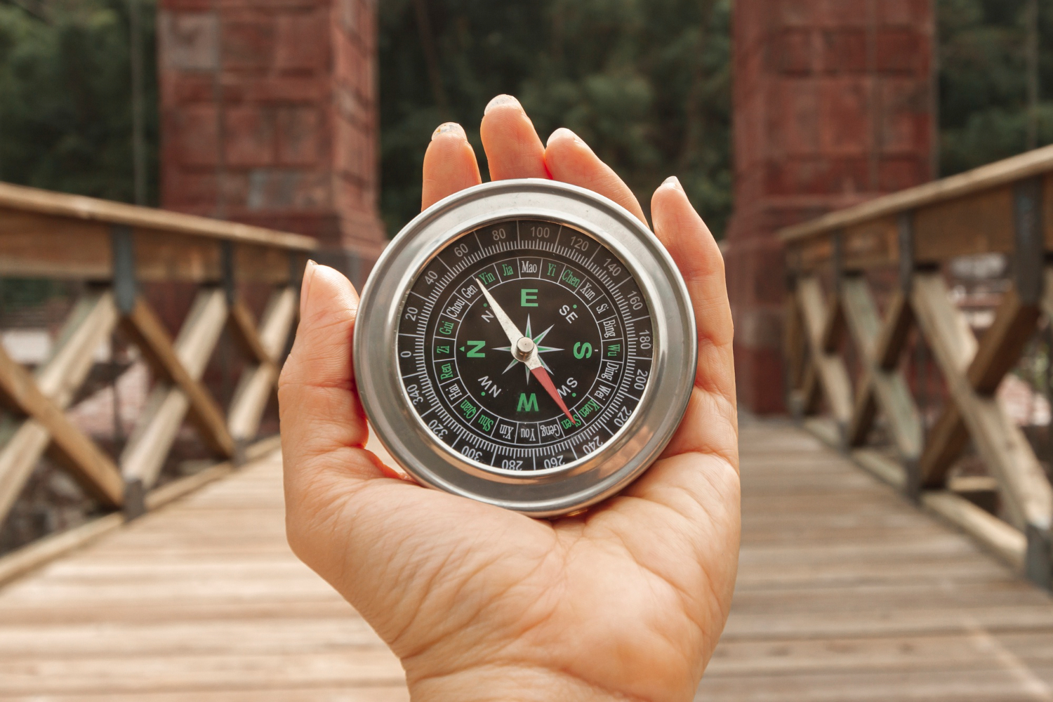
The Earth’s magnetic field is not produced by a lump of magnetised iron at the centre of the planet, which is the intuitive picture and is wrong.
It is generated by motion. Beneath the rocky mantle lies the outer core, a layer of molten iron and nickel beginning around 1,800 miles down. That fluid is in constant convective motion, and because molten metal conducts electricity, its movement generates electrical currents. Those currents in turn sustain the magnetic field.
This self-sustaining arrangement is called the geodynamo, and it has one crucial property: because the fluid motion never stops and never repeats exactly, the field it produces is never static.
Magnetic north is therefore not a location so much as an output. It is wherever the current configuration of flow in the core happens to put it, and when the flow changes, the pole moves.
One geophysicist described the field as having changes akin to weather, and suggested simply calling it magnetic weather — which captures both the constant variation and the difficulty of forecasting it.
Like our content? Follow us for more.
The Journey So Far
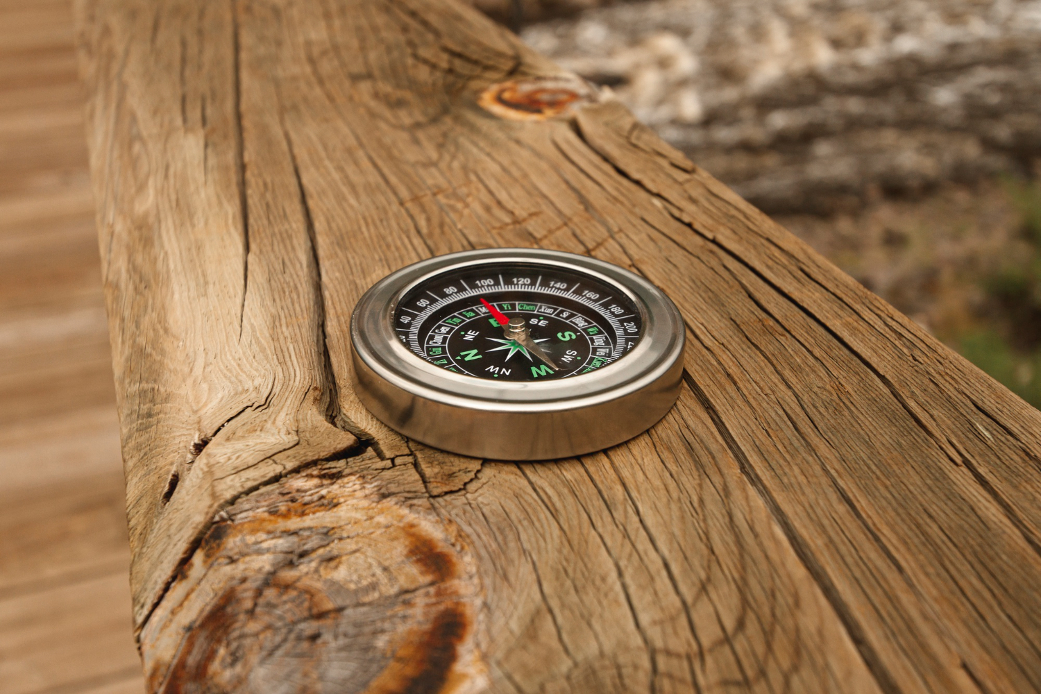
The pole’s wandering has been tracked since it was first measured, which gives an unusually long observational record.
It was located in the Canadian Arctic in 1831 by the explorer James Clark Ross. From there it has drifted steadily toward Siberia, covering something in the region of 1,400 miles.
The pace has not been constant, and this is where it becomes interesting. Through much of the twentieth century it moved at roughly 9 to 15 kilometres a year — slow enough that the models could be updated on a comfortable schedule.
Then, from the 1990s, it accelerated markedly, reaching somewhere around 50 to 60 kilometres a year, or roughly 30 to 34 miles, by the 2000s. It crossed the international date line in 2017 and has since been closer to Siberia than to Canada.
And then, in the most recent period, it slowed substantially — down to something in the region of 22 miles a year, described by one researcher as the largest deceleration ever observed.
Neither the acceleration nor the deceleration has a settled explanation. Researchers have been unusually candid that the underlying cause of the field’s recent behaviour is not understood.
The Tug of War Underneath

There is a leading explanation for the acceleration, and it is a good one.
Analysis of satellite data indicates the movement results from a contest between two large lobes of magnetic flux in the core — one beneath Canada and one beneath Siberia. The position of the pole at the surface reflects the balance between them.
Changes in the pattern of core flow between roughly 1970 and 1999 elongated the Canadian lobe, weakening its influence at the surface. With the Canadian lobe diminished, the Siberian lobe gained the advantage, and the pole accelerated toward it.
That is a satisfying account of the sprint. It is less clear what has caused the recent slowdown, which is part of why the field’s behaviour is described as unpredictable rather than merely complicated.
Satellite missions dedicated to measuring the field are used to separate the contributions from the core, mantle, crust, oceans and upper atmosphere, which is necessary because what is measured at the surface is the sum of all of them.
Why This Requires Constant Correction

The practical consequence is a piece of global infrastructure most people have never heard of.
The World Magnetic Model is a mathematical representation of the Earth’s magnetic field, produced jointly by American and British scientific agencies. It is the international standard, used by government and military organisations across many countries.
It is updated every five years, and the reason is straightforward: the field changes continuously, so the model’s accuracy degrades between releases. Each new edition recalibrates the field and forecasts its behaviour until the next update.
The applications are extensive. Aviation, maritime navigation, submarines, autonomous systems and defence platforms all rely on the relationship between magnetic and geographic reference points. Smartphone compass apps and mapping services use it too, which is why an obscure geophysical model reaches essentially everyone.
The error being corrected is called declination — the angle between magnetic north and true north at any given location. It varies by place and changes over time, and a few degrees of uncorrected declination will put a long flight path or shipping lane meaningfully off course.
The urgency is real. On one occasion the model had to be updated ahead of schedule because the pole was moving faster than the existing version had predicted, which is not something that happens to routine reference standards.
There is a further consequence that catches people out: airport runways are numbered according to their heading relative to magnetic north, so a sufficiently large shift eventually requires runways to be renamed and repainted.
What Compasses Are Actually Doing

Understanding this changes how you read a compass.
The needle aligns with the local magnetic field, which is not the same as pointing at magnetic north from wherever you happen to be standing. The field lines curve, and local geology can distort them further.
Any navigational chart therefore carries a declination value for the area, and any serious navigation involves applying that correction to convert between magnetic and true bearings. Charts also carry the date of the value and an annual rate of change, precisely because it does not stay put.
This is why a compass and a map are not sufficient on their own. You need to know where and when you are, because the correction depends on both.
It also explains something people notice with phones. A phone’s compass reading depends on the model to convert its magnetic measurement into a true heading, and a phone that has not been updated is working from an older version of a field that has since moved.
The Southern Pole Does Something Different

An obvious assumption is that the magnetic south pole mirrors the north one, sitting directly opposite on the globe. It does not, and the reason is informative.
The Earth’s field is frequently described as resembling a bar magnet at the centre of the planet, tilted relative to the axis. That approximation is useful and incomplete: the real field is lumpy, with regions of stronger and weaker flux that do not cancel neatly.
Because the two poles are produced by that irregular field rather than by opposite ends of a single tidy magnet, they are not antipodal. A line drawn straight through the Earth from magnetic north emerges some distance from magnetic south.
The southern pole also moves at a different rate and in a different direction from the northern one, having behaved comparatively sedately during the period when the north pole was sprinting toward Siberia.
There are further irregularities. A large region of reduced field strength over parts of the South Atlantic is monitored closely, because a weaker field there offers less shielding from charged particles, which affects satellites passing overhead.
All of which reinforces the central point: the field is not a simple dipole with two neat ends. It is the messy output of a churning core, and the poles are two points where that output happens to become vertical.
A Planet That Will Not Sit Still
There is something worth appreciating in the ordinariness of the object involved.
A compass is the simplest navigational instrument there is: a magnetised needle free to rotate. It has been used for roughly a thousand years, it needs no power, and it works anywhere.
And the thing it points at is the surface expression of turbulent convection in a molten metal ocean nearly two thousand miles underground, which has been drifting across the Arctic for as long as anyone has measured it, sped up for reasons nobody has established, and slowed again for reasons equally unclear.
The needle is not wrong. It is reporting, accurately, on the current state of the inside of the planet — which is not a fixed quantity and never has been.
Which is why an international committee has to reissue the answer every five years, and why the north your phone shows you is a calculation rather than a direction.
Like our content? Follow us for more.