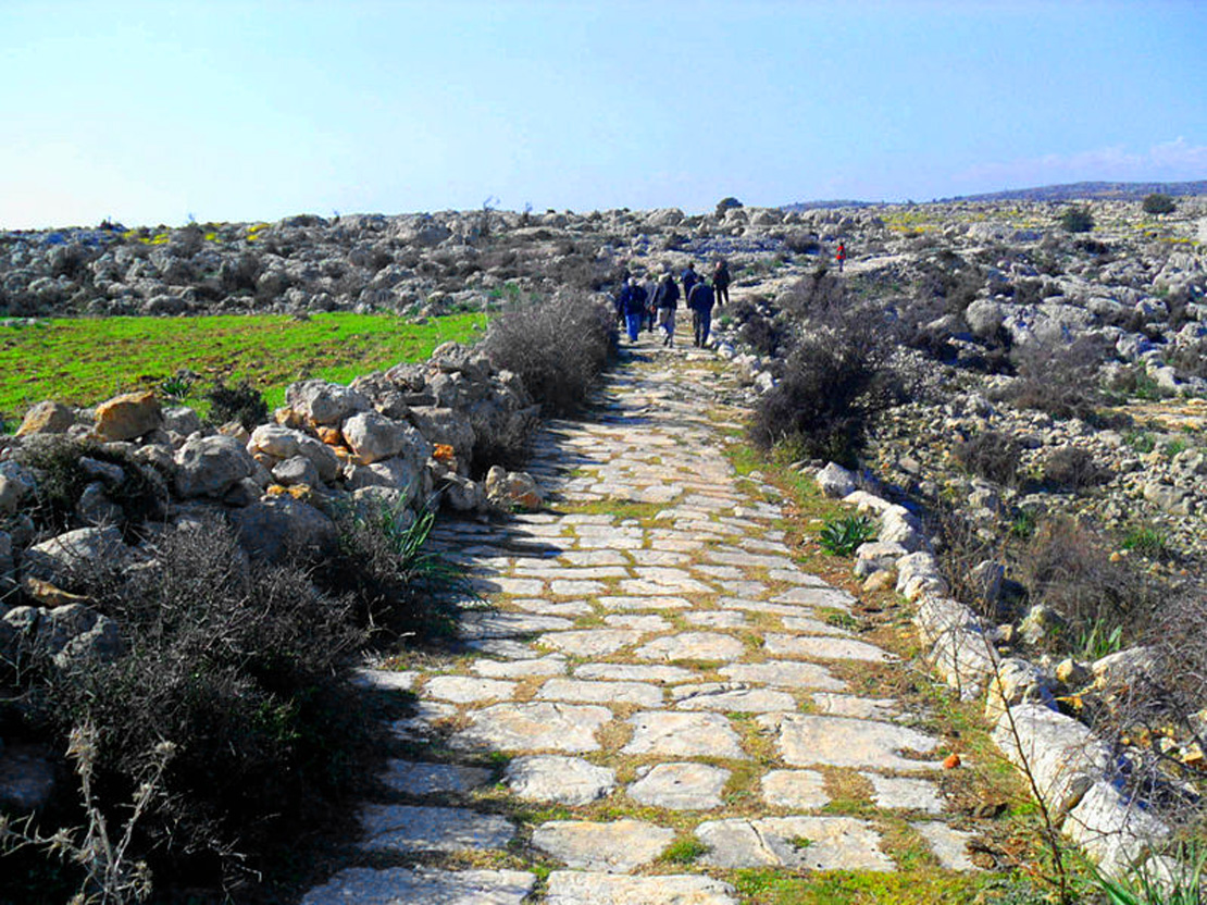
Look at a map of Britain or northern Italy and certain roads stand out immediately. They run straight across the landscape for miles, ignoring the contours, occasionally kinking at a hilltop and then resuming, in a manner no medieval road ever managed.
Those are Roman, and their straightness is the single most recognisable thing about them.
It is frequently explained as though the Romans were simply stubborn — that they liked straight lines and drove them through obstacles out of temperament. That is not quite it. The straightness was a deliberate engineering choice with clear reasons behind it, and achieving it over long distances without maps or optics was a really difficult technical problem.
Here is how they actually did it, and why the roads outlasted almost everything else the empire built.
The Scale of the Thing
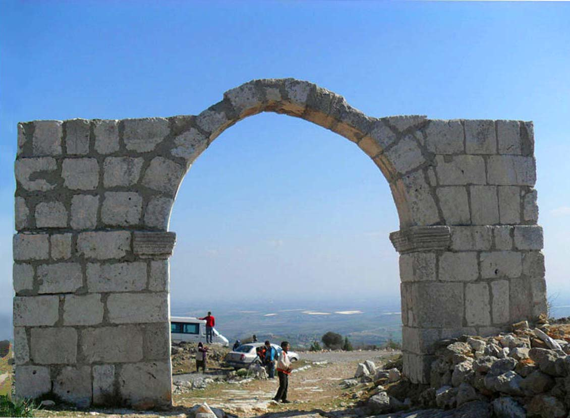
Some numbers first, because the network is easy to underestimate.
At the height of the empire, Rome controlled an estimated 250,000 miles of roads, of which roughly 50,000 miles were stone-paved highways built to the highest specification. The rest were lesser routes to lower standards.
These were state projects, backed by law and imperial funds, not informal tracks that accumulated through use. They carried milestones, way stations and fountains, and they were toll-free — anyone could use them.
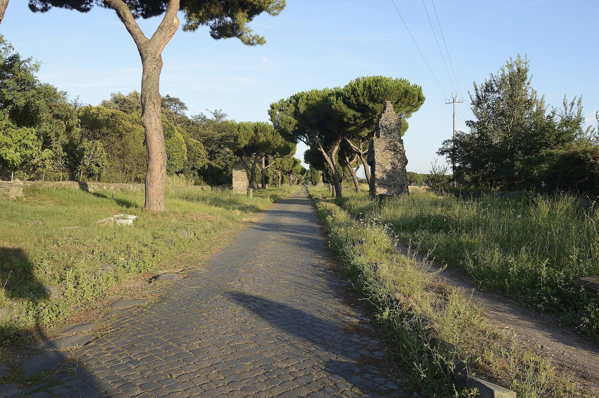
The Via Appia, begun in the fourth century BC and extended to the port of Brundisium on the heel of Italy by 264 BC, set the template: 360 miles of stone artery connecting Rome to the sea routes for Greece. A poet later called it the queen of roads and the name stuck.
Its straight sections remain remarkable. The stretch from Rome toward Terracina was laid out as one continuous ruler-straight run of around 90 kilometres, and the road still contains what is described as the longest straight stretch in Europe, some 62 kilometres without a bend.
Like our content? Follow us for more.
The Instrument
The tool at the centre of this was called a groma, and its simplicity is the point.
It consisted of a staff, pointed at the lower end so it could be driven into the ground, supporting a horizontal wooden cross mounted on a pivot. From the end of each of the four arms hung a plumb bob on a cord.
That is the whole device. There are no lenses, no graduations and no moving parts beyond the pivot.
Used correctly, it does one thing extremely well: it establishes a perfectly vertical reference in two perpendicular directions. A surveyor sights past two opposite plumb lines and has a dead-straight line of sight; the other pair gives him a right angle to it.
Two other instruments supported it. The chorobates was a wooden bench around twenty feet long with a water-filled groove along the top, used to establish whether ground was level or had the slope required for drainage. The dioptra was a more sophisticated sighting instrument, an early ancestor of the theodolite.
But the groma is the one that produced the straight lines, and it is essentially a plumb line on a stick.
Aiming at Something You Cannot See
Here is the problem that makes the achievement impressive.
A surveyor standing at Londinium wanting to build a road to a town beyond several ranges of hills knows the rough direction. He cannot see the destination. He cannot see most of the intervening ground. He has no aerial view and no accurate map.
The solution was beacons, and it worked in stages.
A fire is lit at the starting point. The surveying party sets off in the general direction of the target, and at the highest point from which the first beacon is still visible, they light a second. From there they continue, siting a third where the second is still visible, and so on, effectively feeling their way across the landscape with a chain of fires — frequently working at night, when the beacons showed best.
That establishes an approximate line. The refinement comes next.
Working back along the chain, surveyors used the groma at each intermediate beacon to align it precisely with the one before and the one after, moving stakes and flags until each point sat exactly on the line between its neighbours. Repeated along the chain, the process straightens the whole thing.
The result is a route that is straight in segments, with slight kinks at high points where the alignment was adjusted. Those kinks are still visible in aerial photographs of British Roman roads today, and they are the fingerprint of the method.
Where a hill was truly in the way, the preference was to go through or over rather than around. On the Via Flaminia, engineers cut a tunnel 38 metres straight through solid limestone at the Furlo Pass in AD 77; it remains in use as part of the modern Italian road network nearly two thousand years later.
Why Straight, Though
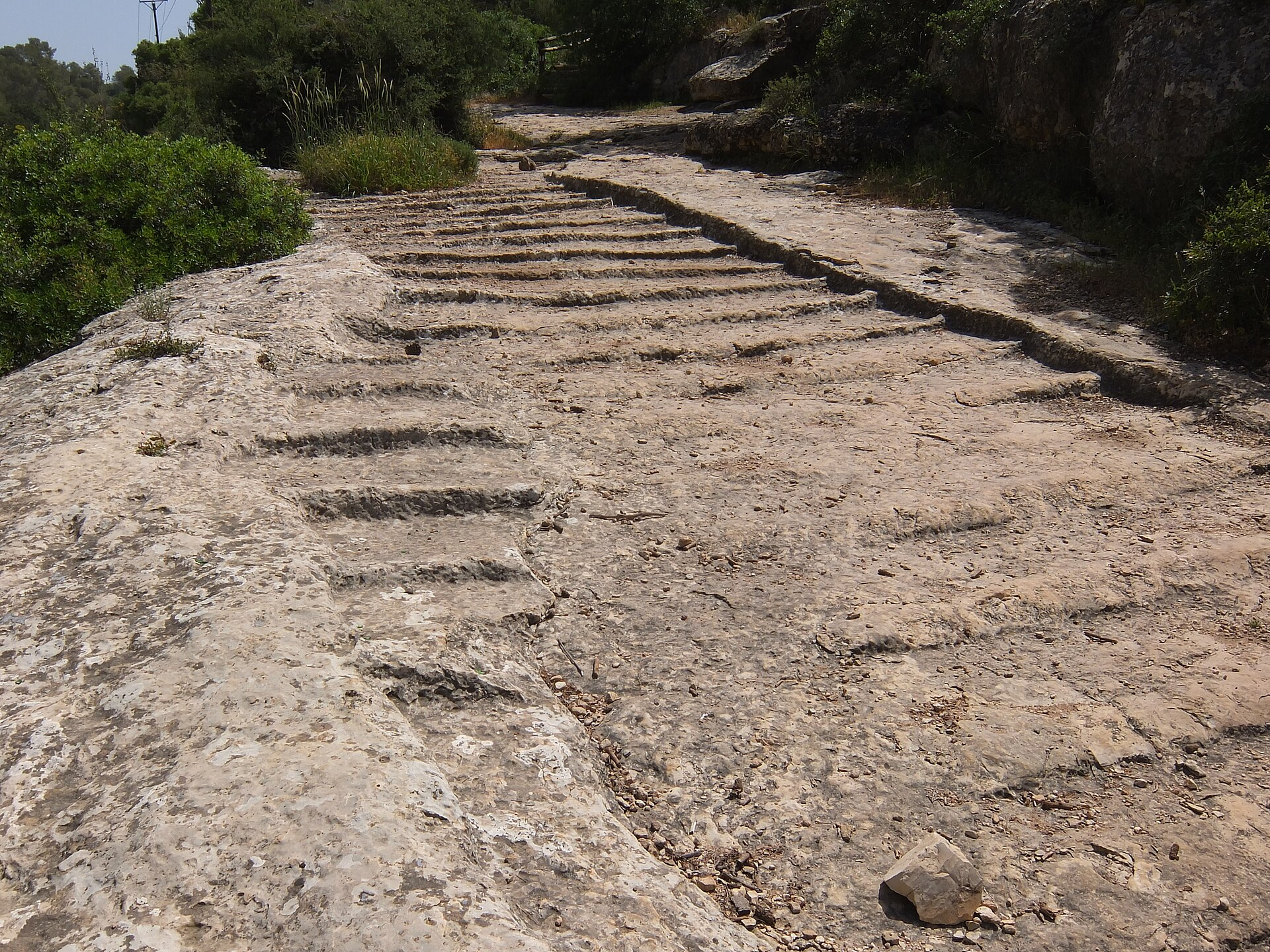
The reasons are practical rather than aesthetic, and there are several.
The first is simply distance. A straight road is the shortest route, and the network existed primarily to move soldiers, messengers and supplies quickly and predictably. Every mile of meander is a mile of marching.
The second is construction. A straight alignment is easier to survey, easier to build to a consistent specification, and produces fewer of the stress points that a winding road accumulates at its curves.
The third is that Roman engineers were entirely aware of the terrain and chose to deviate only when it actually forced them. The roads are not straight because nobody noticed the hills. They are straight because someone assessed each obstacle and concluded that going over it was cheaper than going around.
Why They Are Still There
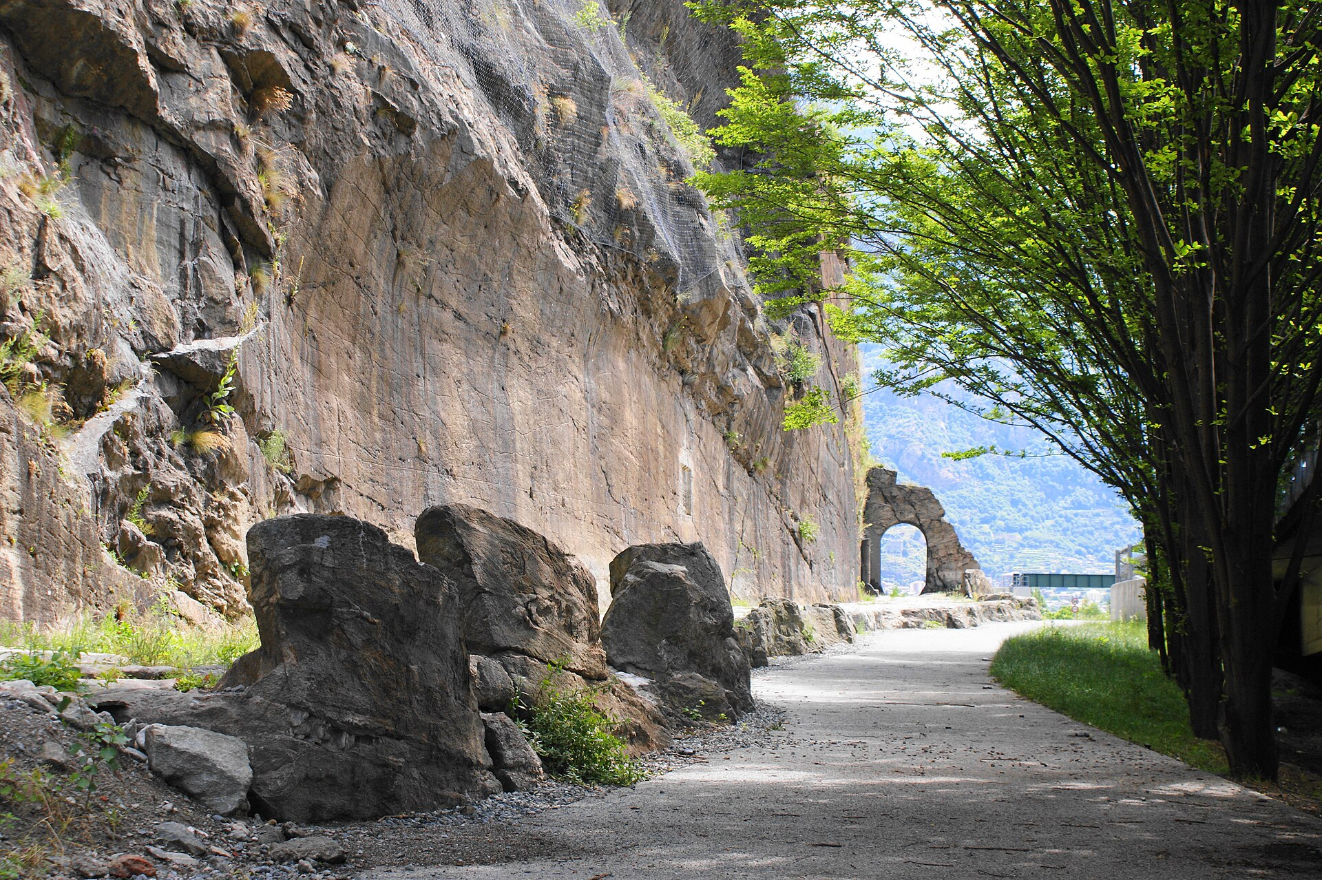
Straightness explains the shape. It does not explain the durability, and that comes down to two things: depth and drainage.
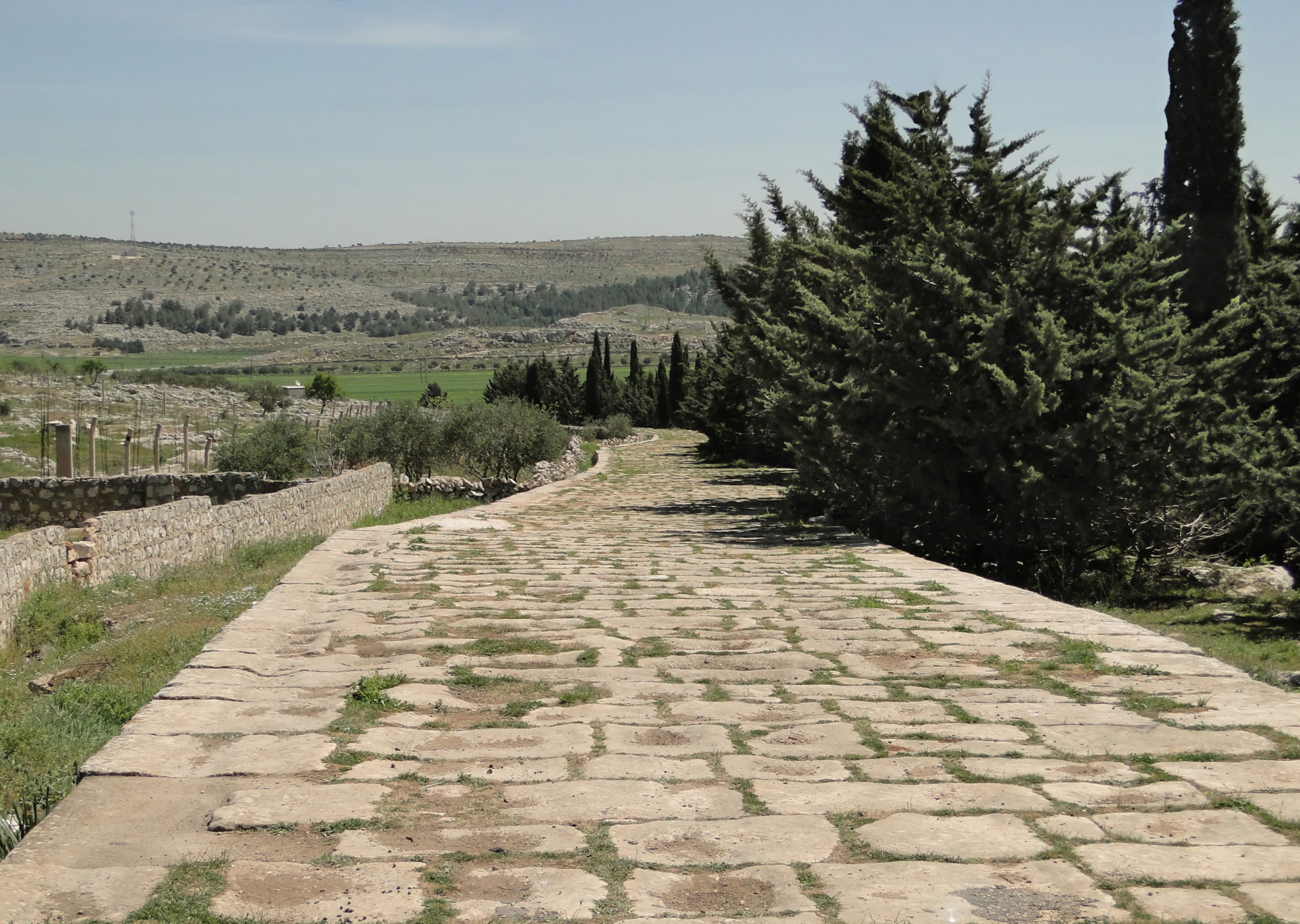
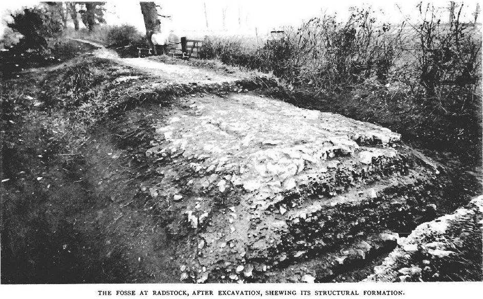
A major Roman road was built in layers, in a trench typically three to six feet deep. The statumen at the bottom was a foundation of large stones. Above it the rudus provided a structural core of smaller broken stone and rubble. Then the nucleus, a finer levelling layer. Finally the summum dorsum, the top surface, of fitted paving slabs.
Total thickness typically ran to three to five feet, increased further in marshy or mountainous ground.
The drainage is the part modern engineers point to. The surface was cambered so water ran off it, ditches were cut along both sides, and the layered construction let water move down and away rather than sitting in the structure. Water is what destroys roads, through erosion and through freezing, and the Romans built around that fact obsessively.
The workmanship could be extraordinary. A sixth-century historian, writing nearly nine hundred years after the Via Appia was built, remarked that its polygonal basalt slabs fitted so tightly that they appeared to have grown together rather than been laid by hand.
There was also systematic maintenance, which matters more than it sounds. A road built well and repaired regularly outlasts a road built superbly and neglected.
What Travelled on Them
The roads were built for a purpose, and knowing what moved along them explains the specification.
Their first function was military. Legions marched on foot with substantial equipment, and a paved, drained, consistently graded surface meant a predictable rate of advance in any season, which is worth more to a commander than raw speed.
Their second was communication. The imperial courier service operated relays of riders and changes of horse at stations along the route, allowing dispatches to travel remarkable distances in a day. The system depended entirely on the road surface being reliable, because a courier who has to pick his way around a washed-out section is no faster than a walker.
The third was trade, though this is where the picture is more complicated than it looks. Land transport remained expensive relative to water throughout the ancient world, and bulk goods moved by sea and river wherever possible. Roads carried high-value goods, official traffic and local movement rather than the bulk grain trade.
Milestones recorded distances and, frequently, which emperor had paid for the work. Way stations provided changes of animal and overnight accommodation at regular intervals.
The network also had an administrative function that is easy to overlook: a road is a statement that a territory is governed, and building one through newly acquired land was a political act as much as an engineering one.
What Survived
The roads outlived the state that built them, and in a specific sense they are still in use.
A great many modern European routes follow alignments Roman surveyors staked out, because a good line between two places remains a good line, and successive generations resurfaced rather than re-planned. Some of the underlying structure is authentically Roman; much more of it is modern road sitting on a Roman decision.
The principles have held up too. Deep foundations, graded layers, a cambered surface and relentless drainage remain the basis of road construction, which is an unusual thing to be able to say about any two-thousand-year-old engineering practice.
What stays with you is the mismatch between the tools and the results. A wooden cross with four weights on strings, a bench full of water, a chain of fires across the hills, and teams walking back and forth realigning stakes by eye — producing a line so straight that it is still legible from an aircraft twenty centuries later.
Like our content? Follow us for more.