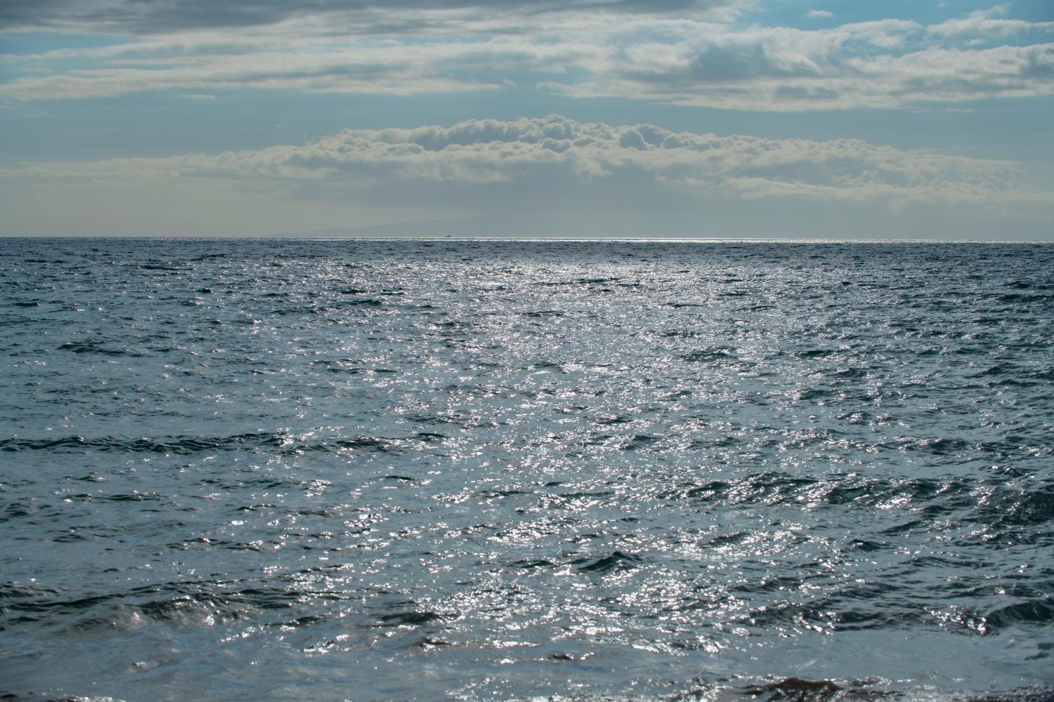
The Great Pacific Garbage Patch may be the most misunderstood environmental subject there is, and the misunderstanding is remarkably specific. People do not merely have a vague sense of it; they have a vivid and entirely wrong mental image.
That image is of an island. A dense, continuous mat of bottles and bags and containers, floating between California and Hawaii, large enough to see from orbit and solid enough to stand on.
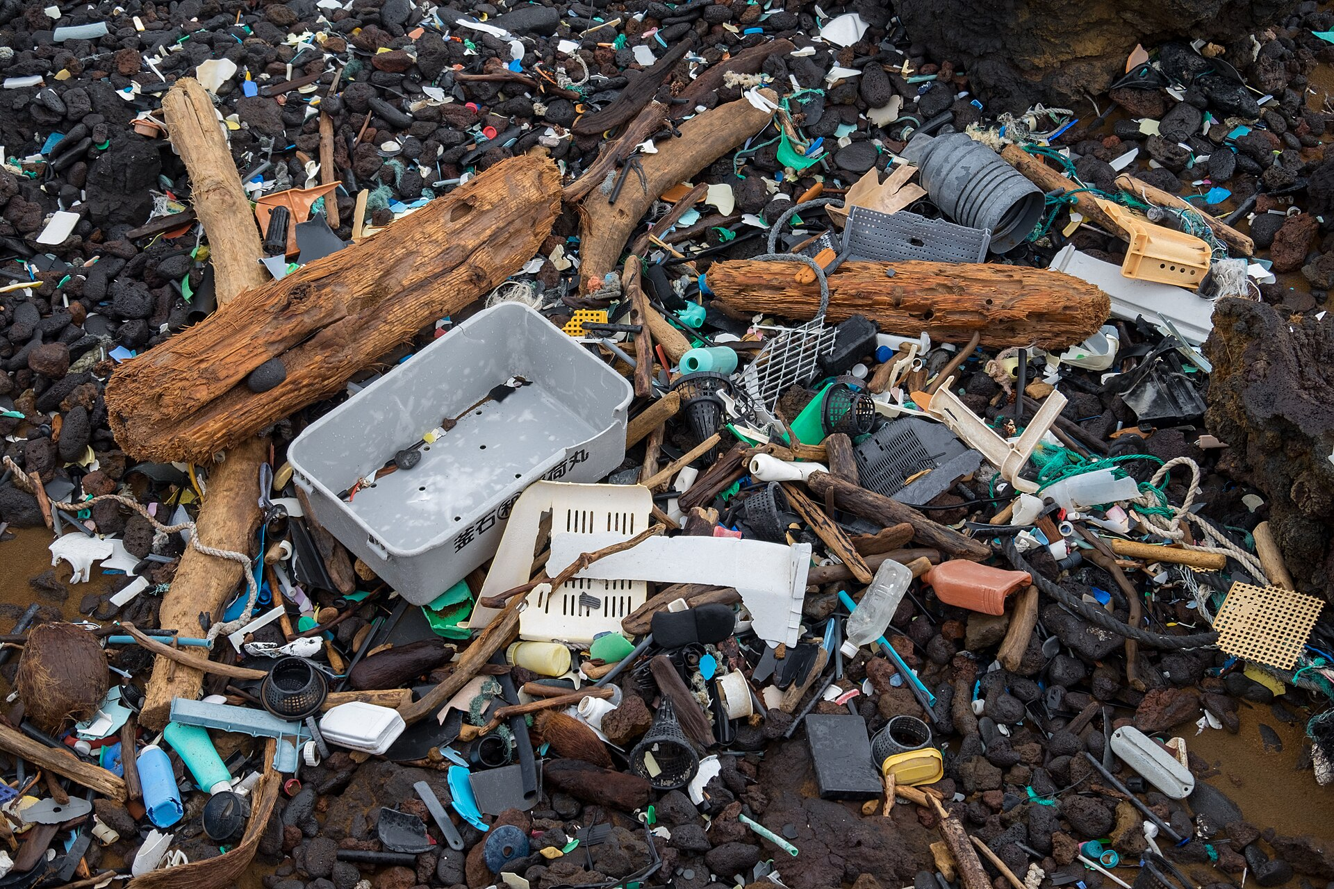
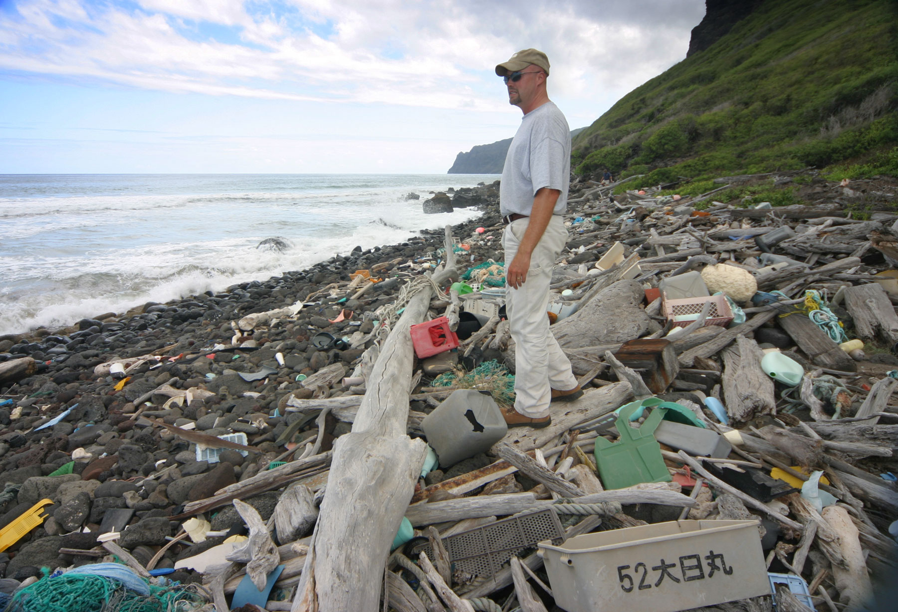
It is not a fringe misconception. It is the default one, sustained largely by stock photographs used in media coverage that show harbour-choking debris in places nowhere near the Pacific gyre.
The reality is different in a way that matters, because the correct picture changes what the problem is and how tractable it is. Here is what the patch actually is.
What Is Actually There
The patch sits in the North Pacific Subtropical Gyre, a system of rotating currents between California and Hawaii that circulate clockwise and drag floating material toward the centre, where it accumulates.
Its estimated surface area is around 1.6 million square kilometres — commonly described as twice the size of Texas or three times the size of France. But it has no fixed boundary. It is a gradient of concentration that fades at the edges and shifts constantly with wind and current.
The most-cited measurement is a 2018 study published in Scientific Reports, which estimated 1.8 trillion pieces of plastic with a combined mass of around 80,000 tonnes.
The composition is where the mental image breaks down. By object count, roughly 94 percent of the pieces are microplastics — fragments smaller than 5 millimetres, formed as larger items degrade under sunlight and mechanical weathering.
But by mass the picture inverts. Around 92 percent of the total weight consists of objects larger than half a centimetre, and roughly three-quarters of the mass is macro- and mega-plastic: nets, ropes, crates, buoys, bottles.
That combination is the key to understanding it. Enormous numbers of nearly invisible fragments, plus a much smaller number of large objects carrying most of the weight, spread across an area the size of a subcontinent.
Like our content? Follow us for more.
Why You Cannot See It
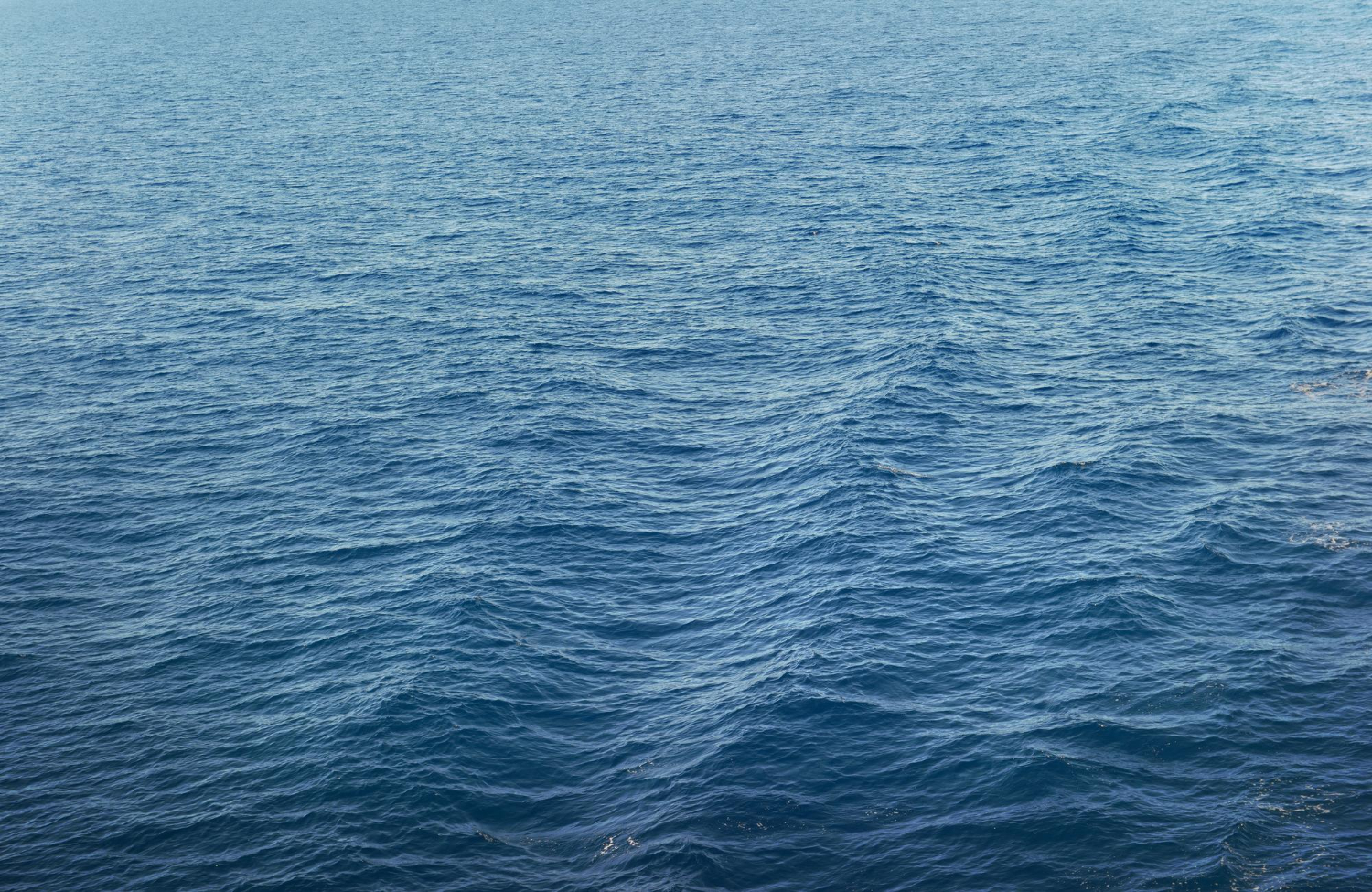
The density figure explains everything about the visibility question: roughly four particles per cubic metre.
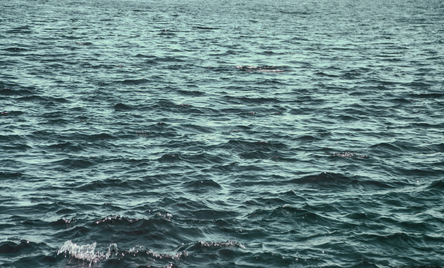
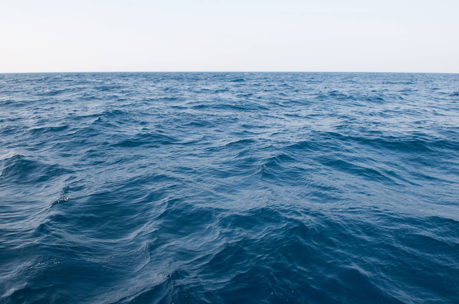
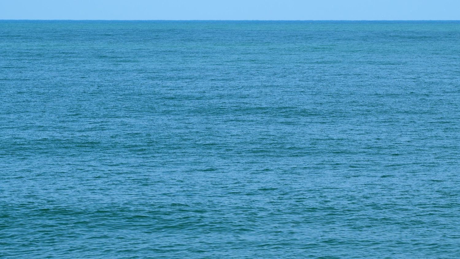
That is a lot of plastic in absolute terms and almost nothing visually. Spread four small fragments through a cubic metre of moving seawater and the water looks like water.
This is why the patch is invisible to satellites and aircraft, and why casual boaters and divers passing through would not notice anything unusual. NOAA has described microplastics as being like pepper flakes swirling in a soup rather than something you could skim off the surface.
Captain Charles Moore, generally credited with drawing public attention to the patch in the late 1990s, described the experience in terms that convey it well: he never found a clear patch of water as far as the eye could see. Not a wall of trash — an ocean surface that never quite looks clean.
Larger objects are truly there and researchers do encounter them; one expedition’s chief scientist noted surprise at the quantity of large plastic objects found. But they are scattered across an immense area rather than concentrated into anything resembling a mass.
There is also a substantial amount that is not on the surface at all. Estimates suggest only a small fraction of marine plastic floats at or near the surface, with a great deal sinking; researchers have found significant plastic accumulation on the seafloor beneath.
Why the Correction Matters
It would be easy to treat this as pedantry. It is not, and there are three reasons the accurate picture matters.
The first is that the island image makes the problem sound solvable in a way it is not. A floating island could, in principle, be towed, netted or scooped. A haze of rice-sized fragments dispersed through the upper water column across 1.6 million square kilometres cannot be filtered without processing an impossible volume of water and catching enormous quantities of plankton and marine life in the process.
The second is that the island image locates the problem far away. An island in the middle of the Pacific is somewhere else, somebody else’s ocean. Microplastics dispersed through the water column are a different kind of problem, one that does not stay in one place.
The third is more uncomfortable. Because the vivid claim is wrong, the correction can be weaponised. There are people who have argued that because the patch is not a visible island and cannot be seen on satellite imagery, it therefore does not exist — a rhetorical move that uses an accurate debunking of the picture to dismiss the measured reality behind it.
That is why getting the description right is worth the effort. The honest position is that the island is a myth and the plastic is real and measured, and holding both at once is the only defensible place to stand.
How the Gyre Concentrates It
The mechanism that creates the patch is worth understanding, because it explains both why the plastic accumulates and why it will not leave.
Ocean currents in each major basin form large rotating systems called gyres, driven by prevailing winds and deflected by the Earth’s rotation. The North Pacific Subtropical Gyre turns clockwise across an enormous area between Asia and North America.
Toward the centre of such a system the water is comparatively still — a slow region encircled by faster-moving currents. Floating material carried by those currents tends to drift inward and then stay, because there is no strong flow at the middle to carry it out again.
The result is an accumulation zone rather than a barrier. Nothing traps the plastic; it simply has no efficient route out, and it arrives faster than it leaves.
This is also why there are five known patches rather than one. Each major gyre produces the same effect, and the North Pacific version is the largest and most studied rather than the only one.
What the Debris Actually Is
One finding from the research is worth stating because it surprises most people and points somewhere specific.
Analysis of the material collected from the patch has attributed a large majority of the plastic mass — figures cited run from roughly 75 to 86 percent — to fishing activity. Nets, lines, ropes and related gear dominate the weight.
Researchers classifying recovered material sorted it into categories including hard plastic and sheet or film, plastic lines and nets, pre-production plastics such as pellets and discs, and fragments of foamed material.
That composition matters because it points at a source. The popular image of the patch as the accumulated single-use consumer waste of coastal cities is not what the mass analysis shows for this particular accumulation.
There are five known garbage patches across the world’s oceans; the North Pacific one is simply the largest and best studied.
Where the Word Patch Came From
Part of the confusion is linguistic, and it is worth tracing because the name did a lot of the damage.
“Garbage patch” is a term of art borrowed from oceanography, where “patch” describes a region of elevated concentration of something in the water — plankton, nutrients, temperature. It carries no implication of a solid surface.
Used technically, calling this a patch of plastic is accurate and unremarkable. Used in a headline, “patch” reads as a discrete object with edges, which is precisely what it is not.
The word “island” then attached itself in popular coverage, along with campaigns that deliberately personified the patch as a place — one advertising effort in 2017 proposed treating it as a nation, which generated enormous reach and cemented the image further.
Even the organisations working on the problem have acknowledged the trade-off. One has noted publicly that it ultimately matters little whether people call it a trash island, a plastic soup or a garbage patch, so long as attention follows.
That is a defensible position for an awareness campaign and a difficult one for public understanding, because the vivid version is the one that later gets used to argue the whole thing is exaggerated.
Living With an Accurate Picture
The patch is not going to be tidied away, and the reasons follow directly from its physical nature rather than from any lack of will.
Once plastic enters the gyre it is unlikely to leave until it degrades into smaller fragments under sun, waves and marine life, which means concentration of microplastics within it tends to increase over time rather than disperse.
Cleanup efforts do exist and target the larger, denser concentrations of debris, which is a rational approach: the big items carry most of the mass and will otherwise fragment into microplastics that nobody can retrieve. One organisation working on it has described the large material as effectively a slow-motion problem, since it will crumble over coming decades if left.
But the microplastics already dispersed are, realistically, not recoverable at scale with any current method.
What the accurate picture leaves you with is less satisfying than an island and more useful. There is no floating continent to point at, no dramatic photograph that honestly represents it, and no plausible scenario in which someone sails out and removes it.
There is a very large region of ocean in which the water contains suspended plastic at four particles per cubic metre, a scattering of fishing gear across an area the size of a subcontinent, and a seafloor beneath it accumulating what sinks.
That is harder to picture, harder to photograph, and substantially harder to fix — which is precisely why the wrong image spread so easily in the first place.
Like our content? Follow us for more.