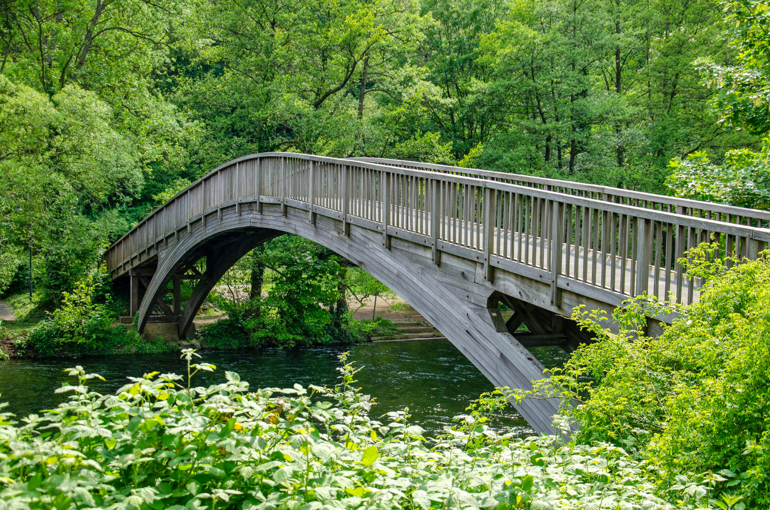
The useful thing to understand is that a crossing point is not a convenience but a bottleneck. Every route in a region funnels toward the few places the river can be got over, which is why so much history happens at them. Here are fifteen.
1. The Ford
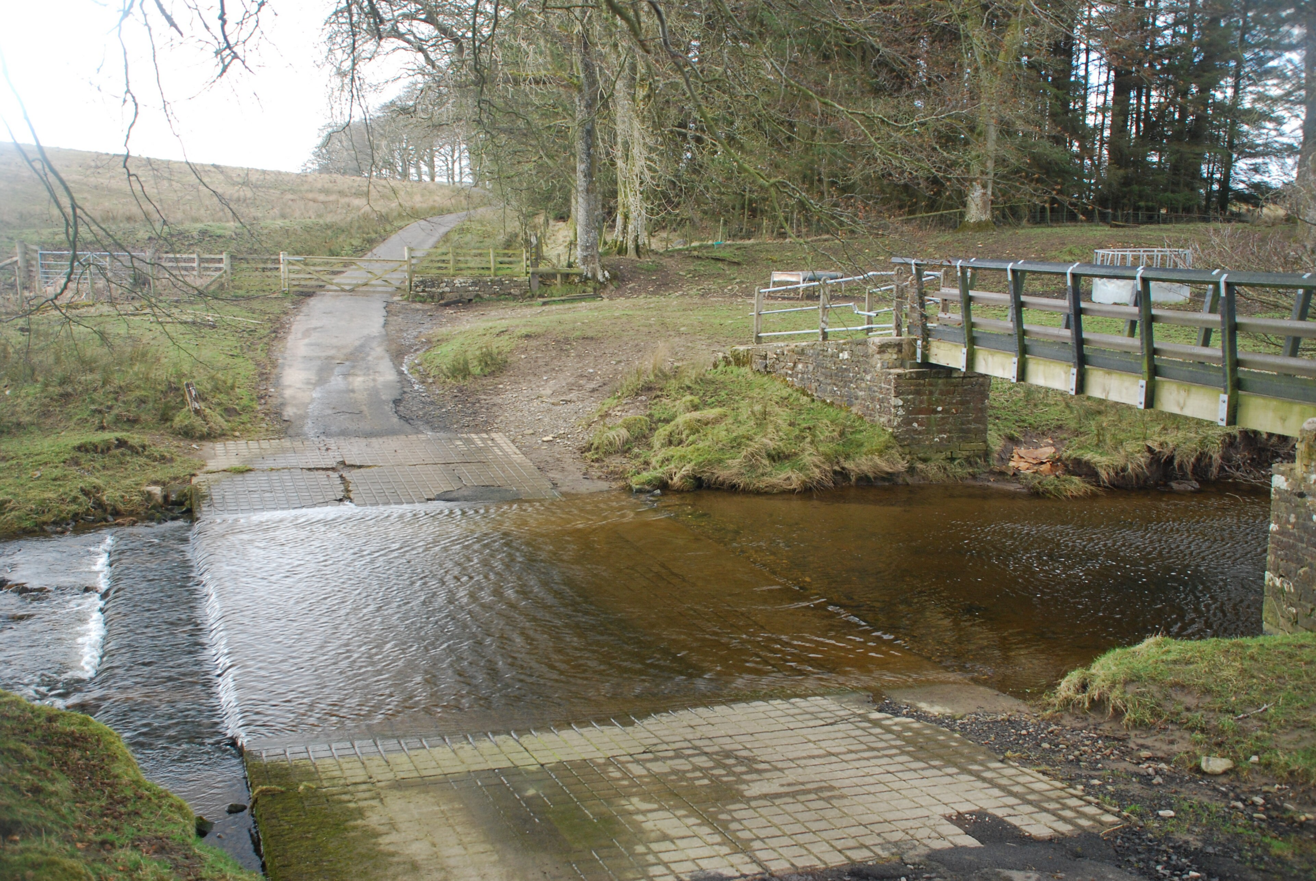
A shallow stretch with a firm bed, where the water is low enough to walk, ride or drive through, which is the oldest and simplest crossing there is.
Almost every one was in use for centuries before anything was built. The ford is the crossing that required nothing but the right piece of river.
Like our content? Follow us for more.
2. The Town That Grew at the Ford
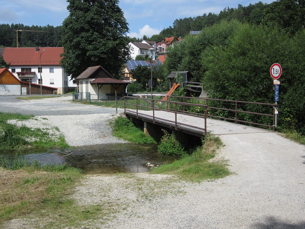
Because routes converged on the few crossable points, settlements developed there, and an enormous number of place names across many languages record exactly that.
The town exists because of a shallow patch. The ford settlement is the pattern repeated across every river system in the world.
3. Stepping Stones
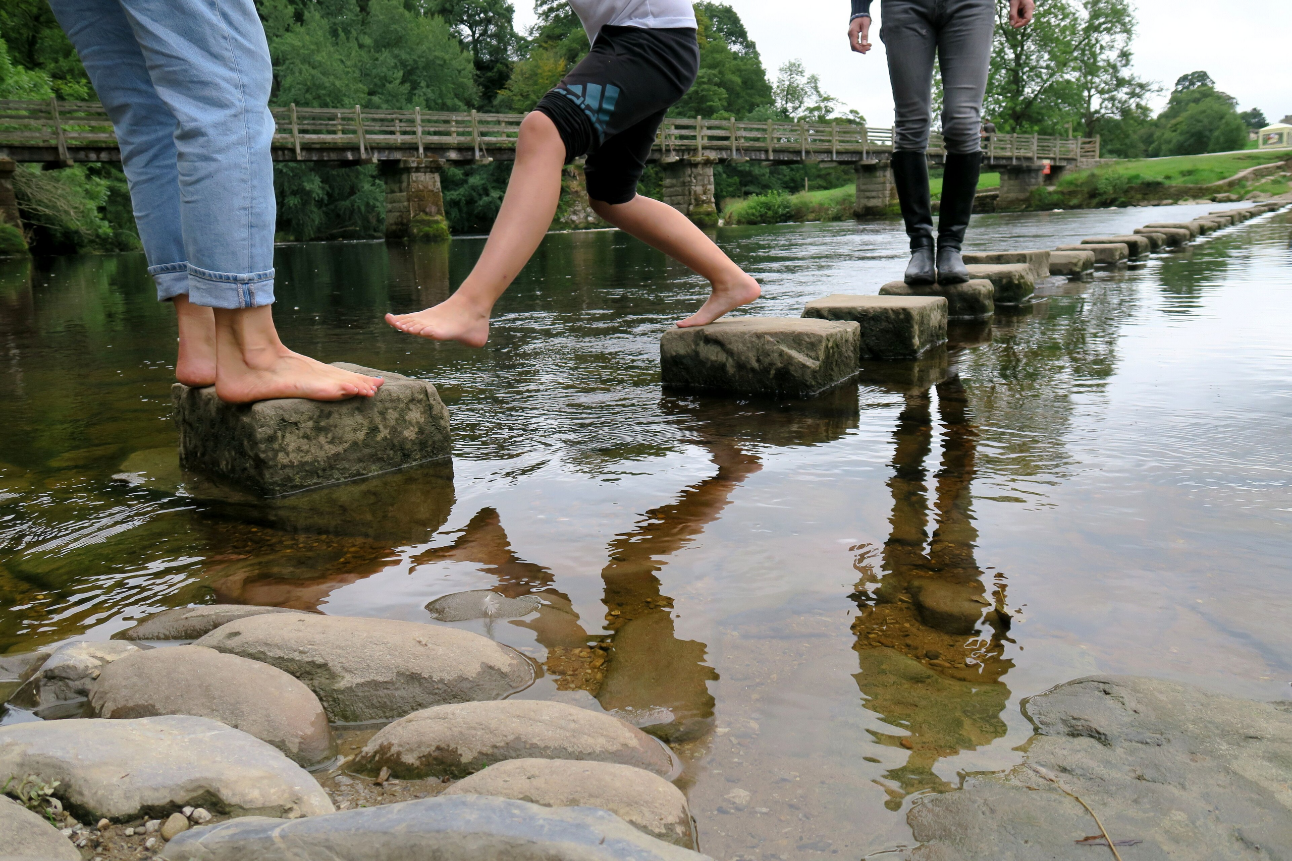
Where the bed is firm and the flow shallow, large stones set at stride intervals allow a dry crossing on foot without any construction to speak of.
They work for people and for nothing else. Stepping stones are the crossing that carries one person at a time and nothing they cannot lift.
4. The Clapper Bridge
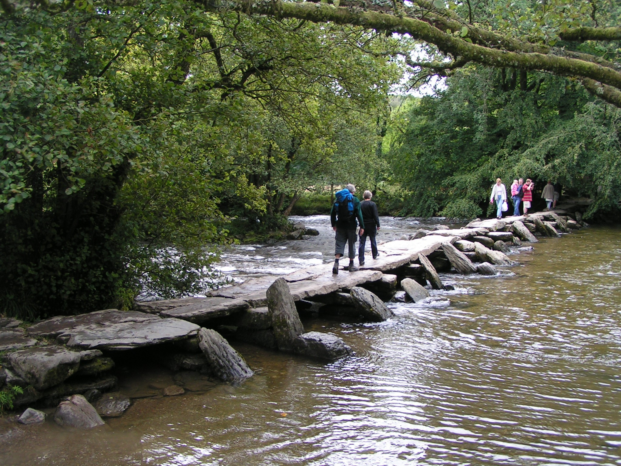
Flat slabs laid across low stone piers, requiring no arch, no mortar and no engineering beyond finding stones large enough.
Some have stood for many centuries. The clapper is the simplest permanent crossing anybody built.
5. The Packhorse Bridge
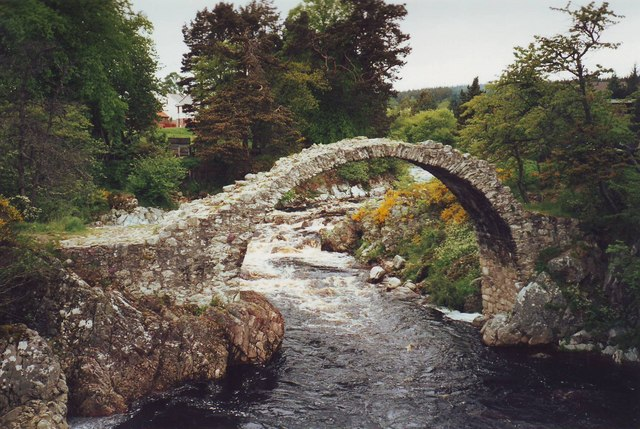
Narrow, humped and with very low parapets, built for loaded animals whose panniers projected beyond their sides and would have caught on anything higher.
The dimensions look wrong until you know what was crossing. The packhorse bridge is the crossing whose proportions record its traffic.
6. The Ferry Where It Was Too Deep
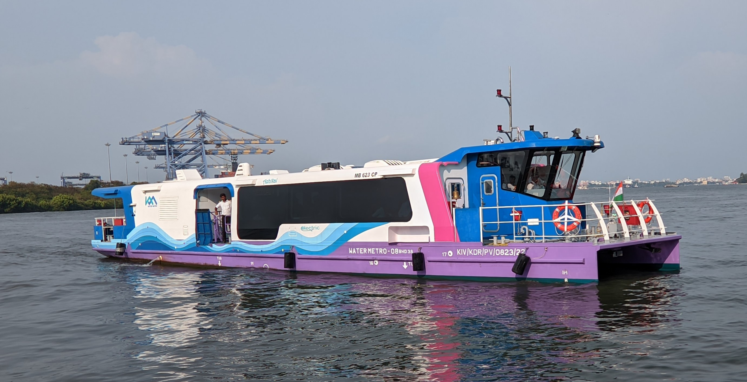
Where the river could not be waded, a boat crossed it, generally at a fixed point with a landing on each side and an operator whose family did it for generations.
The route on either side approached the same two points for centuries. The ferry is the crossing that required a person rather than a structure.
7. The Ferry Driven by the River Itself
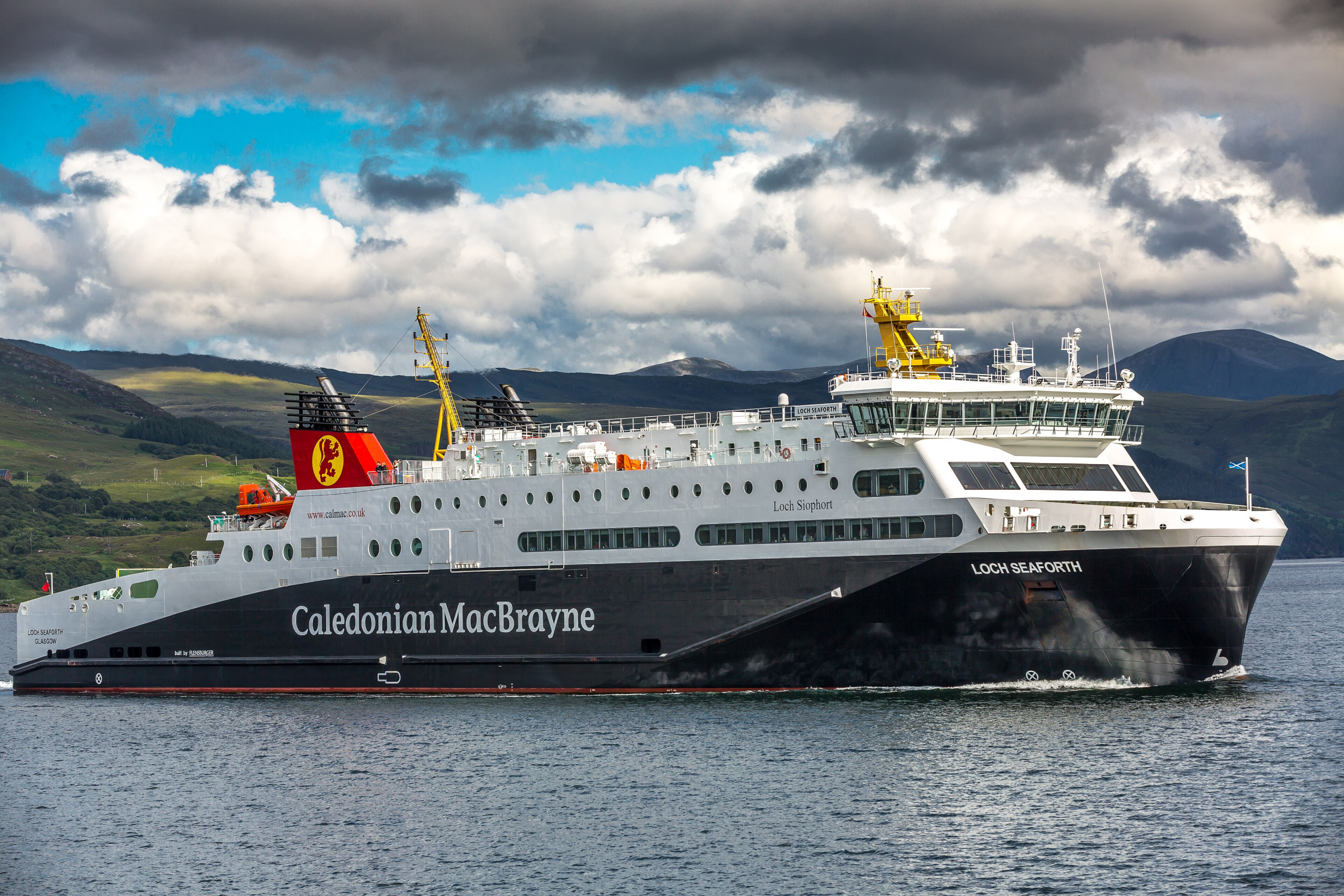
A cable ferry angled against the current is pushed across by the water, using the river to defeat the river and requiring no engine and very little effort.
The angle does all the work. The cable ferry is the crossing powered by the obstacle.
8. The Causeway Across the Floodplain
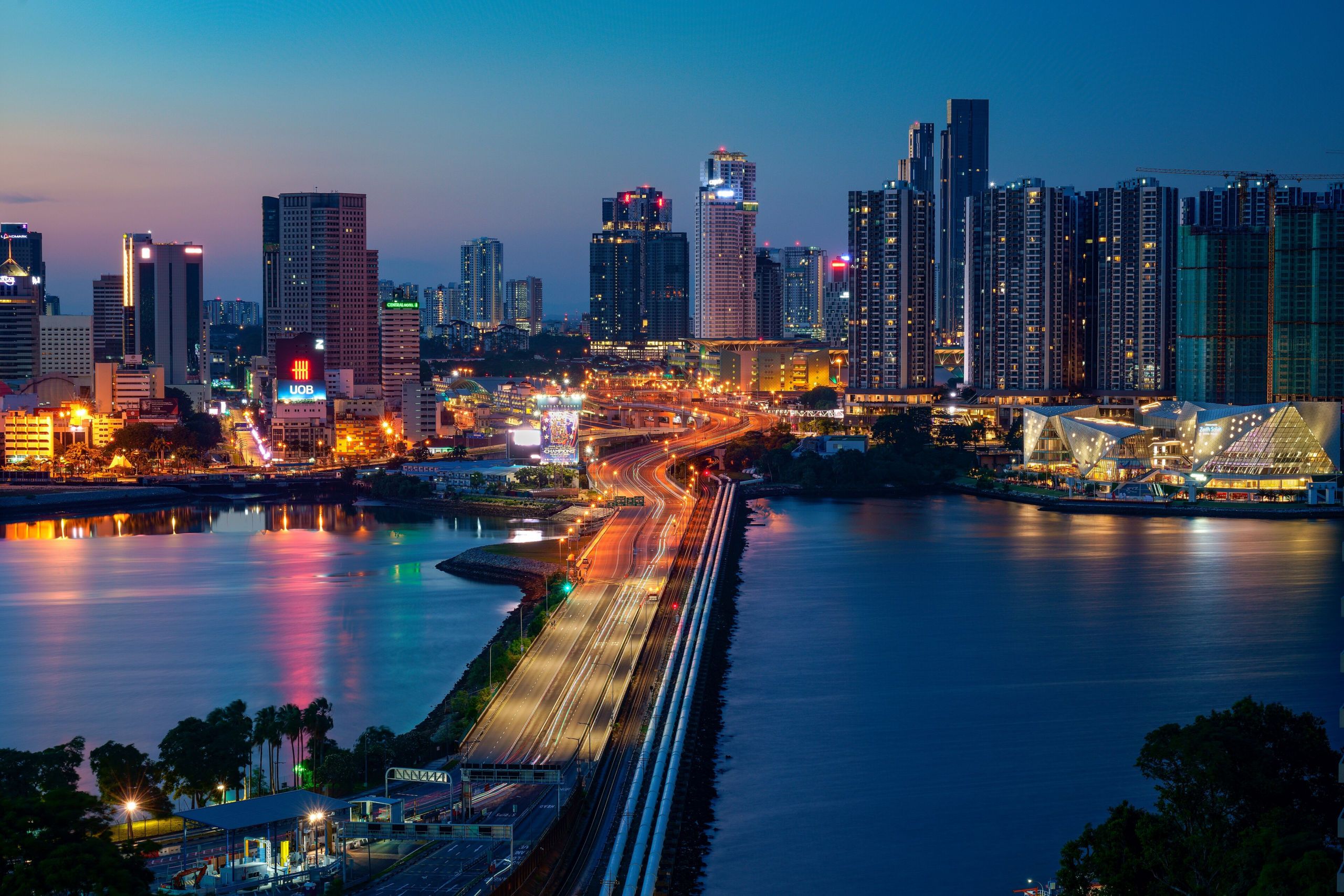
Where the difficulty is not the channel but the wide soft ground beside it, a raised stone or earth causeway carries the route above the flood level.
It is a crossing of the valley rather than of the water. The causeway is the structure built for the ground rather than the river.
9. The Seasonal Crossing
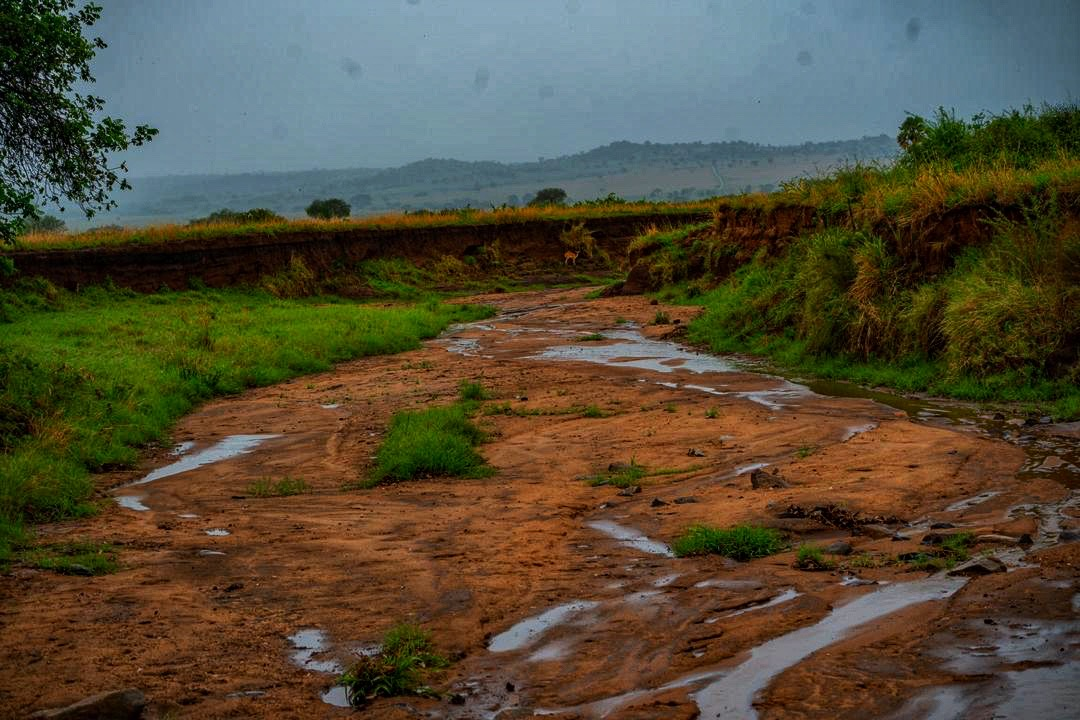
Some points are passable only at low water and disappear entirely for part of the year, so the route exists for a season and then does not.
Local knowledge determined when. The seasonal crossing is the route with an opening and closing date.
10. The Ford and the Bridge Together
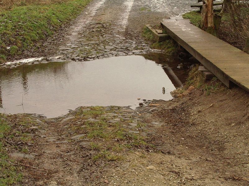
A great many places have both, because the bridge was added later and the ford remained in use for stock, for heavy loads or for anybody unwilling to pay.
The two sit side by side and record two different periods. The paired crossing is the arrangement where the old route survived the new one.
11. The Crossing Somebody Charged For
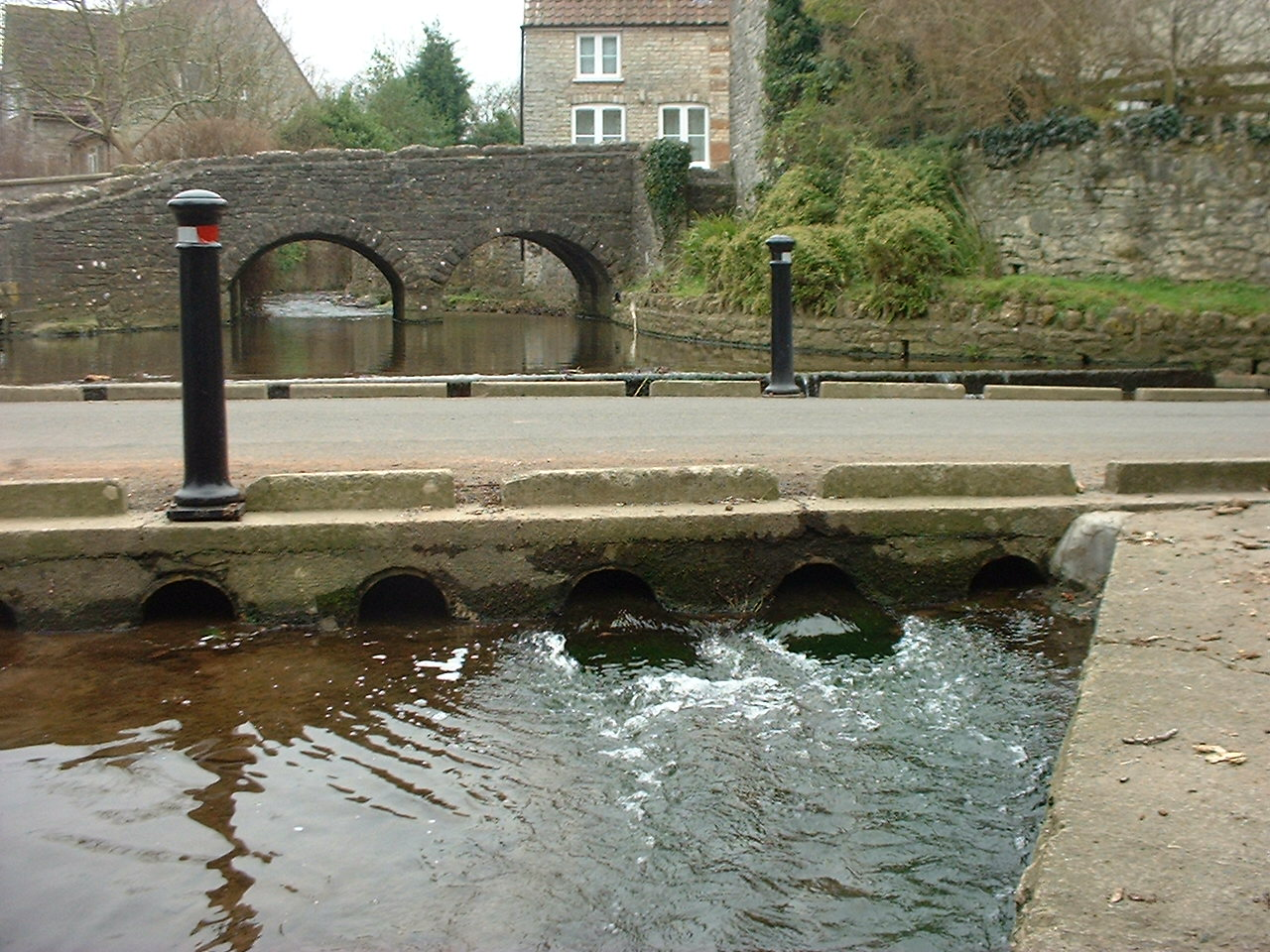
A monopoly created by geography is a monopoly worth having, so crossings were repeatedly controlled and charged for, with the right to do so being valuable property.
Some of those rights persisted for a very long time. The toll crossing is the point where geography became income.
12. The Crossing That Became a Border
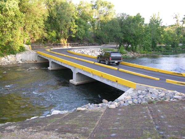
Where a river divides territories, the crossing points are where jurisdictions meet, so control of a ford or a ferry was frequently a matter of considerable importance.
Boundaries and crossings appear together on any old map. The border crossing is the point where the barrier and the frontier coincide.
13. The Rope and the Basket
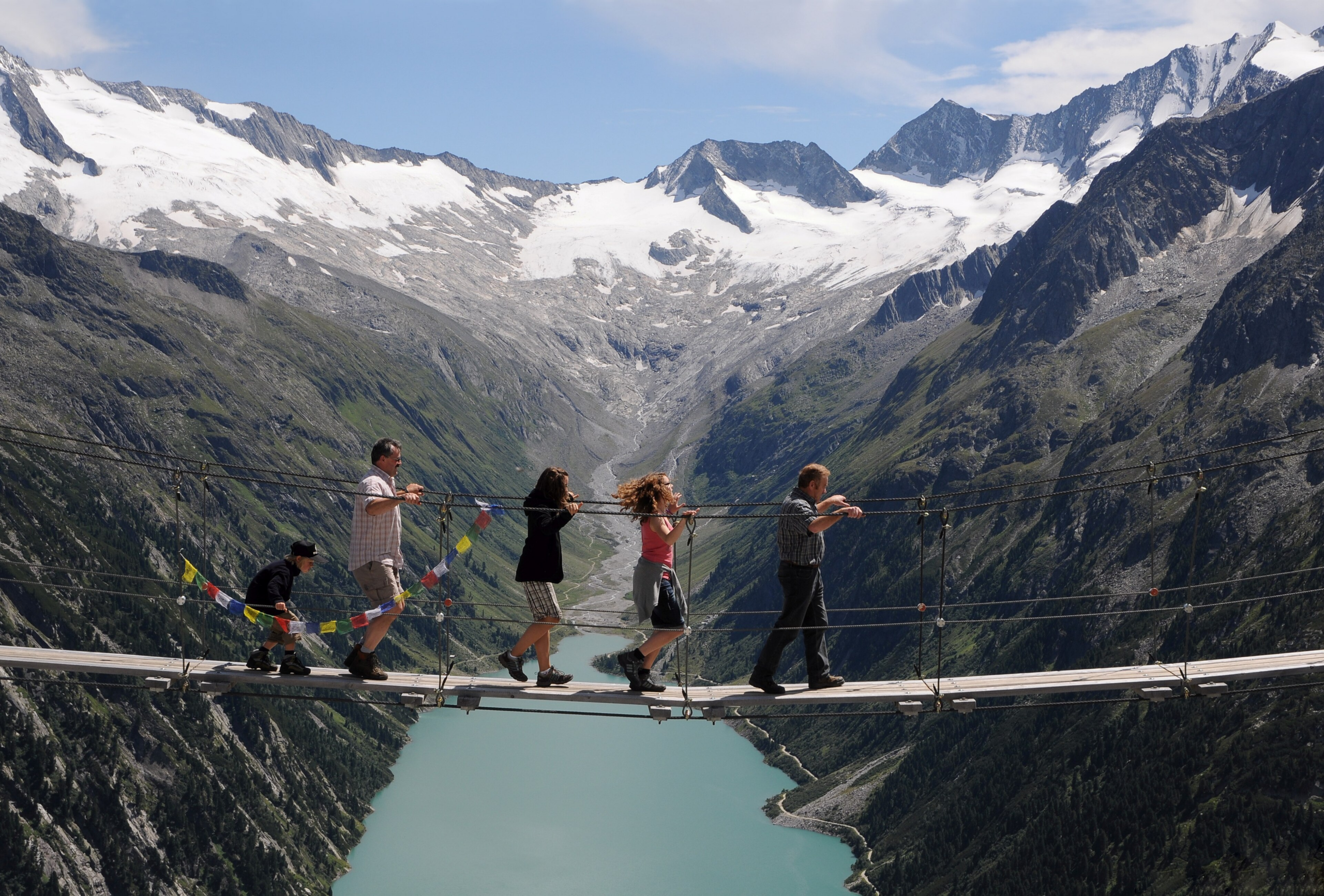
Where the banks are high and the water impassable, a rope carrying a suspended basket or platform moves people and goods across without touching the river.
It is a crossing above rather than through. The aerial crossing is the solution for a river that cannot be entered at all.
14. The Crossing Marked by a Chapel or a Cross
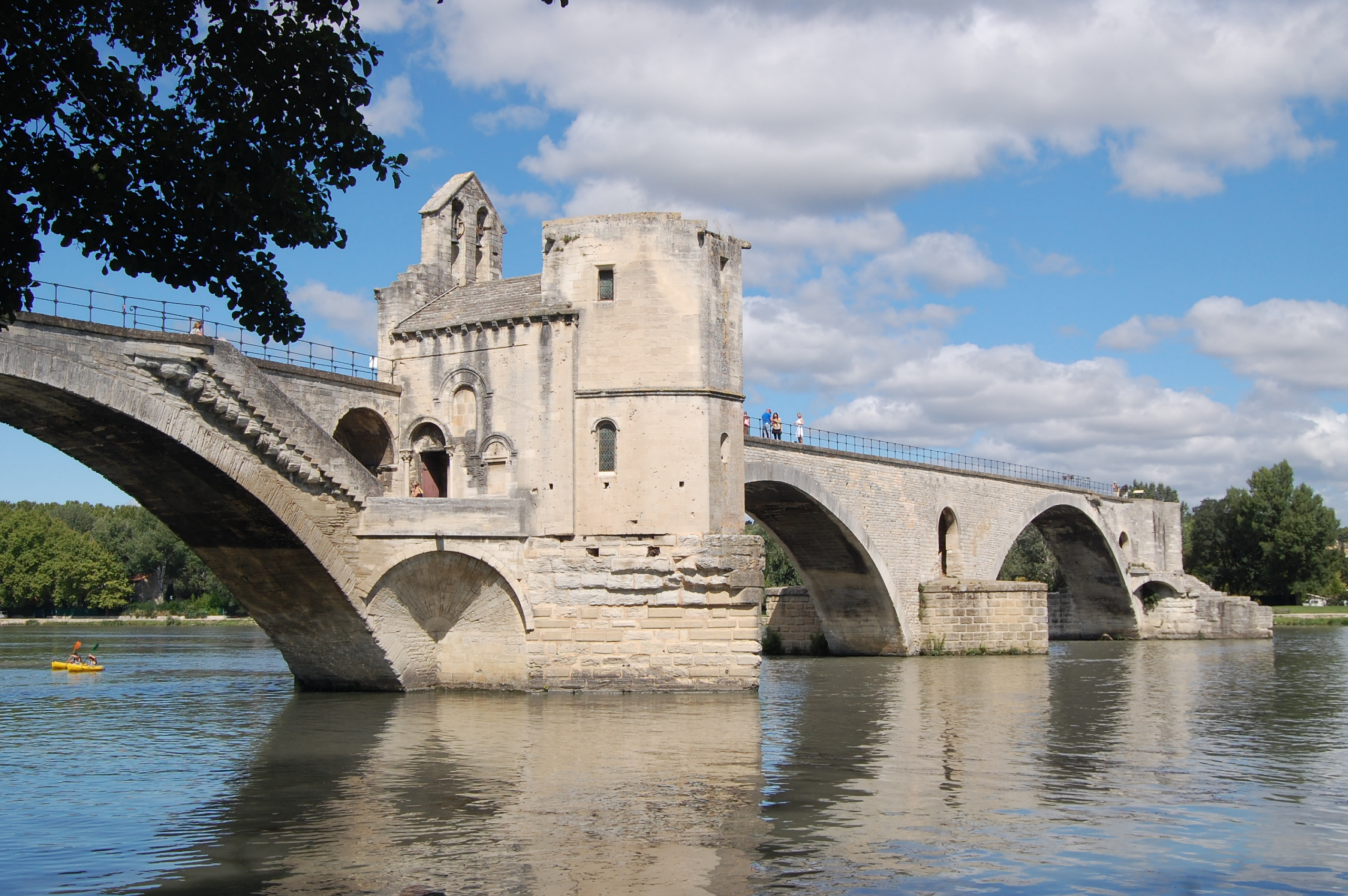
Crossings were dangerous and important, and a great many carried a small structure at one end where travellers stopped before or after.
The building frequently outlasted the route. The marked crossing is the point where the passage was treated as an event.
15. The Crossing That Explains the Whole Road
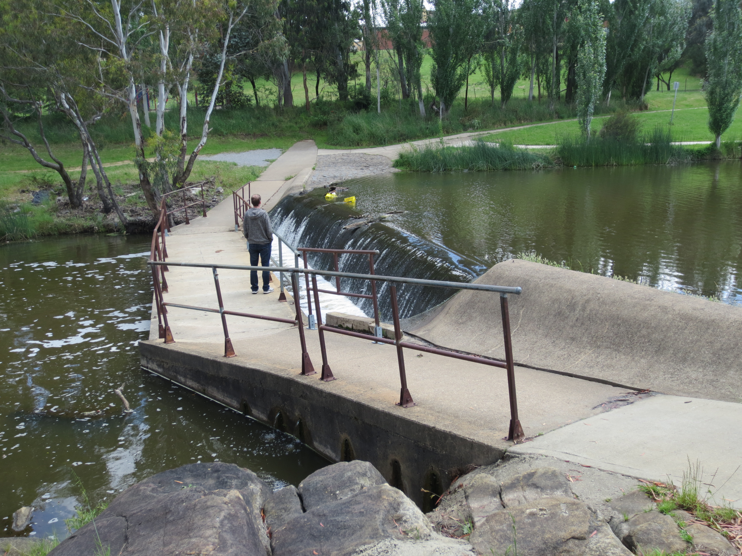
Roads do not run where the terrain is easiest; they run toward the places the rivers can be crossed, which is why routes bend away from the direct line for miles.
Read a map and the crossings explain the geometry. The determining crossing is the reason a road goes where it does.
A Few Places Along Hundreds of Miles
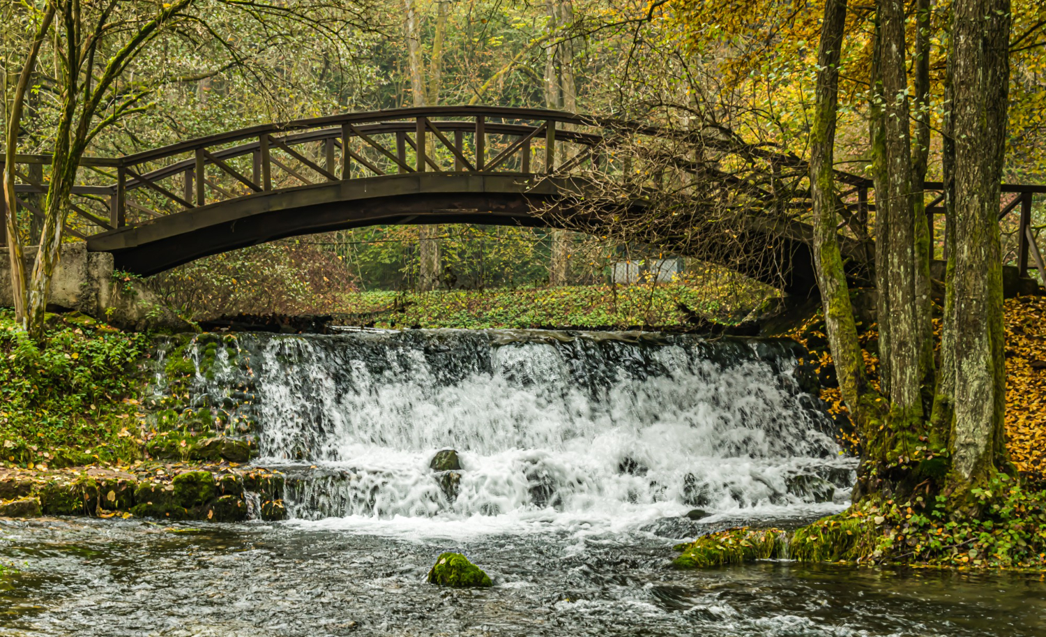
Every entry here exists because a river can only be got over in a handful of places, and everything else – the roads, the towns, the tolls, the borders – arranged itself around those points.
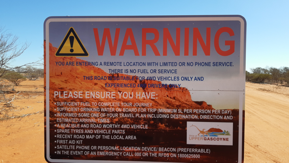
A necessary caution: fords and river crossings are truly hazardous. Depth and current cannot be judged by looking, moving water shifts vehicles at depths that appear trivial, a bed that was firm last season may not be, and a crossing that was safe yesterday may not be today. Use official information and posted warnings rather than judgement, and treat any crossing after rain as one to look at rather than attempt.
Like our content? Follow us for more.