There is a difference between a chronicle and a survey, and it is the difference between knowing what somebody thought was important and knowing what was there.
Chronicles record events their authors considered worth recording, which means kings, battles, disasters and portents. They are indispensable and they tell you almost nothing about how many mills were on a river or what a particular village was worth.
A survey records what it was told to record, systematically, whether or not any of it seemed interesting. That produces something a chronicle never can: a comprehensive snapshot of an entire country at a single moment.
England has one, produced in the 1080s, and it is the reason that period is documented in a way that almost no other pre-modern society is.
What It Actually Recorded
The scope is the striking part, and it is worth setting out precisely.
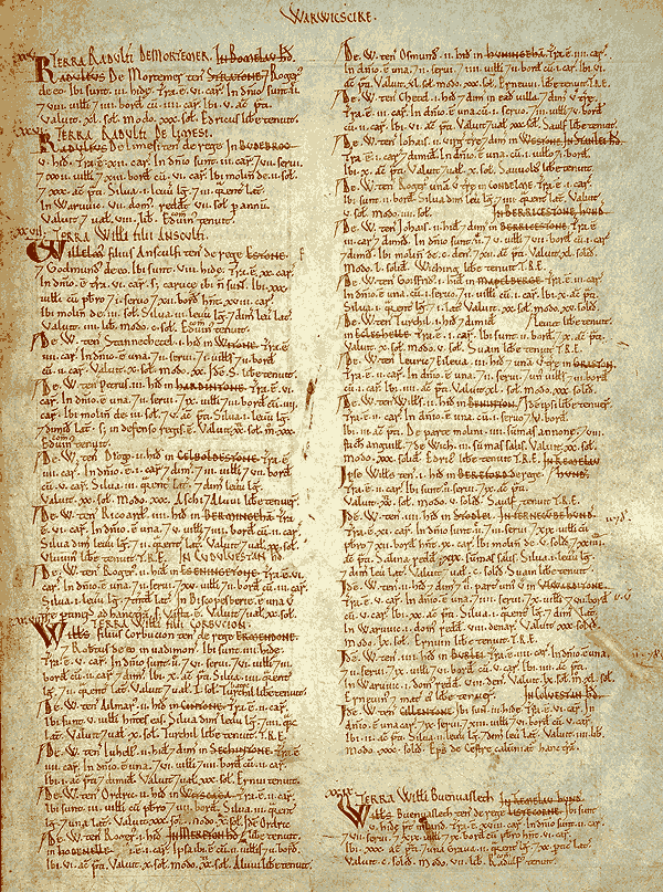
For each landholding, the survey recorded who held it before the conquest and who held it at the time of writing, what it was assessed at for tax, how much ploughland it contained, how many plough teams were working, how many people of various categories were on it, and what it was worth — frequently at more than one date.
Beyond that it recorded mills, fisheries, meadow, woodland, pasture, and in some regions livestock in considerable detail.
The result is not a list of names. It is a functioning economic description of an entire country, organised by landholder within county, in a standard format that allows comparison between places.
There are gaps. Some northern areas are absent or barely covered, and a few significant towns are not included in the surviving text. The coverage is not quite as total as the reputation suggests.
Like our content? Follow us for more.
How Fast It Was Done
The speed is the part that impresses administrators.
The survey was commissioned at the end of 1085 and the main volume appears to have been substantially complete by 1086 — a year or so for the collection, verification and writing up of information covering most of a country.
The method involved commissioners travelling in circuits, each covering a group of counties, gathering information under oath from local juries drawn from each hundred and village.
That is a truly sophisticated administrative design. It uses existing local structures rather than building new ones, it distributes the work geographically, it obtains information from people who actually knew it, and it puts them under oath so the answers carry consequences.
There was also verification. Commissioners appear to have cross-checked returns, and a second circuit is thought to have reviewed the work of the first in some areas, which indicates concern about accuracy rather than mere collection.
Why It Was Made
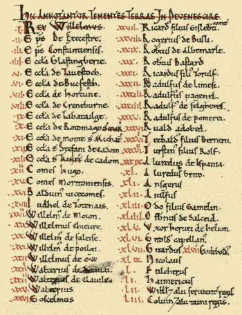
The purpose is debated in its details and reasonably clear in outline.
Tax is the obvious motive. A ruler needs to know what a country is worth in order to assess it, and the survey records tax liability alongside actual value in a way that suggests reassessment was in view.
Establishing landholding is the other major function. A conquest twenty years earlier had transferred an enormous amount of land, and disputes over who held what were numerous. A definitive written record settles them.
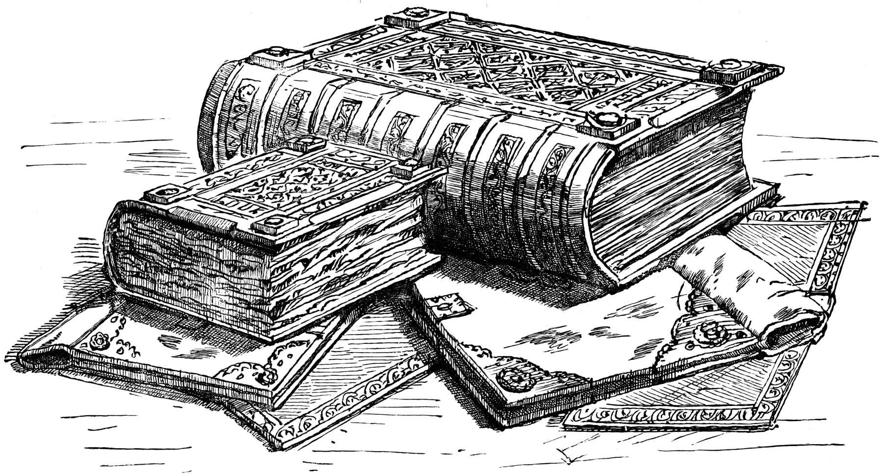
That second purpose explains the name it acquired. It was called Domesday because its verdicts were regarded as final — there was no appeal against what it said, in the way there was no appeal at a last judgement. The name is a comment on its authority rather than on its content.
There are further proposals involving military obligation and general administrative knowledge, and the honest position is that a document this comprehensive probably served several purposes at once.
There is a further point about scale worth registering. The survey covered something in the region of thirteen thousand places, assessed and recorded within roughly a year, by commissioners travelling on horseback in winter conditions.
Comparable national exercises did not occur again in that country for centuries, and when they did they required far greater resources and substantially more time.
What It Tells Historians
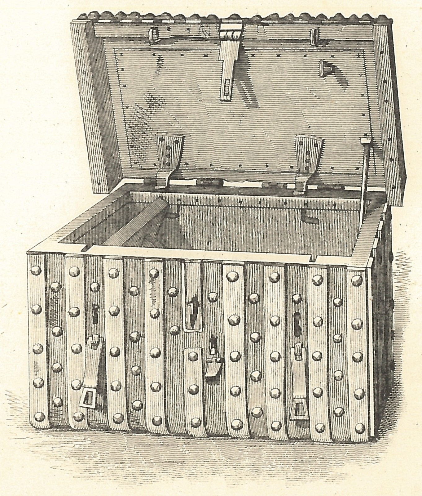
The value is a consequence of the format rather than of any individual entry.
Because it is systematic, it can be aggregated. Population estimates, agricultural capacity, the distribution of wealth, the density of mills, the extent of woodland and the pattern of settlement can all be approached quantitatively for a period where such things are normally guesswork.
Because it records holders before and after, it documents the scale of a transfer of property that would otherwise be known only in outline.
Because it names places, it establishes that an enormous number of settlements existed at that date, which is why so many places can trace a documented existence to it.
And because it uses standard categories, differences between regions become visible — including that some areas were organised quite differently from others, which the categories occasionally struggle to accommodate.
The limitations matter equally. It records what commissioners were told, by people with reasons to understate. It uses categories that flatten local variation. And the people recorded are heads of holdings rather than a population count, so any demographic use requires assumptions.
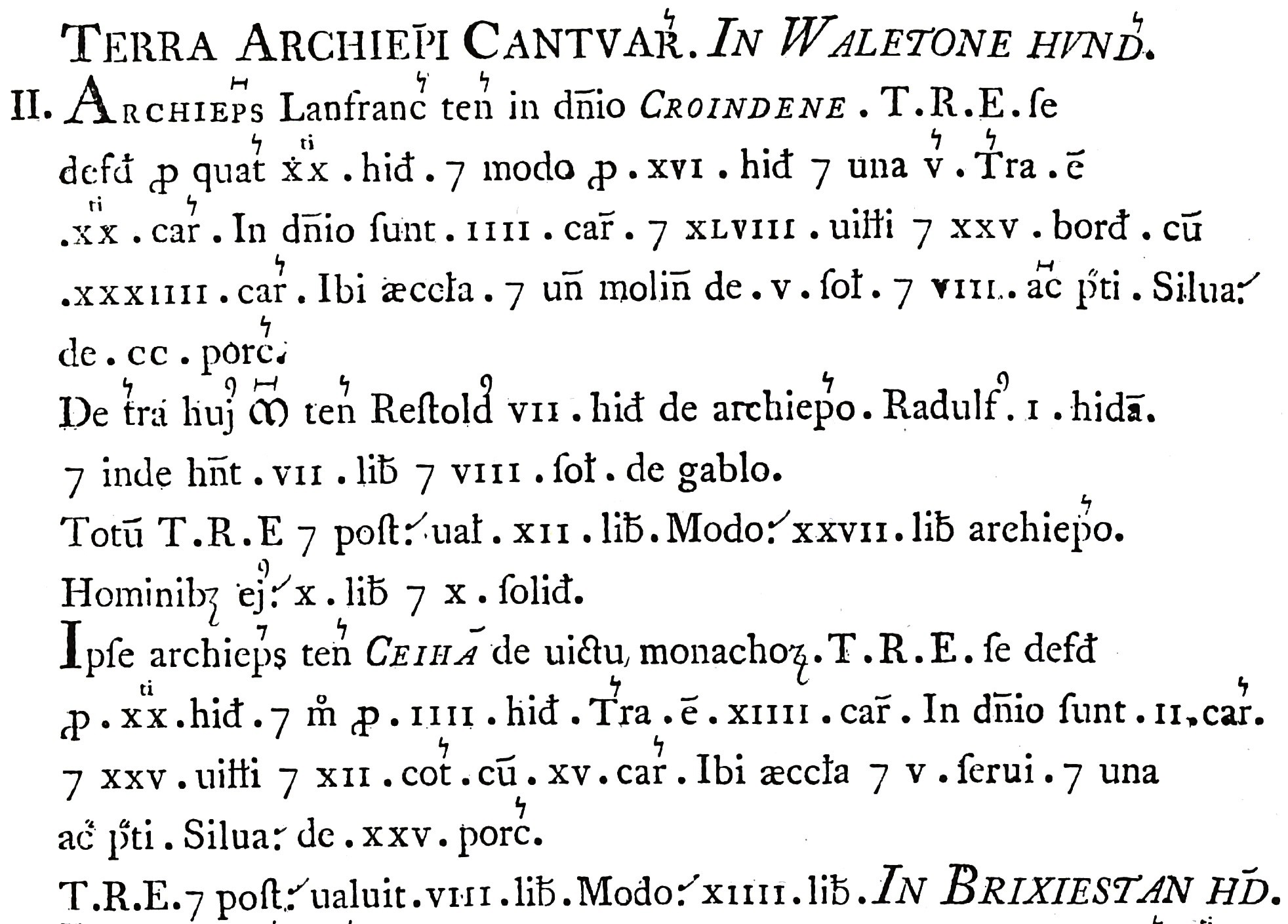
There is a physical detail worth noting. The main volume is written in a highly abbreviated Latin, in a compressed hand, using a standard set of contractions – which is what allowed a country’s worth of information to fit into a single manageable book.
That compression is itself an administrative achievement. Somebody designed a format that made the material findable, comparable and portable, and the result can still be read by anybody trained in the conventions.
Still Being Cited
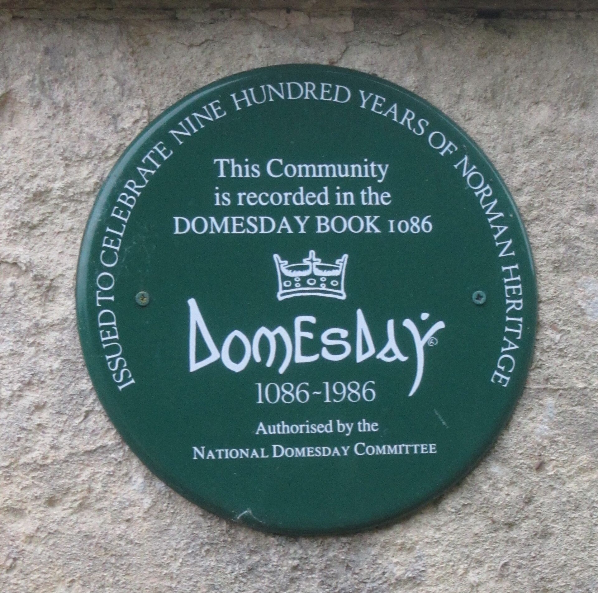
The afterlife is the detail that surprises people.
The document did not become historical immediately. It remained an administrative instrument for centuries, consulted in property disputes and cited as evidence of ancient tenure, which is why it was kept rather than discarded.
That practical use continued for a remarkably long time, and questions of ancient rights and customary status have been argued with reference to it well into the modern period.
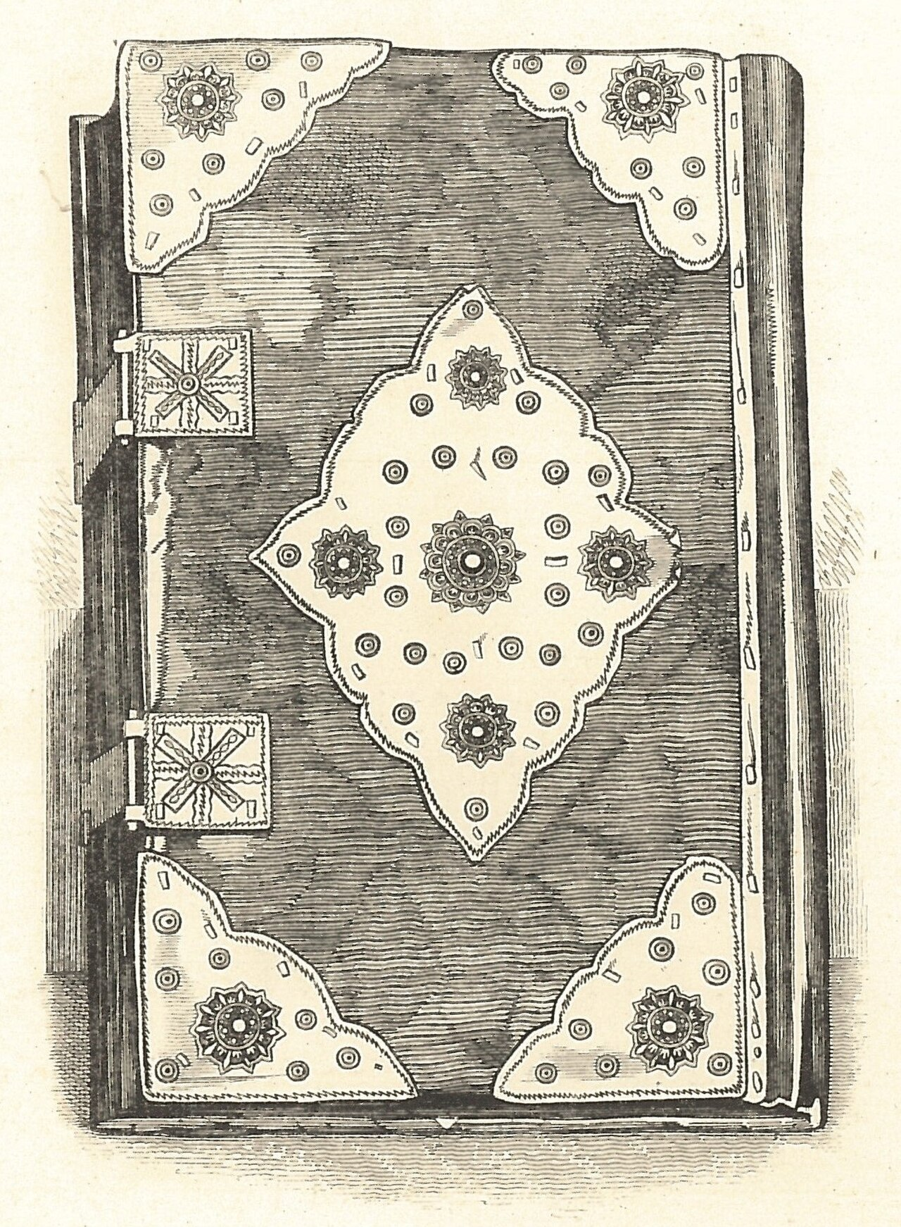
It has therefore never left official custody. It was not lost, rediscovered or reassembled; it has been held continuously since it was made, which is an unusual provenance for anything of that age.
That continuity is itself a product of the same quality that made it useful. A document that answers questions people keep needing answered does not get thrown away.
The Companion Volume
There is a second book, and the relationship between the two is more informative than it first appears.
The main volume covers most of the country in a condensed form. A separate, smaller volume covers a few eastern counties in substantially more detail — recording livestock, listing more categories of people, and preserving information the main book omits.
The generally accepted explanation is that the smaller volume represents an earlier stage of the process, containing the returns as they came in, and that the main volume is a summary produced from material of that kind for the rest of the country.
That would mean the detailed version is what the survey actually collected everywhere, and the condensed version is what somebody decided was worth keeping.
If so, an enormous quantity of information was gathered and then deliberately discarded during the write-up — and the surviving detailed volume is a sample of what the rest would have looked like.
It also indicates that the project was not completed as intended. The summarising appears to have stopped, which is generally connected to the death of the king who commissioned it, leaving the eastern counties in their fuller form by accident rather than by design.
That accident is why historians can see both what was collected and what was kept, which is an unusual thing to be able to compare.
What Makes It Unusual
Set against comparable societies, the survey is an outlier in a specific way.
Other medieval states kept records, and many kept extensive ones. What is unusual here is the combination: comprehensive coverage of a whole country, in a single standardised format, completed in a very short period, and preserved intact.
Most administrative records survive as fragments — a few rolls, a partial archive, a single region. This is a complete document about a complete country at a single moment.
That is why the period is so well studied relative to its neighbours. Not because more happened there, but because somebody wrote it all down in one place and it did not burn.
Which is a reminder about how historical knowledge is actually distributed. What we know about the past is shaped less by what was significant than by what happened to be recorded systematically and then happened to survive — and this is the clearest illustration available of both halves.
Like our content? Follow us for more.