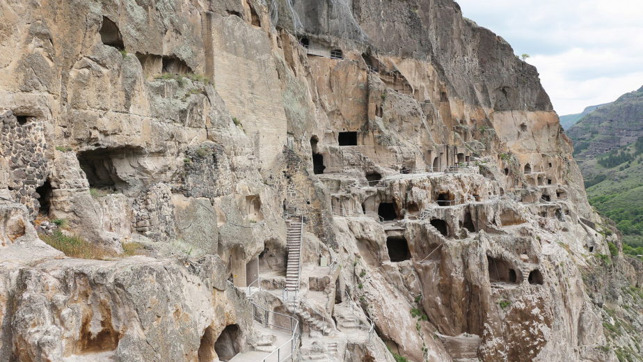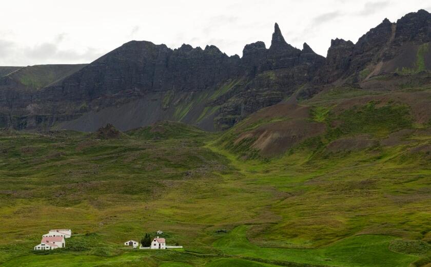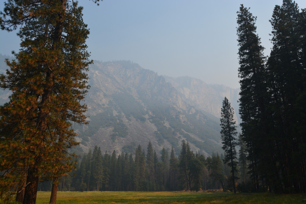
A treeline is not one phenomenon. It is wherever a particular limiting factor becomes severe enough, and the factor differs entirely between a mountain, a bog, a coast and a grassland. Here are fourteen.
1. Trees Need Enough Warm Days to Build Tissue
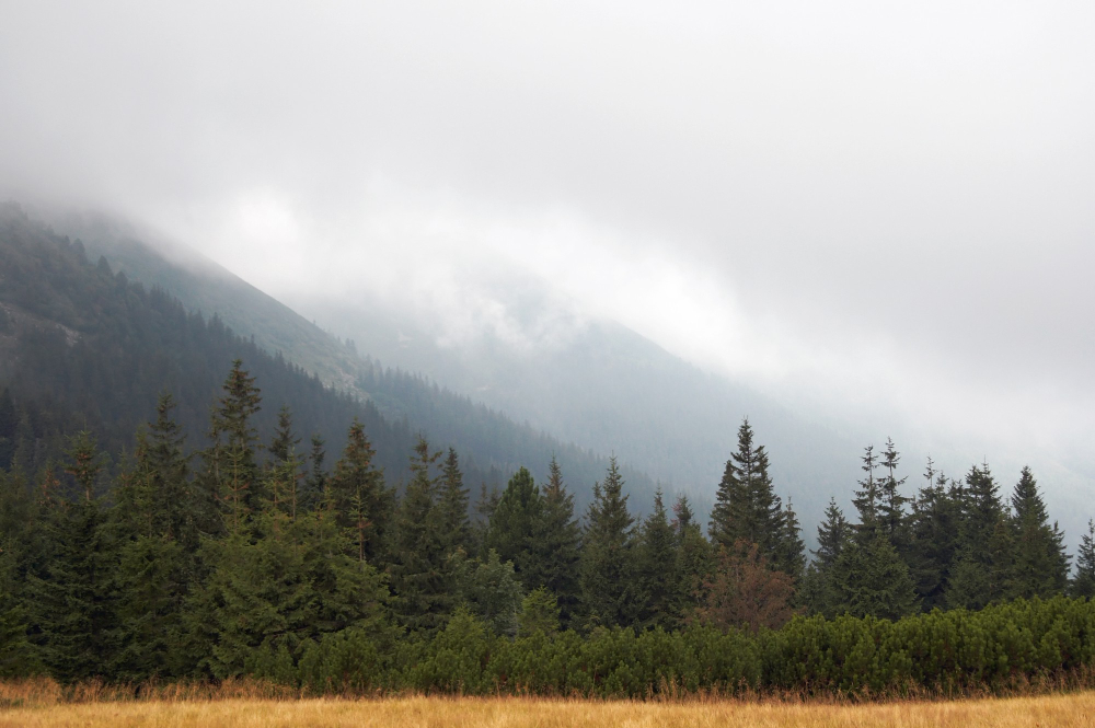
The leading explanation for high-altitude and high-latitude limits is not that photosynthesis fails but that the growing season is too cold for trees to form new wood and roots.
Energy is available and cannot be assembled into structure. Tissue formation is the constraint that sets the cold treeline.
Like our content? Follow us for more.
2. Which Is Why the Limit Tracks Temperature Rather Than Height
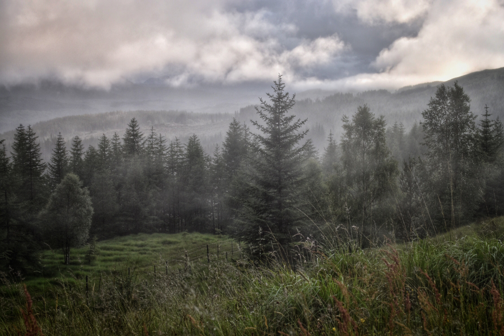
Because the constraint is growing-season warmth, the treeline sits lower toward the poles and higher toward the equator, following temperature rather than altitude directly.
The same species stops at different heights in different latitudes. Temperature tracking is why the line is not a fixed elevation.
3. Wind Removes Water and Breaks Growth
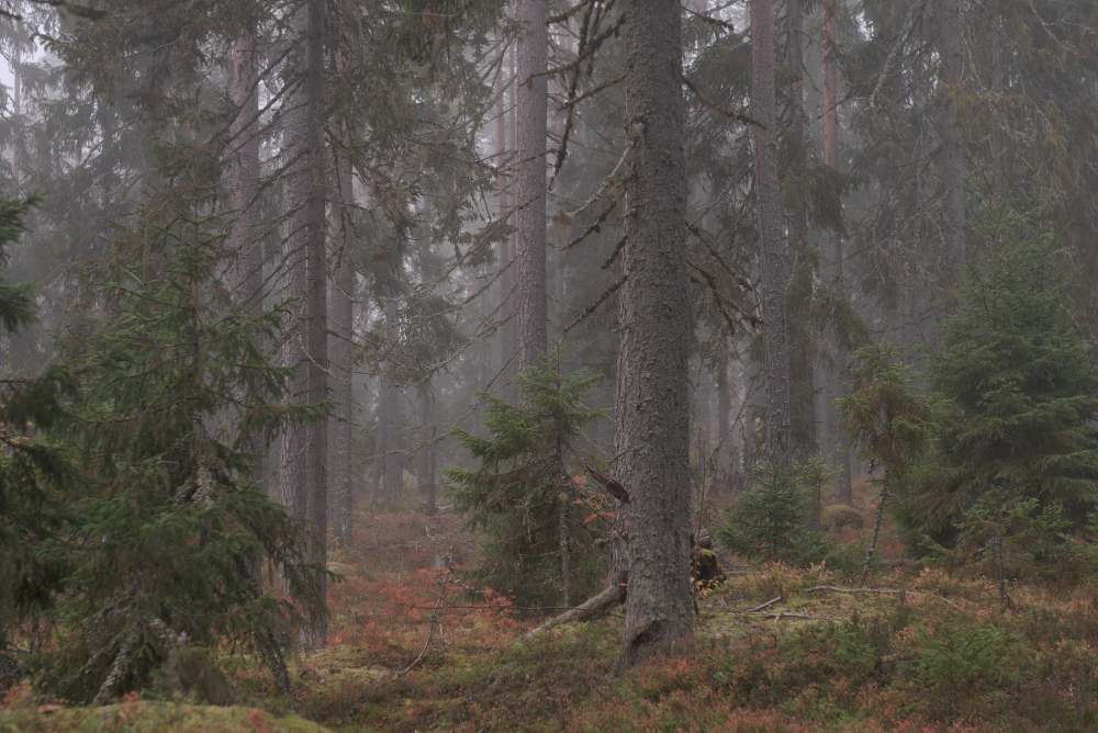
Persistent wind strips moisture from foliage faster than frozen ground can supply it, and physically damages new growth, which prevents anything reaching height.
It is drying and breaking at the same time. Wind exposure is the second constraint operating at most upper limits.
4. So the Last Trees Are Deformed
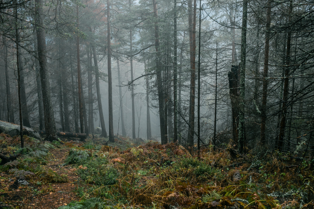
Near the limit, trees grow low, twisted and flagged to one side, with branches only on the sheltered face – a form produced entirely by wind rather than by any species difference.
They can be very old and very small. Deformed growth is the visible signature of the transition zone.
5. Snow Protects What Stays Low
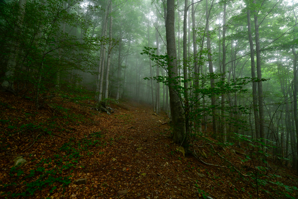
Where snow lies deep, anything beneath it is insulated and sheltered while anything projecting above is exposed to the full conditions.
That sets a height limit rather than a presence limit. Snow depth is why some plants thrive exactly as high as the drift reaches.
6. The Transition Is a Zone, Not a Line
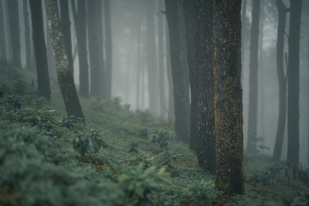
Forest gives way through a belt of scattered, stunted and increasingly separated individuals, which can extend over a considerable vertical distance.
Where you draw the line is a decision. Gradual transition is why treeline elevations are always approximate.
7. Some Treelines Are the Wrong Way Round
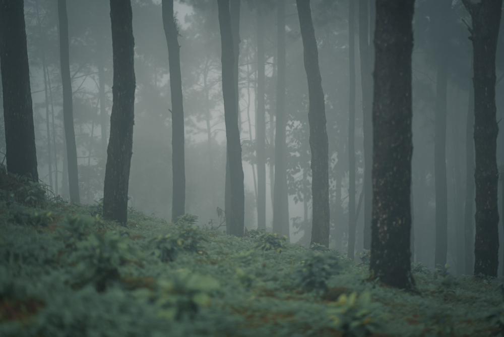
In dry regions trees are limited from below rather than above, growing only where enough moisture reaches and stopping at the lower edge of that band.
The forest occupies a belt with open ground both above and below. Inverted limits are the arid version of the same boundary.
8. Water in the Ground Excludes Them
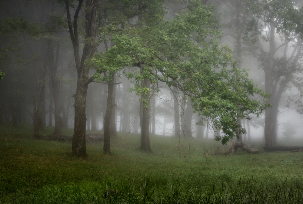
Permanently waterlogged ground starves roots of oxygen, which most trees cannot tolerate, so bogs and marshes remain open regardless of climate.
A few specialists manage it. Waterlogging is a treeline set by drainage rather than by weather.
9. Salt Does the Same on a Coast
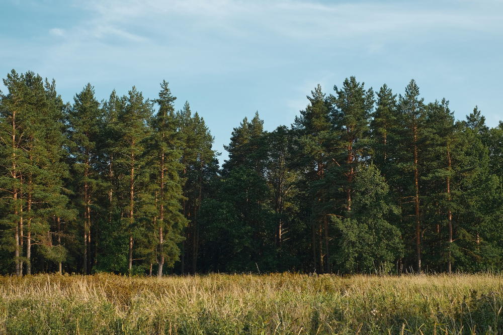
Salt spray and saline soil prevent tree growth along exposed shorelines, producing a boundary that follows the coast rather than any contour.
The vegetation shortens progressively toward the water. Salt exposure is the coastal version of the limit.
10. Fire Resets It Repeatedly
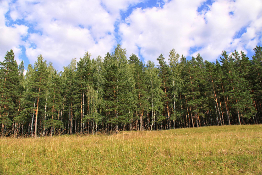
Where fire is frequent enough, young trees are killed before they mature, and ground that could support forest remains open indefinitely.
The vegetation reflects the interval rather than the climate. Fire frequency is a treeline maintained by disturbance.
11. Animals Eat the Next Generation
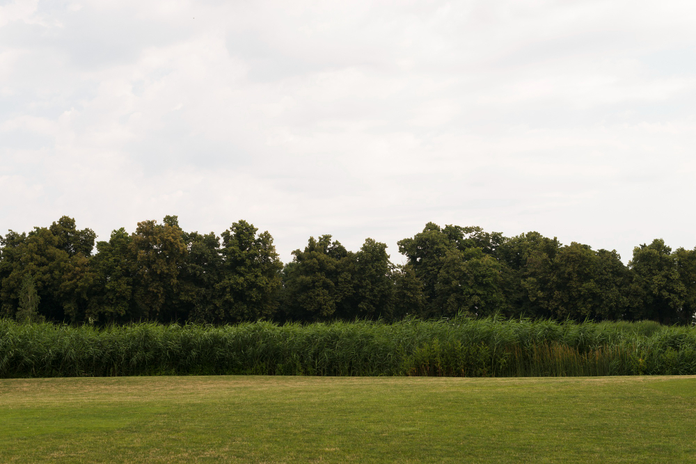
Grazing and browsing remove seedlings, so mature trees survive while nothing replaces them – producing a woodland that looks stable and is not regenerating.
The absence of young trees is the diagnostic. Browsing pressure is a limit visible only in what is missing.
12. The Soil Runs Out Before the Climate Does
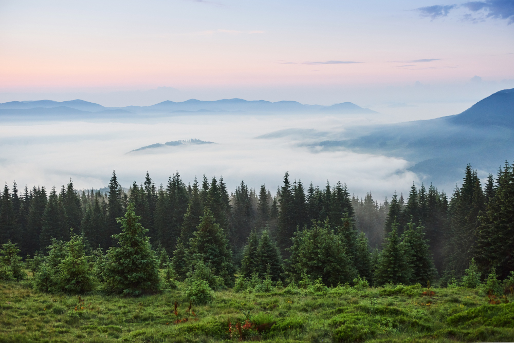
Bare rock, scree and unstable slopes provide nothing for roots, so trees stop where the substrate does rather than where conditions become severe.
The line follows the geology. Soil availability is the constraint that ignores the weather entirely.
13. A Great Many Treelines Are Not Natural
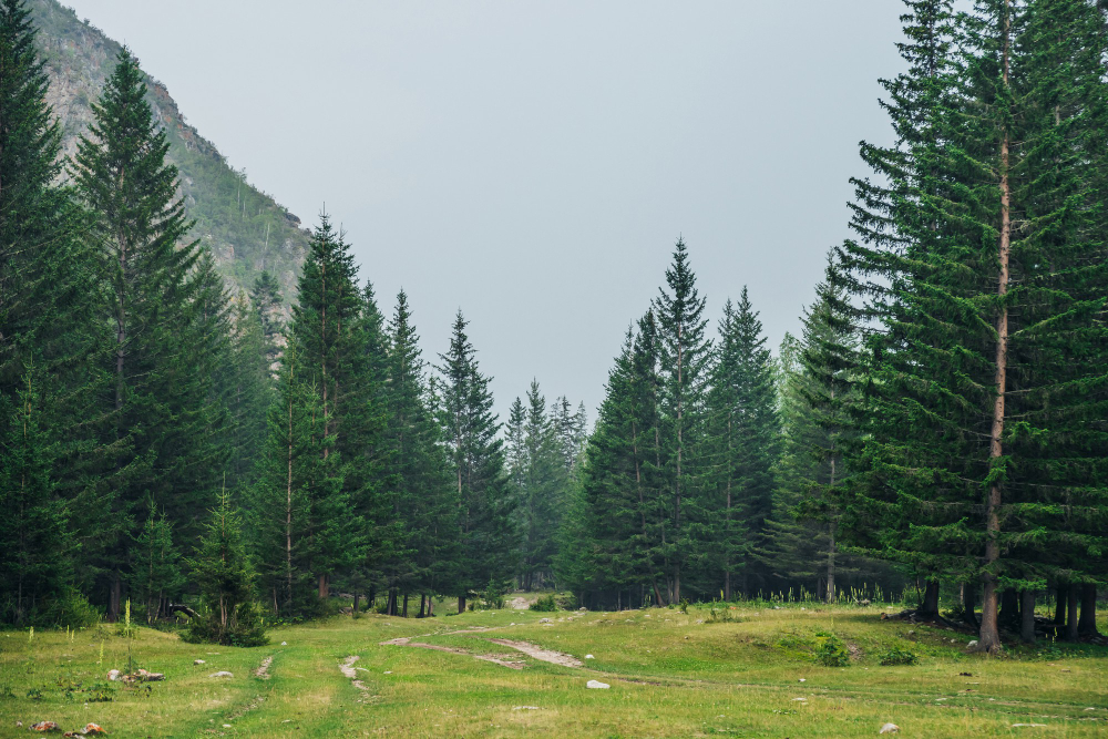
Centuries of clearance, grazing and burning have lowered treelines substantially in many regions, so the boundary reflects land use rather than any environmental limit.
Trees frequently grow perfectly well above it when protected. Historic clearance is why the line is often lower than it could be.
14. And They Move
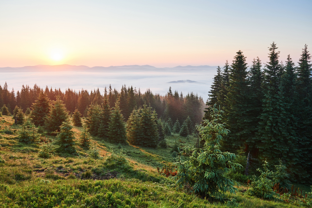
Treeline positions shift over long periods in response to changing conditions, so the line seen now is a snapshot of something that has been elsewhere before.
Old stumps above a current treeline record that directly. Positional change is why a treeline is a process rather than a fact.
Different Limits in Different Places
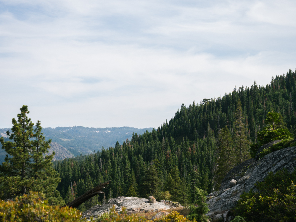
Cold, wind, snow, drought, waterlogging, salt, fire, grazing and soil – each produces a boundary, and telling which one you are looking at is a matter of reading the last trees rather than the open ground.
Practical note: above a treeline there is no shelter, and that is the whole point of the boundary – the conditions that stop trees are the same conditions you are then standing in. Wind, exposure and the absence of anything to get behind change the situation substantially, and weather above the line bears little relation to the forecast for the valley below.
Like our content? Follow us for more.