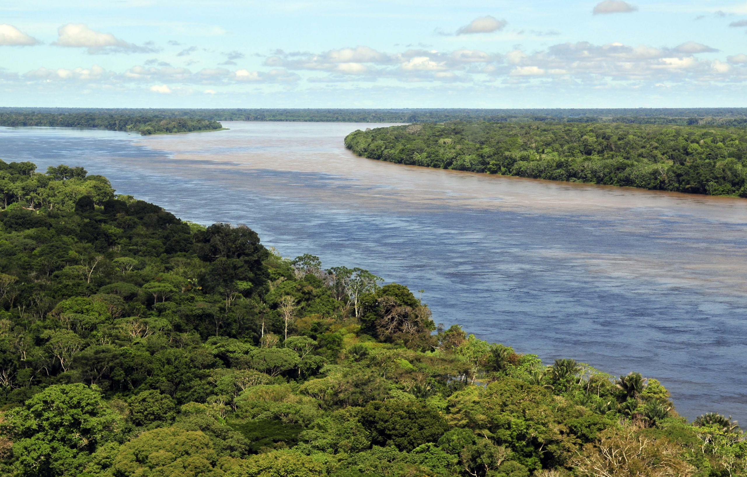
Look at a map of the Amazon and something is missing, though it takes a moment to notice. The river runs roughly 4,000 miles from the Andes to the Atlantic, through several countries, past cities of well over a million people. And nothing crosses it.
Not one bridge. Along the entire main stem, from the mountains to the sea, there is no fixed crossing of any kind. Everything moves by boat.
This is truly unusual. Comparable rivers are stitched with bridges — the Danube and the Yangtze have well over a hundred each — and the Amazon’s absence is stark enough that it surprises almost everyone who learns it.
The instinctive explanation is that the river is too big to bridge. That is not quite right, and the actual answer is more interesting, because it is largely an economic one. Here is why the Amazon has no bridges.
The Honest Answer From an Engineer
Walter Kaufmann, chair of structural engineering and bridge design at the Swiss Federal Institute of Technology in Zurich, gave the explanation to Live Science in the plainest possible terms: there is no sufficiently pressing need for a bridge across the Amazon.
That is the core of it. Bridges are built where a road on one side needs to meet a road on the other, and where enough people and goods want to make that journey to justify the cost.
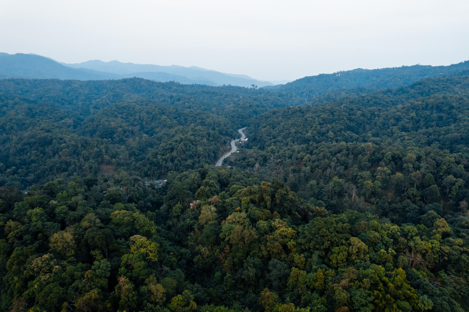
Along most of the Amazon, neither condition holds. The river runs through sparsely populated country, and there is very little road network on either bank for a bridge to connect to. A bridge to nowhere, from nowhere, is not an attractive proposition regardless of the engineering.
Where there are substantial towns and cities, ferries and boats already do the job. River transport is deeply established across the basin — it is how people, goods and produce have always moved — and it works. In a region where the waterway is the highway, a bridge solves a problem most people do not have.
Like our content? Follow us for more.
Why It Would Also Be Very Hard
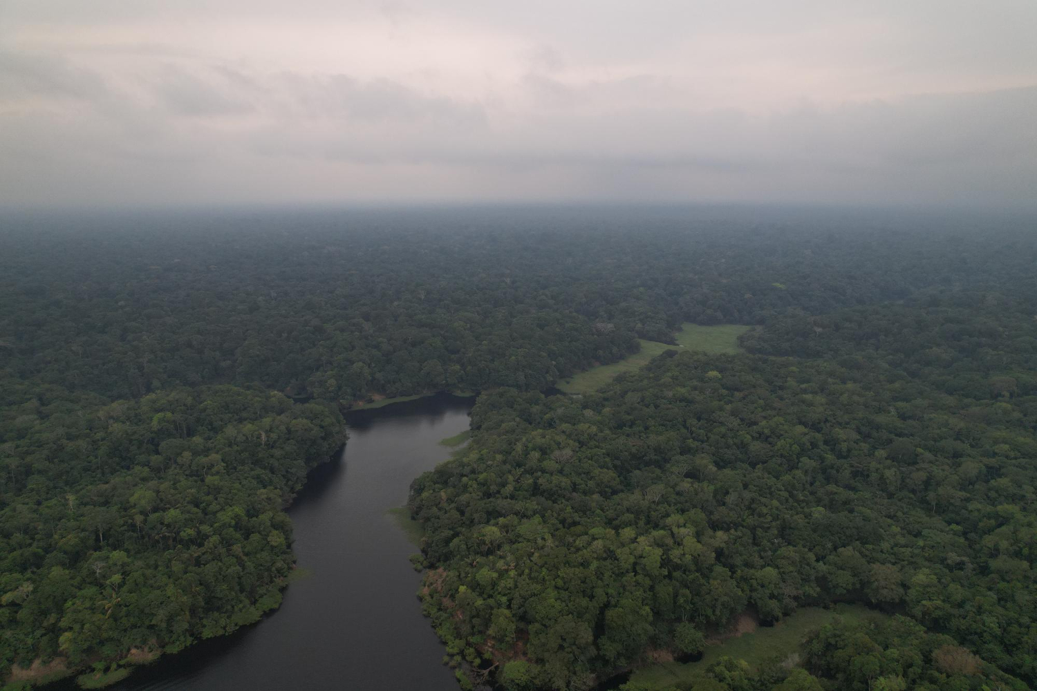
The demand problem is decisive, but the technical difficulties are real, and Kaufmann has detailed them.
The first is that the Amazon does not have a fixed channel in the way European rivers do. Its floodplain extends for dozens of kilometres in each direction. In the dry season, near cities like Manaus, the main river is roughly four to five kilometres wide. When the rains swell the basin between December and May, the water spreads across the flooded forest to exceed ten, fifteen, and in some stretches twenty kilometres between the outer shores.
At that scale the banks stop being lines. They vanish under flooded forest, seasonal lakes merge with the main channel, and the concepts of left bank and right bank become truly blurred for months of the year.
A bridge would therefore have to anchor its approaches on ground that is submerged under several metres of water for half the year, which means kilometres of approach viaducts built over swamp and unstable soils.
The second problem is what is underneath. Kaufmann has noted that the river’s wetlands and soft soils would require extremely long access viaducts and very deep foundations. Riverbed sediment offers poor support for the piers a long-span bridge needs.
The third is the pronounced annual change in water depth, which complicates everything about the design. Kaufmann described the Amazon environment as among the most challenging in the world.
There is also maintenance. The humid tropical climate accelerates corrosion and wear, and moving heavy machinery, steel and concrete deep into rainforest is a substantial logistical undertaking on its own.
The Bridge That Does Exist
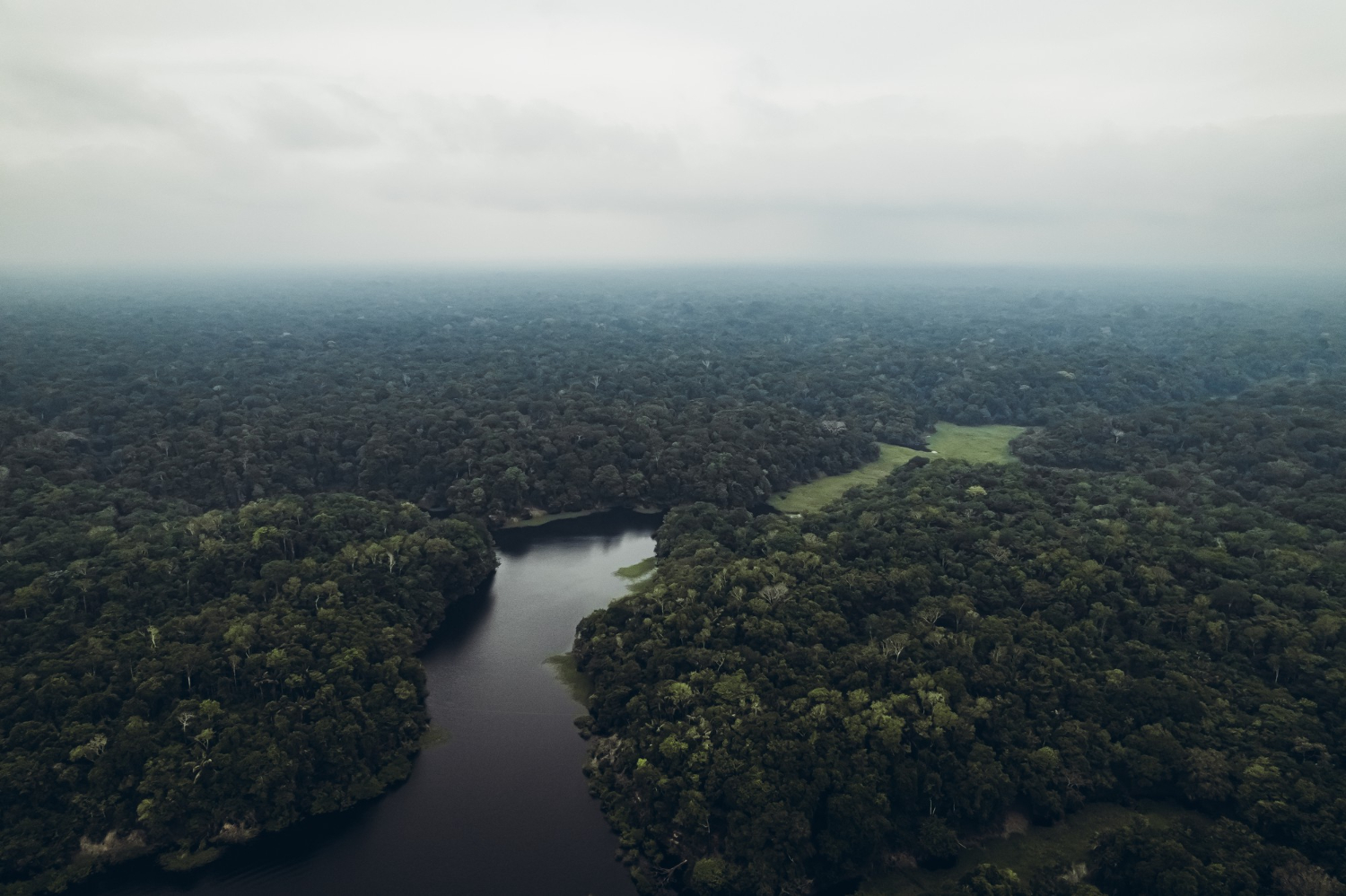
There is one major bridge in the region, and it is frequently misreported.
The Ponte Rio Negro, completed in 2011, runs about 2.2 miles and connects Manaus with Iranduba. It cost in the region of 570 million dollars.
But it crosses the Rio Negro, the Amazon’s largest tributary, not the Amazon itself. It remains the only major bridge across any Amazon tributary.
The distinction matters practically as well as pedantically. As Wikipedia’s entry on the bridge notes, a vehicle leaving Manaus still has to make a ferry connection across the main stem of the Amazon to reach the highway on the south side. The bridge shortened one journey; it did not connect the city to the road network beyond the river.
Elsewhere, a bridge over Peru’s Nanay River — another tributary — has been under construction with repeatedly delayed completion dates.
The Bridge That Was Proposed
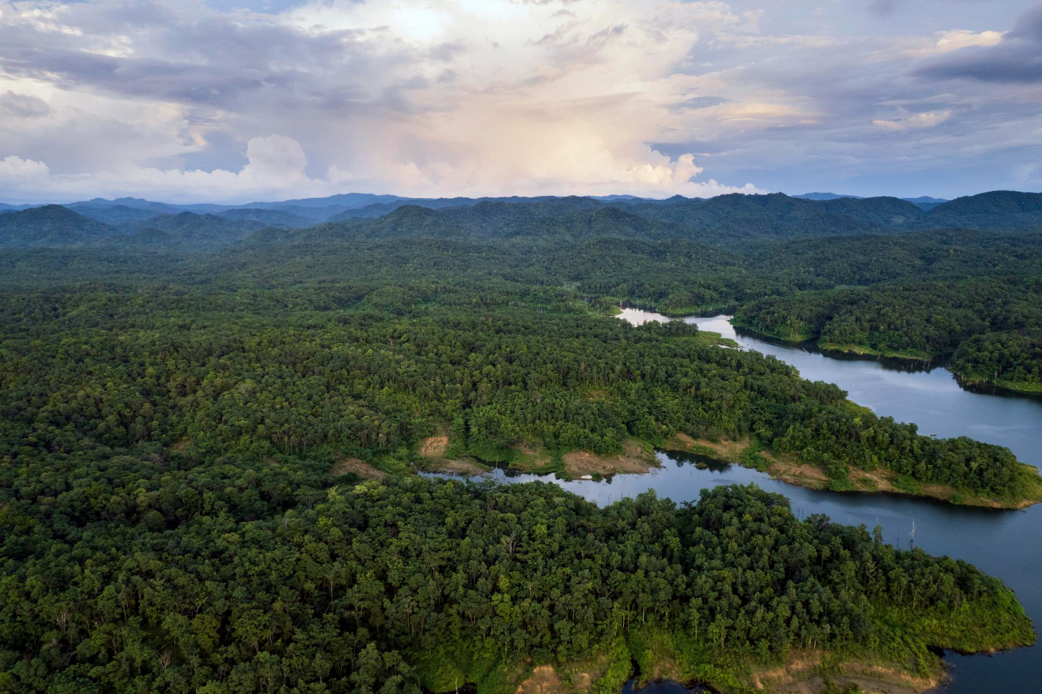
After the Rio Negro bridge opened, provisional plans were drawn for a crossing of the Upper Amazon, known there as the Solimões River, at the municipality of Manacapuru. It would have connected the BR-319 highway to Manaus and removed the ferry crossing.
The reasoning against it is instructive, and it came from Philip Fearnside, an American biologist and conservationist who has spent much of his career working in Brazil. He described BR-319 as a high political priority without economic justification, noting that it is cheaper to move products from the factories in the Manaus Free Trade Zone to São Paulo by water than by road.
That is the economic case in one sentence. The river already provides the cheapest freight route available. A road and bridge would be an expensive alternative to something that works.
Fearnside has also been clear that the absence of current plans does not mean it will never happen.
The Argument Nobody Expected to Be About Trees
There is a further dimension that turns a bridge question into an environmental one, and it explains why the topic is contested rather than merely technical.
Roads through rainforest are strongly associated with deforestation, because access is the precondition for clearing. Fearnside, writing for Mongabay about the proposed BR-319 development, argued that such a bridge would give deforesters access to a large area of currently difficult-to-reach forest.
That reframes the entire calculation. A bridge across the Amazon is not simply a transport project; it is a decision about opening a road corridor into forest that is presently protected by inaccessibility.
This is stated here as the documented position of researchers who work on the question rather than as an argument for any policy. What is not in dispute is that the bridge debate and the deforestation debate are the same debate, which is part of why the crossing has not been built.
Since there is no bridge, it is worth describing what the alternative looks like in practice, because it is a functioning transport system rather than an absence.
River transport on the Amazon is extensive and organised. Passenger boats run scheduled routes between towns, often over journeys of days, with travellers slinging hammocks in rows on the open decks. Cargo moves the same way, on barges and mixed freight-passenger vessels.
For vehicles, ferries operate at the crossings that matter, including the route out of Manaus toward the southern highway. These are working links in the road network rather than tourist services, and journey times are measured in hours.
Smaller craft handle everything else. Motorised canoes serve villages that have no road access at all, and for a substantial number of communities across the basin, the river is the only route in or out.
The consequence is that the region’s transport geography is oriented along the river rather than across it. A bridge would serve traffic that mostly does not exist, because the settlement pattern grew around water, not around roads waiting to be joined up.
The Scale That Makes It Hard to Picture
Some numbers help explain why the river resists being spanned.
The Amazon discharges more water than the next several largest rivers combined, and its plume of fresh water is detectable in the Atlantic well over a hundred miles offshore. At its mouth the river system is so wide that it contains an island roughly the size of Switzerland.
Depth is equally awkward for bridge-building. Substantial stretches run tens of metres deep, and ocean-going ships reach Manaus, roughly 900 miles inland, which means any crossing would need clearance for real maritime traffic rather than river barges.
The channel also moves. The river actively erodes one bank while depositing on the other, so its course shifts over time in ways that make a fixed structure a long-term commitment to a location the river has not agreed to.
Put those together — enormous width that varies seasonally, great depth, shipping clearance, soft bed, migrating channel — and the engineering brief becomes formidable even before anyone asks who would use it.
A River That Stayed Wild by Accident
The result is a unusual situation in the twenty-first century: one of the world’s great rivers, running past major cities, crossed entirely by ferries, canoes and boats.
It is worth being precise about why, because the popular version gets it wrong. The Amazon is not unbridged because engineers cannot span it — long bridges over difficult water are built routinely, and the Rio Negro crossing demonstrates the capability exists locally. It is unbridged because the demand is too thin, the ground is too soft, the width varies too wildly, the river already functions as the road, and the consequences of building one are contested.
Every one of those factors could change. Populations grow, priorities shift, and Fearnside’s caveat stands: no current plans does not mean never.
For the moment, though, if you want to get from one side of the Amazon to the other, you do what people have always done. You get in a boat.
Like our content? Follow us for more.