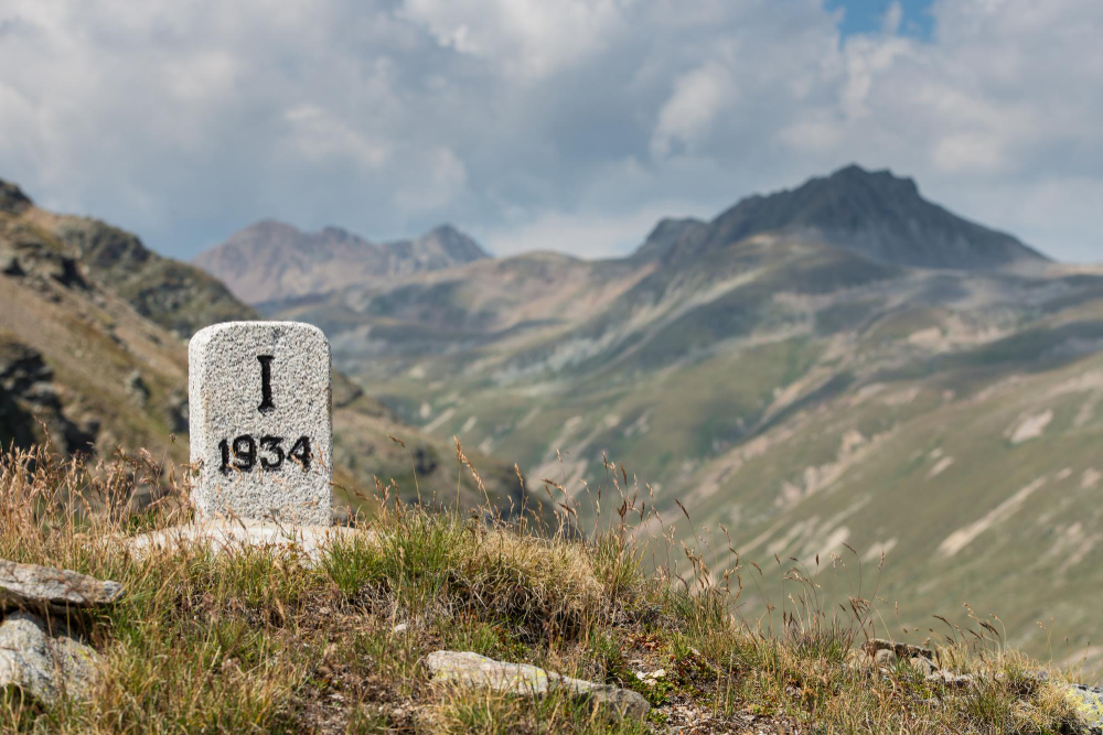
There is a small object that lines a great many old roads and is almost never looked at: a short stone or cast-iron post at the verge, carrying a name and a number.
It is easy to read as a quaint direction sign. It was more than that. For the people who put it there, it was a piece of commercial infrastructure — an official, public statement of distance, which was the basis for a surprising number of charges.
Distance determined what a traveller paid for a coach seat, what a sender paid to post a letter, and in many places what a road user paid to use the road. Disputes about those charges needed a reference both sides accepted, and the marker was that reference.
That is why they were placed with care, maintained, and in many cases required by the authority responsible for the road.
Distance as Money
The link between distance and payment explains why the markers mattered so much.
Coaching services charged by the distance travelled, and passengers joining or leaving partway needed a fair way of calculating their fare.
Postage was for a long period calculated by the distance a letter travelled, which meant the route distance between towns had a direct cost attached for anybody sending one.
Hired horses and vehicles were charged by distance as well, and inns along a route were spaced partly according to how far a horse could reasonably go before a change.
In each case, an agreed number was needed — one that could be pointed to and checked rather than argued about.
A marker at the roadside provided exactly that, which is why its accuracy mattered and why the numbers on it were not casual estimates.
Like our content? Follow us for more.
How the Distances Were Measured
Establishing the numbers accurately was a substantial task in its own right.
Distances were measured along the road itself rather than in a straight line, since what mattered to a traveller or a coach operator was how far the route actually ran.
Surveyors used measuring chains of a fixed length, laid end to end along the road and counted, or measuring wheels that recorded the number of revolutions over a route.
The wheel method was quicker and suited long routes, while chains were more accurate over shorter and more difficult stretches.
The starting point had to be agreed as well, since a distance to a town depended on which point in that town was taken as the reference — frequently a central landmark such as a market place, a cross or a principal building.
Where two authorities measured from different reference points, markers on the same road could disagree slightly, which is one reason old distances sometimes seem inconsistent.
Once measured, markers were placed at regular intervals, which meant a traveller could track progress and a coach operator could calculate fares with confidence.
Who Put Them There
Responsibility varied, and the pattern is visible in the markers themselves.
Where roads were managed by bodies that charged users for their upkeep, those bodies were frequently required to mark the distances, and markers along such routes tend to share a consistent style.
Where local authorities took over roads, they sometimes replaced or added markers in their own style, which is why a single route can carry markers of several designs.
The materials followed what was available and affordable — locally quarried stone in many places, cast iron where foundries could supply plates or complete posts cheaply.
The design often identifies both the body responsible and the period, which makes a surviving marker a small dated document.
There is a placement point worth adding. Markers were set on a particular side of the road by convention in many places, and a consistent side along a route helps confirm that a series belongs together.
A marker on the opposite side may belong to a different scheme or a later replacement.
Reading One
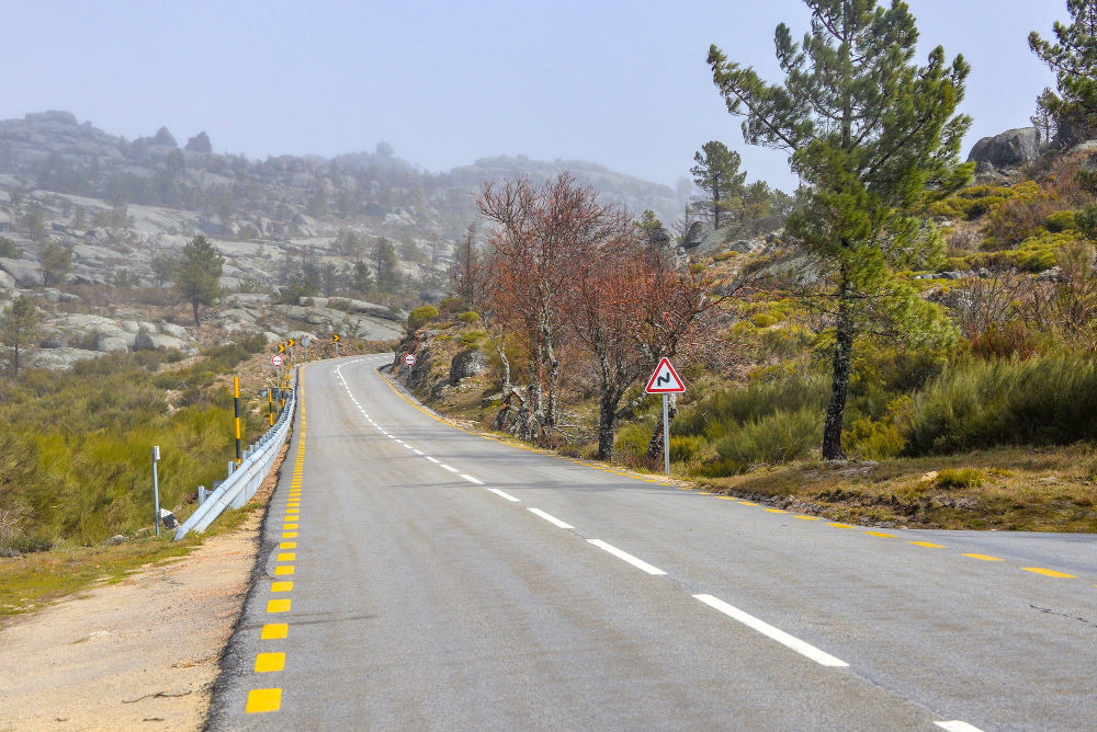
A marker carries more information than the number, and learning to read it is a real pleasure on an old road.
The destinations named indicate which places mattered as endpoints when it was placed — sometimes a town that has since declined, or one that has grown far beyond anything the marker anticipated.
The distances indicate the route of the road at the time, which may differ from the modern road if it has been straightened, bypassed or rerouted.
A marker standing somewhere apparently meaningless — in a field edge, on a lane, beside a track — frequently marks the line of an older road that has since moved.
Faces angled to be read from both directions show that traffic was expected both ways, and a face turned toward a particular approach shows where the important traffic came from.
And the lettering style, the shape of the stone and any maker’s mark all help to date it.
Why So Many Were Removed
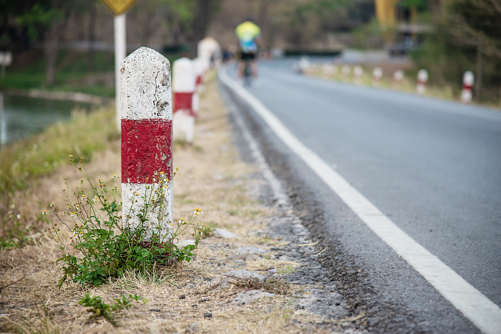
The survival of these markers has been uneven, and some of the gaps have a specific cause.
During periods of threatened invasion, road signs and markers in some places were deliberately removed, buried or defaced so that they would not help an enemy find their way.
Many were reinstated afterwards; others were lost, broken or never replaced.
Road widening removed a great many more, since a marker at the edge of a verge sits exactly where a widened road would go.
Others were buried by verge growth, knocked over by vehicles, or simply ignored until they were lost in vegetation.
That is why surviving markers are frequently found in odd positions, partly buried, leaning or displaced — and why efforts to record and restore them have been undertaken by enthusiasts in several places.
There is a distance-post point worth adding. Some routes also carried markers at fractions of the main unit, allowing finer reckoning.
The Units Themselves
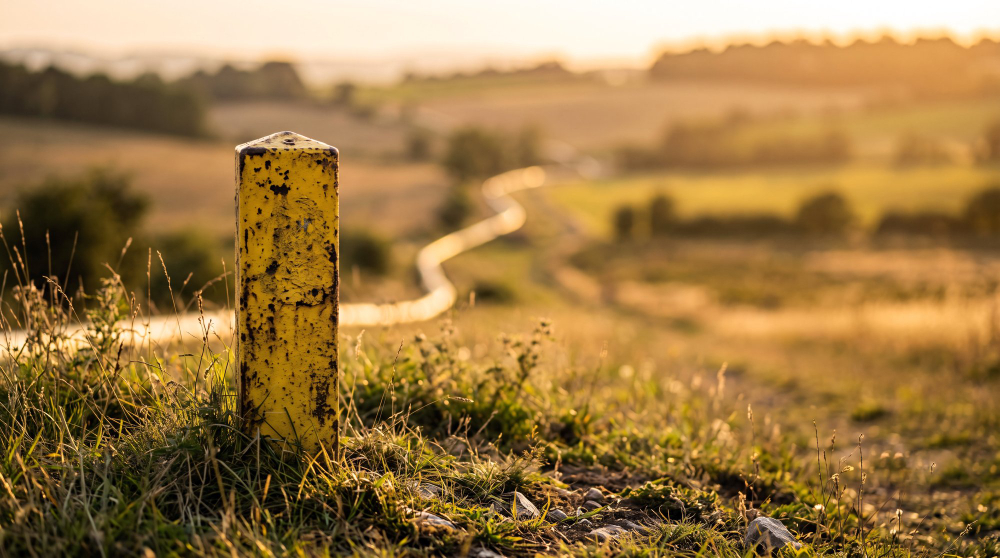
The distances on older markers do not always correspond to modern units, which is a detail worth knowing.
Units of distance were not always standardised, and some regions used local measures that differed from the national standard.
A marker set before standardisation, or in a place that used a local unit, can give a distance that appears wrong by modern measurement.
Even where the unit was standard, the measurement was made along the road as it then ran, which may be longer or shorter than the modern route.
So a discrepancy between an old marker and a modern map is not necessarily an error; it is frequently a record of a different road or a different unit.
There is a wear point worth adding. Many markers were painted to keep the lettering legible, and the paint has been renewed repeatedly over the years, so a well-kept marker may carry many layers.
Where the paint has gone, the carved letters are frequently still readable in raking light.
What Replaced Them
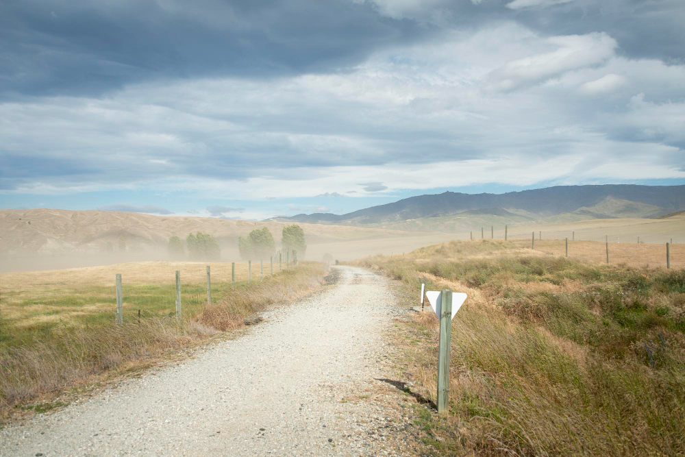
The function passed to other forms, and the marker became a relic.
Printed road maps, then standardised road signs at junctions, then electronic navigation took over the job of telling travellers where they were and how far they had to go.
Distance-based charging for travel and postage gave way to other systems, removing the commercial need for agreed public distances.
The markers stayed where they were because removing them had no purpose and cost money, and because many were later protected as historic features in their own right.
So they now stand as a network of small monuments to a system of travel and payment that disappeared long ago.
There is a design point worth adding. Many markers carry a small bench mark or other survey symbol cut into the stone, added later by mapmakers who used the fixed and permanent markers as reference points for their own measurements.
A single stone can therefore record two different surveys made generations apart.
Why They Are Worth Stopping For
The practical appeal is that they reward attention and require no expertise.
Each one is a fixed point that has stood in the same place for a very long time, recording what the road was, where it went and who was responsible for it.
Following a line of them along a road, or finding one in an unexpected place and working out what route it once marked, is a straightforward way into the history of a landscape.
And they are a reminder that information once had to be carved into stone and set into the ground to be trusted — because a number on a roadside post was the only version of the distance that everybody could agree on.
That is worth remembering now that distance is something a device reports instantly and nobody questions. For a long time it was contested, measured with chains and wheels, argued over by coach passengers and postal clerks, and finally settled by carving it into a stone and leaving it at the side of the road.
Like our content? Follow us for more.