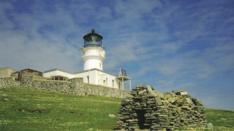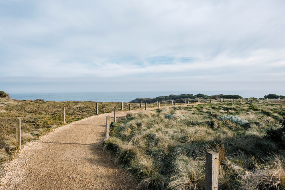
The useful question on any coastal path is why the route exists at all, because walking was rarely the reason. Somebody needed to get along this coast, and the path is what that requirement left behind. Here are seventeen.
1. Somebody Needed to Walk the Whole Coast
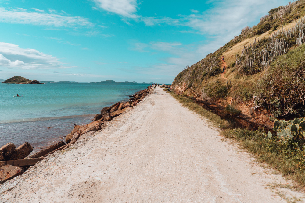
A continuous route along a shoreline is unusual and expensive to maintain, and it generally exists because an authority required somebody to patrol every stretch of it on foot.
Walkers inherited a working route. Patrol origin is why so many coastal paths are continuous rather than local.
Like our content? Follow us for more.
2. Which Is Why It Keeps the Sea in View
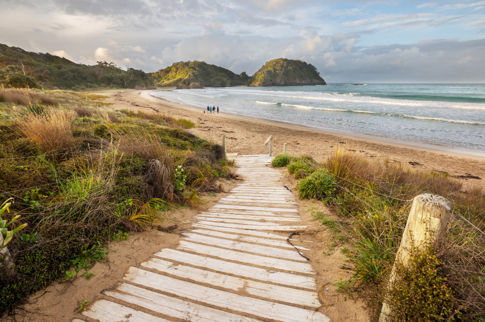
A patrol route had to observe the water, so the path stays where the coast is visible even when an easier line lay slightly inland.
The inconvenience is the whole point of the alignment. Sightline routing is the reason the path takes the harder line.
3. The Bits That Go Down to the Water
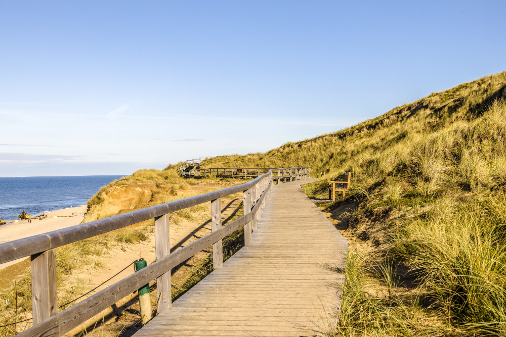
Steep descents to small coves generally lead to somewhere boats were kept or landed, and the path went there because people needed to.
A path to nowhere usually went somewhere that has gone. Descending spurs are the branches of a working network.
4. Headland, Bay, Headland, Bay
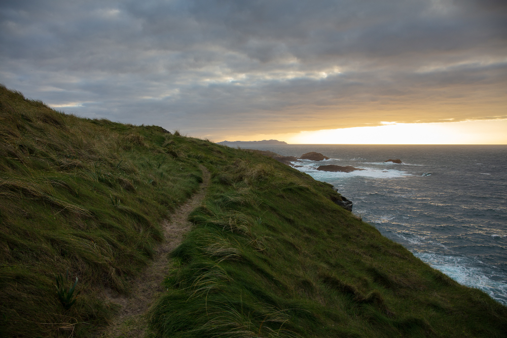
A coast alternates between resistant projections and eroded indentations, so the path repeats a cycle of climbing out to a point and dropping into a bay.
The rhythm is set by the geology. Alternating relief is the reason coastal walking is more tiring than the distance suggests.
5. The Distance Is Not the Distance
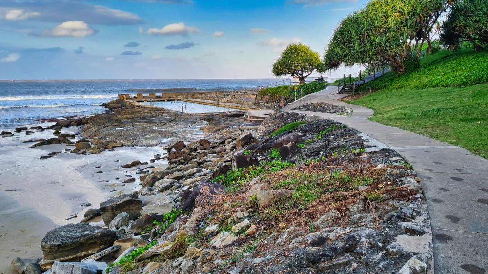
Every valley reaching the sea must be descended and climbed, so a coastal mile involves substantially more ascent than an inland one and takes correspondingly longer.
The cumulative climb over a day is considerable. Deceptive mileage is the standard misjudgement on any coastal route.
6. The Section That Was Moved Inland
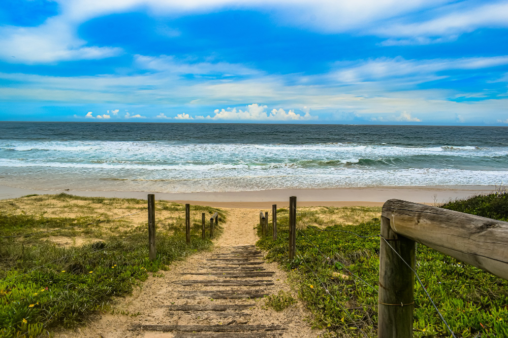
Where a cliff has retreated, the path has been rerouted away from the edge, sometimes repeatedly, and the older line is occasionally visible running into open air.
The route is temporary by nature. Retreating alignment is the evidence that the coast is actively going.
7. The Fence That Is Too Close to the Edge
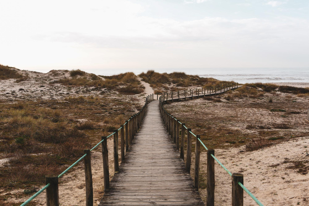
Field boundaries were set when the cliff was further out, so a fence line now running along the very edge indicates how much ground has been lost since it was built.
It is a measurement nobody intended to take. The stranded boundary is the clearest record of erosion available.
8. The Ground That Has Slipped
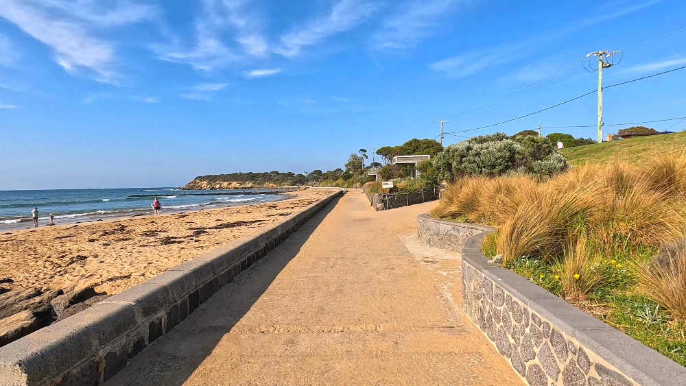
Landslip terrain – hummocky, wooded, wet, with the path winding through it – occurs where a whole section of coast has moved downward and come to rest.
It supports vegetation found nowhere else nearby. Slipped ground is the landscape created by failure rather than erosion.
9. The Wind at the Edge
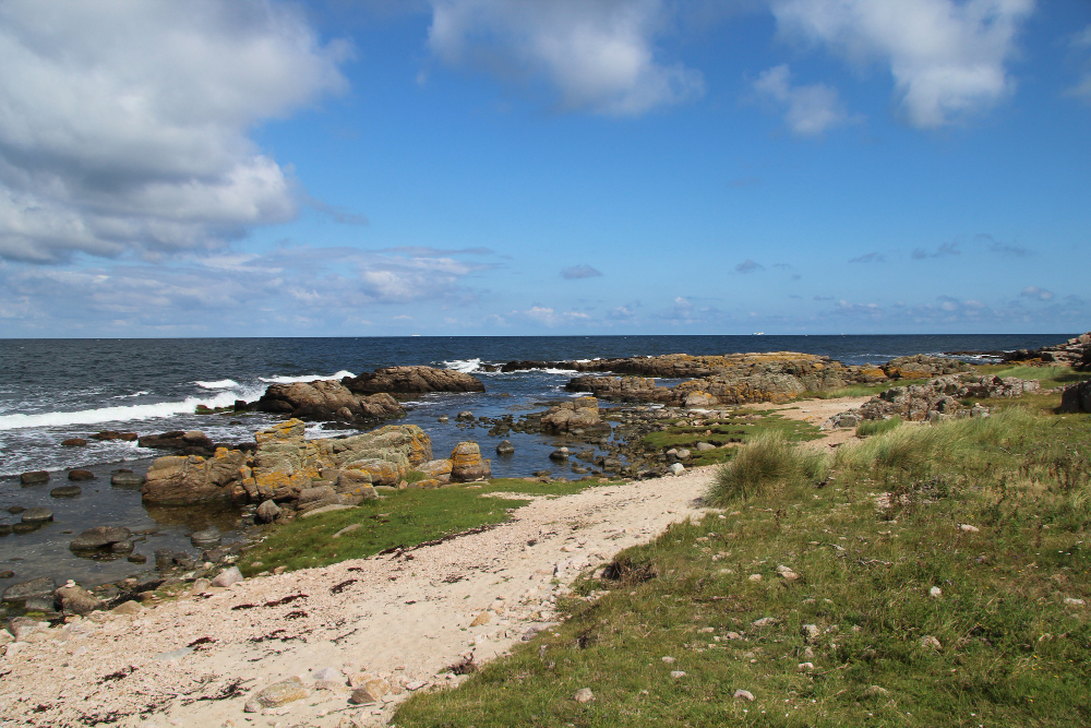
Air forced up a cliff face accelerates over the top, so wind at the edge is stronger than a few metres inland and stronger than any forecast for the area suggests.
The difference is substantial and abrupt. Edge acceleration is the hazard people meet without expecting it.
10. The Sudden Detour Inland
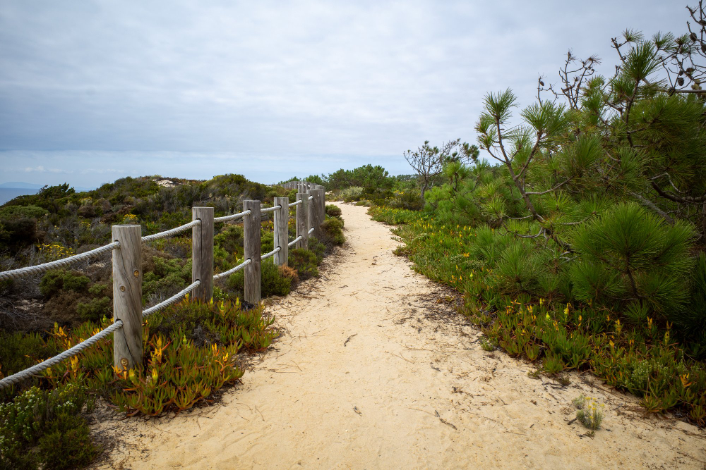
A route turning abruptly away from the coast generally indicates an obstacle – private ground, an installation, an industrial site or a hazard – rather than a scenic decision.
The reason is frequently invisible from the path. Inland diversion is where the route stops following the coast and follows permission.
11. The Long Way Round an Estuary
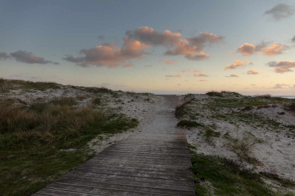
Where a river meets the sea, a coastal path must go inland to the first crossing and back, which can add a substantial distance to reach a point visible across the water.
Some detours run for many miles. Estuary detour is the geometry that frustrates every coastal walker.
12. The Bit That Uses the Beach
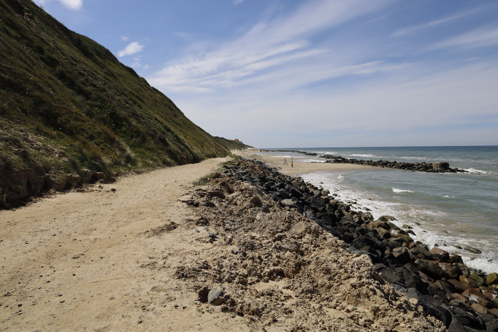
Some sections cross sand or rock below the high-water mark, which makes them tidal – available for part of the cycle and impassable for the rest.
The alternative is generally a long inland loop. Tidal sections are the parts of the route with a timetable.
13. The Stone Built Into the Ground
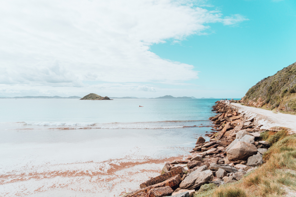
Steps, revetments, drainage channels and stone-pitched surfaces on steep sections represent an enormous amount of construction, generally invisible until you notice it.
Maintaining it is continuous work. Built surface is the infrastructure holding the route together.
14. The Vegetation Getting Shorter Toward the Sea
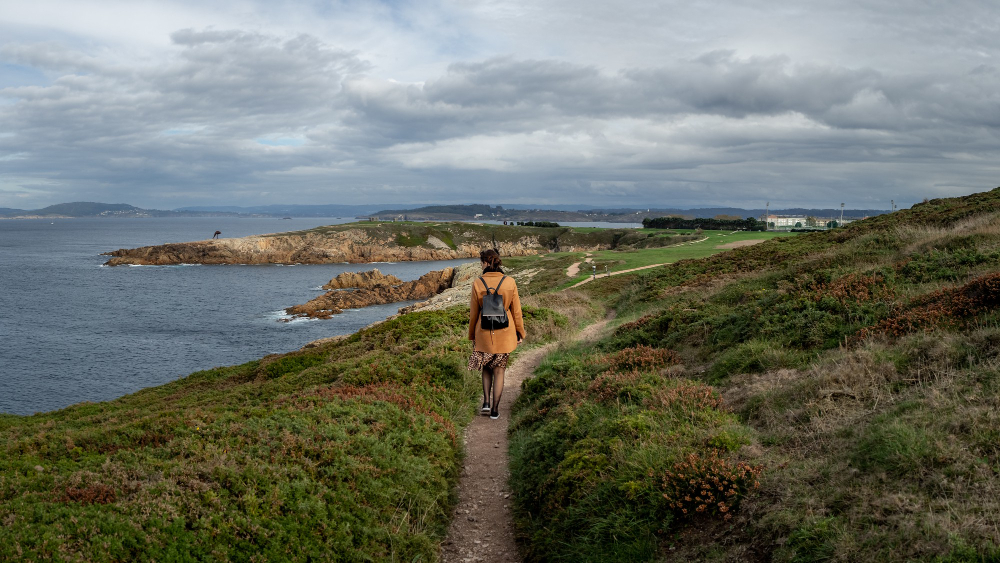
Salt spray and wind stunt growth progressively closer to the edge, producing a visible gradient from woodland through scrub to low turf within a short distance.
You can read the exposure in the plants. Salt gradient is the vegetation map of wind and spray.
15. The Flowers That Only Grow There
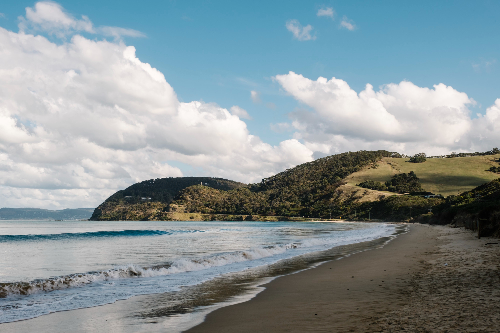
Cliff tops support species adapted to salt, thin soil and constant wind, which cannot compete elsewhere and are consequently confined to a narrow strip.
The strip is frequently only metres wide. Coastal specialists are the plants the exposure protects from competition.
16. The Only Way to See Some of It
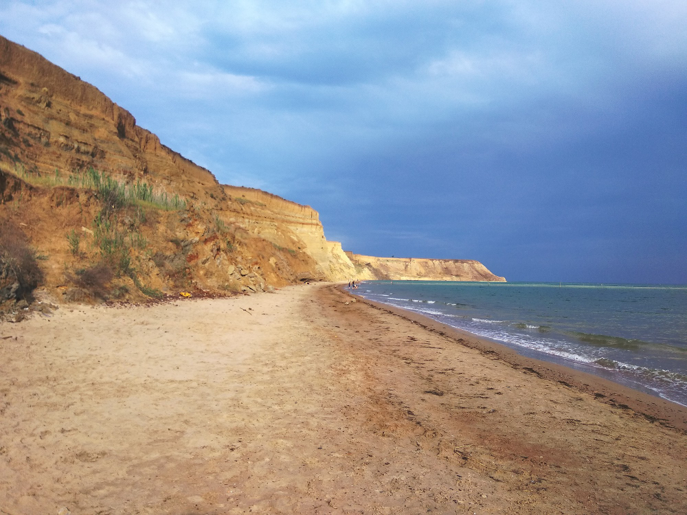
Along many coasts the path provides the sole public access to stretches otherwise unreachable by road, which is why the route exists as a right rather than as an amenity.
Losing a section closes the coast. Sole access is what makes these paths worth maintaining.
17. The Marker That Shows Where the Sea Was
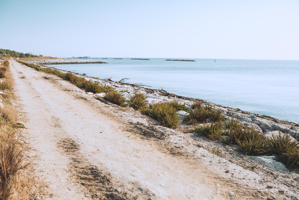
Old structures now perched at the edge, or half-fallen down the face, mark positions that were comfortably inland when they were built.
Nothing else dates the retreat so plainly. Stranded structures are the coast keeping its own record.
A Working Route the Sea Is Removing
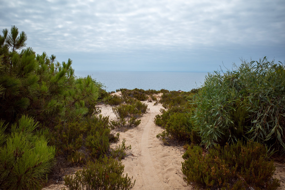
Patrol, fishing, access and rescue put the path there; erosion, landslip and estuaries determine where it now runs; and the wind, the salt and the tide decide what it is like to walk.
A serious caution: cliff edges are undercut and unstable, and the ground that looks solid is frequently overhanging nothing. Wind at the edge is markedly stronger than inland forecasts indicate. Tidal sections cut off faster than people expect. And where a path has been diverted or fenced, it is because that section has failed rather than for tidiness. Check local information and stay on the marked line.
Like our content? Follow us for more.