The number of continents is one of the first facts most people are taught about the world, and one of the least questioned. Seven: Africa, Antarctica, Asia, Australia, Europe, North America, South America. It appears on classroom walls and in atlases and has the settled feel of something long since worked out.
It is incomplete. In the southwest Pacific, east of Australia, there is a coherent slab of continental crust covering something like 4.9 million square kilometres, roughly two million square miles, comparable in size to the Indian subcontinent. It is elevated relative to the surrounding ocean floor, geologically distinct from it, has a clearly defined area, and has crust far thicker than the oceanic crust around it. By the criteria geologists apply, it qualifies as a continent, and since a 2017 paper made the formal case, a growing number of them call it exactly that.
Its name is Zealandia, or Te Riu-a-Māui in te reo Māori. You have almost certainly seen its highest points, because the parts that break the surface include New Zealand’s North and South Islands and New Caledonia. Here is the story of how an entire continent went unrecognized until the twenty-first century.
Hiding in Plain Sight
The reason Zealandia was overlooked comes down to an assumption so basic that it was rarely examined: that a continent is somewhere you can stand.
That instinct is understandable but geologically beside the point. To a geologist, what defines a continent is not whether it is dry but what it is made of and how it behaves. Continental crust is thicker, less dense, and chemically different from the basaltic crust that floors the oceans. It sits higher. It has its own structural history. Whether it happens to be above or below sea level at any given moment is a consequence of elevation and water volume, not a statement about what the rock fundamentally is.
Zealandia is continental crust in every respect that matters, and it is just deep enough to be invisible. Roughly 94 percent of it lies underwater, with some sources putting the figure closer to 95 percent. It is the world’s youngest, smallest, thinnest, and most submerged continent, which is a fairly comprehensive set of superlatives for something that spent most of scientific history uncatalogued.
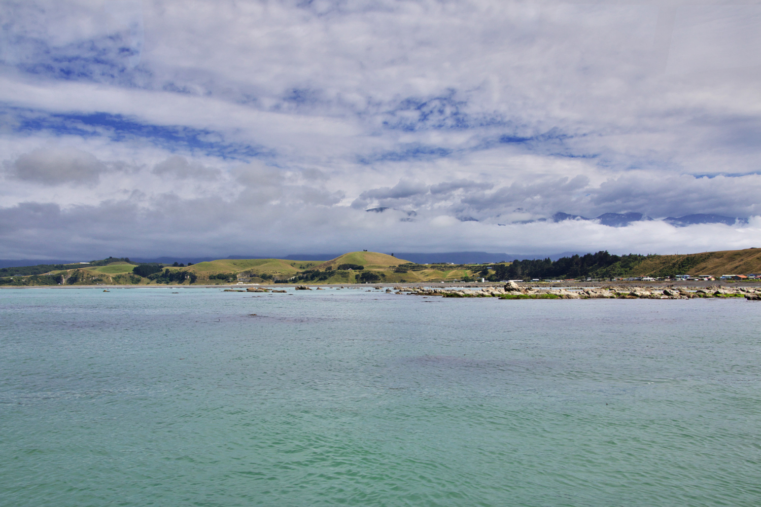
There is a good illustration of the scale of the oversight in everyday life. The ferry that runs between Wellington and Picton crosses the Cook Strait, which most passengers take to be a stretch of water between two New Zealand islands. It is, in geological terms, a shallow gap in a continent, with the cliffs on either side being exposed high points of a landmass nearly the size of the Indian subcontinent. Almost nobody on board is thinking about that.
Like our content? Follow us for more.
Gondwana, and the Long Descent
Zealandia’s history begins with Gondwana, the ancient southern supercontinent that also produced Africa, South America, Antarctica, Australia, and the Indian subcontinent.
Zealandia was part of Gondwana’s eastern margin, and it broke away as the supercontinent fragmented, an event current thinking places at roughly 80 million years ago. Australia and Antarctica separated and stayed largely above water. Zealandia did not. It stretched dramatically as it rifted, thinning its crust in the process, and thin crust sits lower. Over time, the great majority of it subsided beneath the Pacific, leaving only its highest ground exposed.
That stretching is central to why Zealandia is so submerged. Its crust is unusually thin for continental crust, which is precisely why it sank far enough to become invisible while its former neighbours remained continents in the conventional, walkable sense. Zealandia is not a continent that failed to form; it is a continent that went under.
Building the Case
The scientific case took a long time to assemble, and the delay is at least as interesting as the conclusion.
Geologists and geophysicists working in New Zealand, Australia, and internationally had recognized for decades that the crust beneath New Zealand and the surrounding plateaus differed fundamentally from ordinary oceanic crust in thickness, composition, and history. But those observations accumulated piecemeal, across individual papers addressing particular island groups or specific seafloor surveys, without anyone assembling them into a single continental claim.
The name arrived in 1995, proposed by Bruce Luyendyk, a geophysicist at the University of California Santa Barbara with strong ties to New Zealand’s scientific community. Notably, he was not arguing that the region was a full geological continent. He was making the narrower point that the rocks beneath the waves were built from the same ancient slab and needed one label rather than a scatter of separate names. The term caught on within a small circle of marine geologists and went essentially nowhere outside it.
There was also a practical motivation for further research. Under the United Nations Convention on the Law of the Sea, a country that can demonstrate a submerged region forms part of its continental shelf may claim extensive undersea economic rights, which gave New Zealand a concrete reason to fund detailed geological survey work.
The decisive moment came in 2017, when a team led by New Zealand geologist Nick Mortimer, working with colleagues at GNS Science and other institutions, published a paper in GSA Today, the journal of the Geological Society of America, setting out the full case. Their argument was that Zealandia satisfies every standard criterion for a continent: elevation above the surrounding area, distinctive geology, well-defined limits, and crust substantially thicker than the ocean floor. Assembled comprehensively rather than considered piecemeal, they argued, the evidence left little room for reasonable dispute. The paper’s authors noted that Zealandia has only three major landmasses above water: New Zealand’s two main islands and New Caledonia.
The First Continent Fully Mapped
Recognizing a continent and actually seeing all of it are different problems. Much of Zealandia, particularly its northern reaches, remained poorly sampled after 2017.
Closing that gap took years of dredging: hauling rock samples up from the seabed across an enormous area, from the Fairway Ridge to the Coral Sea, then dating those rocks and interpreting magnetic anomalies to work out the geological units below. In 2023, Mortimer and colleagues published the results in the journal Tectonics, completing the offshore reconnaissance geological mapping of the entire continent.
That produced a truly unusual distinction. Zealandia became the first continent on Earth to be mapped in full. Every other continent has regions that are geologically surveyed in patches, at varying resolution, with gaps. Zealandia, precisely because it required a deliberate campaign to see at all, got done comprehensively in one coordinated effort.
The new map also produced a surprise: evidence of a vast belt of ancient volcanism along the old Gondwana margin, with magma erupting roughly between 100 and 60 million years ago and lava fields spreading across something on the order of 250,000 square kilometres.
Why It Still Isn’t in the Textbooks
Zealandia’s status is worth stating precisely, because it is easy to overstate in either direction.
Among the geologists who work on continental crust, the case is broadly accepted and Zealandia is treated as a continent. But there is no international body that certifies continents, no formal vote, and no mechanism by which a definition gets updated worldwide. The seven-continent model is a convention of geography teaching rather than a geological finding, and conventions of that kind change slowly, if at all. Continents in the public imagination are the seven you learn in primary school, and adding an eighth requires overturning something people learned before they could read a map.
There is also a great deal still unknown. Despite formal recognition and more than a decade of intensive research, many details of Zealandia’s geology, its subsidence history, and its biological past remain open. It is poorly studied compared to any dry continent, for the obvious reason that everything must be done by ship.
What Zealandia Actually Changes
It would be easy to file this as a curiosity, a technicality about definitions that alters nothing practical.
That undersells it. The recognition of Zealandia is a demonstration that our map of the planet’s own crust was substantially incomplete well into the twenty-first century, despite centuries of accumulated geological and oceanographic work. Not incomplete in some remote detail, but missing a feature the size of the Indian subcontinent. The reason was not lack of data so much as a conceptual blind spot: the assumption that continents are things you walk on.
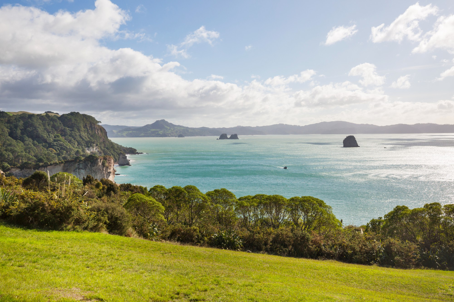
It also reframes a country. New Zealand is conventionally described as a group of islands in the South Pacific, part of the catch-all category of Oceania. On the geological reading, it is not a group of islands at all. It is the exposed summit of a continent, most of which is a few hundred metres underwater.
The next time you look at a world map and count seven, it is worth remembering that there is an eighth down there, mapped in full, nearly the size of India, and that its highest peaks are the country most people think of as somewhere small.
Like our content? Follow us for more.