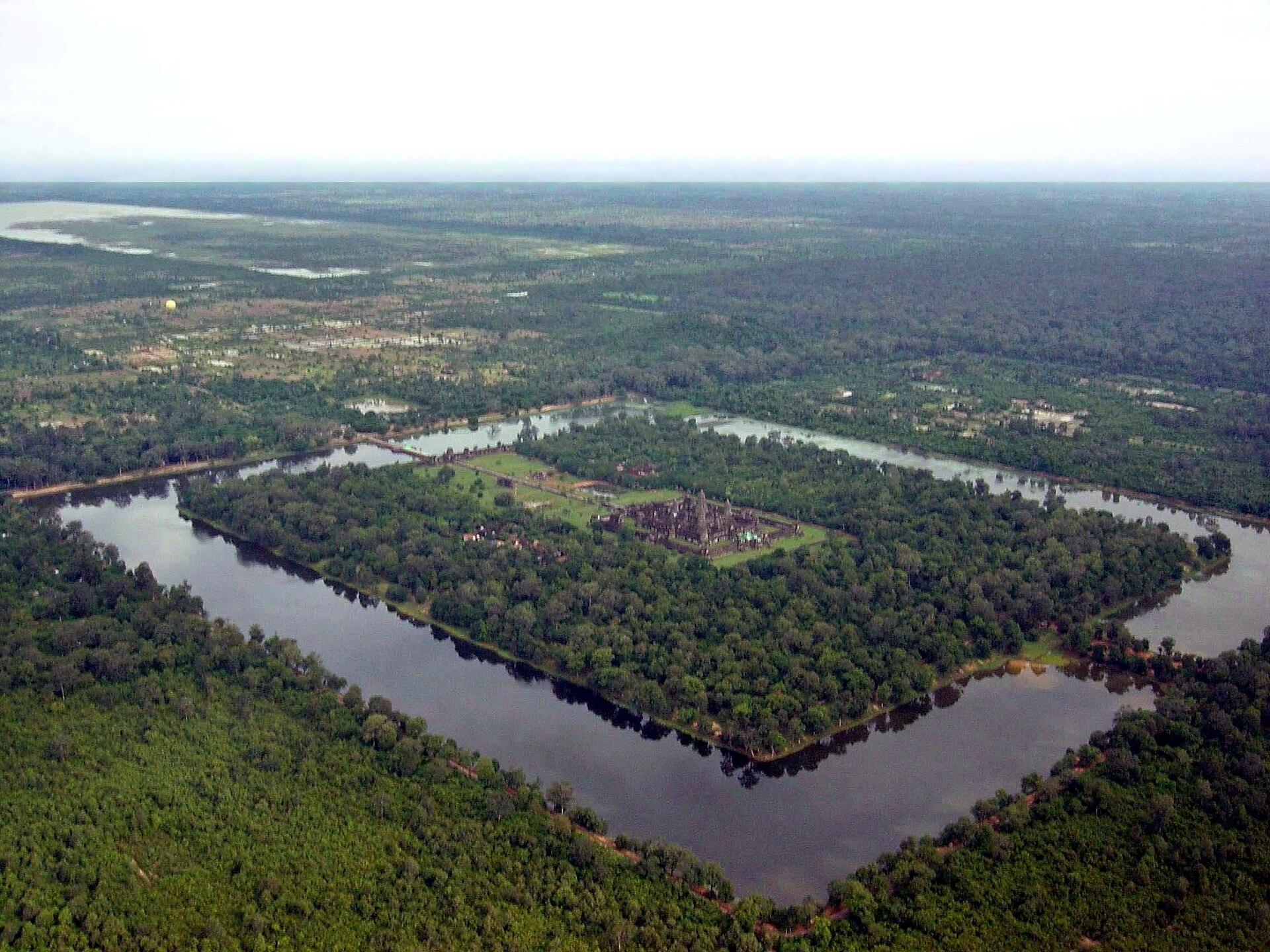
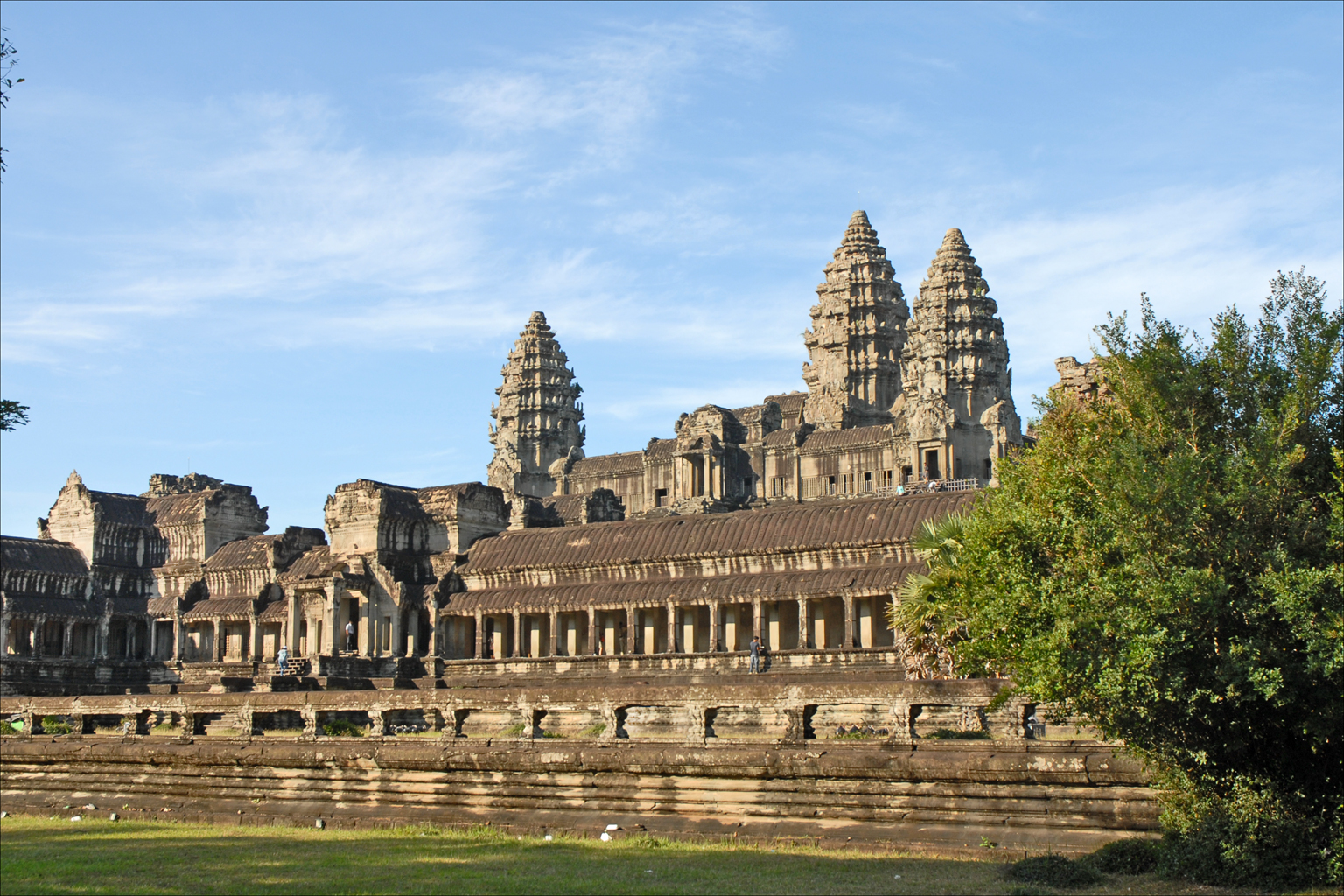
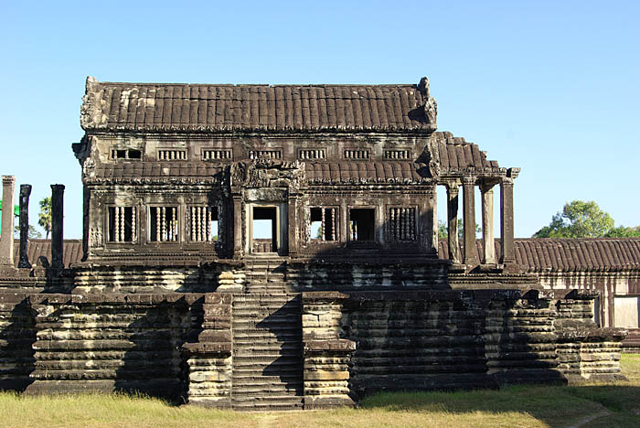
Angkor Wat sits in Siem Reap Province in northwestern Cambodia, and by most measures it is the largest religious monument ever constructed. Its outer enclosure runs 1,500 by 1,300 meters, and the galleries, towers, and moat cover more than 160 hectares. It is Cambodia’s national symbol and one of the most visited archaeological sites in the world.
For a long time it was also fundamentally misunderstood, not in its details but in its context. The standard picture was of grand stone temples set in forest, built by the Khmer Empire between the ninth and fifteenth centuries, with settlement clustered modestly around them. Archaeologists had suspected for years that there was more, since surface surveys hinted at a wide, low-density periphery, but the jungle made it nearly impossible to establish.
The problem was practical. Tropical forest canopy defeats aerial photography and satellite imagery, and archaeological features in that terrain are found by walking, which across hundreds of square kilometers of dense growth is a lifetime’s work.
Then a technology developed for other purposes solved it in a few hours of flying. Here is what lidar found under the trees.
Seeing Through a Canopy
Lidar works by firing rapid laser pulses at the ground from an aircraft and timing how long each takes to return. Over open terrain the pulses hit the earth and bounce back, giving a precise elevation. Over forest, many pulses strike leaves and branches, but a proportion find gaps in the canopy and reach the ground beneath.
The trick is in the processing. Software separates the returns that came from vegetation from those that came from the ground, and discards the canopy. What remains is a bare-earth elevation model: the shape of the ground itself, with the forest computationally stripped away.
For archaeology this is transformative, because human landscape modification leaves topographic signatures that persist for centuries. Mounds, ponds, canals, embankments, roads, and field boundaries all survive as subtle differences in ground elevation long after any structure has rotted or been overgrown. Lidar renders them visible.
In April 2012 a consortium organized by archaeologist Damian Evans used a helicopter to image 370 square kilometers of terrain covering Angkor and two nearby temple complexes, Phnom Kulen and Koh Ker. Flight time was roughly twenty hours. The results were published in the Proceedings of the National Academy of Sciences in 2013.
Like our content? Follow us for more.
What Appeared

The data revealed that the forest around the major temples had been concealing the traces of a succession of formally planned urban spaces.
Angkor was not a set of temples with a scattering of villages. It was a dispersed, low-density urban complex extending across roughly a thousand square kilometers, with the great temples embedded in it as nodes. The survey identified a rectilinear road network connecting the temples and settlements, with raised roadbeds carrying routes across seasonal flood zones on embankments, and side roads branching into residential areas. It found regular city blocks laid out on a grid, within which mounds and ponds formed the standard pattern of Khmer domestic settlement.
As the researchers wrote, they had identified an entire, previously undocumented, formally planned urban landscape into which major temples such as Angkor Wat were integrated.
A second survey in 2015 covered 1,901 square kilometers, and confirmed that the features continued well beyond the boundaries of the first. Additional previously unknown cities were identified near other temple sites. A 2017 survey found landscape modification extending to the survey limits again — meaning that in some directions nobody has yet found the edge.
Estimates of the population at its peak run to figures in the region of a million people, which would make Angkor the largest preindustrial urban center known. Those numbers are inferences from settlement density rather than direct counts, and should be treated as estimates.
The Lost Capital on the Mountain
The single most dramatic find came from Phnom Kulen, a forested plateau north of Angkor.
Khmer inscriptions referred to a ninth-century city called Mahendraparvata, conventionally treated as the beginning of the classical Angkorian period, but its structure was very poorly defined and its extent essentially unknown. The 2012 survey brought it into sharp relief: a substantial urban network with elevated embankments on north-south and east-west axes, squared city grids, pyramid temples, a royal palace, ponds, mounds, and a scale later assessed at roughly 15 to 19 square miles.
One of the researchers described it simply as having found the great early capital of the Khmer empire. Ground teams subsequently confirmed the mounds, walls, roads, and canals that the 3D map had picked out.
Mahendraparvata also carried a clue about its own fate. The city included an ambitious water-management scheme with a dam and an artificial reservoir — but the reservoir was never finished. Without it, the system could not support the irrigated rice agriculture the empire depended on, which suggests the city did not function as a power center for long. The researchers noted that although non-functional, that reservoir predated and may have inspired the vast artificial lakes that became a defining feature of Angkor itself.
Water, and the Question of Collapse
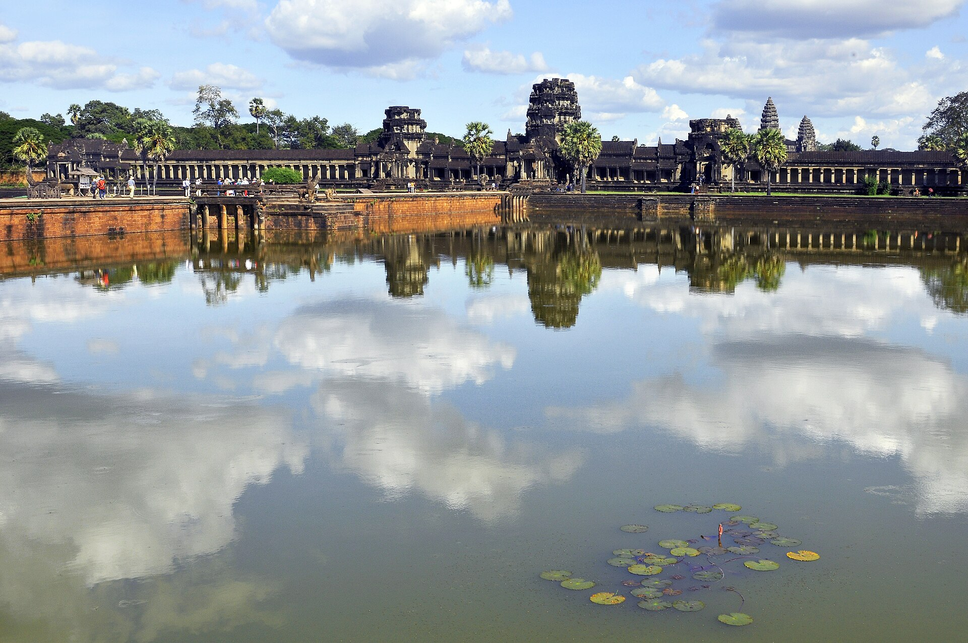
Angkor’s defining engineering achievement was hydraulic. The empire built an intricate network of canals, channels, and enormous reservoirs to capture monsoon water and distribute it for rice cultivation, which is what allowed a population of that size to exist in that place.
The lidar work fed directly into a long-running debate about why Angkor declined. It provided evidence of the full extent of the water system, along with data on Angkor-era deforestation and on the sustainability of the infrastructure. Sediment records from within the urban network show roughly four centuries of intensive land use, with distinct periods of severe erosion from the mid-ninth to the late eleventh century, and a marked shift in water-management practice from the twelfth century.
The hypothesis these findings support is that the very complexity of the waterworks became a vulnerability. A system of that scale requires continuous maintenance and is sensitive to disruption, and evidence indicates it began to break down under climatic stress, including severe swings between drought and intense monsoon.
This reframes a familiar historical set piece. The sacking of Angkor by Thai forces in 1431 is often presented as the end of the city. On the lidar-informed reading, the invasion looks more like a consequence than a cause: a weakened, already-depopulating city fell to an attack that a thriving Angkor would likely have withstood. The jungle did not swallow a flourishing civilization. It reclaimed a landscape people were already leaving, once the infrastructure that made it habitable stopped working.
It is worth flagging that this remains a hypothesis with active debate around it, and that decline on this scale rarely has a single cause.
What the Survey Could Not Settle
It is worth being clear about the limits of the technique, because lidar’s results are so visually persuasive that they can look more conclusive than they are.
Lidar maps topography. It shows where the ground has been shaped, and it does so with extraordinary clarity. What it cannot do is date anything. A mound is a mound whether it was raised in the ninth century or the fifteenth, and a road network revealed in a single image may have been built and used across many centuries rather than all at once.
That matters for population estimates in particular. Counting mounds and ponds tells you how much settlement infrastructure exists across a landscape; converting that into a number of people living there simultaneously requires assumptions about occupancy, contemporaneity, and household size, all of which carry uncertainty.
This is why lidar surveys are followed by ground campaigns. Teams walk the features, excavate selectively, take sediment cores, and date what they find, which is how the erosion and land-use records that inform the collapse debate were produced. The laser identifies where to look; it does not replace looking.
The honest summary is that lidar established the extent and layout of Angkor beyond dispute, and that questions of chronology, population, and cause of decline remain the work of conventional archaeology, now proceeding with a far better map.
What Else Is Under the Trees
The Angkor surveys changed expectations across the discipline. Lidar has since become routine in the search for sites obscured by forest, producing results in Central America, including Maya centers in Belize and Honduras, and in other tropical regions.
The lesson generalizes uncomfortably. Our map of the human past is skewed toward places where remains are easy to see: deserts, open ground, regions that have been intensively excavated. Tropical forest covers a vast area and has been dramatically underrepresented, not because less happened there but because the evidence is harder to detect.
Angkor was never lost. Local people knew it, and it has drawn visitors for a very long time. What was lost was the scale of it — the recognition that the temples everyone photographed were the surviving stone components of a city built mostly in wood and earth, which the forest absorbed.
Anyone who has stood in front of Angkor Wat has been looking at the ceremonial center of something enormous, most of which is still out there under the canopy, showing up as faint differences in ground elevation whenever someone flies a laser over it.
Like our content? Follow us for more.