

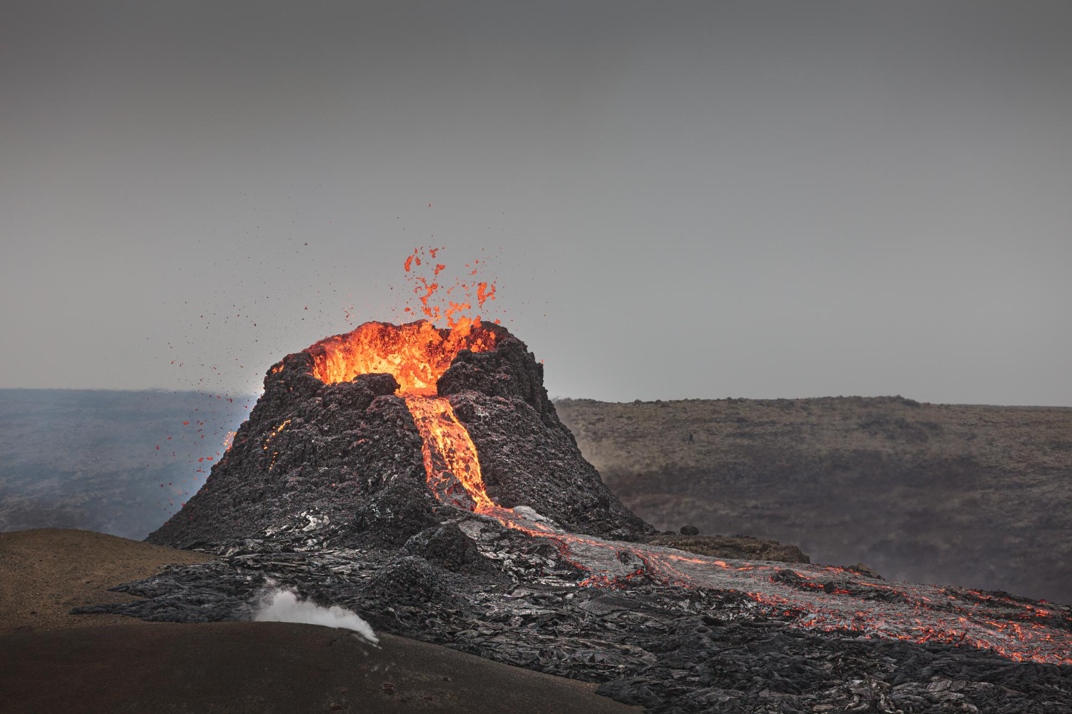
The single variable that explains most of what you see is how thick the lava was. Runny lava spreads out and builds gentle slopes; thick lava traps gas, moves barely at all and builds steep ones. Here are seventeen consequences.
1. The Wide Gentle Shield
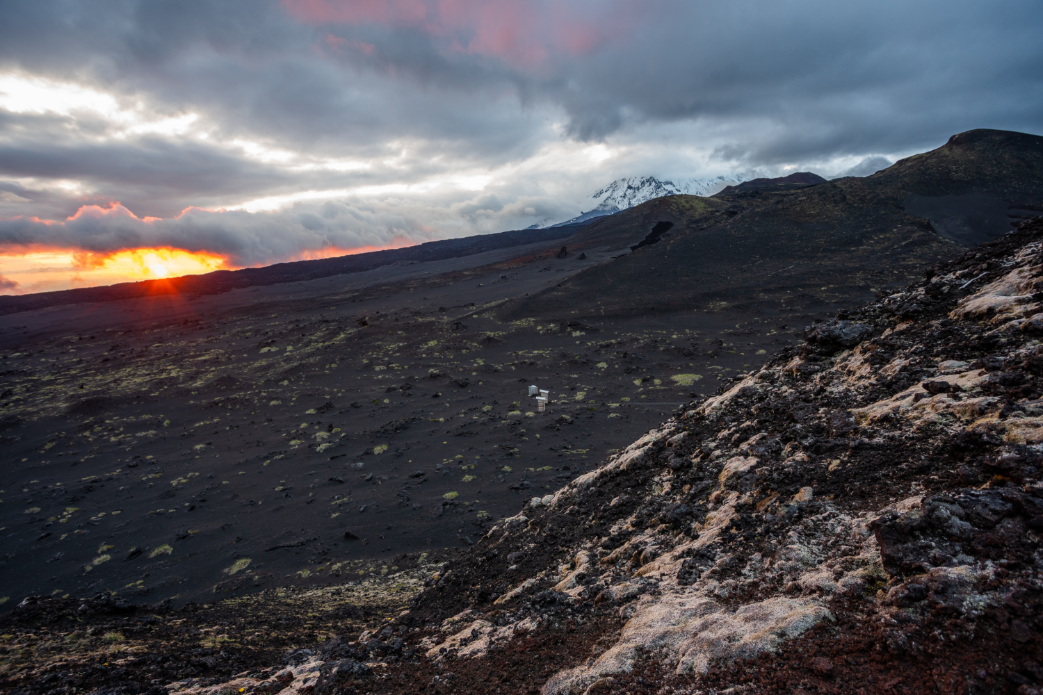
Very fluid lava travels a long way before solidifying, so repeated flows build an enormous mountain with slopes so gradual that the shape is only obvious from a distance.
Standing on one, it does not feel like a volcano. The shield form is what runny lava builds over time.
Like our content? Follow us for more.
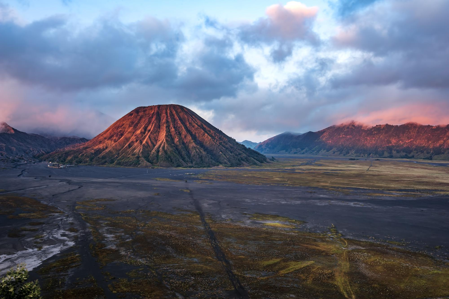
2. The Steep Classic Cone
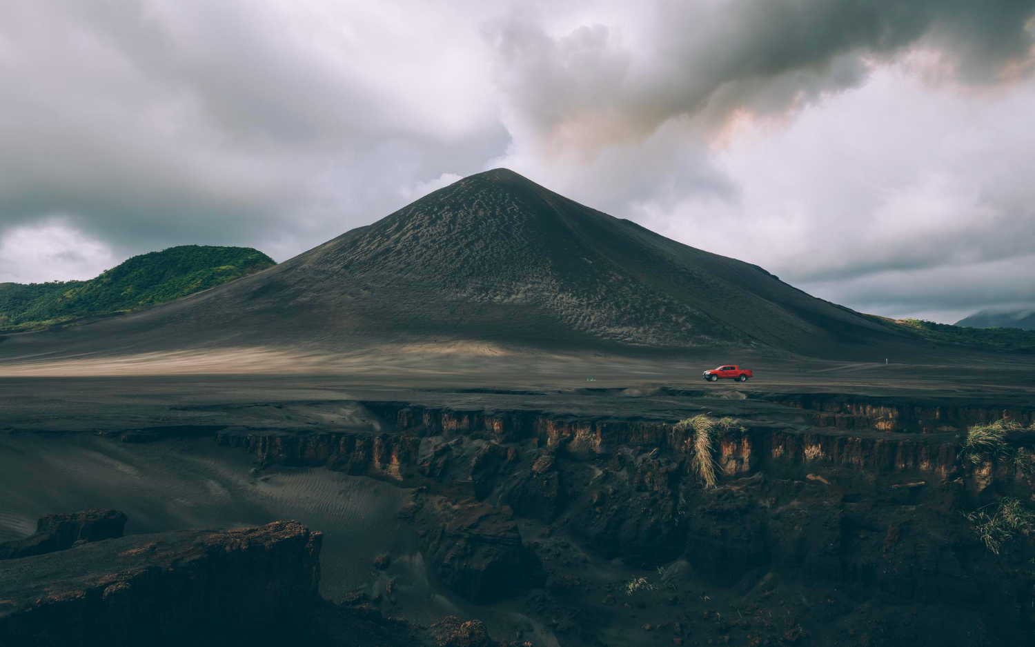
Thicker lava and fragmented material pile up close to the vent rather than flowing away, producing the steep symmetrical profile that everybody pictures.
The shape is a direct consequence of material not travelling. The steep cone is the form built by lava that could not run.
3. The Smooth Ropy Surface
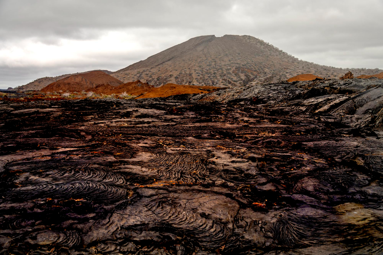
Fluid lava skins over while still moving beneath, and the surface wrinkles into rope-like folds that record the direction the flow was travelling.
It is walkable and looks like frozen liquid. The ropy surface is the texture of lava that stayed hot and fluid.
4. The Rough Broken Surface
The same flow, cooler or moving differently, breaks into a jumble of sharp fragments that is extremely difficult to cross and destroys footwear.
Both textures can occur in one flow. The blocky surface is what the same lava does when it stiffens.
5. The Columns
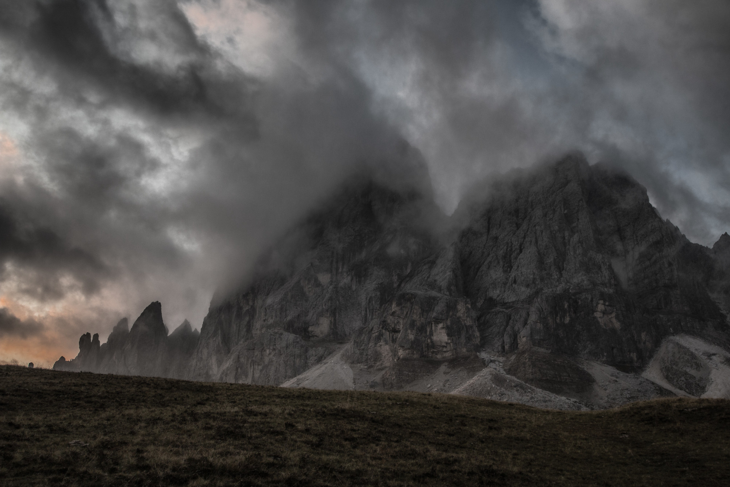
A thick flow cooling slowly contracts, and the contraction cracks it into polygonal columns running perpendicular to the cooling surface – typically hexagonal because that is how contraction distributes stress.
It looks constructed and is entirely a cooling artefact. Columnar jointing is geometry produced by shrinkage.
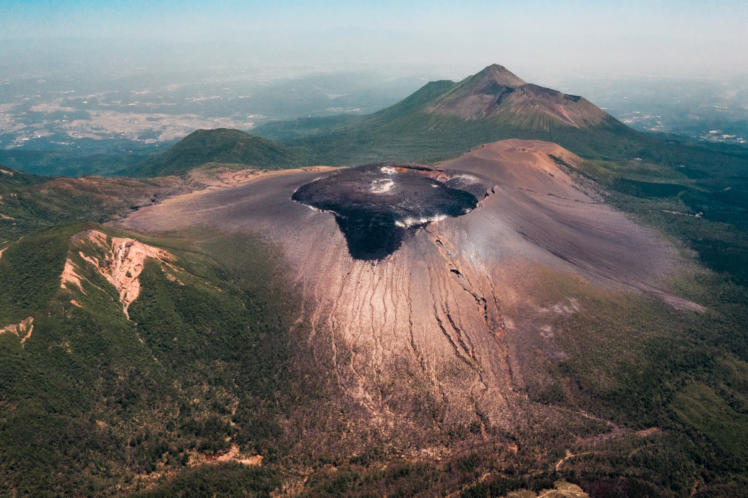
6. The Enormous Depression
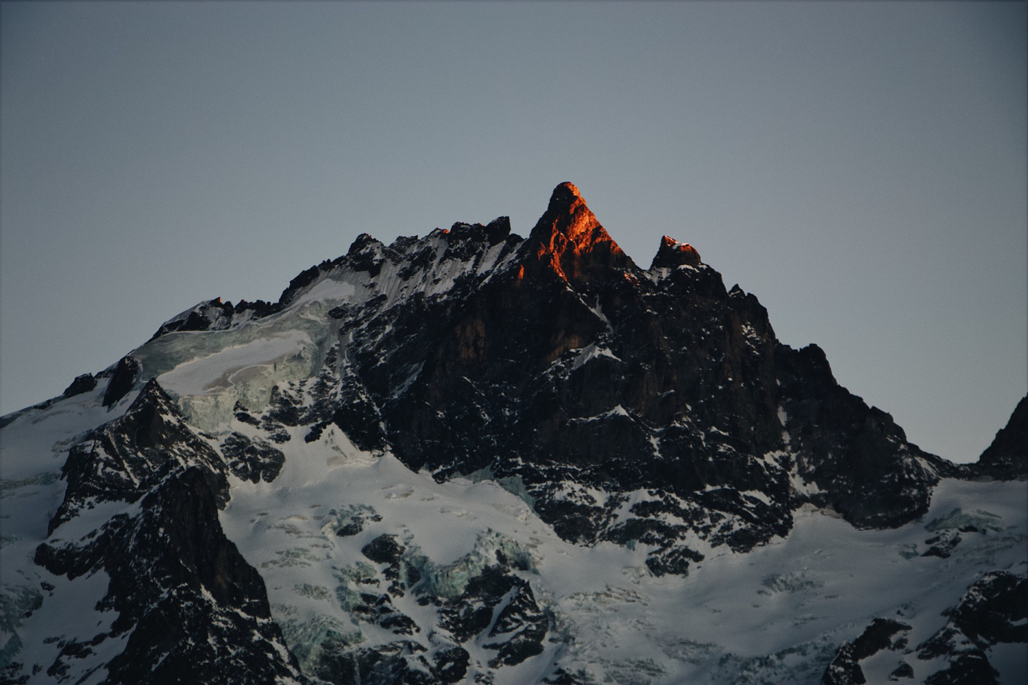
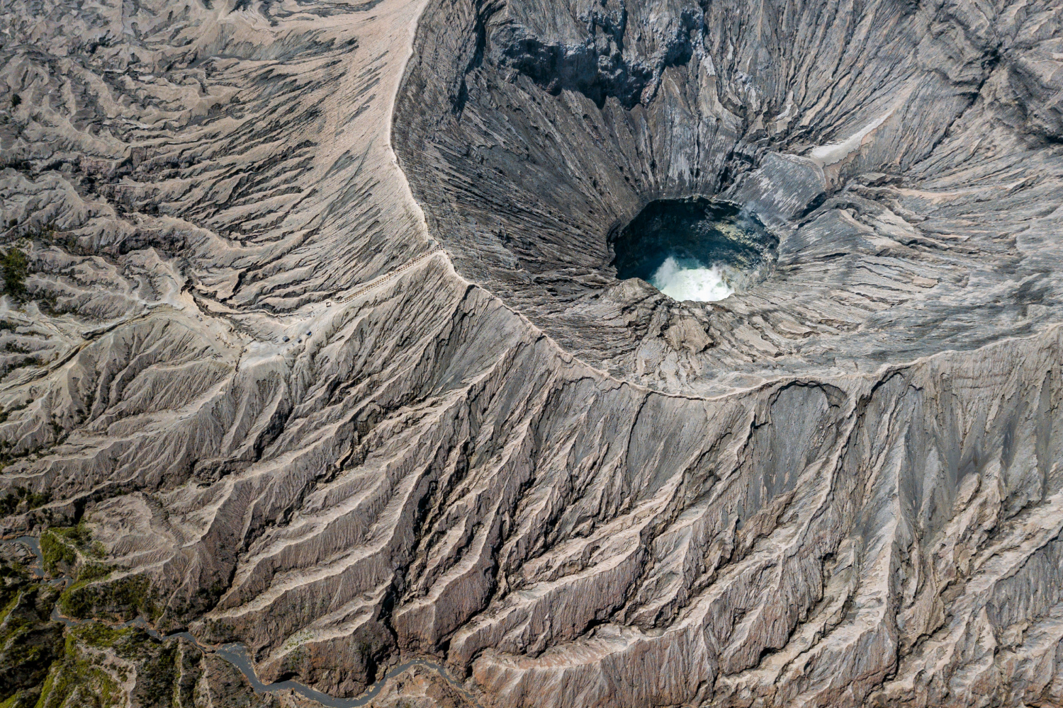
When a magma chamber empties, the roof above it can collapse, producing a basin many kilometres across that is far larger than any vent could excavate.
It is subsidence rather than excavation. The caldera is the form created by removal from below.
7. The Lake in the Hollow
Calderas fill with water, producing lakes that are unusually deep, unusually circular and frequently far larger than the surrounding topography would suggest.
The shape gives the origin away. The crater lake is the form where water has occupied a collapse.
8. The Tower of Solid Rock
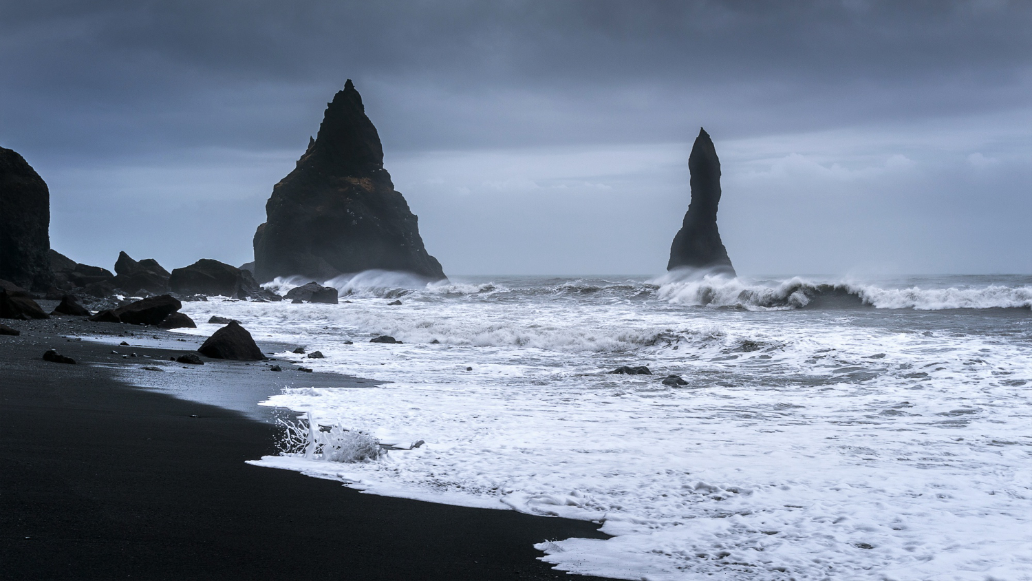
The conduit feeding a volcano solidifies, and when the softer cone erodes away, that plug remains standing as an isolated steep-sided tower.
A great many were later fortified for exactly that reason. The volcanic plug is the inside of a volcano left standing.
9. The Tunnel Under the Flow
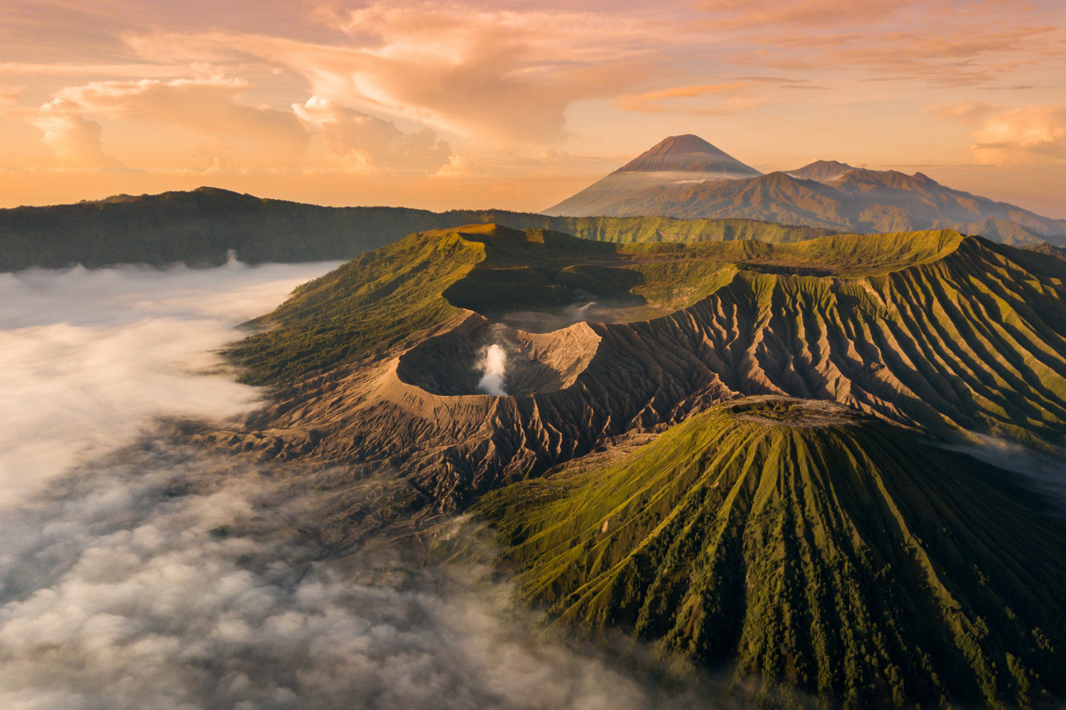
A flowing lava stream can crust over while molten rock continues beneath, and when the supply stops the interior drains, leaving a tunnel.
Some run for kilometres. The lava tube is the void left by lava that flowed away from under its own roof.
10. The Rounded Lumps
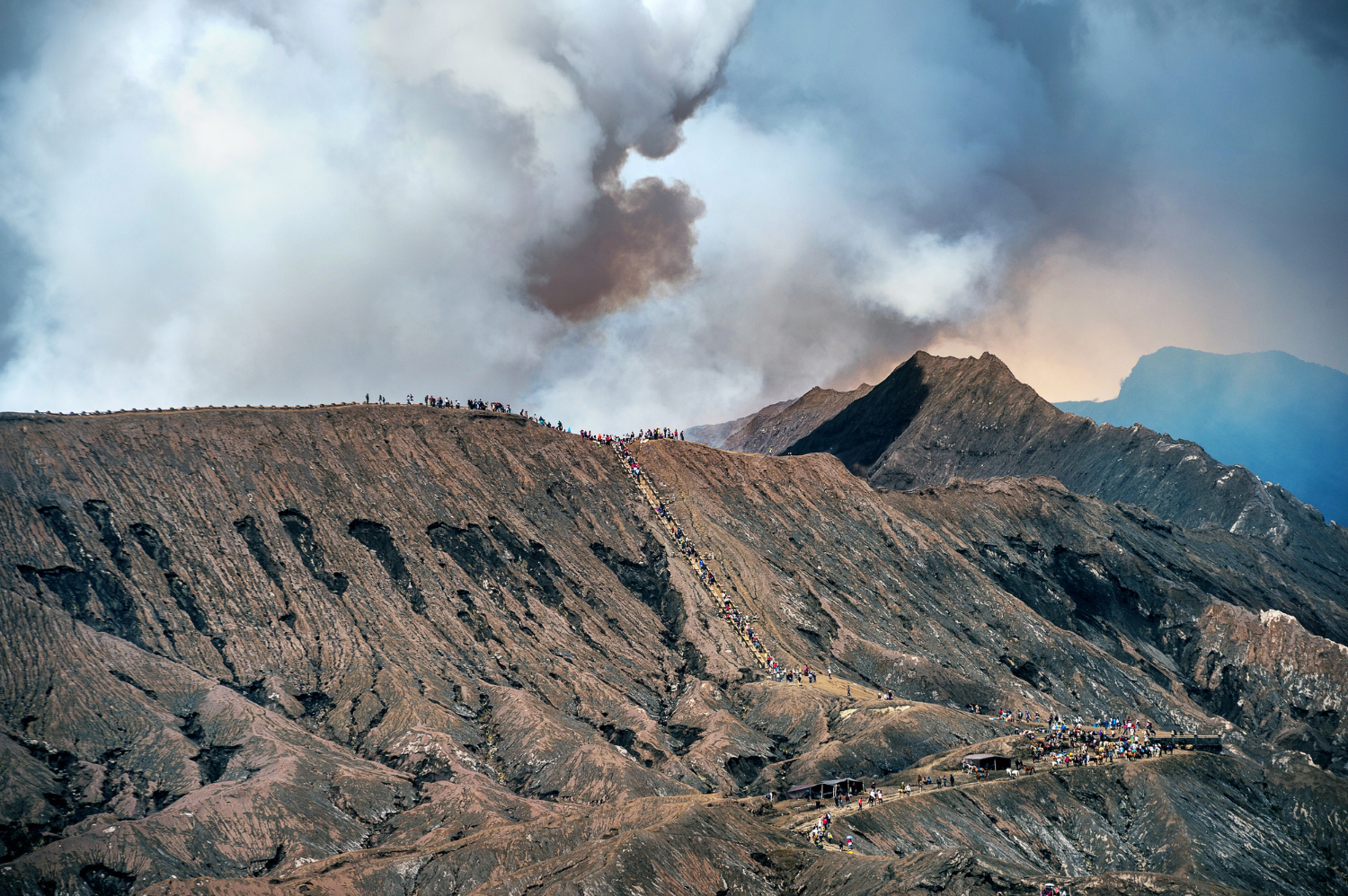
Lava erupting underwater chills instantly on the outside while continuing to extrude, producing stacked rounded forms that are diagnostic of eruption beneath water.
Finding them on dry land tells you the sea was once there. Pillow forms are the record of an underwater eruption.
11. The Soft Rock Somebody Carved
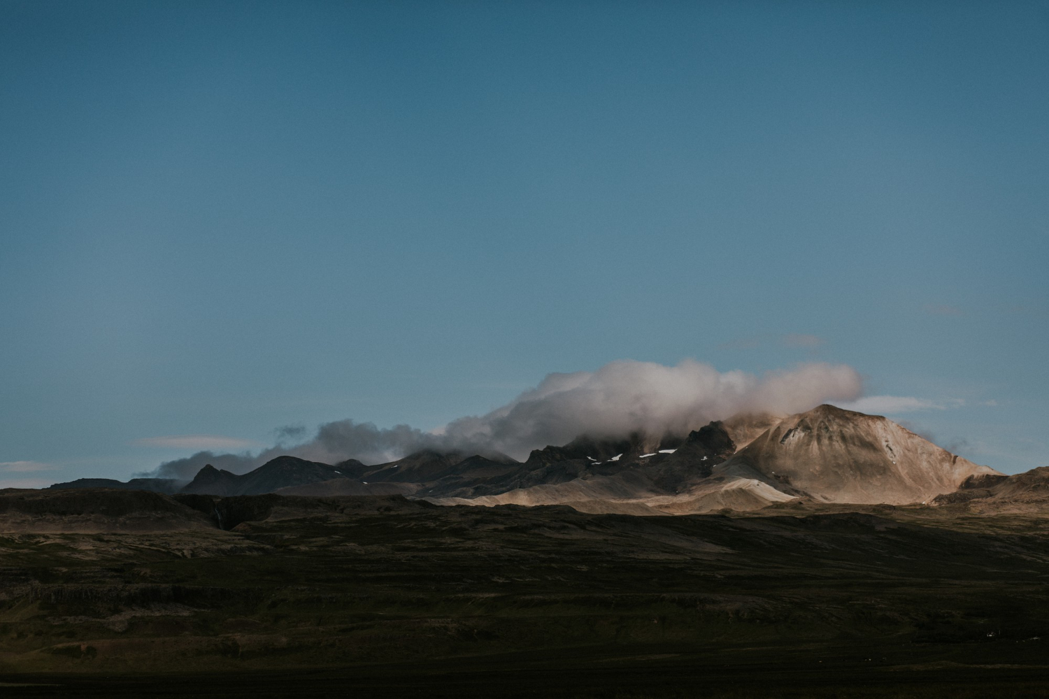
Ash deposits compact into a rock that is light, soft and easily worked with hand tools, which is why entire settlements were cut into it in several regions.
It hardens on exposure to air. Consolidated ash is the volcanic product that became architecture.
12. The Sharp Black Glass
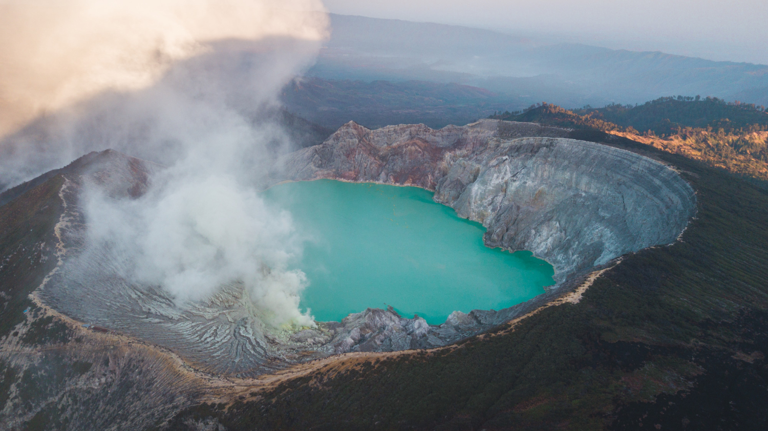
Lava cooling too fast for crystals to form produces a natural glass with an extremely sharp fracture edge, which was traded over enormous distances in prehistory.
Its value was entirely about the edge. Volcanic glass is the rock that became a commodity.
13. The Rock That Floats
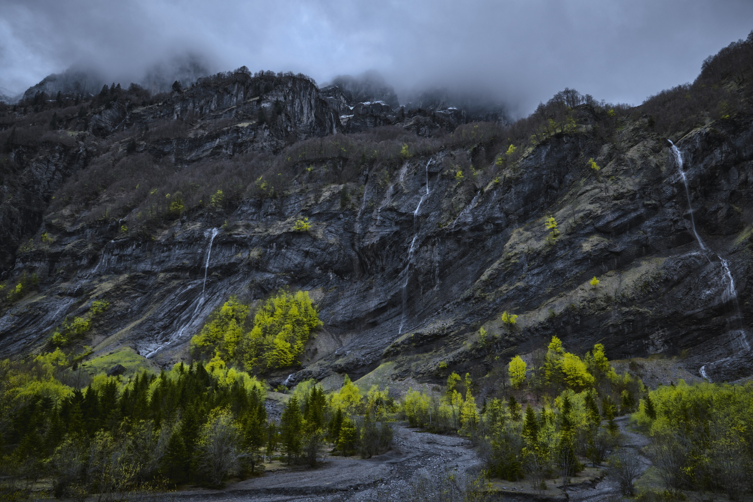
Lava full of gas bubbles solidifies into a foam so full of voids that it is less dense than water and floats until it becomes waterlogged.
Rafts of it can drift across an ocean. Frothy rock is the volcanic product with the wrong density.
14. The Field of Small Cones
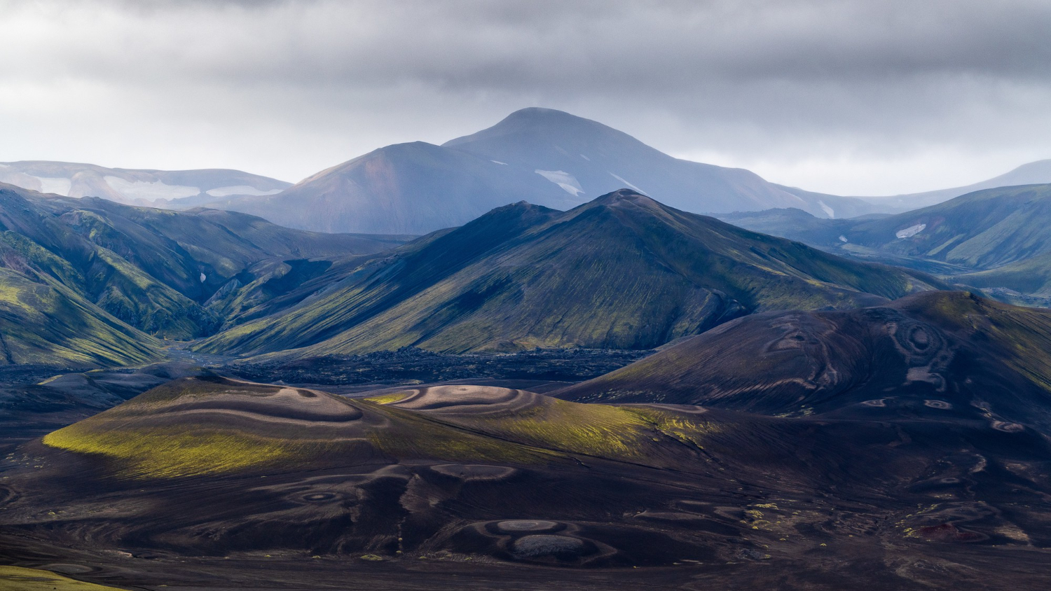
Some volcanic regions have no single mountain but dozens of small cones scattered across an area, each the product of a single brief eruption that never recurred.
The field is the volcano rather than any one cone. Monogenetic fields are the volcanic landscape with no centre.
15. The Steam Coming Out of the Ground
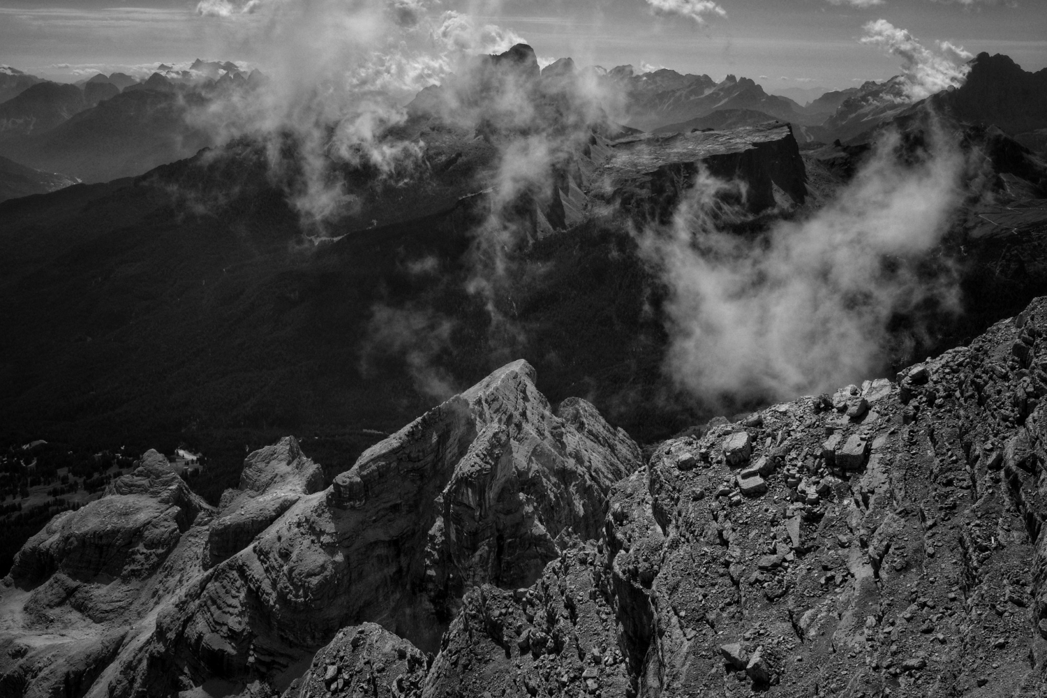
Long after activity ends, residual heat drives water and gas to the surface as vents, hot springs and mineral deposits, sometimes for a very long period.
The colours around them come from mineral chemistry. Fumaroles are the evidence that heat remains below.
16. The Astonishingly Good Farmland
Volcanic material weathers into soil that is exceptionally fertile, which is the reason people have farmed the slopes of active volcanoes throughout history.
It is a rational calculation rather than recklessness. Volcanic soil is the reason these landscapes are populated.
17. The Island That Is a Mountain Top
Many volcanic islands are the emergent summits of enormous submarine mountains, so the visible island is a small fraction of the structure.
Measured from the seafloor, some exceed any mountain on land. The island peak is the top of something mostly underwater.
How Thick Was the Lava
Viscosity, water, cooling rate and what happened afterwards – four variables that between them account for the shield, the cone, the columns, the caldera, the tube, the pillows and everything else on this list.
Practical notes: volcanic ground is frequently unstable, fresh flows can be thin crust over voids, hollows can accumulate gas that displaces air, and the sharp fragmented surfaces cause real injury to hands and footwear. Active areas are managed by geological authorities who post current information, and that is the source to use rather than judgement on the day.
Like our content? Follow us for more.
