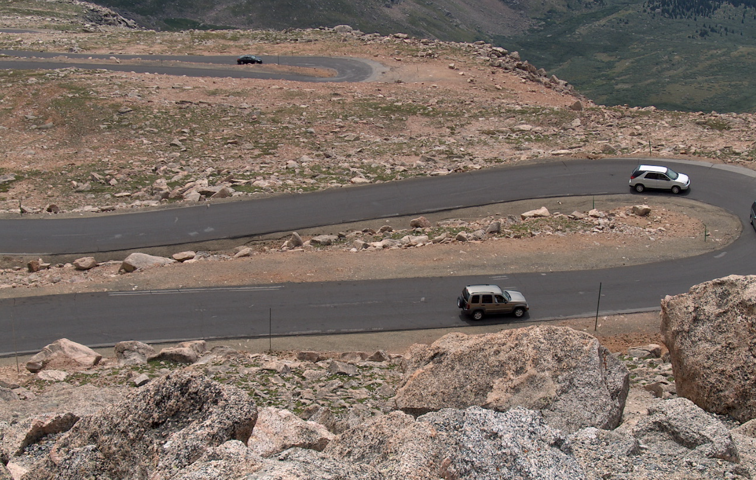
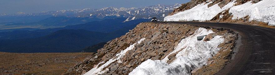
The Mount Evans Scenic Byway in Colorado reaches 14,130 feet — the highest paved road in North America. What makes this drive unusual isn’t just the elevation but the complete environmental transformation that happens between the base and summit. The road passes through five distinct ecological zones in 28 miles, creating a journey that compresses geographical variety usually found across thousands of miles.
1: Why 14,130 Feet Actually Matters
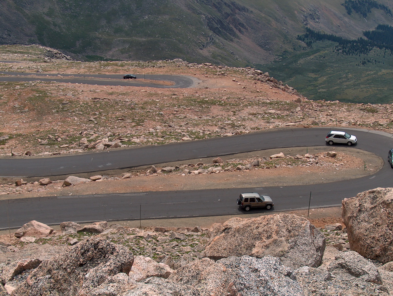
Fourteen thousand feet means roughly 60% of sea-level oxygen availability. For most visitors arriving from lower elevations, this produces measurable physical effects — faster heart rate, quicker breathing, difficulty sleeping. The symptoms are mild for people arriving from Denver (5,280 feet) but serious for people arriving from sea level. The road itself remains safe at this elevation; the danger is the human body’s reaction to thin air. Altitude sickness can begin as early as 8,000 feet and becomes increasingly likely above 10,000 feet.
2: The Sub-Alpine Forest Zone
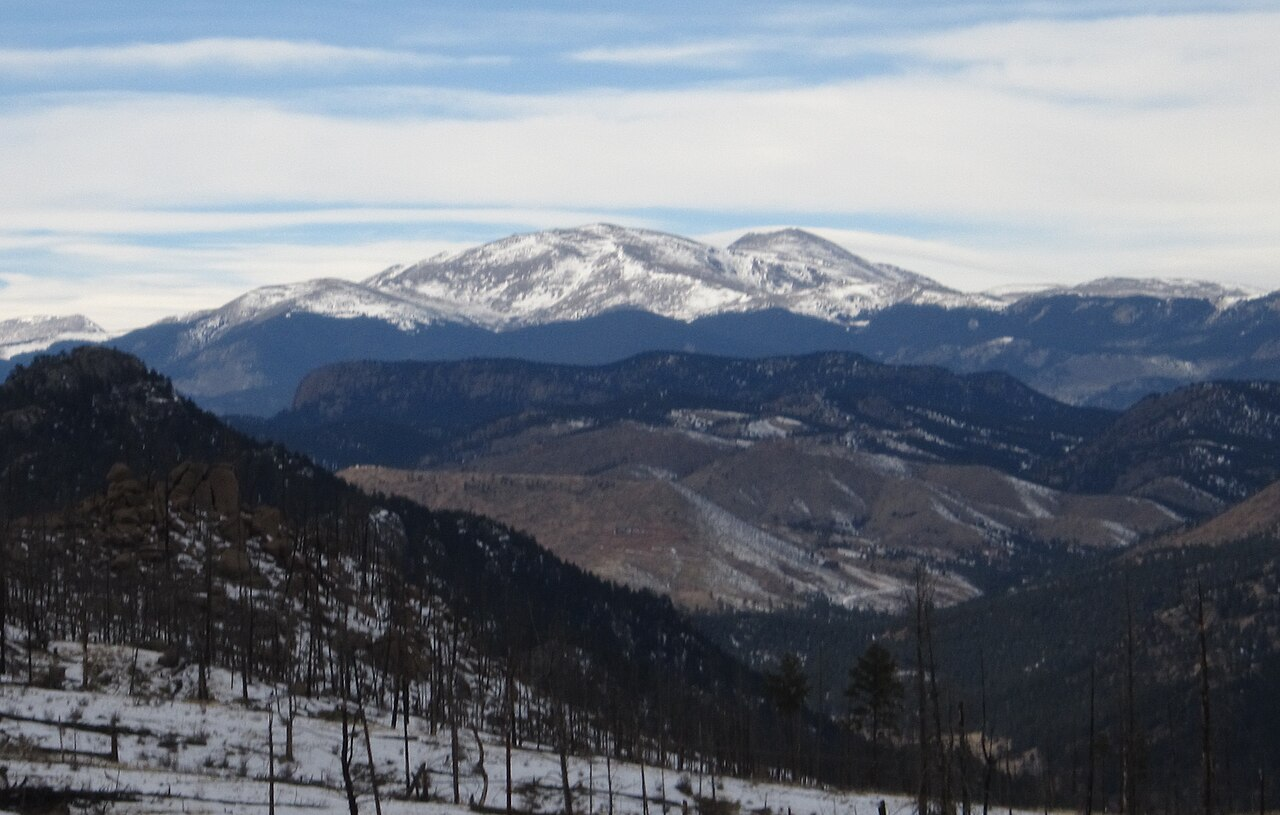
The drive begins at 9,000 feet where thick stands of Engelmann spruce and subalpine fir create a dark green corridor. The trees at this elevation are shaped by wind and snow — they’re shorter and stockier than lowland forests, adapted to extreme winter conditions. This zone receives 300+ inches of snow annually. The road is typically closed October through late May due to snow accumulation and avalanche risk. When open, the forest creates an unusually dramatic transition from the visible valley below.
3: The Transition to Timberline
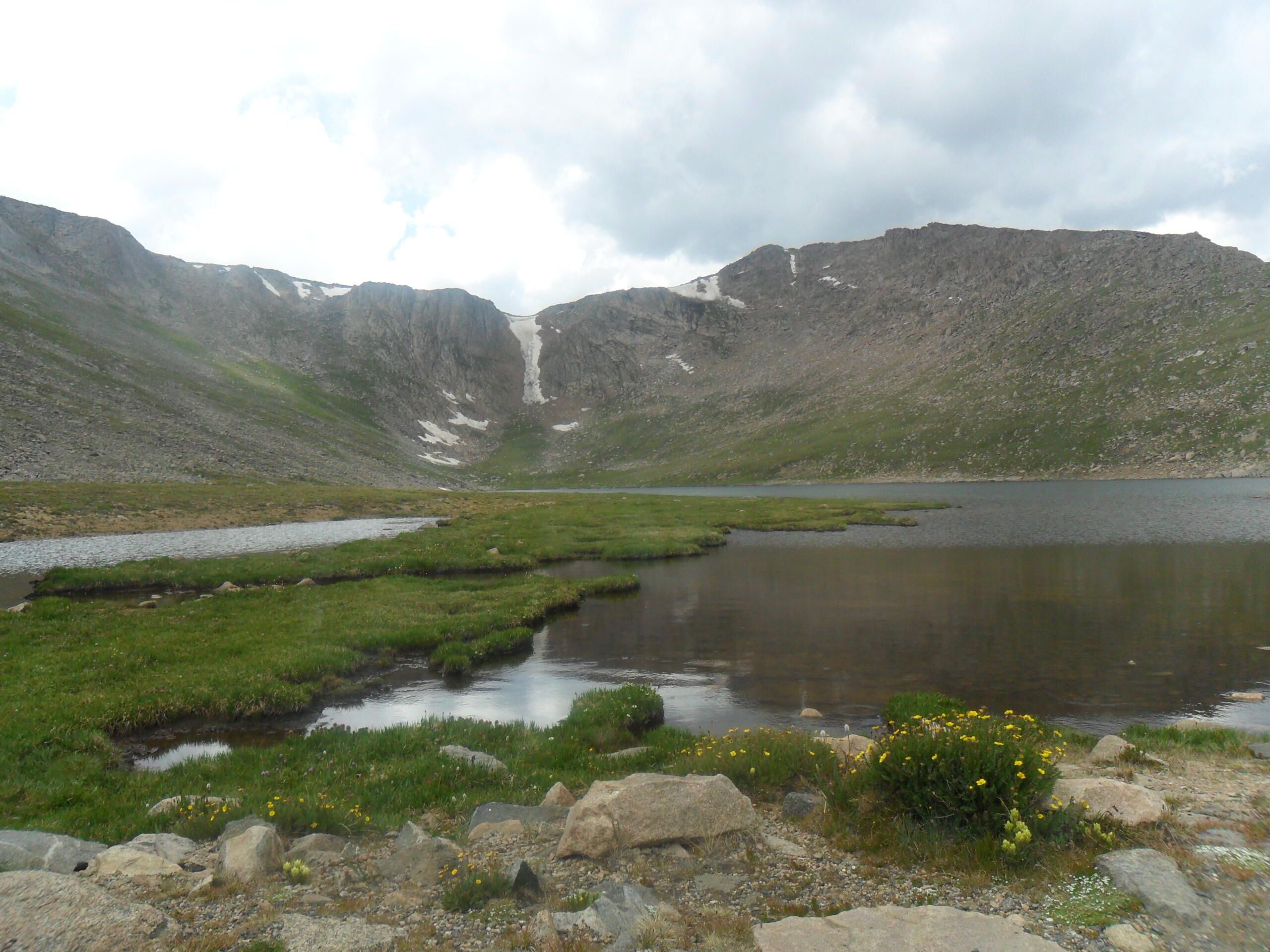
Between 11,000 and 12,000 feet, the forest transitions from healthy trees to stunted krummholz — German for “twisted wood” — trees that grow horizontally rather than vertically, shaped by constant high-altitude wind. These trees are still alive and still growing, but the extreme environment forces them into a prostrate form. The visual effect is surreal: the landscape looks like a Dr. Seuss illustration. At 11,500 feet, the last tree grows as a scraggly shrub barely three feet tall.
4: Above Timberline
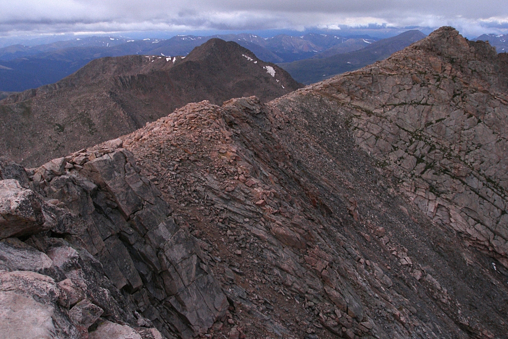
Above 12,000 feet, you leave forest entirely and enter alpine tundra — an environment more similar to arctic zones than to temperate forest. The vegetation is low (mostly under six inches), adapted to wind, freeze-thaw cycles, and brief growing seasons. Plants have deep root systems to anchor against wind and absorb water before snow melts away. Animals here are small (pikas, marmots) because large animals lose too much heat. The landscape looks barren but is actually teeming with specialized life.
5: The Atmospheric Phenomenon
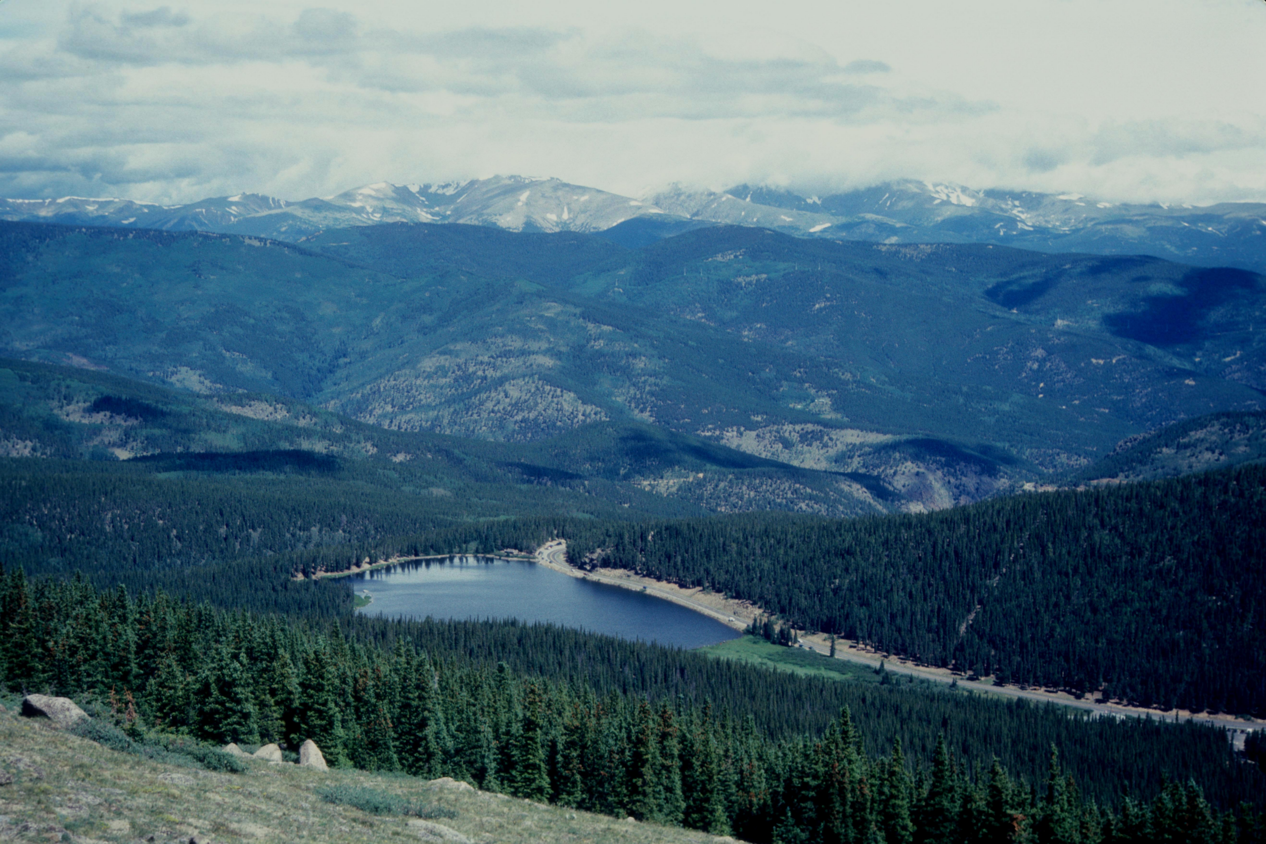
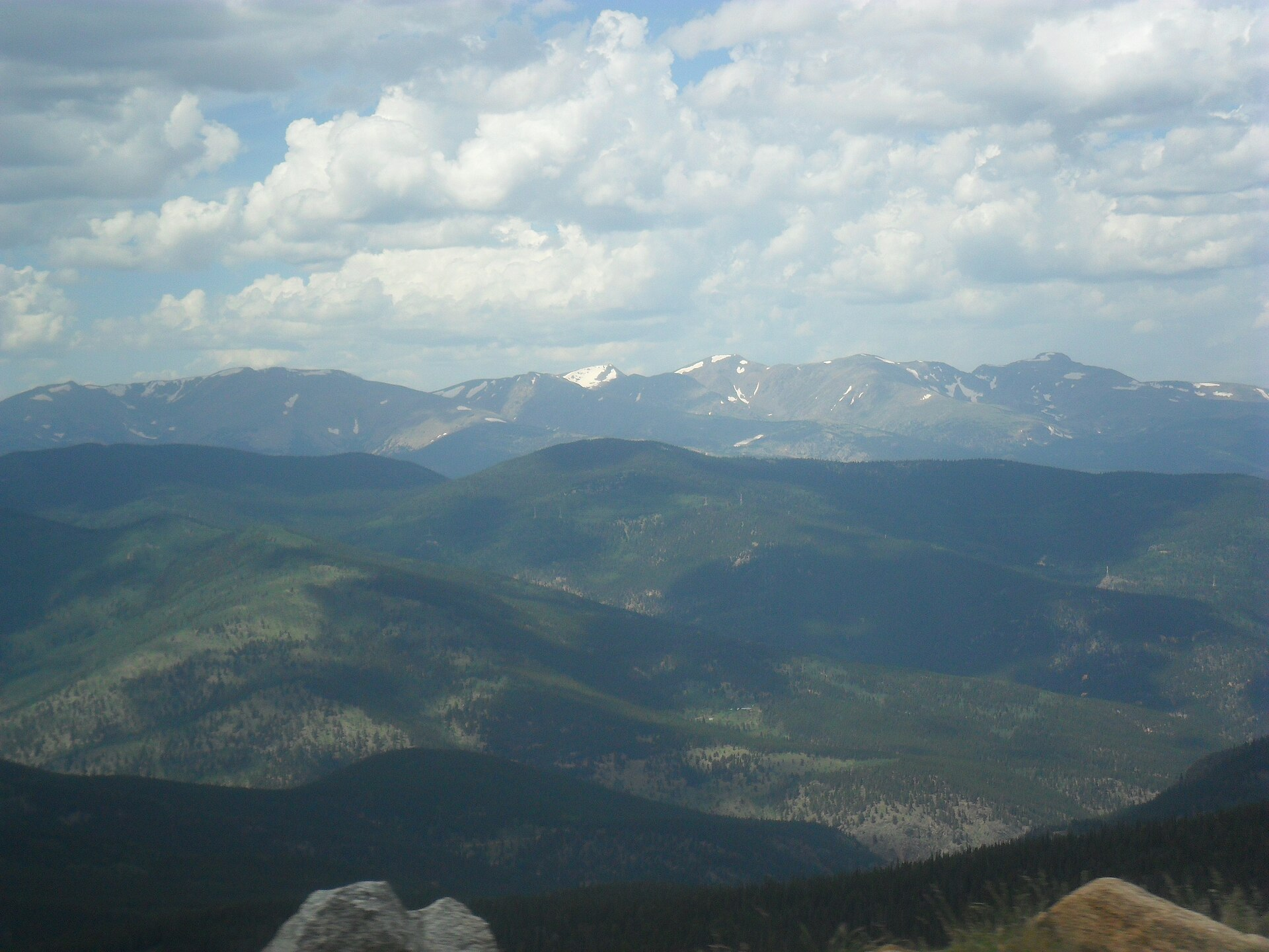
At 14,130 feet, the sky is noticeably darker blue than at sea level because there’s less atmosphere above you to scatter light. On clear days, visibility extends 100+ miles. On hazy days (common in summer due to smoke), visibility drops dramatically. The air is so thin that ultraviolet radiation is measurably stronger — sunburn happens faster at high elevation. The sun feels warmer because there’s less atmosphere to filter its radiation, but the temperature is simultaneously 30+ degrees colder than the base.
6: The Weather Isolation
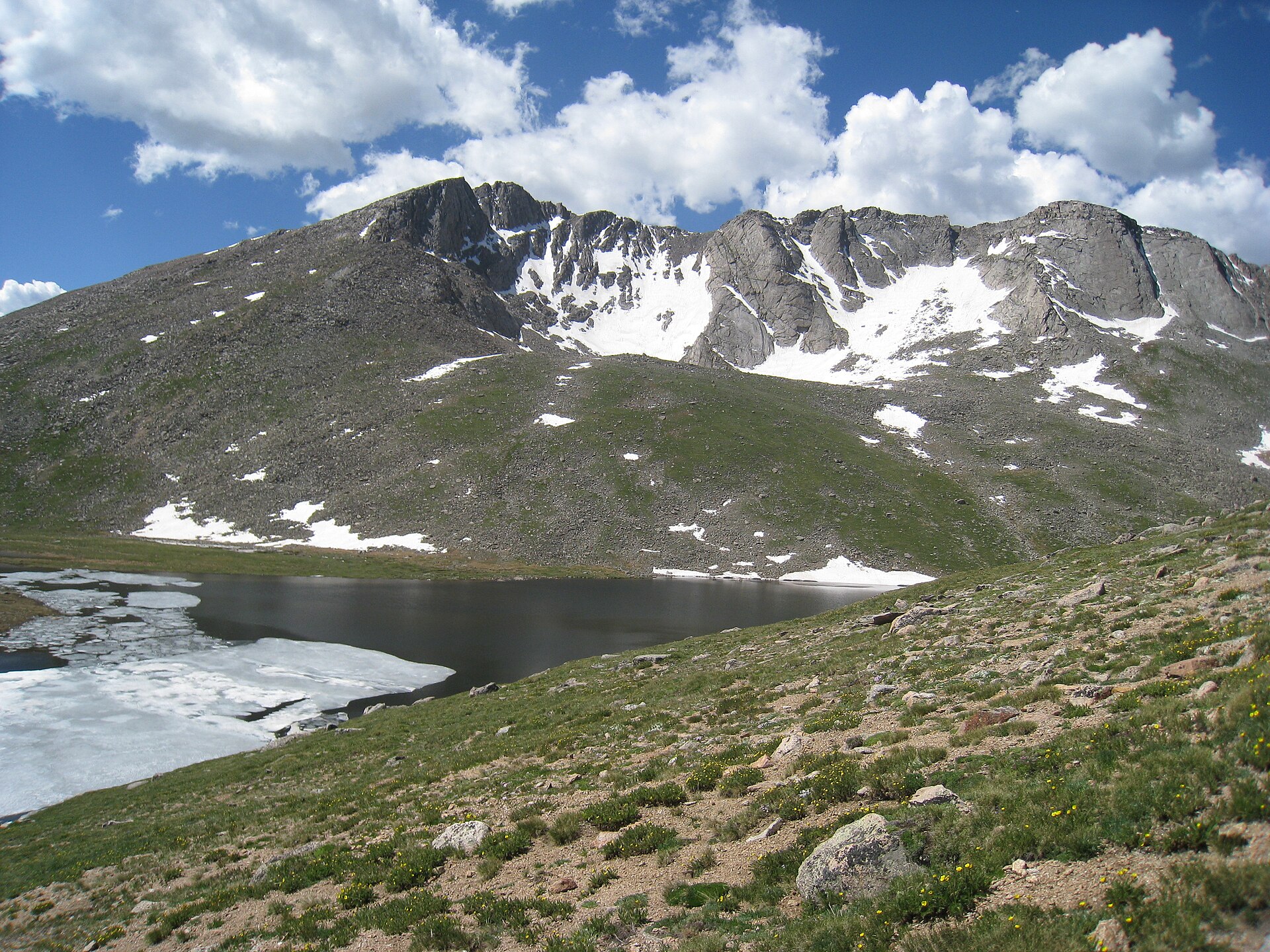
Weather at 14,130 feet is independent of weather at the base. The summit can have snow, lightning, and 50-mph winds while the valley below is sunny and 70 degrees. This has killed unprepared visitors who drove up in t-shirts. The rule is to bring winter clothes regardless of base weather. Afternoon thunderstorms are common in summer — the intense heating of the bare rock creates thermal updrafts that generate afternoon convective storms. The road closes temporarily during electrical storms due to lightning risk.
7: The Oxygen Adaptation Period
Most people require 2-4 hours to acclimate to 14,000-foot elevation. The body’s initial response is to breathe faster and increase heart rate to compensate for lower oxygen availability. Some people experience headaches, nausea, or fatigue. Sleeping above 12,000 feet is difficult because your breathing becomes irregular during sleep (the body struggles to maintain oxygen saturation). The standard recommendation is to ascend slowly, spend time at intermediate elevations, and avoid strenuous activity on arrival day.
8: The Geological History
Mount Evans is part of the Front Range, formed roughly 1.7 billion years ago. The rock is Precambrian granite and metamorphic rock — some of the oldest exposed rock in North America. The peak was glaciated during the last ice age, with remnant snow fields still visible in protected valleys. The road was built in 1930 to access a weather observatory and astronomical research station at the summit. The road itself required dynamite blasting through rock that had never previously been carved.
9: The Wildlife Above Tree Line
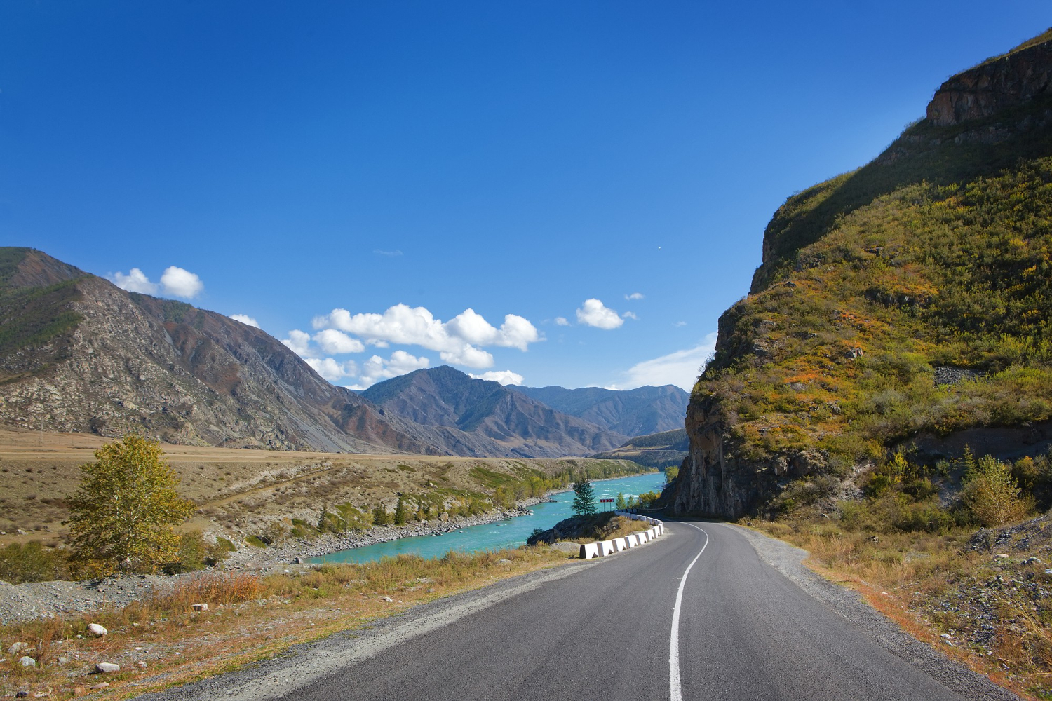
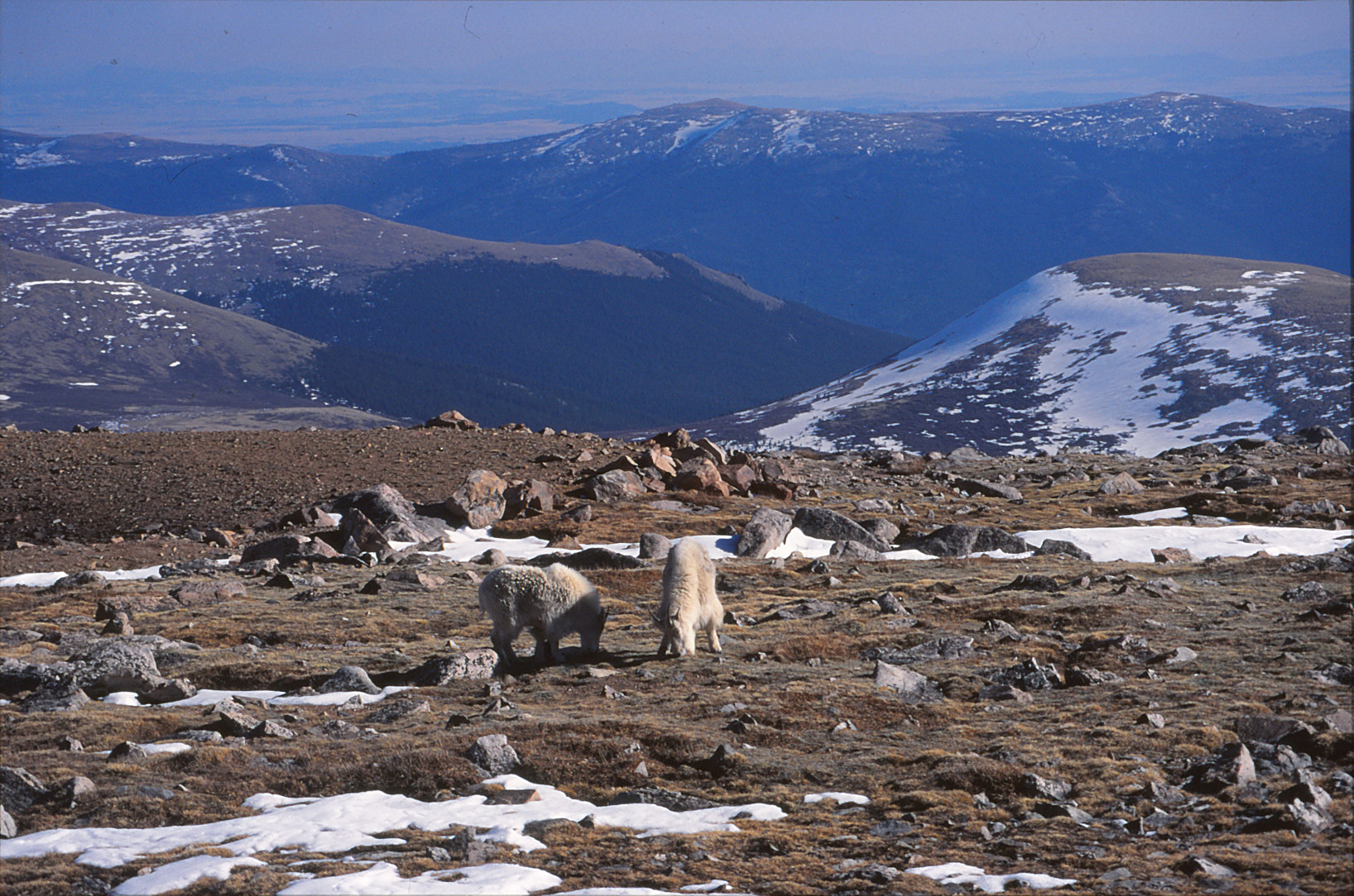
The alpine tundra supports specialized animals adapted to extreme conditions. Pikas (small rabbits) collect plants all summer and cache hay in rock crevices for winter. Marmots (ground squirrels) hibernate 8+ months per year. Mountain goats traverse slopes that appear impossibly steep. These animals have thicker fur, more efficient oxygen utilization, and metabolic adaptations that allow survival where most animals cannot. Seeing them is genuinely difficult because their camouflage is excellent and they’re wary of humans.
10: The Visibility Effect
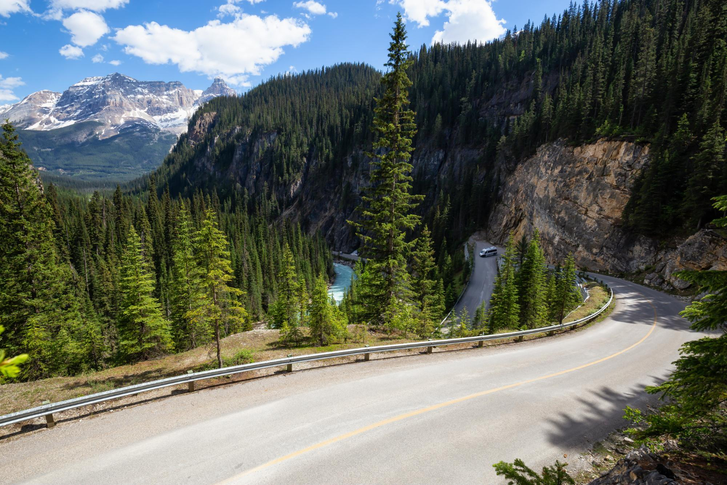
From 14,130 feet on a clear day, you can see across multiple states. The curvature of the earth becomes subtly visible — the horizon dips slightly. The landscape below appears miniaturized — Interstate 25 looks like a string, Denver looks like a small cluster of buildings. This perspective shift is one of the primary reasons people drive the road: the elevation provides a fundamentally different way of seeing the landscape than any other easily accessible North American location.
11: The Road Safety Reality
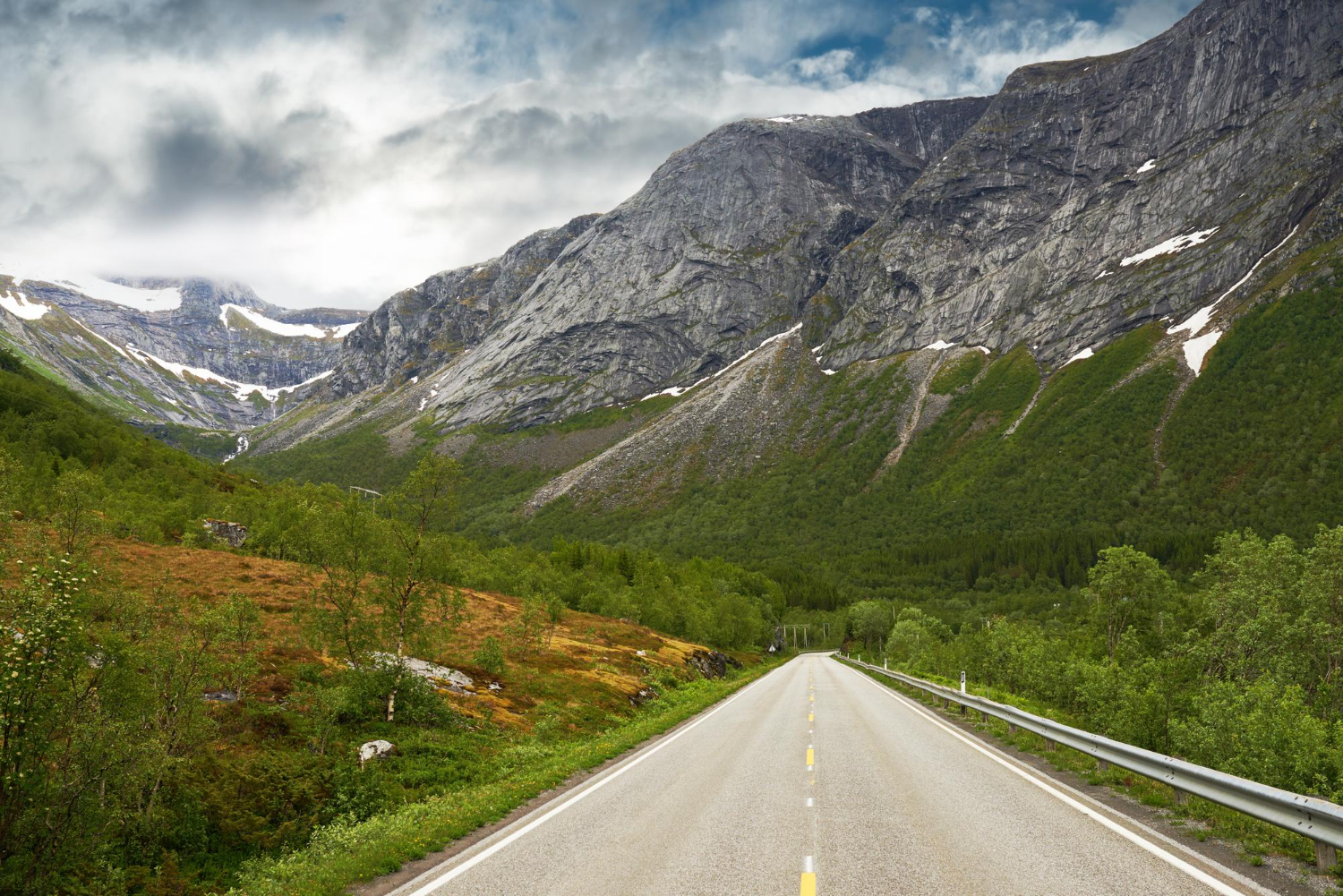
The road itself is well-maintained and has adequate guardrails. Accidents are rare and typically result from driver error in weather or driver inexperience with mountain roads. The primary danger is mechanical failure on the descent — brake fade on long downhill grades. Drivers are advised to shift into low gear on descent rather than riding brakes continuously. The road is narrow (one lane each direction) but the speed limit is reasonable (25 mph at elevation) and enforced.
12: The Summer Crowds
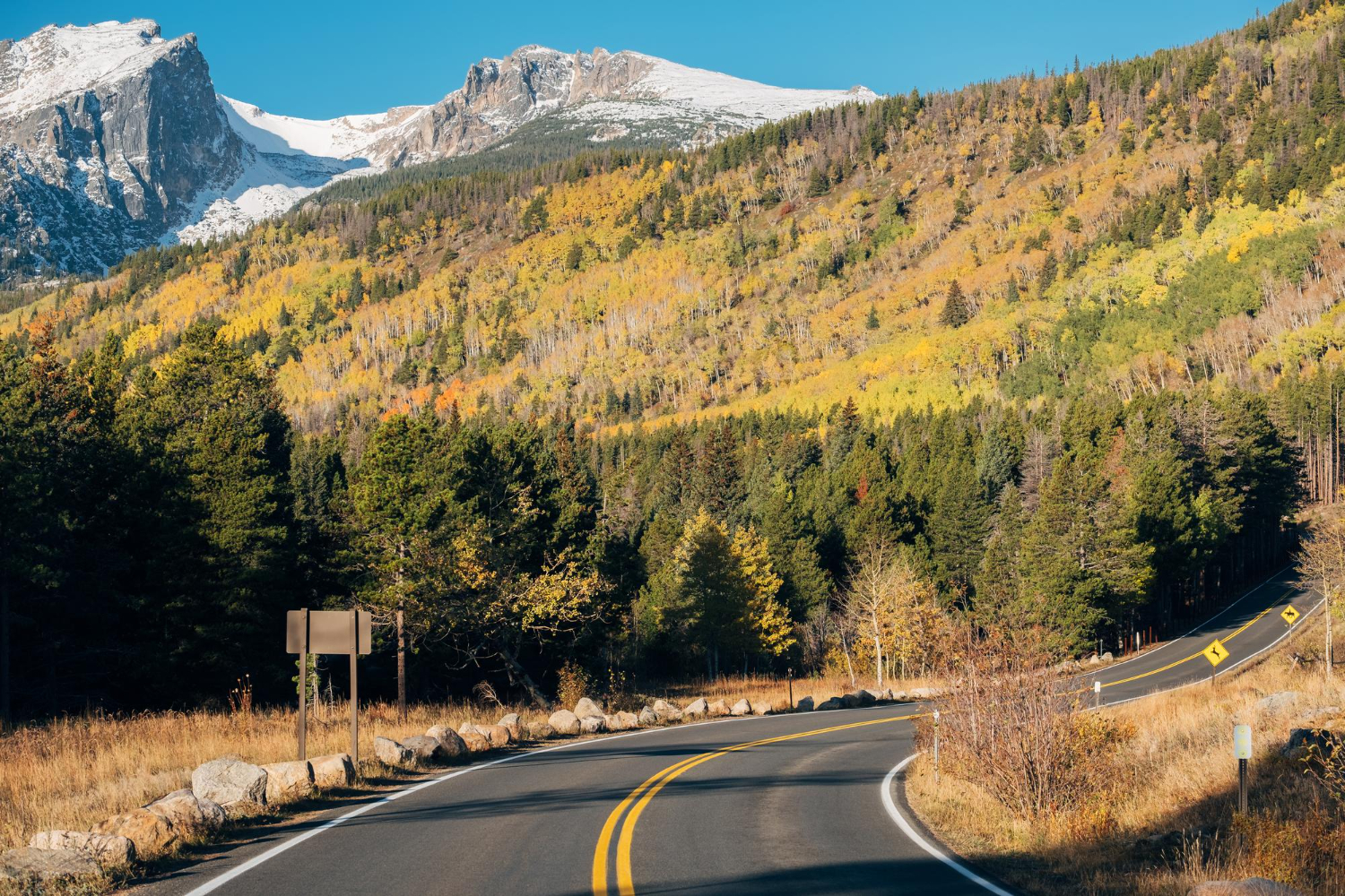
The road is typically open mid-May through Labor Day. During summer, it gets crowded — hundreds of cars on weekends. The summit parking area fills up by 10 AM on nice days. The experience is significantly better visiting mid-week or early morning. The crowds are tolerable compared to other high-elevation attractions (Rocky Mountain National Park, for comparison, gets 3+ million visitors annually; Mount Evans gets roughly 300,000). Photography at sunset or sunrise requires arriving early and waiting for crowds to leave.
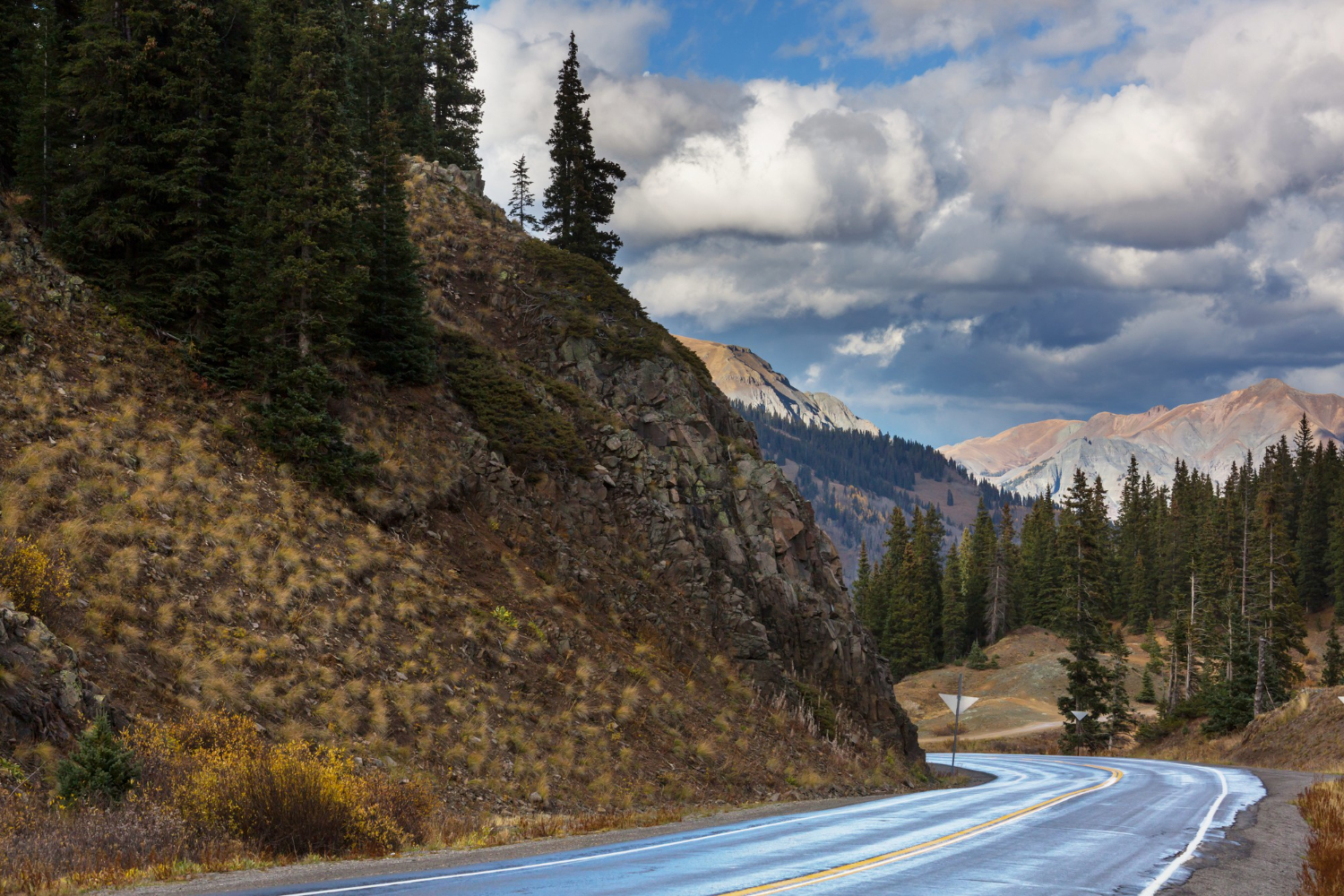
13: The Descent Experience
The descent is actually more impressive than the ascent for many visitors because you’re moving downhill and can see the landscape unfolding below. The ecological zones reverse in reverse order — leaving tundra, entering stunted forest, entering full forest. The temperature increases noticeably as you descend. The descent takes slightly longer than the ascent because of brake management. Many visitors report the descent as the most meditative part of the drive — the focus required for safe downhill driving actually enhances the experience for some people.