The useful question about any old route is what it was for, because the purpose determined the line – and routes made for different purposes look completely different on the ground. Here are fifteen.
1. The One That Keeps to the High Ground
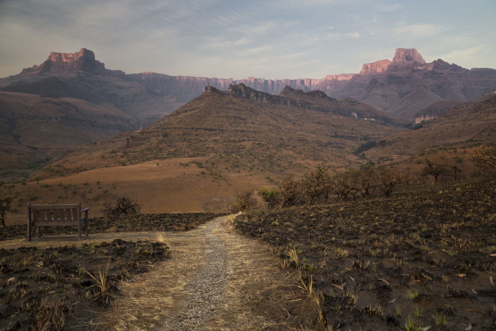
Before drainage and clearance, valleys were wooded, boggy and slow, while ridges were open, dry and offered visibility – so long-distance routes ran along the tops rather than the bottoms.
It is the opposite of modern road logic. Ridge routing is the alignment that reveals what the valleys used to be like.
Like our content? Follow us for more.
2. And Crosses Almost No Rivers
A route along a watershed stays on one side of the drainage, which means it avoids the crossings that made valley travel slow and hazardous.
Avoiding water was worth substantial detours. Watershed following is the practical reason the high line was chosen.
3. The Very Wide One
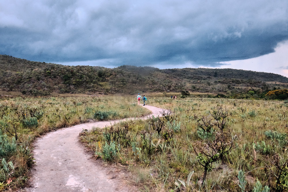
Routes used for moving livestock over long distances are far wider than a path needs to be, because animals travel spread out and graze as they go.
Some are the width of a field. Excessive width is the signature of a route made by animals rather than for them.
4. With Wide Verges and Broad Junctions
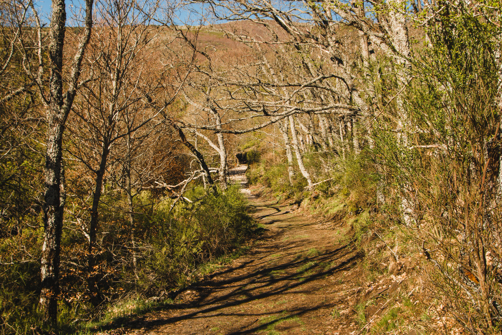
The same routes have generous margins, wide gateways and open spaces at junctions where animals were rested and gathered overnight.
Those spaces frequently survive as greens. Stopping places are the infrastructure the traffic required.
5. The One Sunk Below the Ground
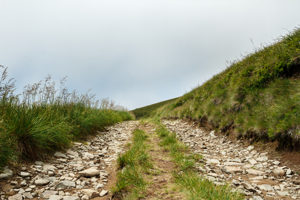
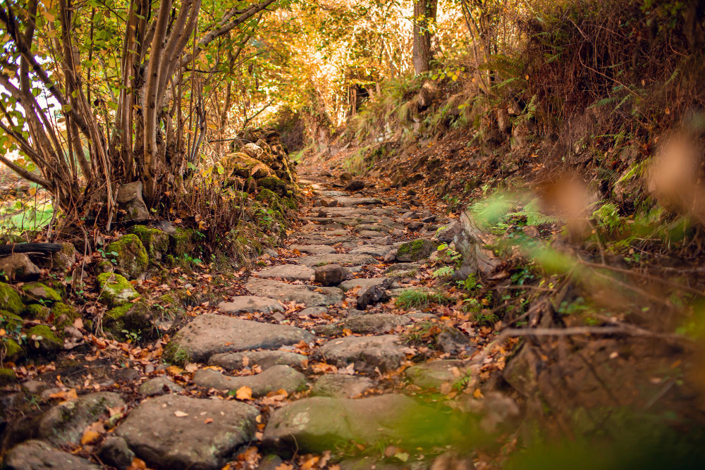
Where a route has been used heavily over centuries, wear and water erosion cut it progressively deeper until it runs several metres below the surrounding land.
It takes an extremely long time to form. The holloway is a route that has excavated itself by being walked.
6. The Narrow Path Between Two Places
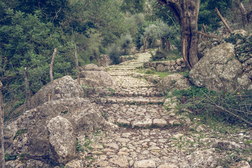
Direct routes between a settlement and a specific destination – a mill, a well, a church, a landing – are narrow, purposeful and take the shortest practical line rather than the easiest.
Their directness gives them away. The purpose-built path is the route with one obvious job.
7. The Route From an Outlying Place to the Parish Centre
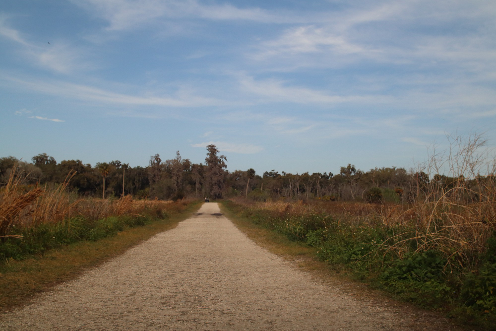
Settlements without their own church had defined routes to the one that served them, used regularly and long established, and these are recorded in names and rights of way.
They frequently cross ground nothing else crosses. The parish route is the line drawn by an administrative boundary.
8. The Route to the Crossing
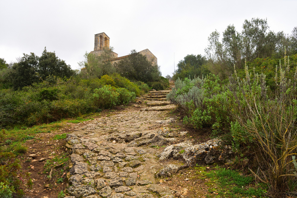
Where a river could only be crossed at particular points, routes from a wide area converged on those places – which is why the roads bend and why a settlement grew there.
The convergence came first and the town second. Crossing convergence is the geometry that determined where places are.
9. The One Named After What It Carried
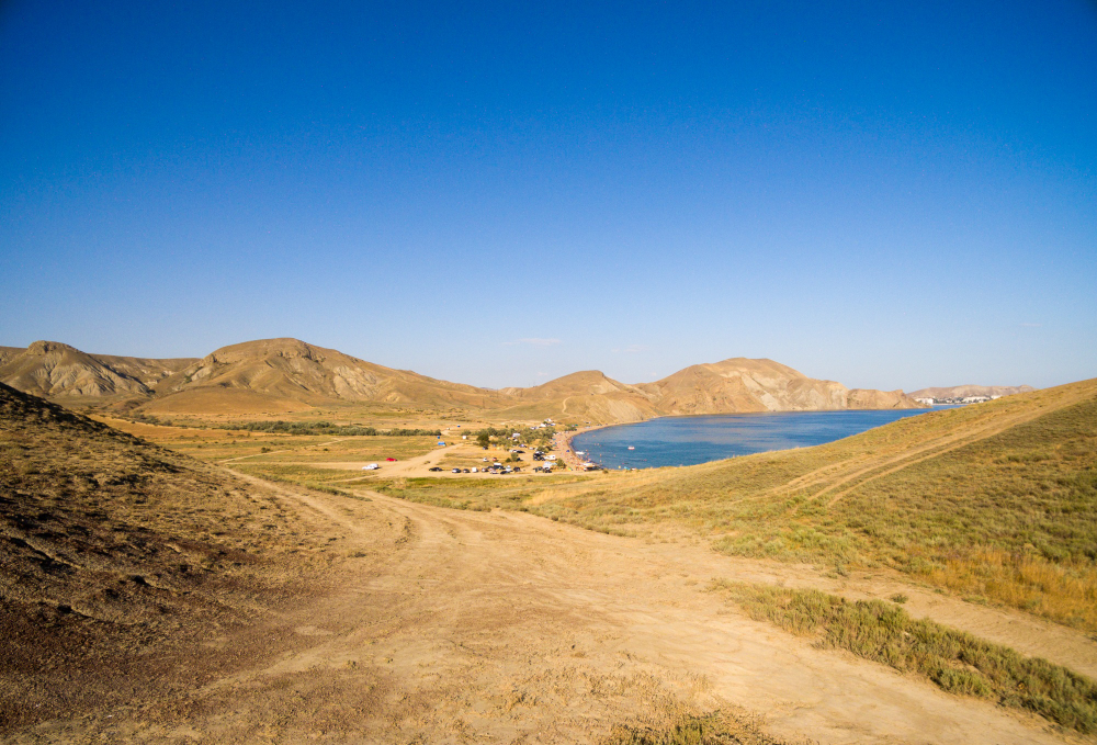
Routes used for a specific commodity – salt above all, but also lime, coal, wool and lead – are recorded in the names of roads, farms, fields and villages along them.
The name outlived the trade by centuries. Commodity naming is the record a route keeps of its own purpose.
10. The Route That Follows a Boundary
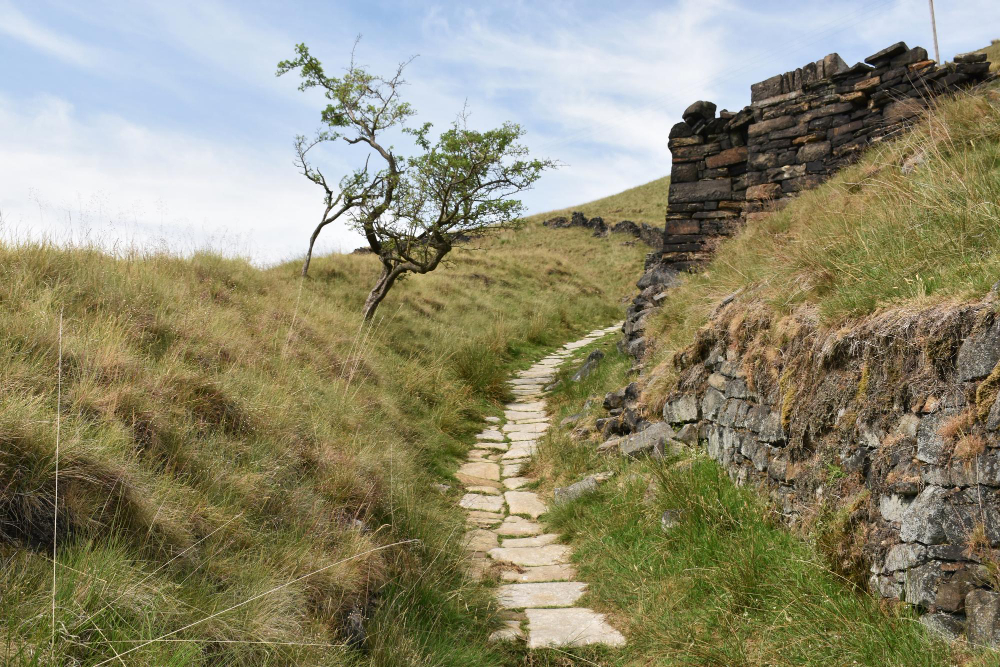
Some routes run along administrative or estate boundaries rather than between places, because the margin was ground nobody was farming and everybody could use.
They wander in ways that make no sense as a journey. Boundary routes are the paths that follow a line rather than a destination.
11. The One That Converges With Others
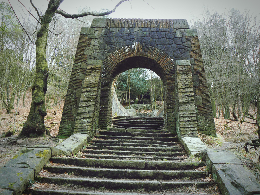
Routes leading to a single significant destination merge progressively as they approach, producing a branching pattern that is obvious on a map and invisible on the ground.
Facilities developed along the busier sections. The converging network is the shape a destination imposes on a region.
12. The Straight One
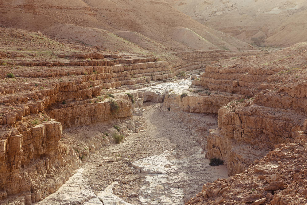
A route running dead straight across varied terrain, changing direction only at high points, was surveyed rather than worn – and its alignment is unmistakable once recognised.
Nothing that develops by use behaves that way. Deliberate straightness is the signature of a planned road.
13. The One That Became the Main Road
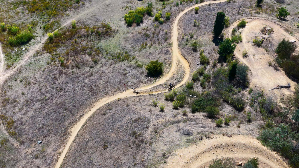
A substantial number of old routes were surfaced, widened and absorbed into the modern network, which means the alignment survives under tarmac while everything about the surface has changed.
The bends are frequently inherited. The upgraded route is the old road you drive along without noticing.
14. And the One That Was Abandoned Entirely
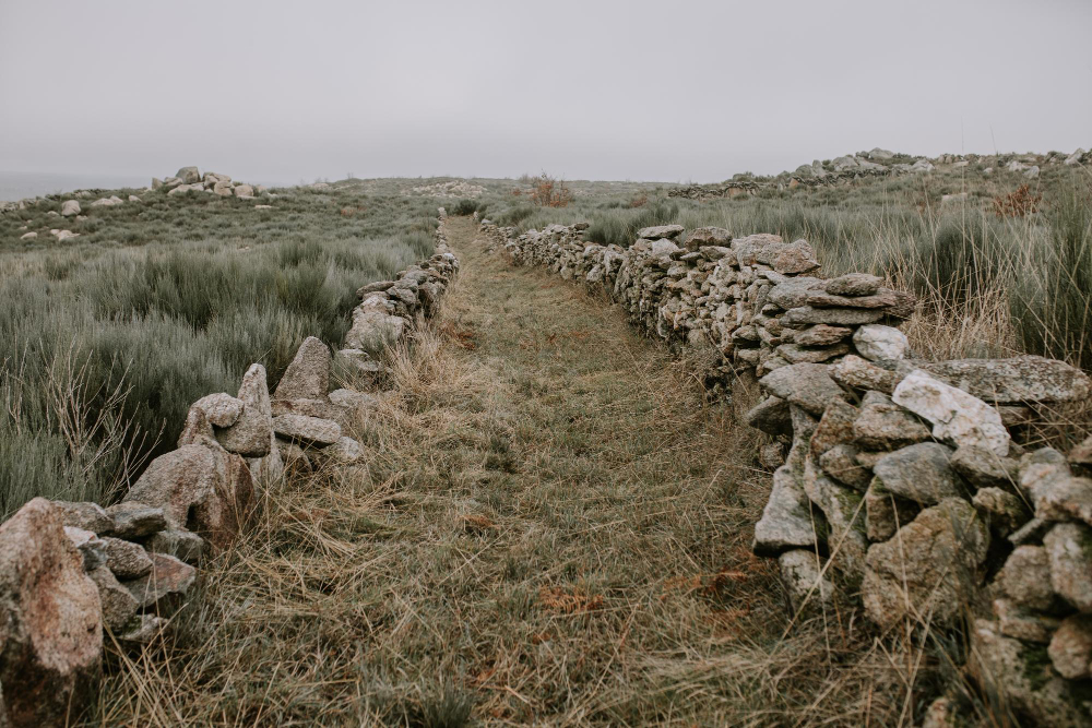
Where a route was superseded, it stopped being maintained and survives as a hedge line, a field boundary, a terrace on a hillside or a sequence of gates that lead nowhere in particular.
Nothing developed on it because nothing needed to. The abandoned route is the one preserved by neglect.
15. The Path That Survived Because Nobody Wanted It
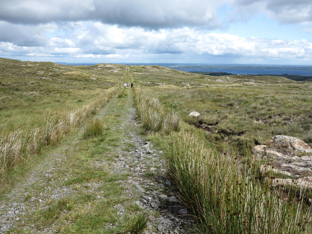
Old routes frequently survive as footpaths precisely because they were bypassed – a road worth developing was developed, and one that was not remained as it was.
Preservation is a consequence of irrelevance. Survival by obsolescence is why the oldest surviving routes are the least important ones.
Somebody Needed to Get Somewhere
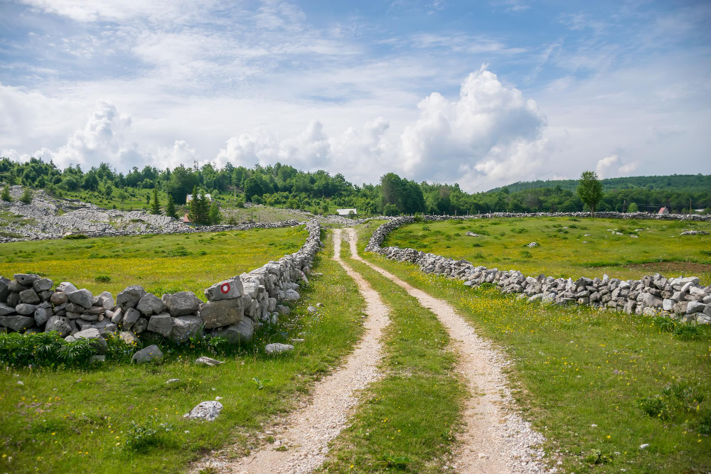
Livestock, salt, a parish church, a river crossing or a dry line above a wet valley – each produced a route with a characteristic width, alignment and depth, and most of them can still be read.
Practical notes: an old route marked on a map is not necessarily a maintained path, and many cross ground that is now farmed, fenced or overgrown. Access rights differ enormously between countries and between individual routes, and a line on a historic map confers nothing on its own. Check what applies locally, and treat anything that has stopped being a path as private ground until established otherwise.
Like our content? Follow us for more.