The useful question at any reservoir is why the wall is where it is, because that position was chosen for reasons of geology and geometry that determined everything else. Here are seventeen.
1. The Narrow Point Was Chosen for a Reason
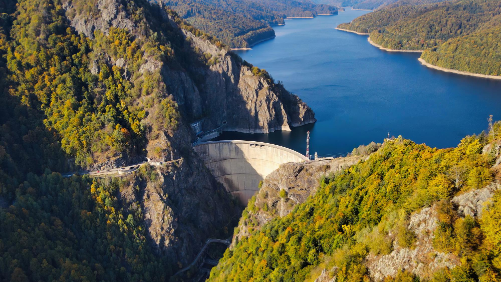
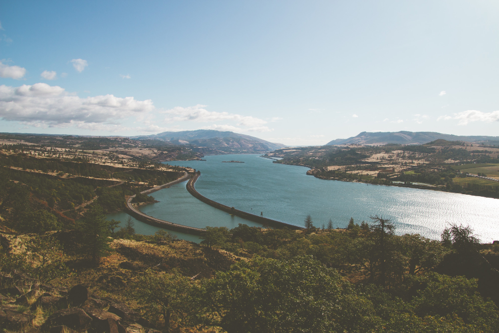
A dam is built at the narrowest suitable point in a valley, because the wall is the expensive part and a narrow gap holding back a wide basin gives the most storage for the least construction.
The geometry decided the location. Valley narrowing is why dams sit where they sit rather than where the water is.
Like our content? Follow us for more.
2. The Shape of the Valley Sets the Capacity
A wide flat-floored valley holds enormous volume behind a modest wall; a steep narrow one holds far less for the same height.
Storage rises disproportionately with valley width. Basin geometry is what determines whether a site is worth damming.
3. An Earth Bank Is Held Up by Its Own Weight
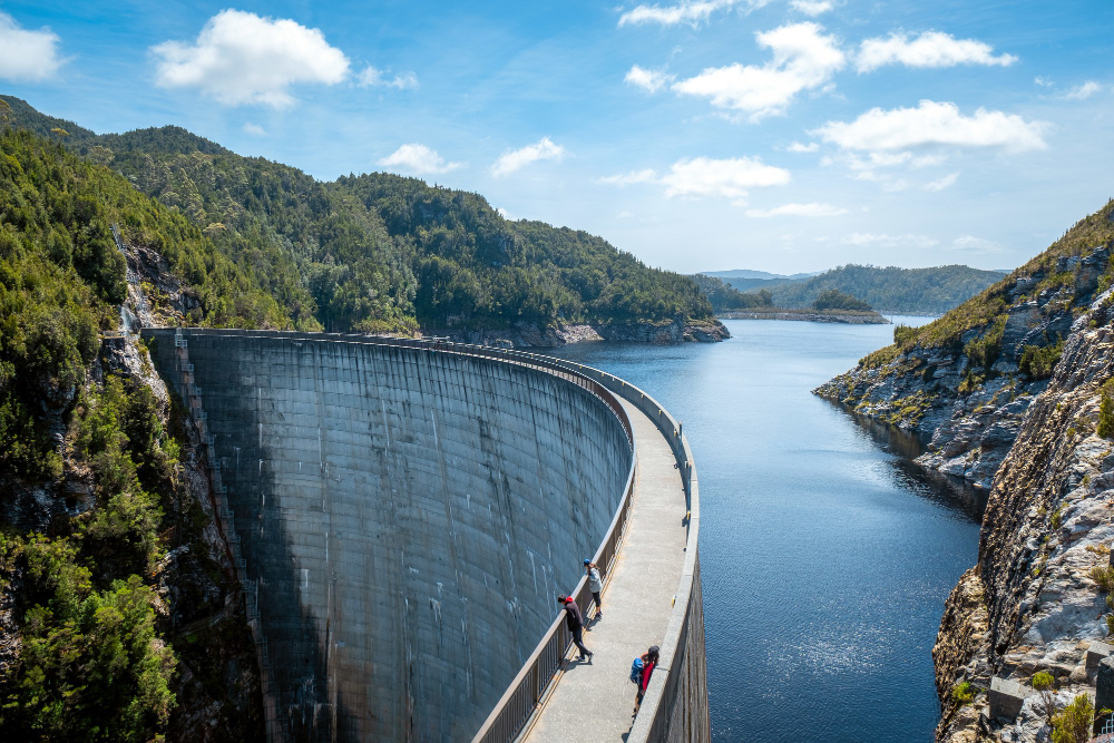
The commonest dam type is a broad embankment of compacted earth and rock with an impermeable core, sloping widely on both faces so that its mass resists the water.
It looks like a hill and is entirely constructed. The embankment dam is the type most people walk over without recognising.
4. A Concrete Wall Does the Same Job Differently
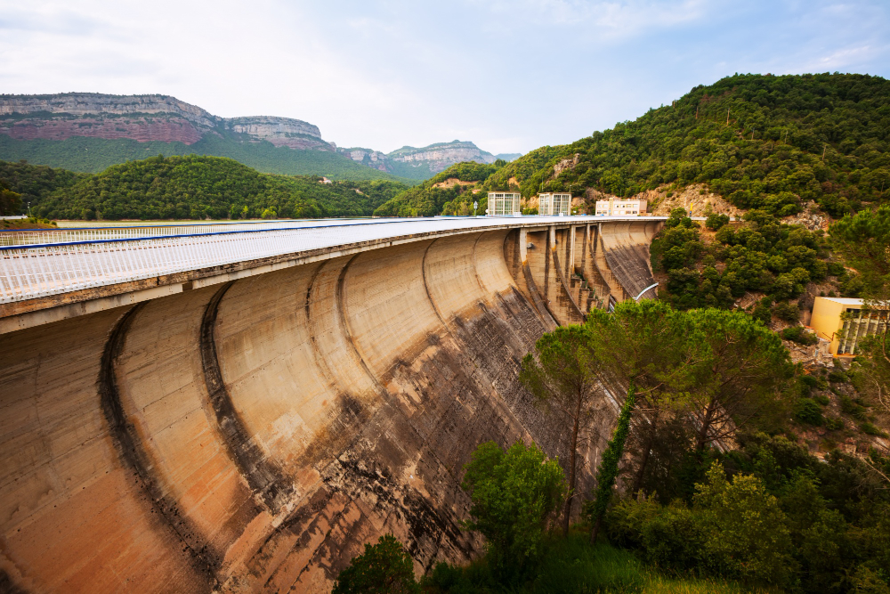
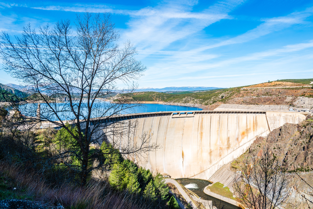
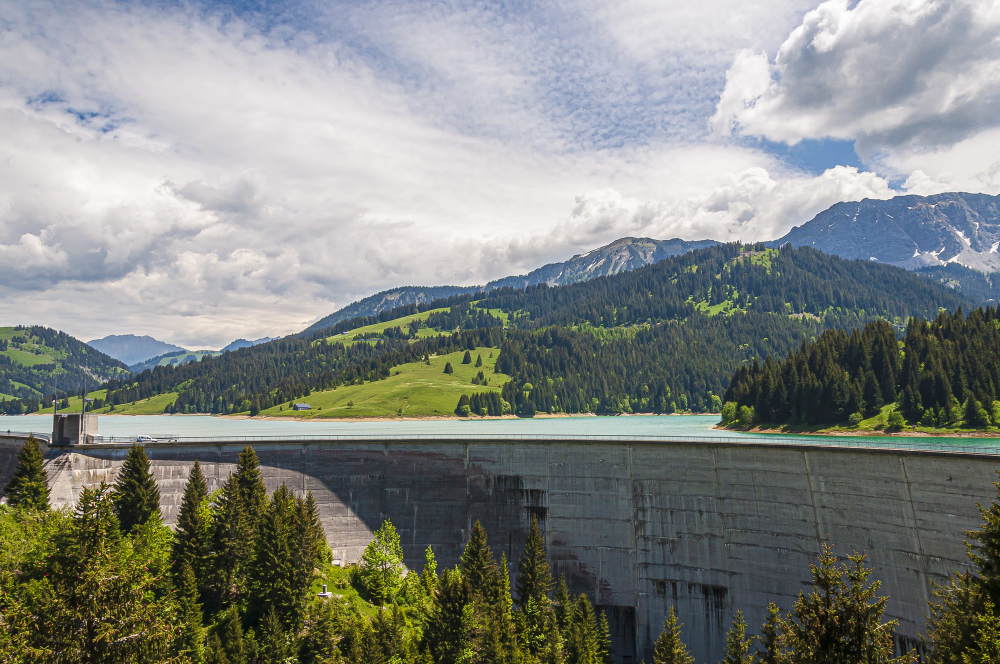
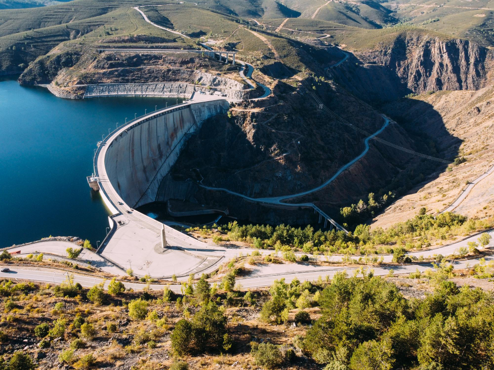
A gravity dam resists water pressure with sheer mass of concrete, standing as a thick wall whose weight and friction against the foundation hold it in place.
Nothing clever is happening structurally. Gravity construction is mass doing the work.
5. The Curved Ones Push Into the Sides
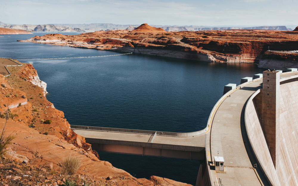
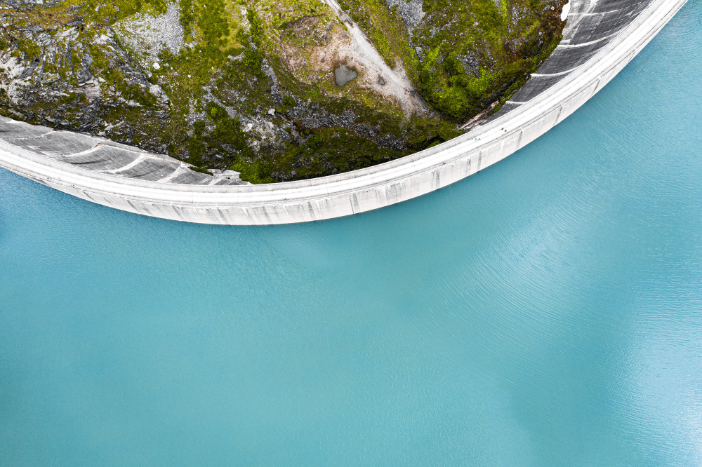
An arch dam curves upstream so that water pressure is transferred into the valley walls rather than resisted by the dam alone, which allows a far thinner structure.
It requires strong rock on both flanks. The arch dam is the design that uses the valley as part of the structure.
6. The Spillway Is Not Optional
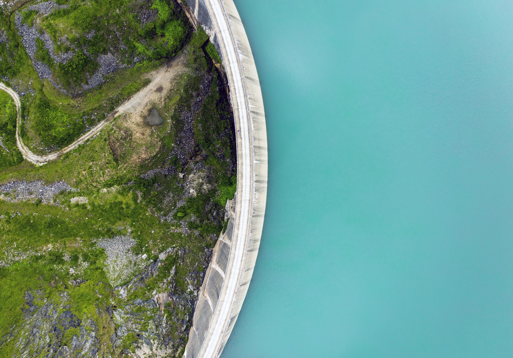
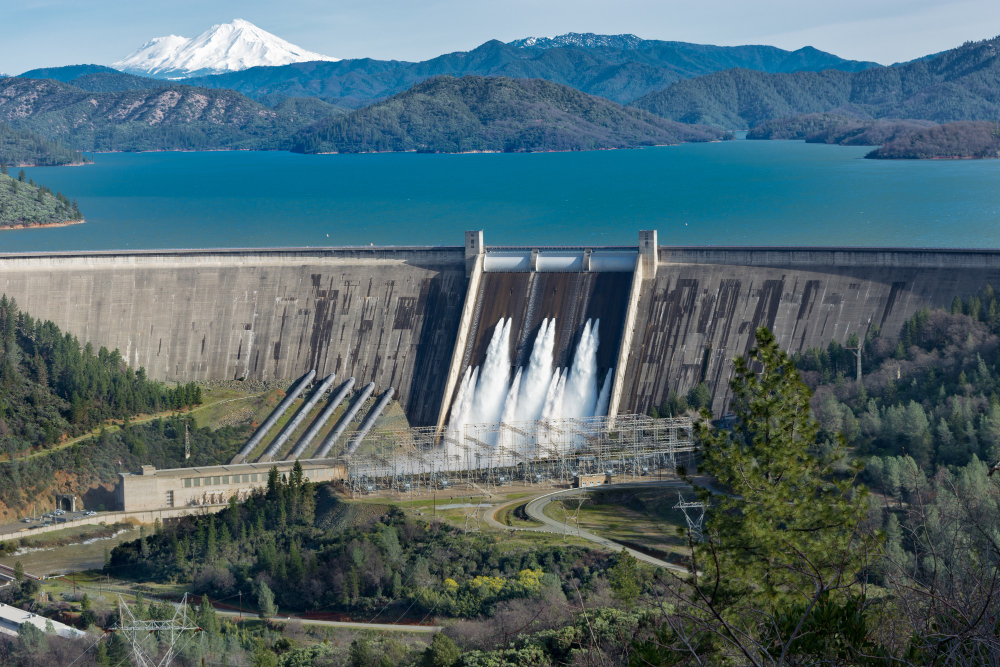
Water rising above the dam crest would flow over it, and a dam overtopped is a dam in serious difficulty, so every one has a route for surplus water to leave under control.
It is the most important feature and the least noticed. The spillway is the design requirement that everything else depends on.
7. And Its Shape Tells You the Design Flow
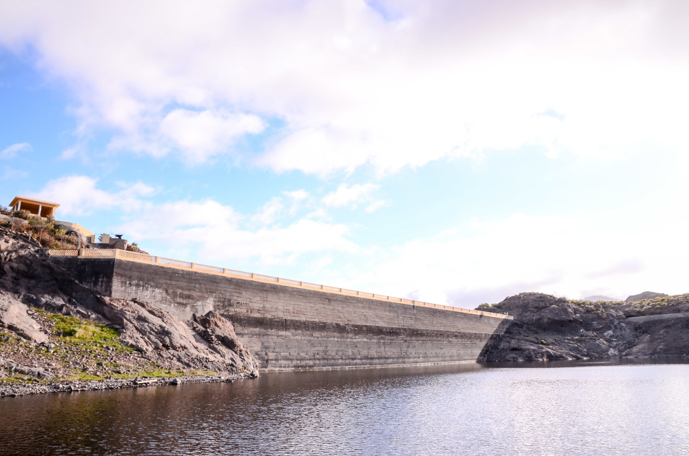
Bellmouth openings, stepped channels and side channels are each suited to different volumes and site geometries, and the size indicates what the engineers expected.
It is generally far larger than seems necessary. Spillway capacity is a statement about the worst case anticipated.
8. The Line Around the Shore
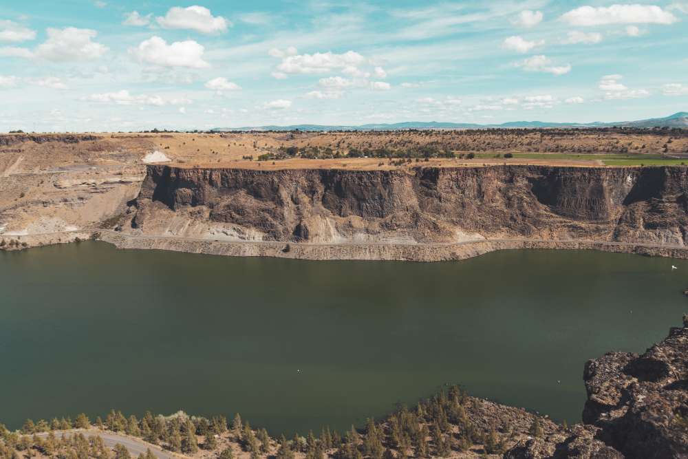
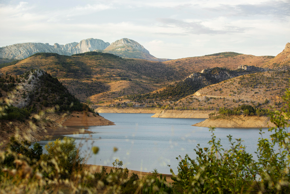
A pale band above the water level marks where the shoreline sits when full, and how far the current level is below it indicates how much has been drawn down.
The band is bare because nothing grows in a fluctuating zone. The drawdown mark is the reservoir gauge visible from any bank.
9. What Appears When It Is Low
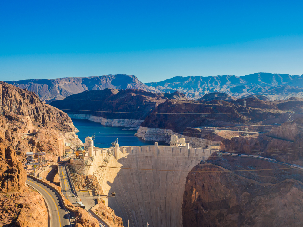
In dry periods the water can fall far enough to expose the valley floor, revealing walls, roads, foundations and field boundaries that are normally submerged.
They are frequently in remarkable condition. Exposed features are the valley reappearing.
10. The Sediment Stays Behind
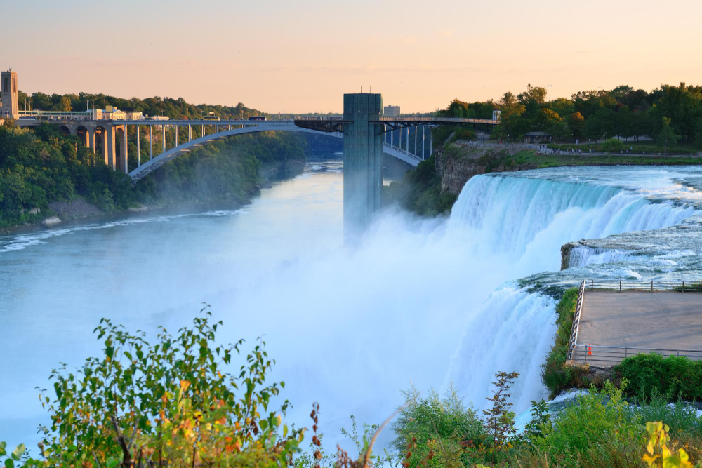
A river entering still water drops its load, so a reservoir traps sediment that would otherwise travel downstream, gradually reducing capacity over decades.
Every reservoir is slowly filling with the material it stopped. Sediment trapping is the process that limits the life of the structure.
11. And the River Below Runs Clear
Deprived of that sediment, the river downstream carries less material, which changes its bed, its banks and the habitats along it for a considerable distance.
The effect extends far beyond the dam. Downstream starvation is the consequence that occurs somewhere else entirely.
12. The Water Coming Out Is Cold
Water drawn from depth is substantially colder than a natural river at the same point, and releasing it changes the temperature regime downstream year-round.
That alters what can live there. Cold release is an ecological effect nobody intended.
13. Something Was There Before
Valleys suitable for reservoirs are frequently valleys people had already settled, farmed and routed roads through, and creating the reservoir meant removing what was there.
That is a substantial thing and it belongs in any account of one. Prior occupation is the history the water covers.
14. The Roads That Stop
Routes that once crossed the valley end abruptly at the water on both sides, and the alignment is frequently visible continuing on the far bank.
Bridges and fords lie beneath. Severed routes are the clearest evidence of the previous arrangement.
15. A Flow Is Released Deliberately
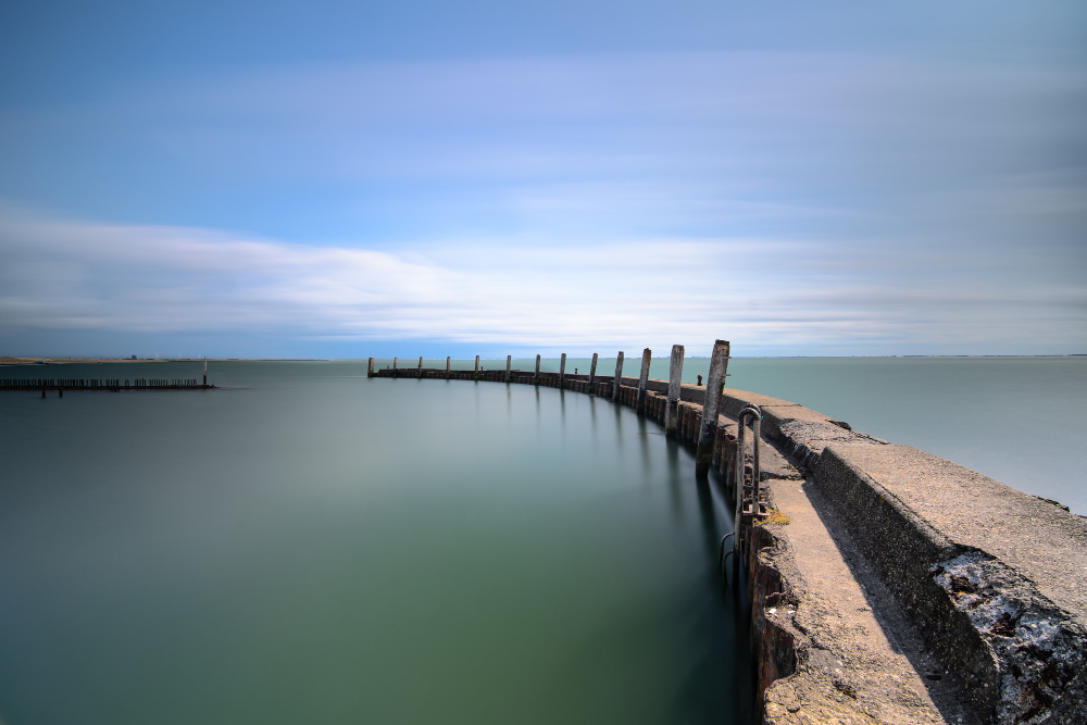
Rivers below dams are maintained by a compensation flow released continuously, because a river with nothing in it ceases to be a river at all.
The amount is set rather than natural. Compensation release is the acknowledgement that the valley below still needs water.
16. It Changes the Weather Slightly
A large body of water moderates local temperature, increases humidity and can affect fog formation in the valley, producing conditions that differ from the surrounding area.
The effect is modest and real. Local moderation is the reservoir altering the climate of its own valley.
17. The Conifers Around the Edge
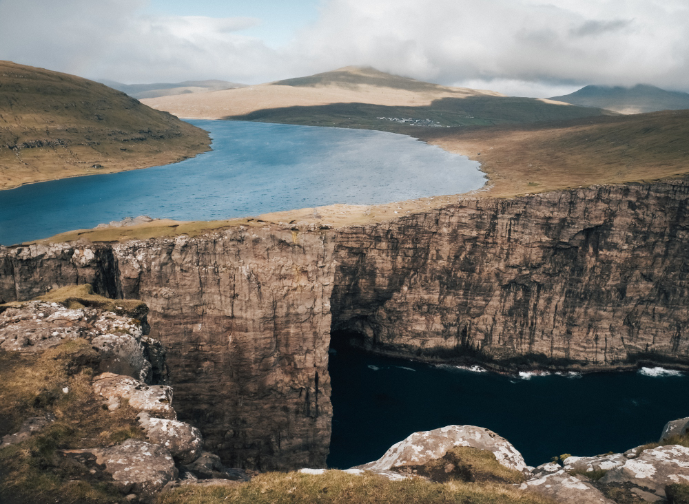
Catchment land is frequently planted to reduce erosion and protect water quality, which is why so many reservoirs sit in blocks of uniform forest quite unlike the surrounding country.
The planting is functional rather than scenic. Catchment forestry is the landscape the reservoir created around itself.
A Wall at the Narrowest Point
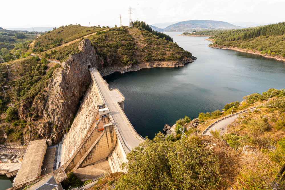
Geology chose the site, valley shape set the capacity, the rock decided the dam type, and everything else – the shoreline band, the clear river below, the forest, the severed roads – follows from the wall.
Practical notes: reservoir water is very cold at depth regardless of the air temperature, banks below the drawdown line are steep, unvegetated and unstable, and levels can change without warning because these are operating structures rather than lakes. Access is generally permitted only in specified areas, and the restrictions exist for reasons that are not always visible from the shore.
Like our content? Follow us for more.