

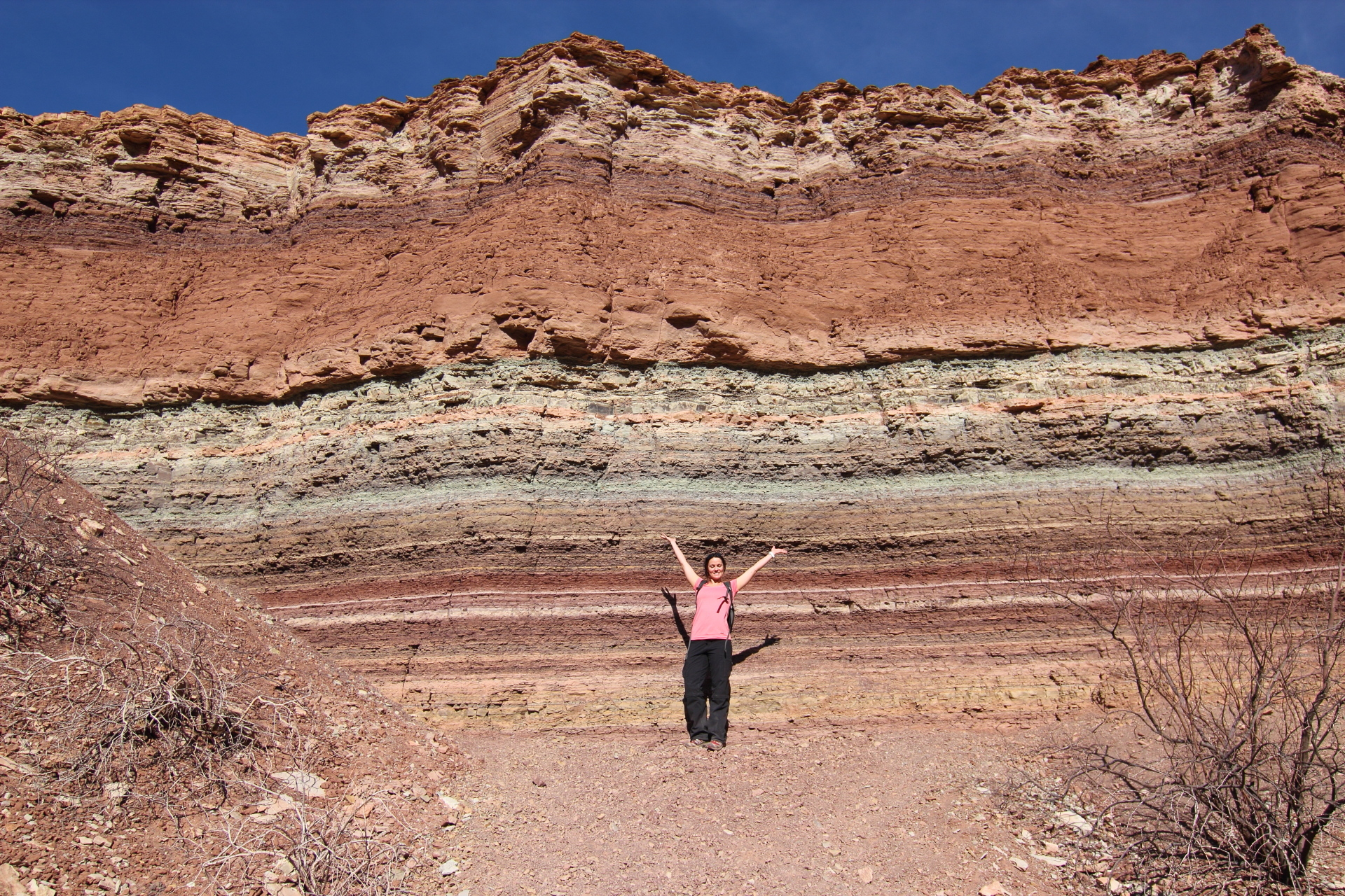
There is an intuition about layered rock that is almost universal and substantially wrong.
The intuition is that layers accumulate steadily, like pages in a book, so that a thick sequence represents a long period and a thin one a short period, with the whole thing forming a continuous account.
Sediment does not behave that way. It accumulates in bursts — a flood, a storm, a period of rapid deposition — separated by long intervals in which nothing much is laid down, or in which what was there is eroded away.
That produces a record which is real, readable and full of holes, and understanding where the holes are is a substantial part of the discipline.
Why the Layers Exist at All
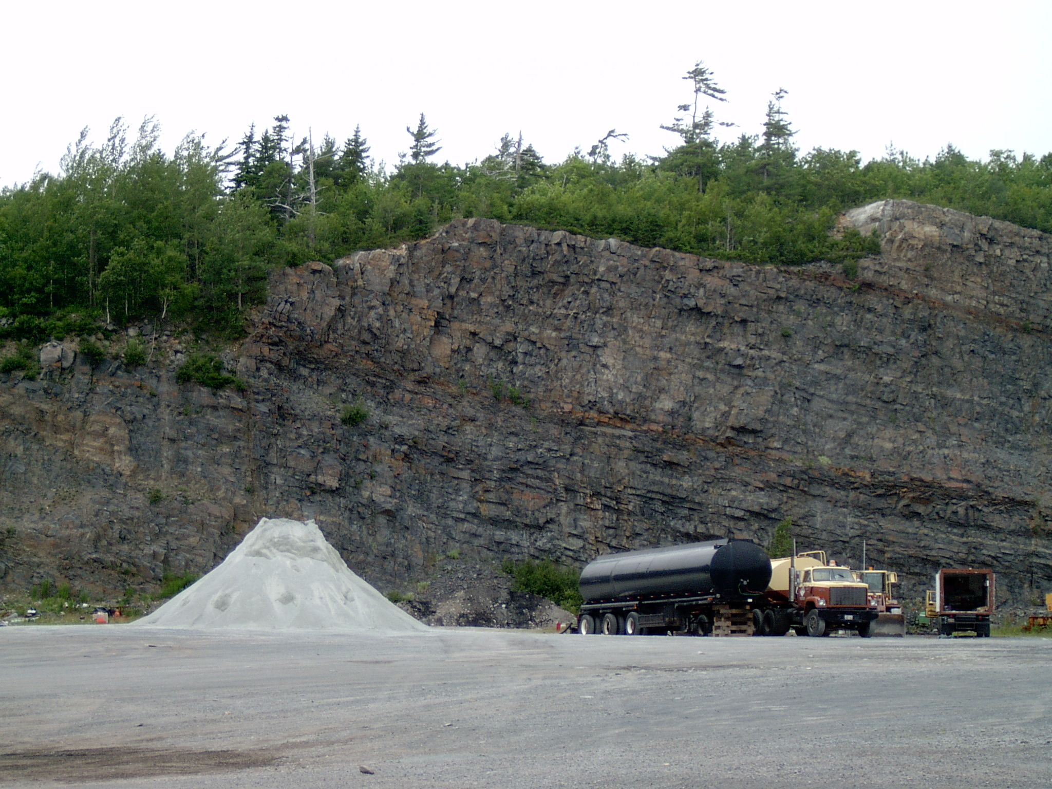
The basic principle is straightforward and holds reliably.
Material carried by water, wind or ice is deposited when the energy carrying it drops. Coarse material settles first and fine material travels further, so a change in conditions produces a change in what is deposited.
Layers form because conditions change. A shift in sea level, in climate, in the course of a river or in the supply of sediment produces a different deposit sitting on the previous one.
That gives the fundamental rule: in an undisturbed sequence, lower layers were deposited before upper ones. It sounds trivial and it is the foundation of everything, because it establishes order without requiring any dates.
Layers also record their own conditions. Grain size indicates energy, composition indicates source, structures within the layer indicate whether it was deposited by a current, a wave or still water, and the surfaces between layers indicate what happened in between.
Like our content? Follow us for more.
What the Gaps Look Like
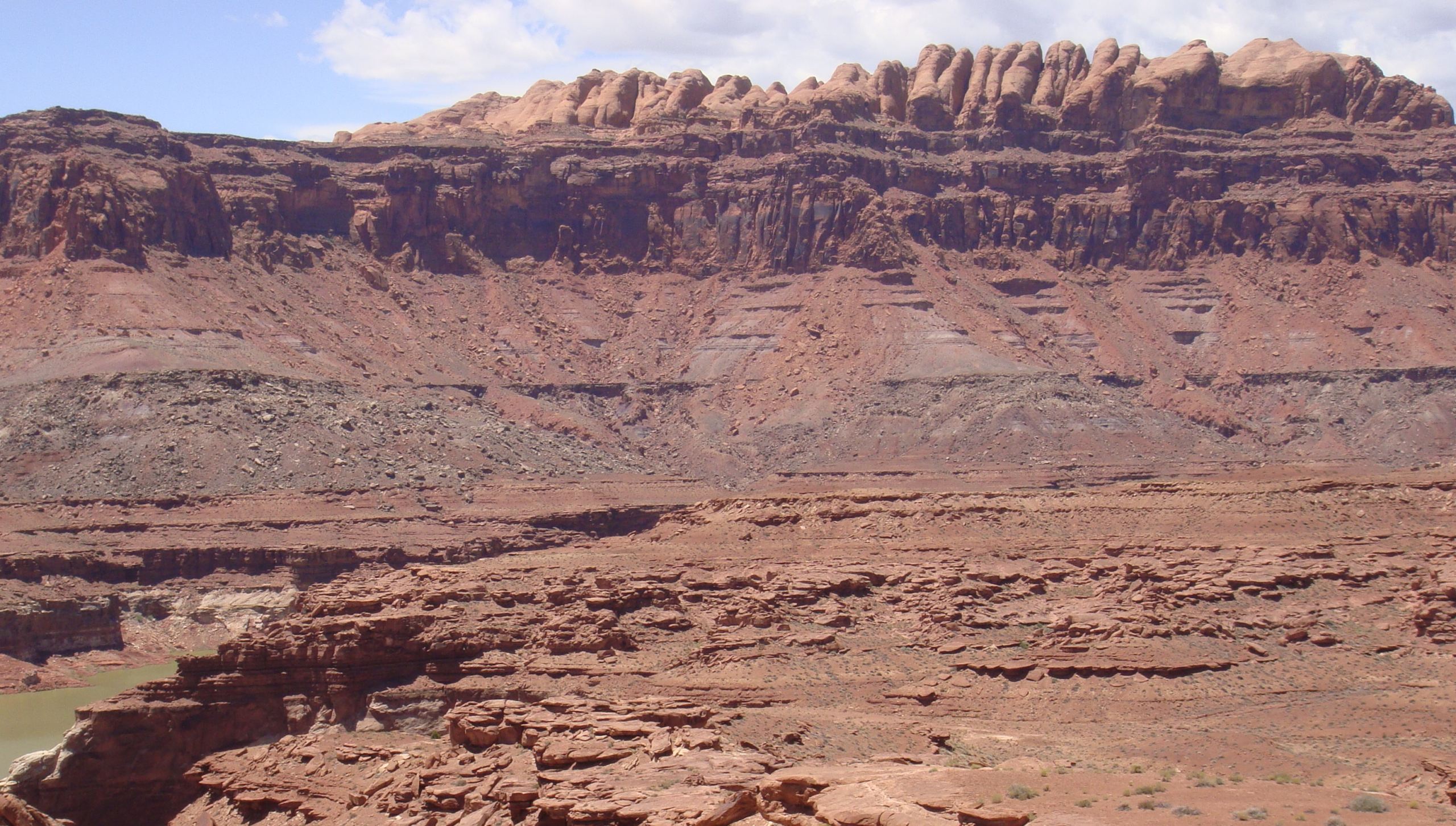
The missing time is the interesting part, and it is visible if you know what you are looking at.
A surface where deposition simply paused may show as a distinct line, sometimes hardened, sometimes bored into by organisms, sometimes with material concentrated on it that took a long time to accumulate.
A surface where erosion removed material before deposition resumed cuts across the layers below, truncating them — which is unmistakable once recognised, because the lower layers end against a surface rather than continuing.
The most dramatic version occurs where rocks were deposited, tilted or folded, eroded flat, and then buried under new horizontal layers. The junction between the tilted lower rocks and the flat upper ones represents an enormous span, and the recognition of what such surfaces implied was one of the foundational moments in the science.
Those junctions are readable in the field, which means a cliff face presents both what is recorded and, at specific identifiable surfaces, what is not.
There is a point about scale that helps here. A single bed a few centimetres thick may represent one storm, one flood or one season, and a cliff face containing thousands of such beds represents thousands of separate events rather than one continuous process.
Reading a sequence therefore means counting episodes rather than measuring thickness, which is a different mental operation entirely.
How Long Things Take
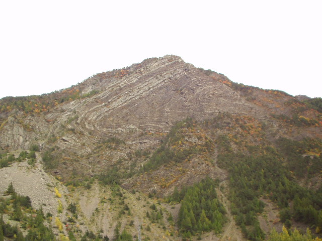
The timescales are the part people find difficult, and some calibration helps.
Rates of deposition vary enormously. Fine sediment settling in deep still water may accumulate at a fraction of a millimetre per year. A single flood may deposit a metre in a day.
That means thickness is a poor guide to duration without knowing what produced it. A thick sequence may represent a short period of rapid deposition, and a thin one may represent an enormous span of slow accumulation.
It also means the appearance of the rock is misleading in a specific way. A dramatic thick unit frequently represents a brief energetic event, while the thin unremarkable material between such units may account for most of the elapsed time.
The general point is that the record is biased toward events. Things that happen quickly and violently leave thick obvious deposits; long quiet periods leave little and are frequently removed later.
There is a further distortion worth naming. Older rocks have had more opportunity to be buried deeper, heated, deformed or destroyed, so the further back a period lies the less of it survives and the poorer its condition.
The record thins toward the past for reasons that have nothing to do with what was happening at the time.
What Gets Preserved and What Does Not
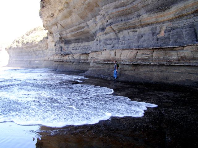
The bias extends to everything the record contains, which matters for how the past is reconstructed.
Environments where sediment accumulates and is buried — river deltas, lake beds, shallow seas, subsiding basins — are represented well. Environments where material is being removed rather than deposited — uplands, hillsides, most land surfaces — are represented very poorly.
That is a substantial distortion. Most of the Earth’s surface at any moment is not accumulating sediment, so most environments are systematically underrepresented.
The same applies to organisms. Hard parts preserve and soft parts generally do not, animals living in depositional environments preserve and those living in eroding ones do not, and abundant widespread species preserve while rare localised ones frequently leave nothing at all.
So the fossil record is not a sample of life; it is a sample of the subset of life that lived in the places where burial happens and had the kinds of body that survive it.
Recognising that bias is not a weakness of the science but one of its central tools, because a great deal of work consists of correcting for it.
Reading a Cliff
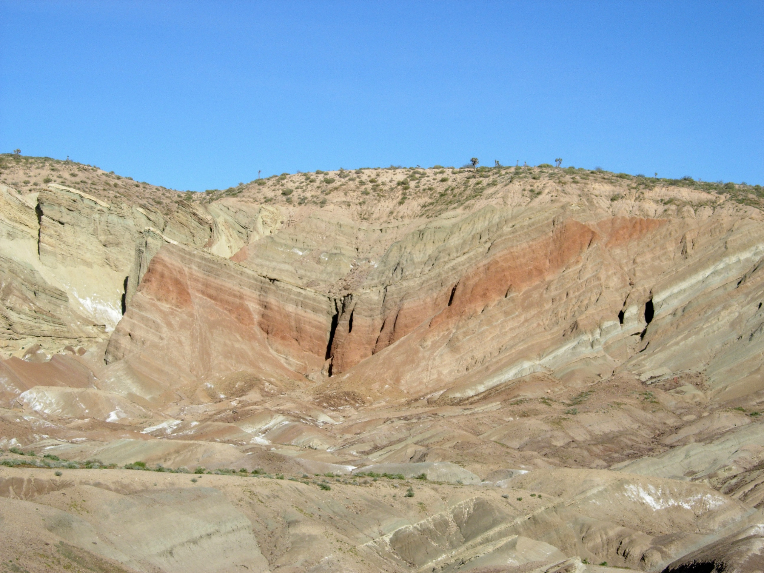
The practical skill is worth describing because it turns a rock face into something legible.
Start with orientation. Are the layers horizontal, tilted or folded, and if they are not horizontal, something moved them after they formed.
Then look at the surfaces between layers. Sharp surfaces indicate abrupt change; gradual transitions indicate slow change; surfaces cutting across underlying layers indicate erosion and missing time.
Then look at what is within each layer. Grain size, sorting, any internal structures, anything that indicates current direction, and whether the layer changes from bottom to top.
Then look at the sequence as a whole. Repeating patterns indicate cyclical conditions. A progression from coarse to fine indicates a change in energy over time.
None of that requires equipment, and it converts a cliff from a picturesque backdrop into a record of conditions at a particular place over a particular period, with the gaps marked.
The Same Layers in Different Places
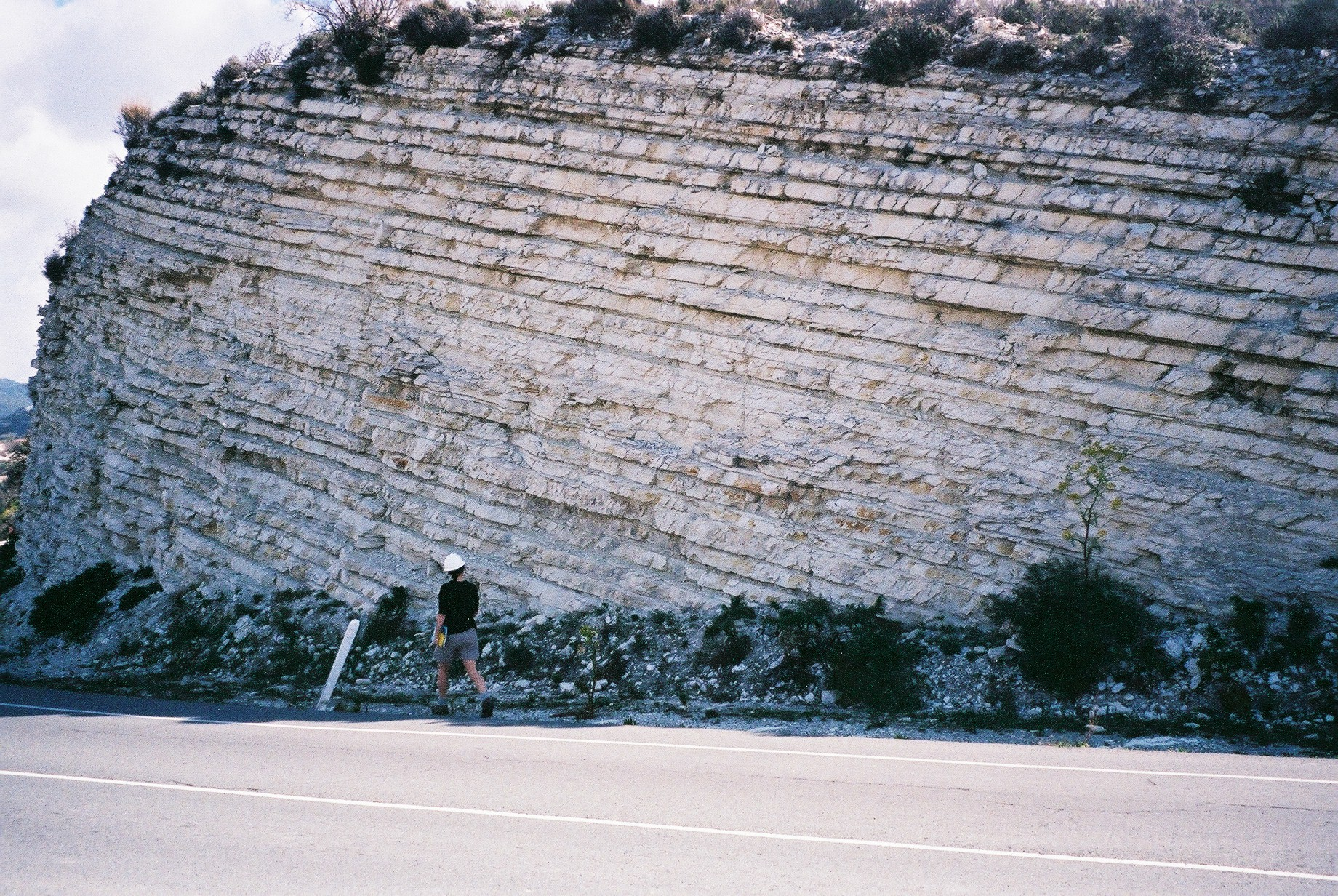
One further complication is worth understanding, because it shapes how the record is assembled.
A layer does not extend indefinitely. The conditions that produced it existed over a particular area, and beyond that area something else was happening — so the same interval of time is represented by a different rock in the next valley.
That means correlating sequences between locations is a substantial problem in itself. Matching rock to rock does not work, because the same rock type recurs at different times and different rock types are contemporaneous.
Several methods address it. Distinctive layers deposited across a wide area in a single brief event — a volcanic ash fall, for instance — provide a line that is truly the same age everywhere it appears, and those are extremely valuable as markers.
Fossil assemblages provide another route, since a species existing over a known interval places any layer containing it within that interval regardless of what the rock is made of.
Chemical signatures preserved in the rock provide a third, where a global change in conditions left a detectable trace in sediments everywhere.
None of those is perfect and combining them works. The point is that a sequence in one cliff is a local record, and assembling a general picture requires tying many local records together — which is a considerable intellectual structure built on top of the simple observation that lower means older.
Why the Gaps Matter
The consequence for how the past is understood is worth stating plainly.
An incomplete record is not a useless one. It is a record that must be read with its incompleteness in mind, and the incompleteness itself is informative — a gap indicates that something was happening, even if that something was erosion or non-deposition.
It does mean that arguments from absence require considerable caution. Something not appearing in the record may be absent because it did not exist, or because it lived somewhere that does not preserve, or because the relevant layers were removed before anybody looked.
And it means the resolution varies enormously between parts of the record. Some intervals are represented in extraordinary detail and some are barely represented at all, which is not a reflection of their importance.
Which is a reasonable thing to carry to any cliff face. What is in front of you is real, it is readable, and it is a small selection of what happened — chosen not by significance but by whether it happened somewhere that things get buried.
Like our content? Follow us for more.
