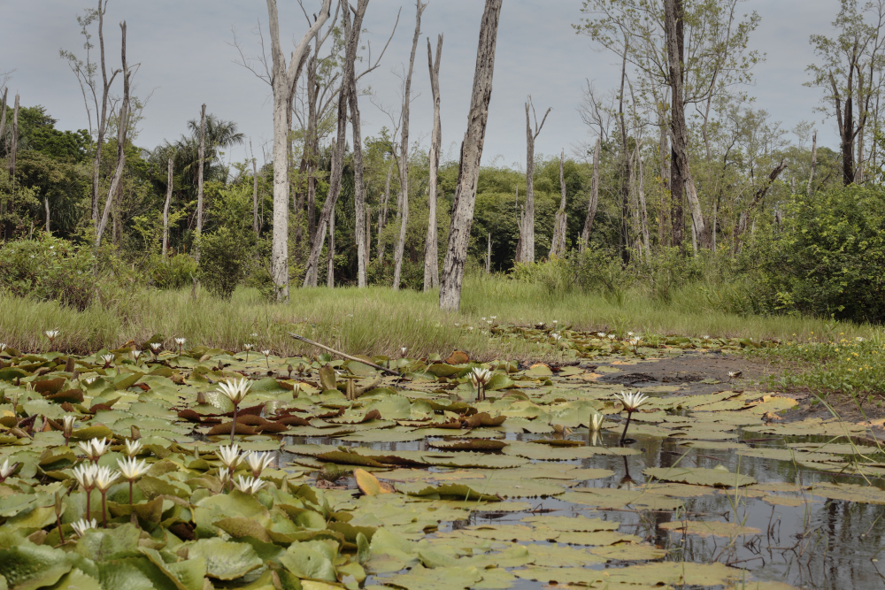
Wet ground forms where water arrives faster than it leaves. What happens afterwards – what grows, what was cut, what sank and what is buried – is all legible from the surface. Here are seventeen.
1. Water Arriving Faster Than It Leaves
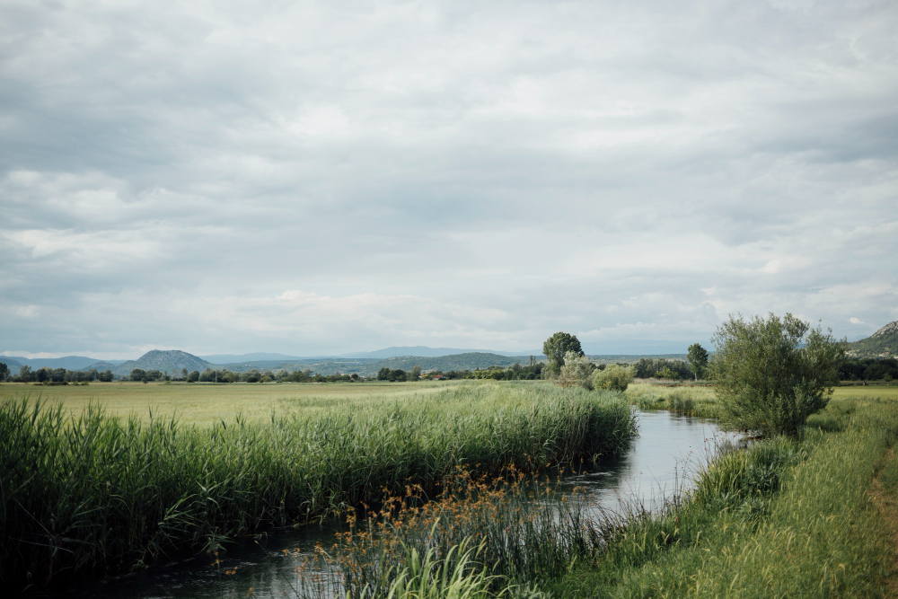
Wet ground is simply a place where the input exceeds drainage and evaporation, which can be produced by rainfall, by groundwater, by a river or by the sea.
The cause is arithmetic rather than climate. Excess input is the only requirement.
Like our content? Follow us for more.
2. Where the Water Comes From Sets the Chemistry
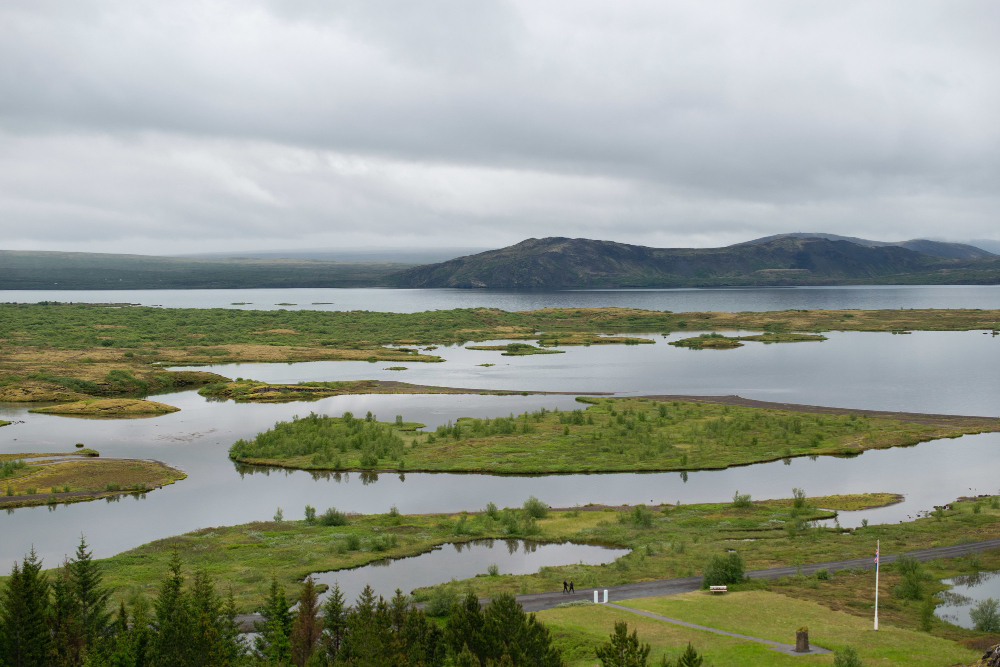
Rain is acidic and carries almost nothing dissolved; groundwater has passed through rock and carries minerals – so ground fed by one is poor and acidic and by the other is rich and alkaline.
The difference is enormous. Water source is what determines everything growing there.
3. Which Is Why the Plants Differ So Completely
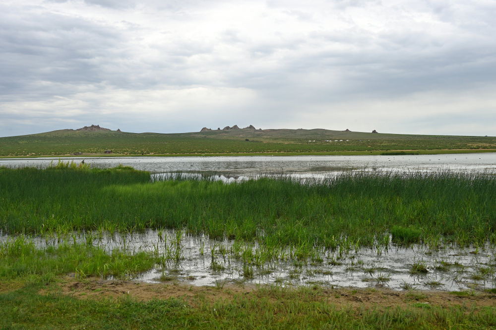
Two wet places a short distance apart can carry entirely different vegetation because one is fed from above and the other from below.
You can read the water source from the plants. Vegetation as indicator is the quickest diagnostic available.
4. Reeds Build Ground Upward
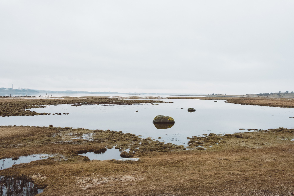
Dense stands slow water, trap the sediment it carries and add their own dead material, which raises the surface over time and converts open water to land.
The process runs continuously. Sediment trapping is wet ground filling itself in.
5. The Straight Lines Are All Artificial
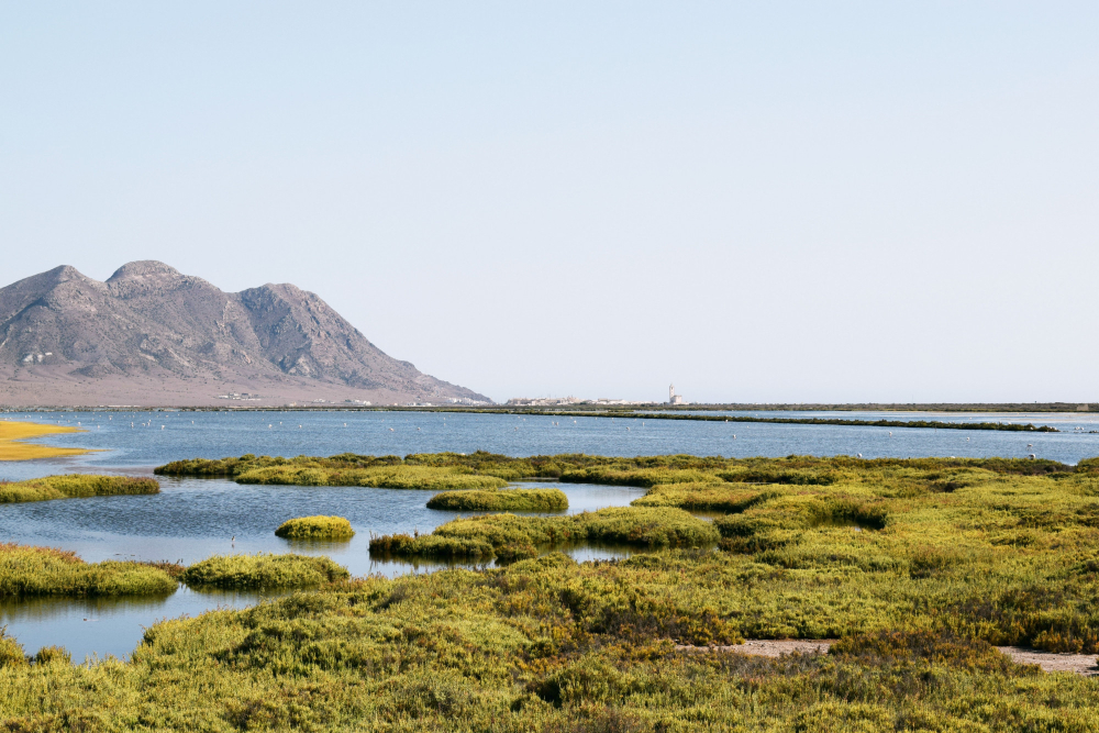
Water does not flow in straight lines. Any dead straight channel was cut, and the pattern of straight channels maps the drainage scheme that made the land usable.
Nature produces curves. Channel geometry is the clearest evidence of intervention.
6. And the Winding Ones Are Older Than the Straight Ones
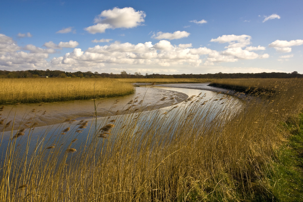
A meandering channel crossing a grid of straight ones is generally a natural watercourse that predates the scheme and was left in place.
The curves are the original. Relict channels are the landscape before it was organised.
7. Draining It Makes the Ground Sink
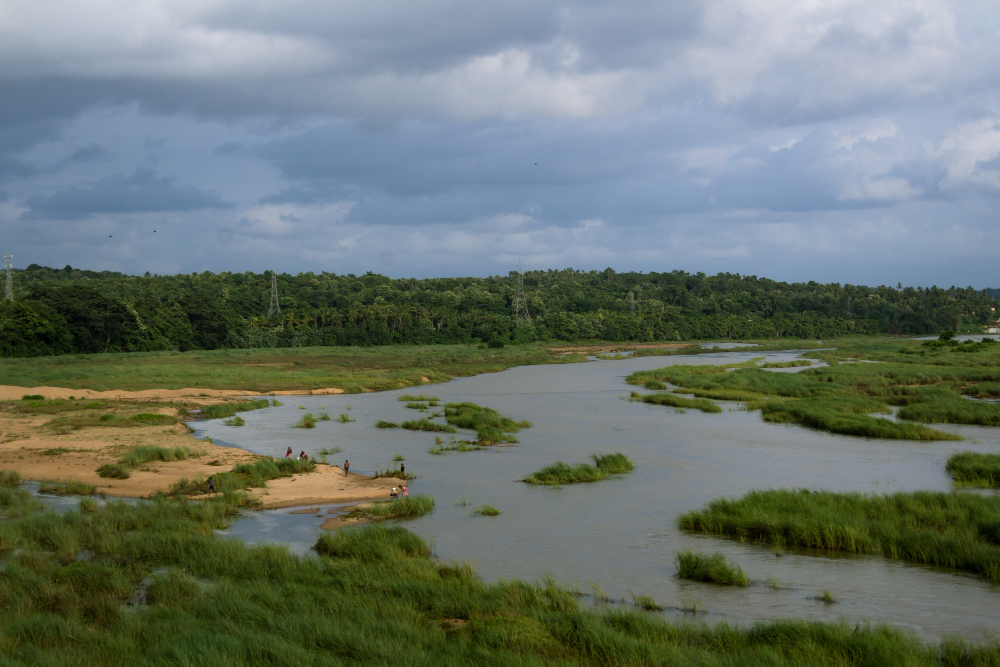
Removing water from peat and soft sediment allows it to compress, and organic material exposed to air decomposes and disappears – so drained ground loses height continuously.
It is not a one-off settlement. Ongoing subsidence is the permanent consequence of drainage.
8. So the Fields End Up Below the Rivers
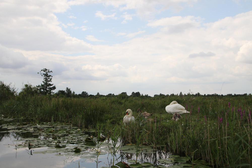
As the land sinks and the rivers do not, watercourses crossing drained ground end up running above the fields either side, contained by banks.
It looks impossible and is routine. Perched rivers are subsidence made visible.
9. Which Is Why Everything Is Embanked
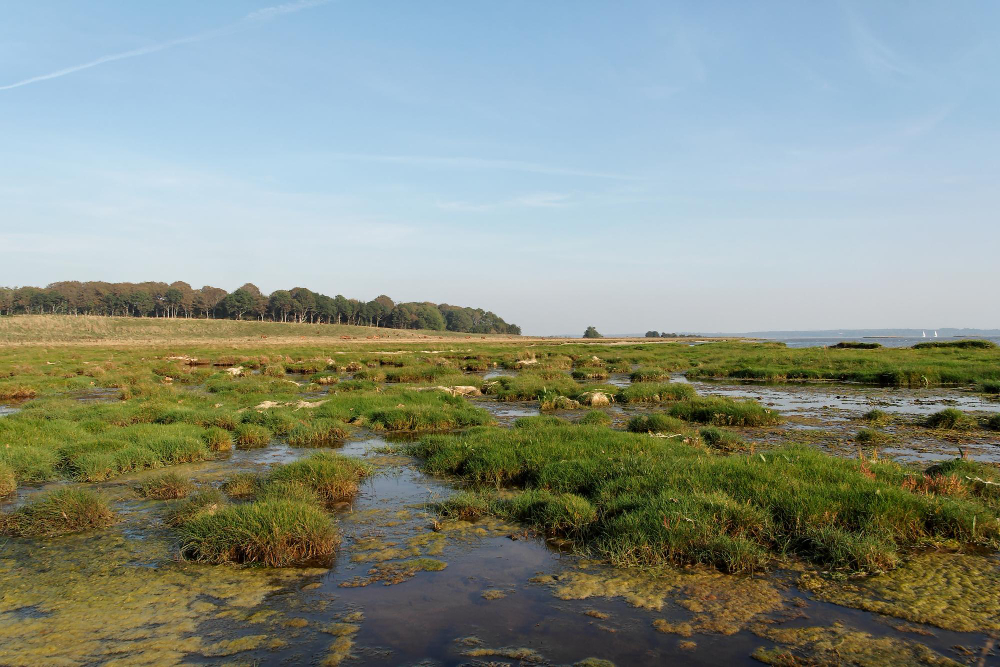
Once water is higher than land, banks are the only thing separating them, and the height of those banks records how much the ground has dropped.
Their size is a measurement. Embankment height is a record of what has been lost.
10. And Why Something Is Always Pumping
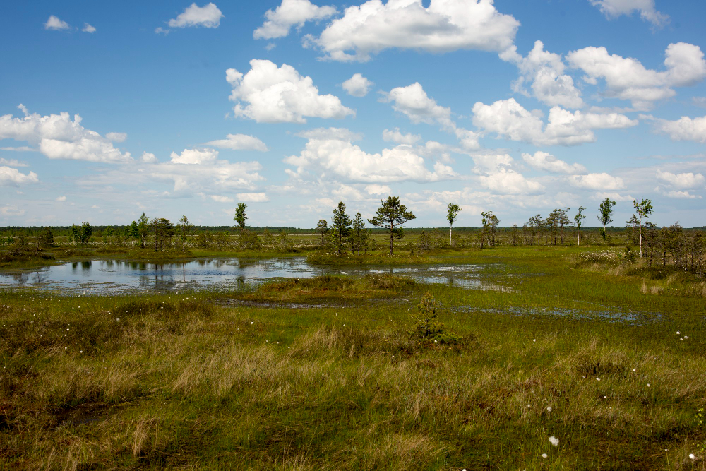
Water cannot drain uphill, so it must be lifted, continuously, from the low ground into the channels above – which means the landscape depends on machinery running permanently.
Stopping is not an option. Continuous pumping is what keeps the ground usable.
11. The Pumping Station Marks the Lowest Point
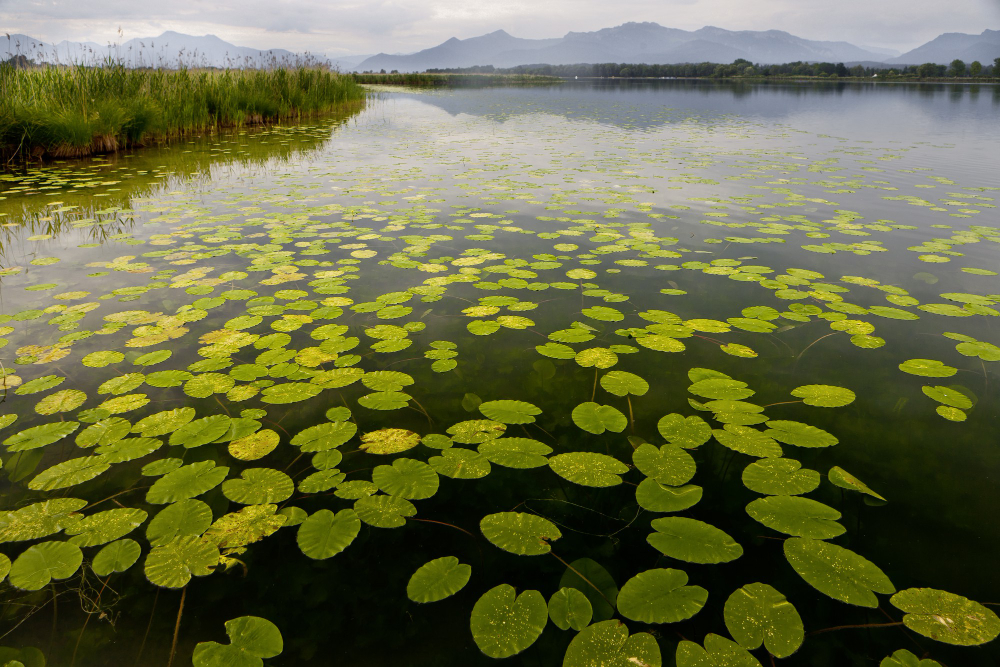
Each drainage block collects water to a single point where it is lifted, so locating the station tells you the bottom of that block and the direction everything drains.
It is the sump of the system. Station position reveals the whole drainage layout.
12. Salt Ground Shows Its Level in Stripes
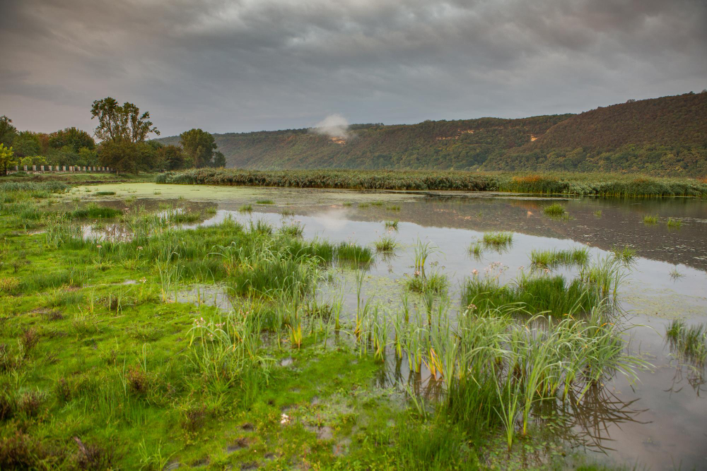
Where tides flood the land, how often a given height is covered determines what grows there – which produces distinct bands of vegetation running parallel to the water.
Each band is a flooding frequency. Salt marsh zonation is the tide written in plants.
13. And the Creeks Branch Like a Tree
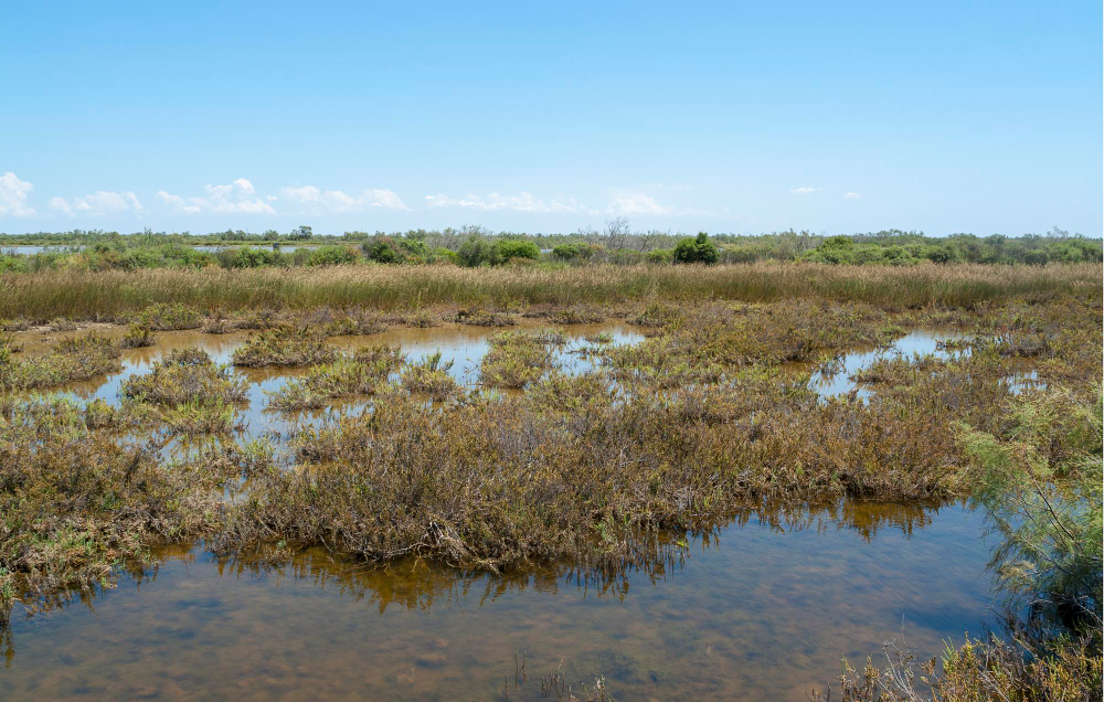
Tidal water entering and leaving a marsh cuts a branching network of channels, wide at the seaward end and dividing inland, which fills and empties twice a day.
They are cut by the tide rather than by rainfall. Creek networks are drainage working in both directions.
14. Certain Trees Mean Permanently Wet
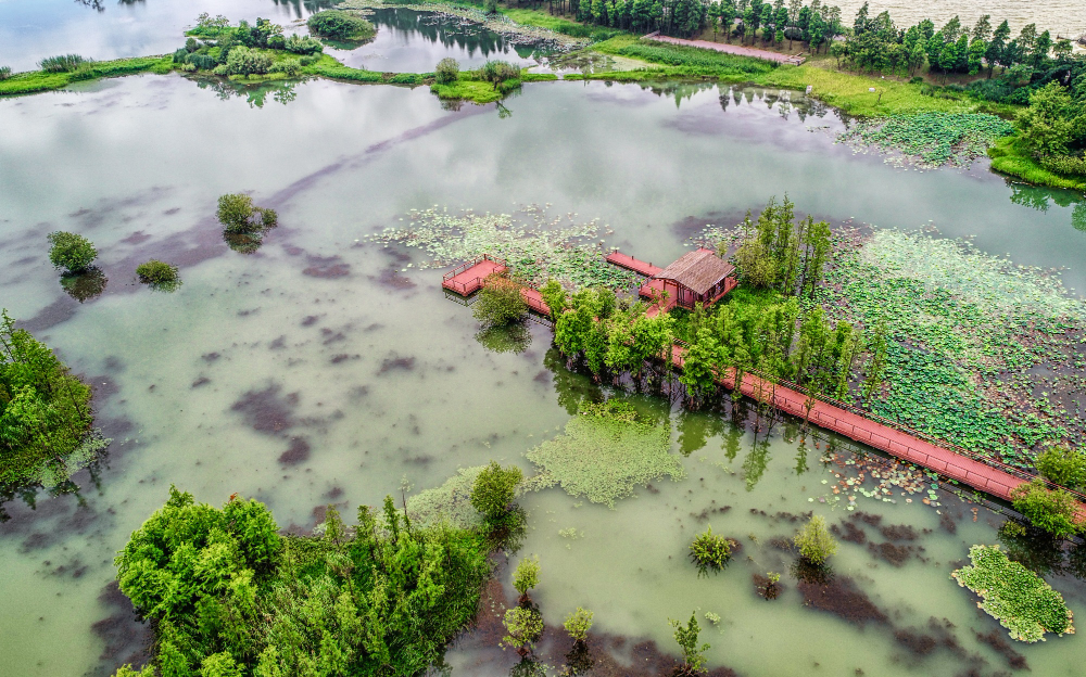
A few species tolerate roots in standing water indefinitely while most do not, so their presence marks ground that has never dried out.
Their absence is equally informative. Wet-tolerant trees are a reliable boundary marker.
15. The Field Shapes Tell You the Period
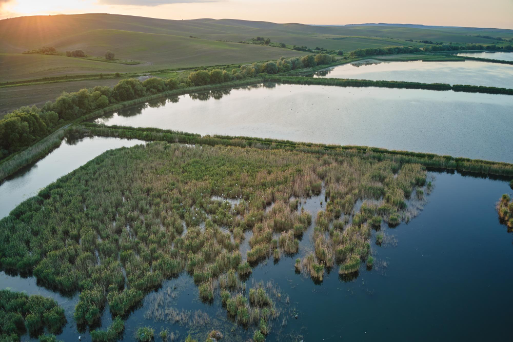
Land drained as an organised scheme has large regular rectangular fields; land reclaimed piecemeal over centuries has irregular ones following older channels.
The geometry dates the work. Field pattern is the drainage scheme signed and dated.
16. The Ground Preserves What Falls Into It
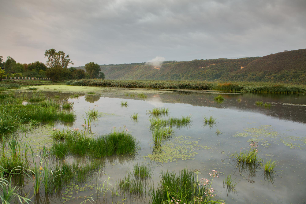
Waterlogged conditions exclude oxygen, which prevents decay – so timber structures, trackways and organic material survive in wet ground in a condition impossible anywhere else.
They deteriorate rapidly once drained. Anaerobic preservation is why such ground matters archaeologically.
17. And Drying It Out Destroys That
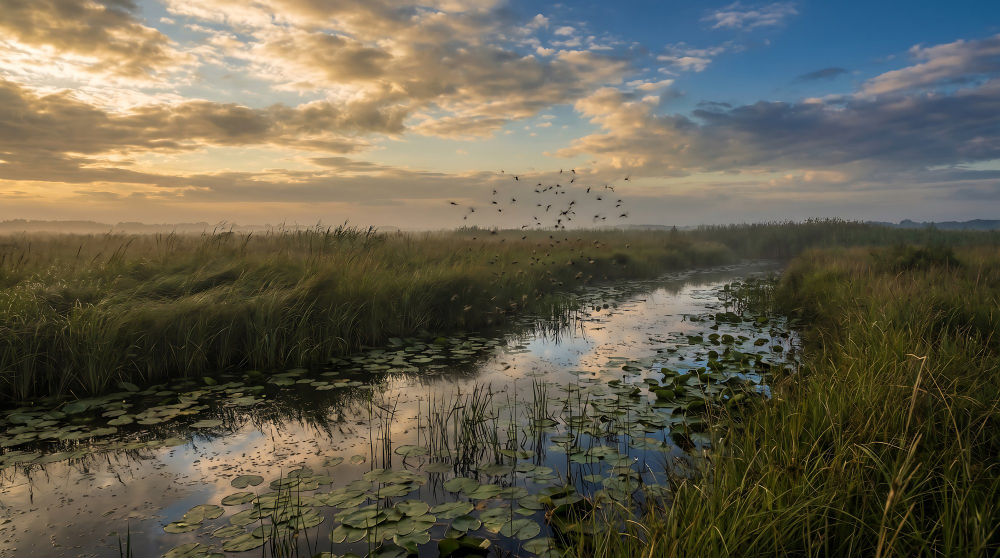
Lowering the water table admits air to material that has been sealed for thousands of years, which decays within decades – so drainage and preservation are directly opposed.
The loss is silent and complete. Preservation dependence is the cost that does not appear in any drainage account.
A Flat Landscape That Was Built
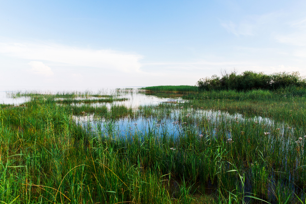
Water arriving faster than it leaves, a chemistry set by its source, straight lines cut by somebody, ground that sank once it was drained and machinery that cannot be switched off.
Practical notes: wet ground bears weight unpredictably and gives no surface indication of what is beneath, drainage channels are generally deeper and far steeper-sided than they appear, and tidal ground floods faster and from more directions than anybody expects – a creek network fills from behind as well as in front. Marked paths across such ground exist for reasons that are not visible.
Like our content? Follow us for more.