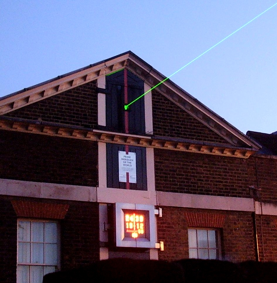
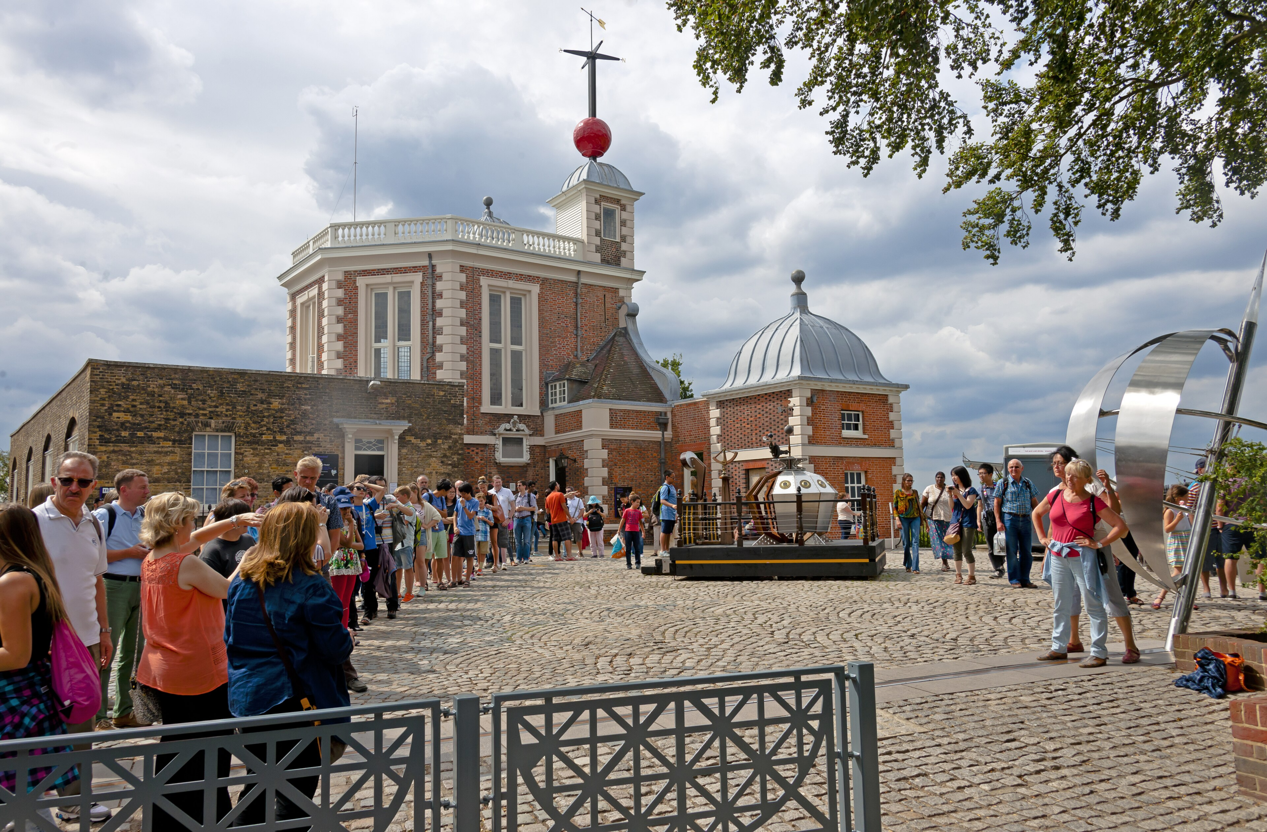
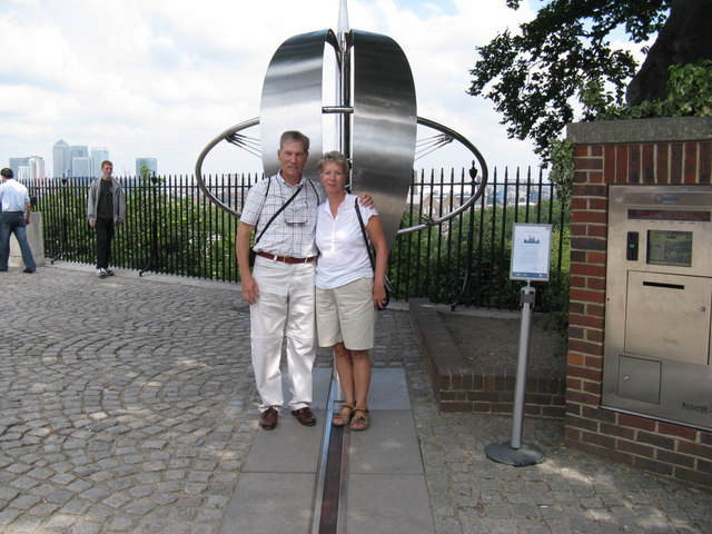
The Royal Observatory at Greenwich has one of the more unusual tourist attractions in the world: a line on the ground. Visitors queue for a photograph straddling it, one foot in the eastern hemisphere and one in the western, standing on the reference from which the world’s longitude and time are measured.
The line was fixed in 1884, when an international conference in Washington recommended that the world’s prime meridian should pass through the centre of the transit instrument at the Observatory of Greenwich — a telescope known as the Airy Transit Circle.
For over a century that was simply the answer. Then satellite navigation became something everyone carried in a pocket, and visitors started noticing a problem.
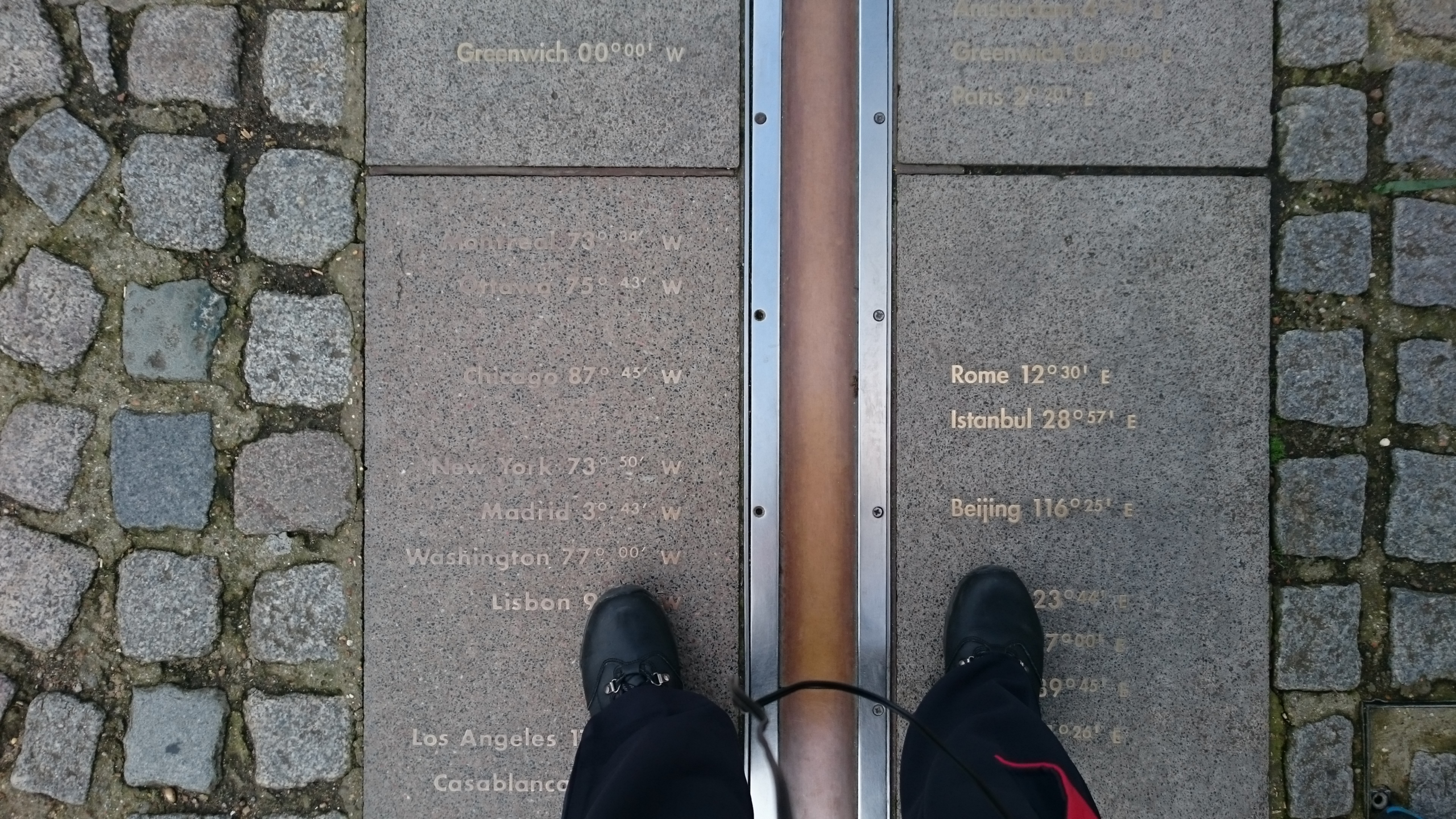
Stand on the brass line with a phone and it does not read zero. It reads a small fraction of a degree west. To reach zero longitude by GPS you have to walk roughly 102 metres, about 335 feet, east of the historic line — past the wall, into Greenwich Park.
For years this produced confused explanations, many of them incomplete or simply wrong. The real answer arrived in a 2015 paper, and it is more interesting than an error. Here is why the Prime Meridian is not where the Prime Meridian is.
The Obvious Explanations That Do Not Work
Several intuitive answers circulate, and it is worth disposing of them.
The first is that continental drift moved Britain. Tectonic plates do move, at roughly the rate fingernails grow, and modern reference frames do account for it — but the accumulated motion since 1884 is nowhere near 102 metres.
The second is that the original astronomers made a mistake. They did not. The Airy Transit Circle was carefully positioned and the observations were skilfully made using the best available methods.
The third is that the whole longitude system has shifted, meaning every line on Earth moved 102 metres. This is the one worth taking seriously, and it is false — and establishing that it was false was part of the point of the research. The team concluded that the entire system had not rotated. The Greenwich anomaly is a local phenomenon.
That last finding matters. If the global system had shifted, every coordinate ever recorded would need correcting. It did not.
Like our content? Follow us for more.
What Actually Happened
The explanation was published in the Journal of Geodesy in 2015 by a team including Stephen Malys and Nikolaos Pavlis of the National Geospatial-Intelligence Agency, John Seago, Ken Seidelmann of the University of Virginia, and George Kaplan of the US Naval Observatory.
Their conclusion: the offset is almost entirely explained by the difference between two ways of defining coordinates, astronomical and geodetic, combined with the requirement to keep astronomical time continuous.
To measure longitude by the nineteenth-century method, you need to establish which way is straight up. Astronomers did this using a basin of mercury: liquid mercury settles perpendicular to the local direction of gravity, giving a perfectly level reference surface, and the telescope was aligned to it.
That works beautifully, with one subtlety. Gravity does not point precisely toward the centre of the Earth everywhere. The planet is not a perfect sphere, and its mass is unevenly distributed — mountains, valleys, variations in rock density all tug the local gravity vector slightly off true.
So “vertical” as determined by a mercury basin at Greenwich is not quite the same as “vertical” as measured from the centre of the Earth’s mass. The angle between them is called the deflection of the vertical.
Satellite navigation defines vertical the other way. GPS coordinates are referenced to a geocentric frame, measuring in a straight line through the Earth’s centre of mass, which removes local gravitational effects entirely.
The researchers showed that the east-west component of the deflection of the vertical at Greenwich is of exactly the right sign and magnitude to account for the entire 102-metre shift. High-resolution global gravity models confirm it.
In other words: the historic line is where a telescope levelled by local gravity said zero was. The GPS line is where zero is when you ignore local gravity. Both are correct answers to slightly different questions.
The Other Half of the Explanation
There is a second component, involving timekeeping rather than geometry.
In 1984, the Bureau International de l’Heure moved from a system of astronomical station coordinates based on local gravity to a geocentric system based on distances from the Earth’s centre of mass. That system became the basis for the World Geodetic System 1984, which GPS coordinates use.
Crucially, the transition had to preserve continuity in astronomical time. Universal Time could not simply jump when the reference system changed, because too much depended on it. Maintaining that continuity, alongside the change in how coordinates were defined, contributed to fixing the modern zero meridian where it sits.
So the shift is not an error being corrected. It is the visible consequence of a deliberate transition between two well-defined systems, made in a way that kept the clocks running smoothly.
The Observatory’s longitude in the modern frames is a small non-zero value — a few seconds of arc west — which is precisely the 102 metres visitors walk.
What a Transit Circle Actually Did
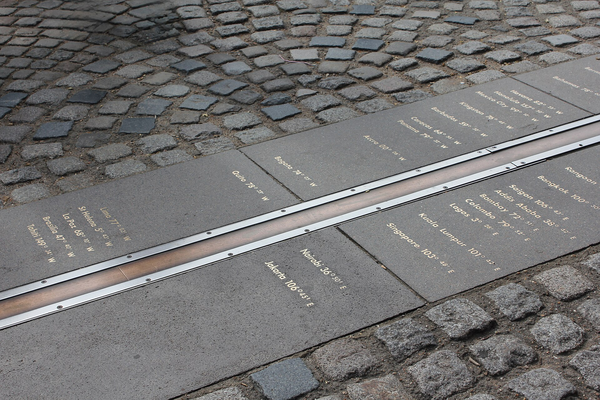
The instrument at the centre of this deserves a description, because it explains why a telescope defines a line on the ground.
The Airy Transit Circle, installed in 1850 and named for the Astronomer Royal who commissioned it, is not a telescope for looking around the sky. It is fixed, able to swing only along a single north-south arc, pointing straight up and tilting toward the horizon in one plane.
That plane is the meridian. As the Earth rotates, every star passes through it once a day, and the instrument’s job was to record the precise moment each one crossed.
Those crossing times gave local sidereal time with great accuracy, and comparing them against tables allowed longitude to be determined elsewhere — which is why a national observatory’s meridian became a global reference. The line on the ground is simply where that fixed plane meets the earth.
Aligning the instrument required knowing which way was up, hence the mercury basin. Everything else in the modern discrepancy follows from that one dependency.
Does It Actually Matter?
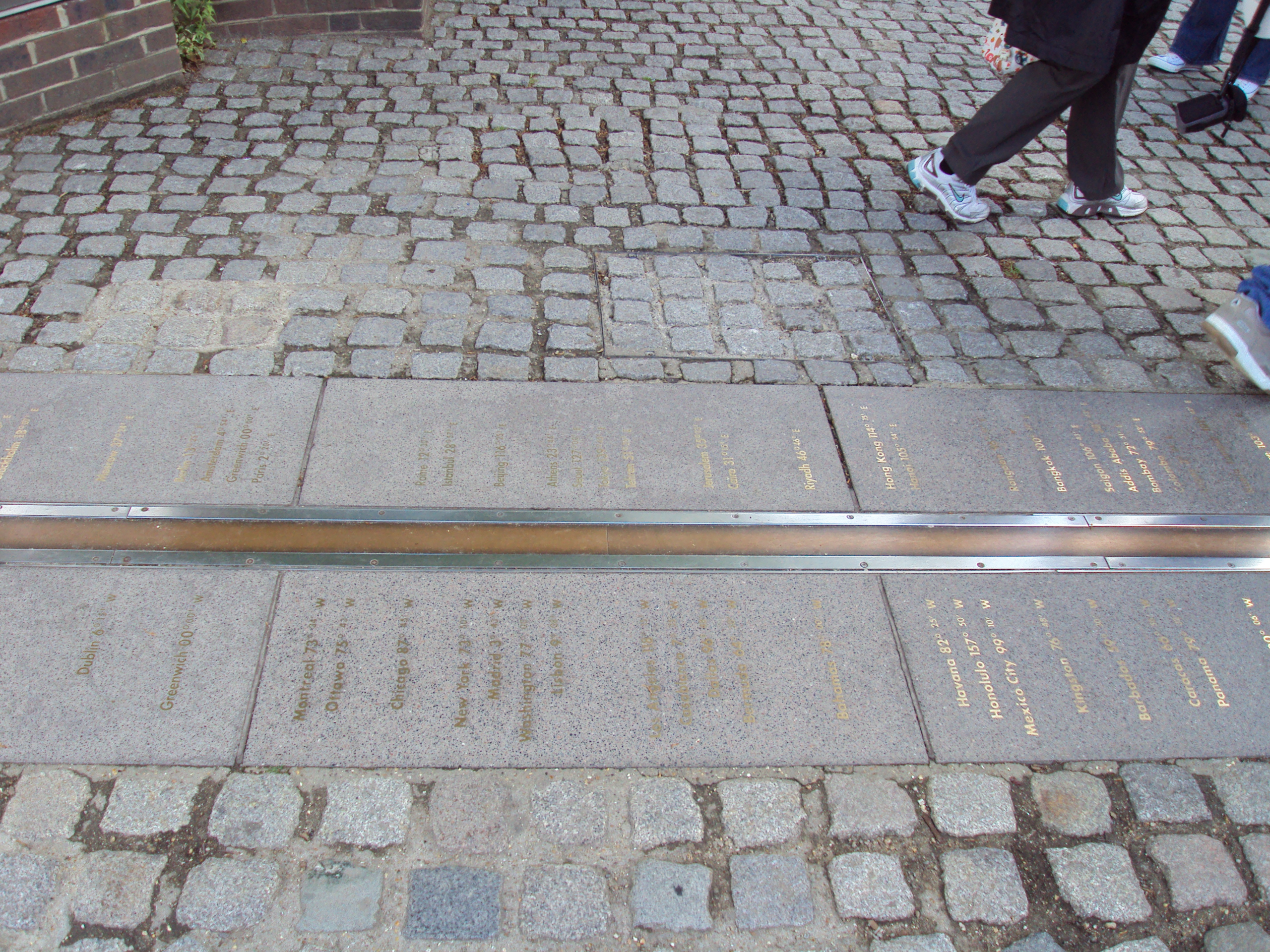
For practical purposes, no, and Seidelmann has said as much.
Longitude worldwide has not rotated, so no maps are wrong, no coordinates need adjusting, and no navigation is affected. The displacement is a localised artefact at one historically significant spot. GPS itself is continuously micro-adjusted for effects including crustal motion, so nothing in the system is static anyway.
The practical consequences are essentially confined to the Observatory site and how it explains itself to visitors. There has been discussion of marking the modern line, though it falls inside a heavily regulated Royal Park, which complicates the idea.
What the episode does illustrate rather elegantly is how improved measurement changes what we can see. As Seidelmann framed it, better technology improves accuracy across any measurement system, and that improvement is what lets you discover things — which he characterised as the progress of science.
The 102 metres were always there. Nobody could detect them until instruments existed that measured vertical from space rather than from a dish of mercury.
Why Greenwich Won in the First Place
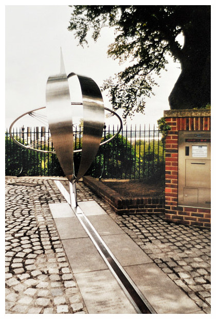
The 1884 conference had to choose from several candidates, and the reasoning was practical rather than symbolic.
Before that point, different countries used different prime meridians — Paris, Cadiz, Naples, Washington and others were all in use, which meant a position could have several longitudes depending on whose charts you carried. The proliferation was a real hazard for navigation and an obstacle to standardising time.
Greenwich was selected largely because it was already the de facto standard at sea. British nautical almanacs based on Greenwich were widely used internationally, and by the time of the conference a substantial majority of the world’s shipping tonnage was already navigating with Greenwich-referenced charts.
The decision was also bound to timekeeping. Establishing a single prime meridian made a global system of standard time zones workable, which mattered enormously to railways and telegraphy — industries that had made local solar time untenable.
Not everyone was content. France abstained from the vote and continued using the Paris meridian for decades afterwards, referring to Greenwich time by a deliberately circumlocutory formulation rather than naming it.
Two Lines, Both Right
The satisfying resolution is that neither line is wrong.
The brass line marks where the Airy Transit Circle stood, and it is truly the historic Prime Meridian of the World, the reference agreed in 1884 and the origin of the time standard that organised global railways, shipping and telegraphy. Its position reflects the direction of gravity at that spot, which is a real physical property of that piece of ground.
The GPS line marks zero longitude in the geocentric reference frame the modern world actually uses, stripped of local gravitational quirks.
The gap between them is not a mistake by either party. It is a measurement of how much the Earth’s own uneven mass tilts the local vertical at Greenwich — which is a rather beautiful thing for a tourist attraction to accidentally record.
So the queue for the photograph is standing on the right line for the right reason, and the phone in their pocket is also right, and the 102 metres between them are the physical signature of the planet not being a perfect ball.
Like our content? Follow us for more.